We moved...
Follow @DefraDigital for all the latest news & opportunities from @DefraGovUK's digital, data and technology teams.
Search/Tag #DefraData to explore the use of our data.
We have published an invitation to tender seeking suppliers to deliver the next version of the Data Services Platform, https://t.co/dQ3iwdNm4Q.
The ITT can be found at: https://t.co/kMWzOfXfWq
Closing date: 14 March 2022
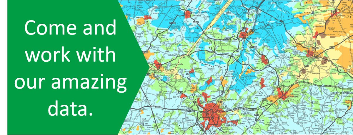
🚨 Data Jobs Claxon 🚨
We're growing our @DefraData team again! So many jobs that this is a thread!
1/4 Data Engineers
Senior Data Engineer: https://t.co/y5Skpce234
Data Engineer: https://t.co/2TZ1Cyn6VD
#DataJobs#DefraData
🚨 Data Jobs Claxon 🚨
3/4 Data Analysts and Scientists
Apprentice Data Analyst in the Environment Analysis Unit: https://t.co/1cn8zKLo41
Data Scientist: https://t.co/HUk3EiJqWC
#DataJobs#DefraData
We have published an early engagement notice for the procurement of the next version of our Data Services Platform.
For all the details & contact information see: https://t.co/G1d7HP08dH.
This is a fantastic opportunity to develop your ideas on how to use data to make better policy and deliver better public services, open to all civil servants and public servants. Don’t miss this chance. @PolicyProfUK
📢Our new Ecology and Fish Data API is now live. You can now access the Environment Agency’s freshwater fish, invertebrate, macrophyte, diatom and marine phytoplankton data is this format. Have a go and let us know what you think!
https://t.co/jk25CiREXe
Product manager in UK Government? Very interested in data?
Come and work on #FutureFarming as our Lead Data Product Manager: https://t.co/y5fHQGMSnl.
Find out more about the programme: https://t.co/ST6u0iquOz
@dataenvagency can you folks help with this? I think for datasets you could query the extents in https://t.co/VA7odUE9Uq metadata using the CKAN API. But I don’t think this quite answers the question…
@DefraData Many thanks for the great data you publish, I was wondering if there's an API that will tell me which datasets are held for a given geographic area, ie. National Grid tile has DSM for these years at this resolution plus some aerial imagery?
Some illuminating information from the @NaturalEngland science team on what the view from the space tells us about how management choices affect our uplands.
As part of defining the national priorities for geospatial data standards, we would like to understand better how users interact with geospatial data now, and want to in the future. Complete the survey: https://t.co/5meAg5JSY2 #HaveYourSay#GeospatialData
We are looking for a current civil servant to join us as a Service Analyst. The successful candidate will be technically minded and able to support a wide range of our data & information services...
https://t.co/yca5WruyVC
#DefraData#jobs