Deimos Imaging, an UrtheCast Company is a geo-information company providing exclusive access to Earth Observation imagery through a unique virtual constellation
#DYK that with our #imagery, more accurate market predictions can be made, thanks to the ability to monitor the volume of oil stored in a specific area? Want to learn more about our benefits? Just click here! #OilandGas#EarthObservation#RemoteSensing
https://t.co/iUmYBogHrc
Because it can capture two images at a time from different angles, #DEIMOS2's imagery can be used to create 3D elevation models called DEMs: useful for measuring the size, length and slope of drainage networks and basins. #LandMapping#LandAdministration
https://t.co/tDvm9LDxai
#DYK that our product #ViSOR offers a powerful interface to perform high quality feasibility studies and assists tailor-made satellite tasking requests of any area, anywhere in the world? Want to know more? Just click here!#EarthObservation#RemoteSensing
https://t.co/tBjsTANGUh
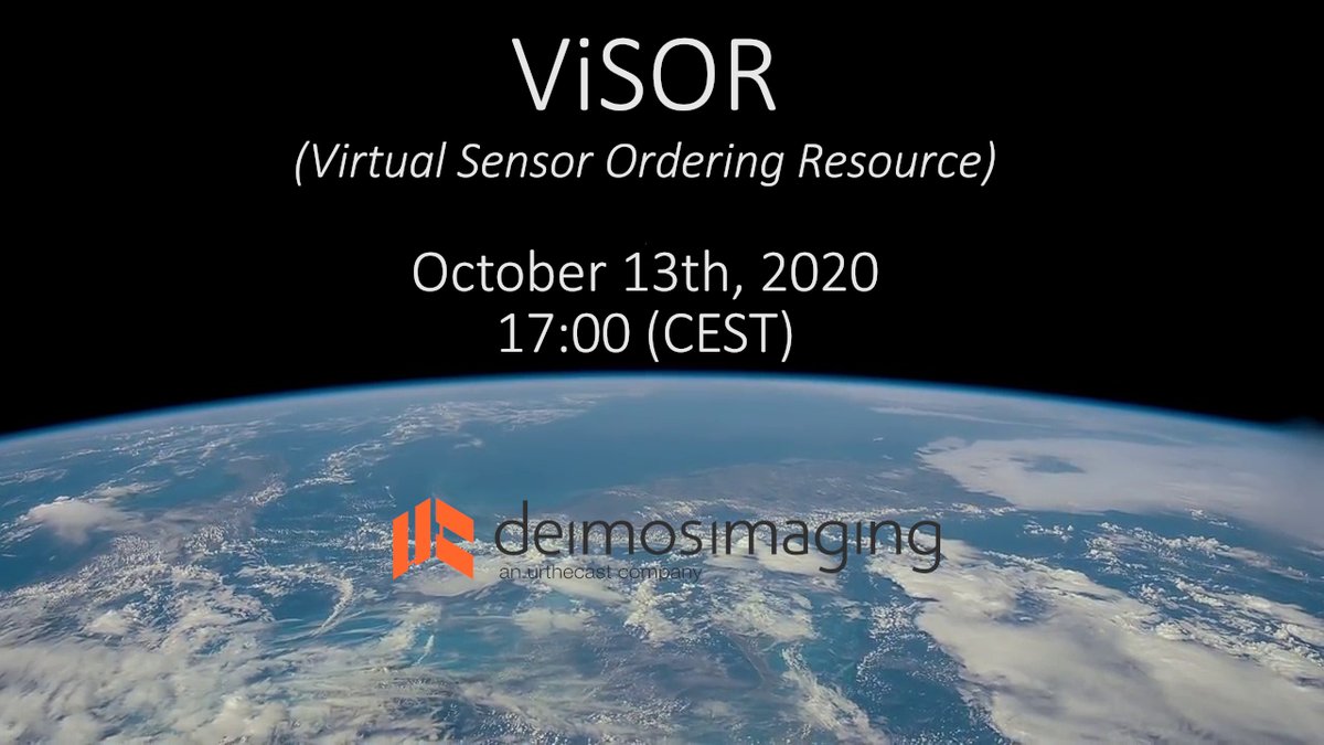
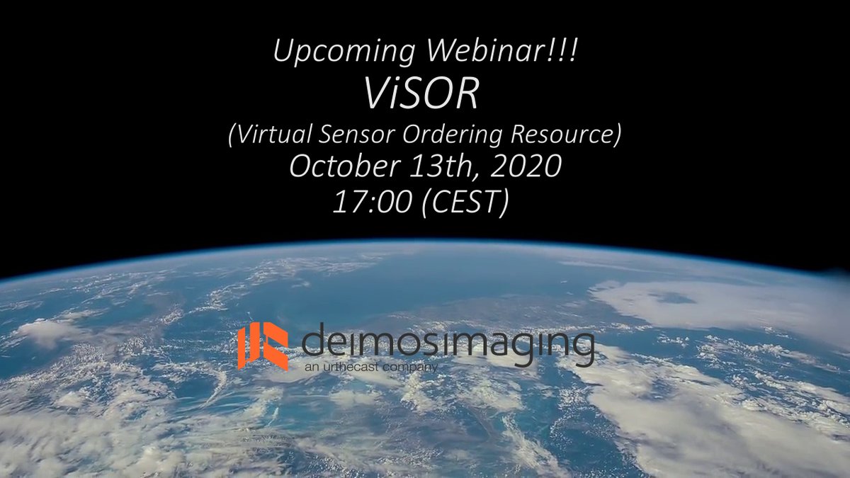
Don't miss the upcoming webinar #ViSOR! our unique and powerful interface that allows you to manage our extensive Constellation of Satellites! #EarthObservation#RemoteSensing#SatelliteImagery
Just click here to register:
https://t.co/RvzTmZL4Ld
¡Join us!
Would you like to know about our key benefits? Our wide range of agile, multi-sensor, multi-spectral & multi-resolution #imagery can ensure a VERY HIGH revisit frequency. Just click here and learn more! #HighResolution#EarthObservation#RemoteSensing https://t.co/328g2HStR8
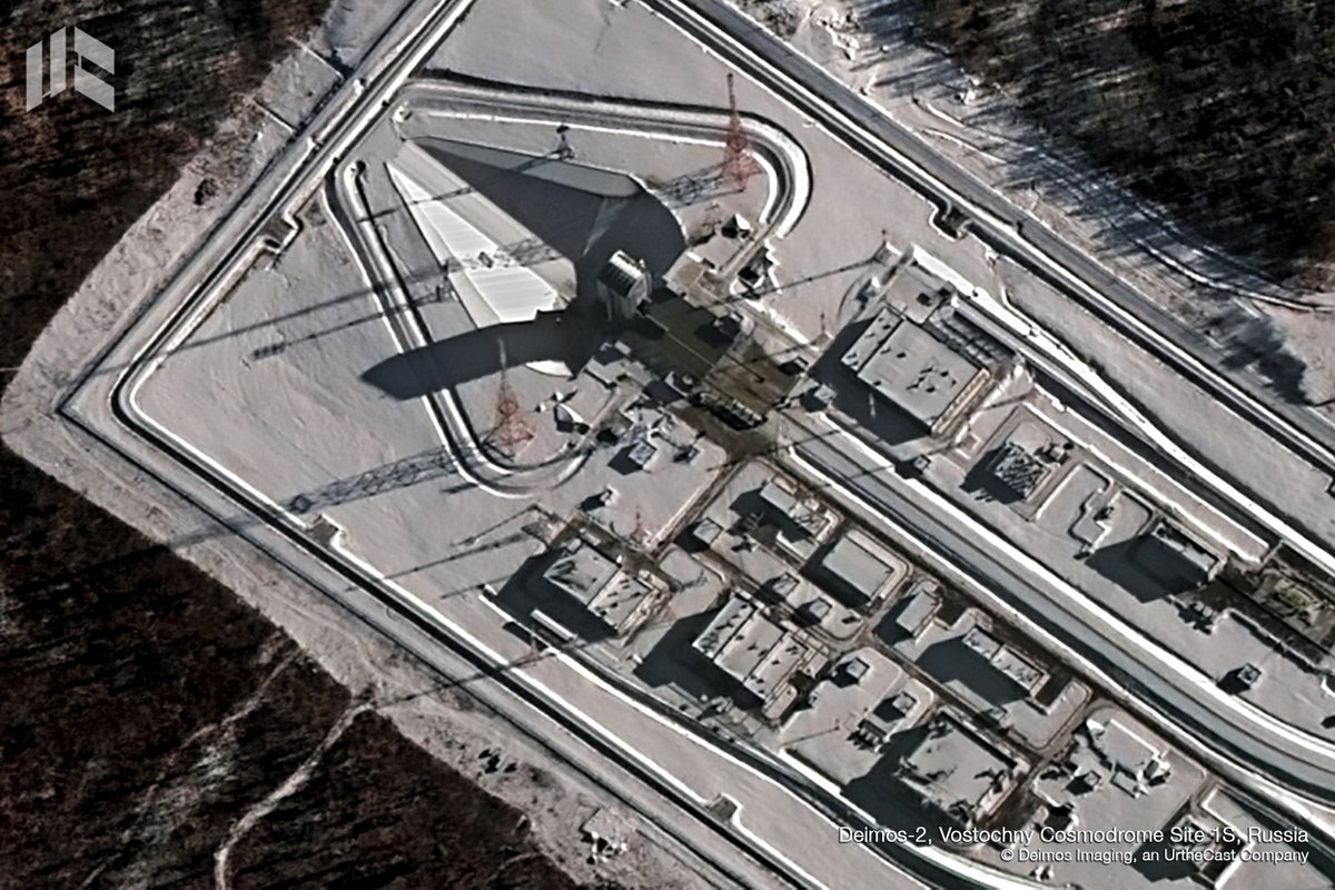
The #WorldSpaceWeek 🚀💫 starts today! so we bring you this #DEIMOS2 view over the #VostochnyCosmodrome, a Russian spaceport above the 51st parallel north in the Amur Oblast, in the Russian Far East. The first launch took place on 28 April 2016 at 02:01 UTC. #Russia#WSW2020
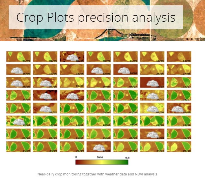
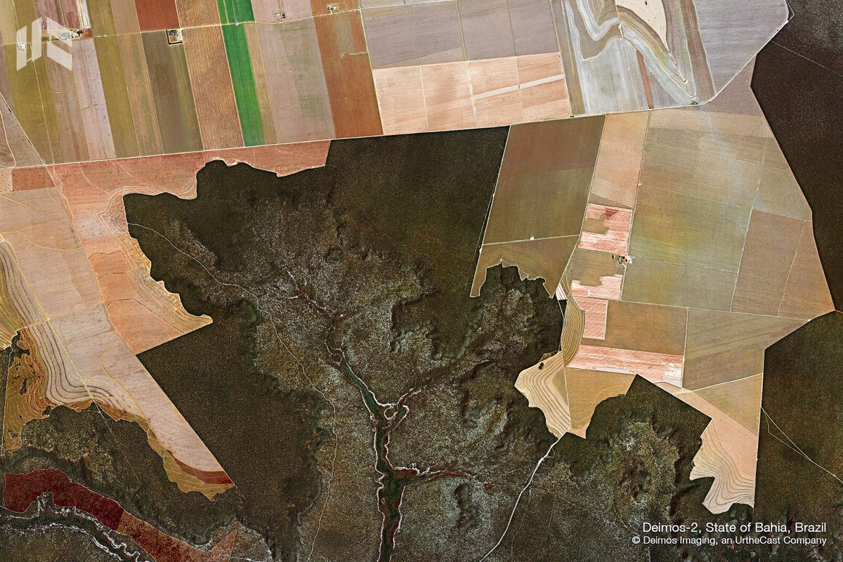
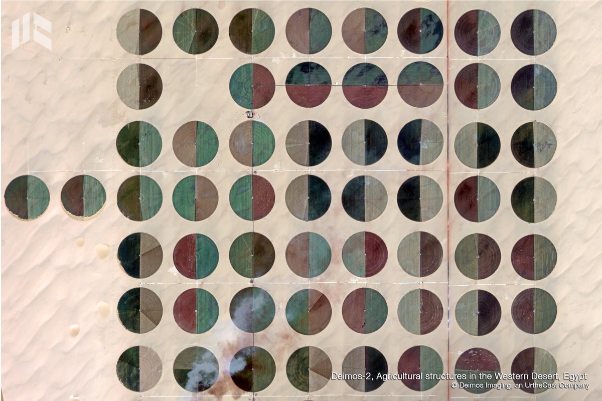
It is crucial to enable #PrecisionAgriculture through innovative, productive and sustainable farm management. Just define your criteria to trigger our #imagery service! Find out more information here!
https://t.co/502tNMAQbb
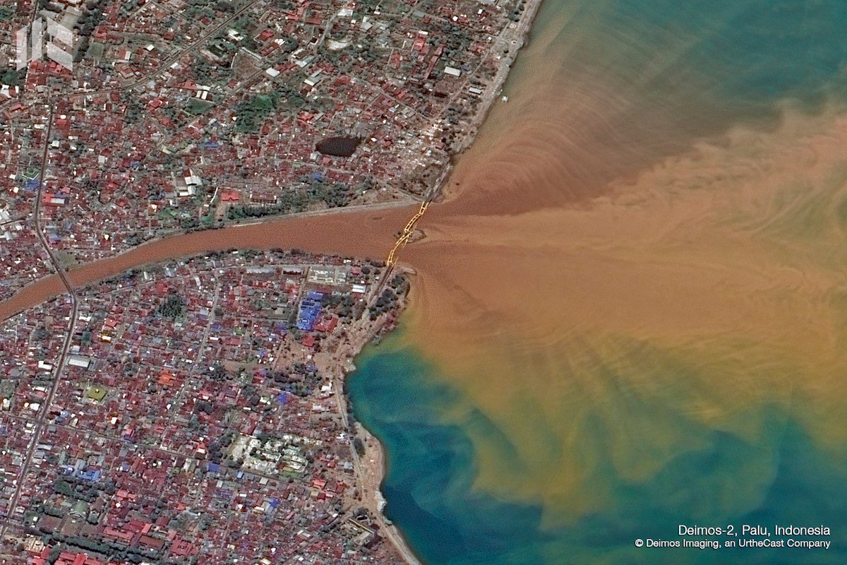
#DYK that #SatelliteImagery is a crucial tool to assist the reconstruction of devastated cities by a #tsunami? Deimos Imaging and its #EmergencyService system, continuously work to provide high quality data so decision-makers can provide quick response and accurate solutions.
¡Hola! Ya está disponible en nuestra web la grabación del Seminario “#ViSOR- Virtual Sensor Ordering Resource” la herramienta con la cual puedes manejar nuestra constelación de mas de 30 satélites! Solo haz clic aquí y conoce mas sobre nuestro producto!
https://t.co/6sCv1JRleo