DickinsonALERT: Flood Watch Issued
FLOOD WATCH IN EFFECT THROUGH THURSDAY EVENING...
* WHAT...Flooding caused by excessive rainfall continues to be
possible.
Register for DickinsonALERT:
https://t.co/qUdvtXGGdF
DickinsonALERT: Comcast Widespreadread Service Outage
Comcast is currently experiencing a widespread service outage impacting tv, internet, and phone services in our area.
https://t.co/zubFJQKVqT
Dickinson ALERT. Dickinson Police Department is Asking for Assistance Locating an Endangered Runaway Juvenile
The Dickinson Police Department is seeking assistance locating an endangered runaway juvenile. The juvenile is a 9-year- https://t.co/ZEguQ1hhlA
As the system approaches the coast towards midweek, there will be a potential for locally heavy rainfall and flooding, particularly near the coast. Other potential impacts, like wind and coastal flooding, remain uncertain at this time. #houwx#txwx
The @NHC_Atlantic continues to monitor a disturbance in the Bay of Campeche, and has increased chances for formation to 70%. While the exact track of this system remains uncertain, it should be closely monitored as is moves northward over the next few days. #houwx#txwx
Our crews continue to restore power around the clock. A significant amount of remaining customers will be restored by end of Sunday, July 14. However, the hardest hit areas that are having to be rebuilt could extend into early next week.
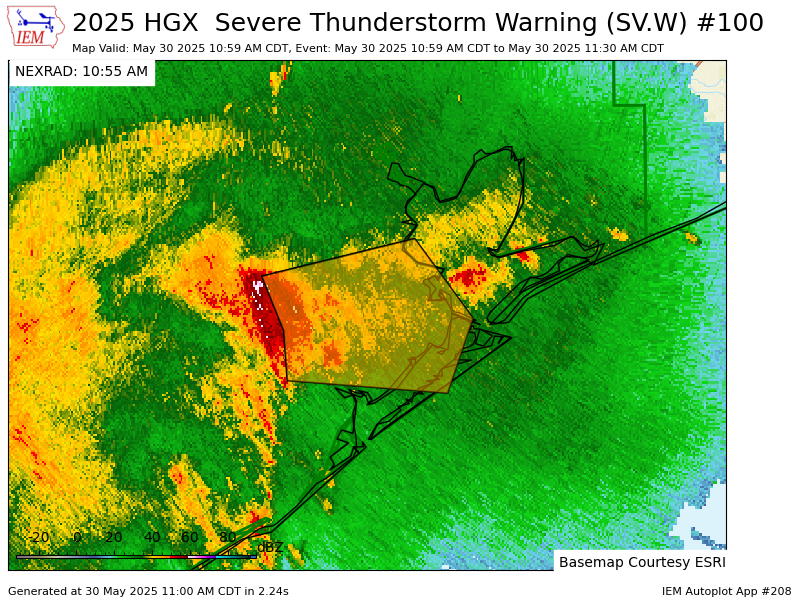
Quite something to have to put out a warning for right over our own heads!
We got some very large hail at the office here in League City this morning, over 2"!
Please continue to be weather-aware through the morning as strong to severe storms persist.
#HOUwx#TXwx
DickinsonALERT: 9AM Hazardous Weather Forecast Issued by NWS HGX
Updated Risks for Dickinson Area:
- Enhanced Risk (3 of 5) for Severe Weather
- Marginal Risk (1 of 4) for Excessive Rainfall
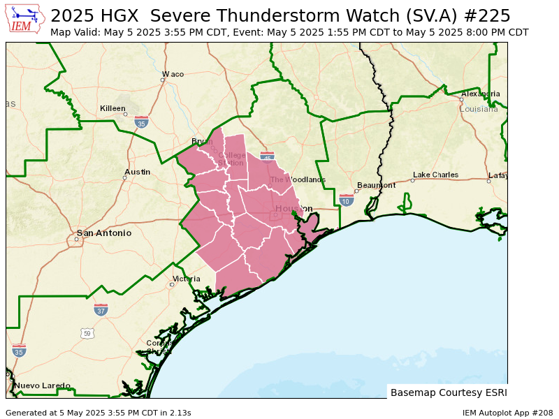
All of SE Texas is now in an Enhanced Risk (level 3 of 5) for Severe Storms.
Looking at two windows for storms:
1: Early to mid-afternoon
2: Late tonight into daybreak Wednesday
Damaging wind gusts & large hail will be possible. Be sure to stay weather-aware. #TXwx#HOUwx
Two rounds of strong to severe storms are possible today:
1: Early to mid-afternoon
2: Late tonight into daybreak Wednesday
There is potential for these storms to produce damaging wind gusts, hail, and locally heavy rainfall.
Be sure to stay weather-aware today. #TXwx
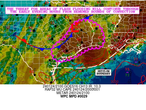
Parts of our state continue to see excessive rainfall, with the potential for flash flooding. Stay weather aware, avoid low water crossings and check the latest road conditions at https://t.co/lqEHtsNc0v #TurnAroundDontDrown
3:15 PM Radar Update/ moderate to heavy showers continuing to track NE. A lull in activity expected this evening before another round of showers moves in from the SW after midnight. A Flood Watch remains in effect through noon Thursday. Remember, turn around, don’t drown!