HUGE explosion caught live on stream as this mega storm rolls into Texas. We are tracking this dangerous situation right now. If you are in the path you need to be in your safe spot immediately. Come hang with us on the live stream for updates.
WATCH LIVE: https://t.co/ZrzmVZGBxi
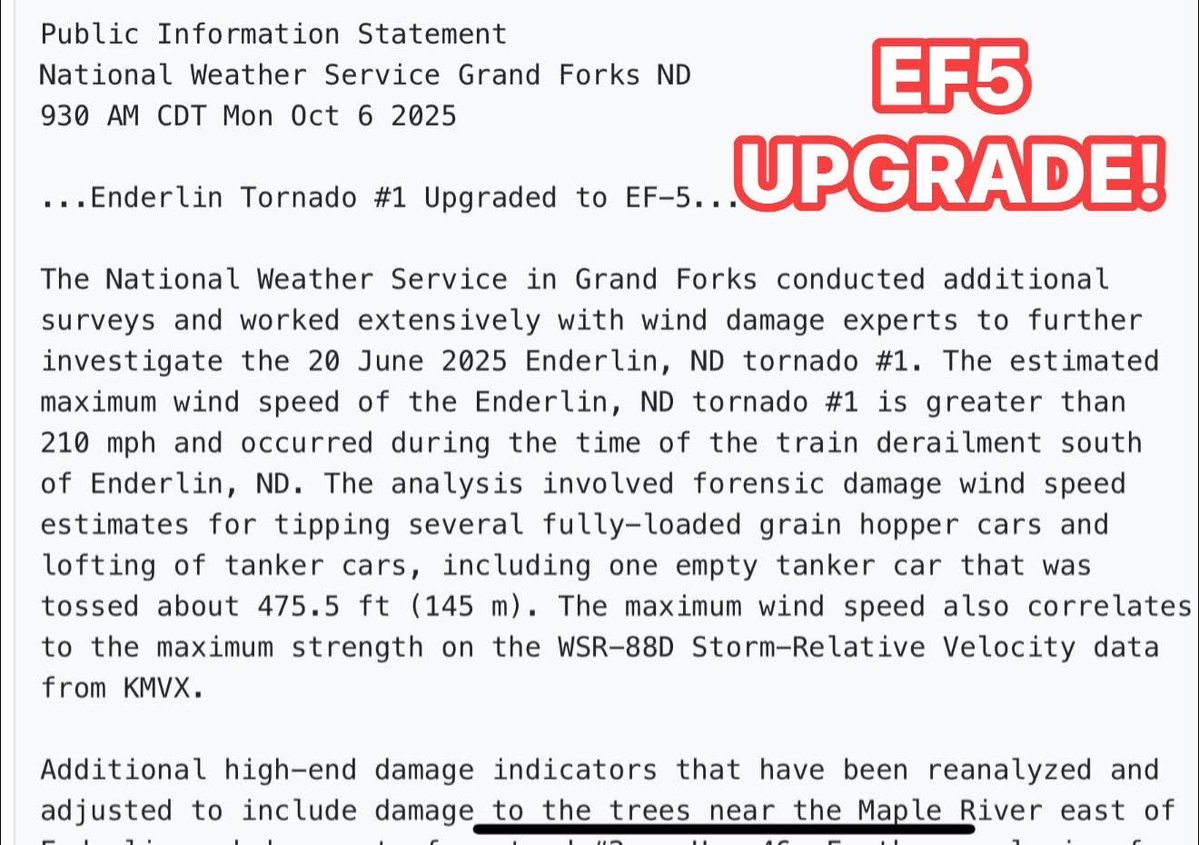
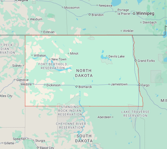
BIG BREAKING NEWS! The Enderlin, North Dakota #tornado from June 20, 2025 has been UPGRADED TO AN EF5. This is the first EF5 since 2013, and happened during the record-breaking year for tornadoes in North Dakota. This happened with the second supercell while we were doing search and rescue after the Spiritwood tornado. Great work by Grand Forks NWS on the detailed analysis, which continues.
TORNADO, GORILLA HAIL & DERECHO WIND BAG THREAT THIS AFTERNOON AND NIGHT
Intense supercells are forecast to fire in the Oklahoma and Texas Panhandles around 3-4 pm capable of 5-6 inch diameter hail and #tornado production! These supercells will cause major problems as they push into western Oklahoma this evening, before evolving into a fast-moving bow echo capable of producing 100-120 mph winds, stronger in embedded tornado vortices. This line could impact the OKC and DFW areas tonight!
Full blown Dominator intercept mode today as we are meeting up with Andrew for our new anemometer.
Stay tuned to watches and warnings in the risk area!
Thank you @PettusWX for dominating these graphics