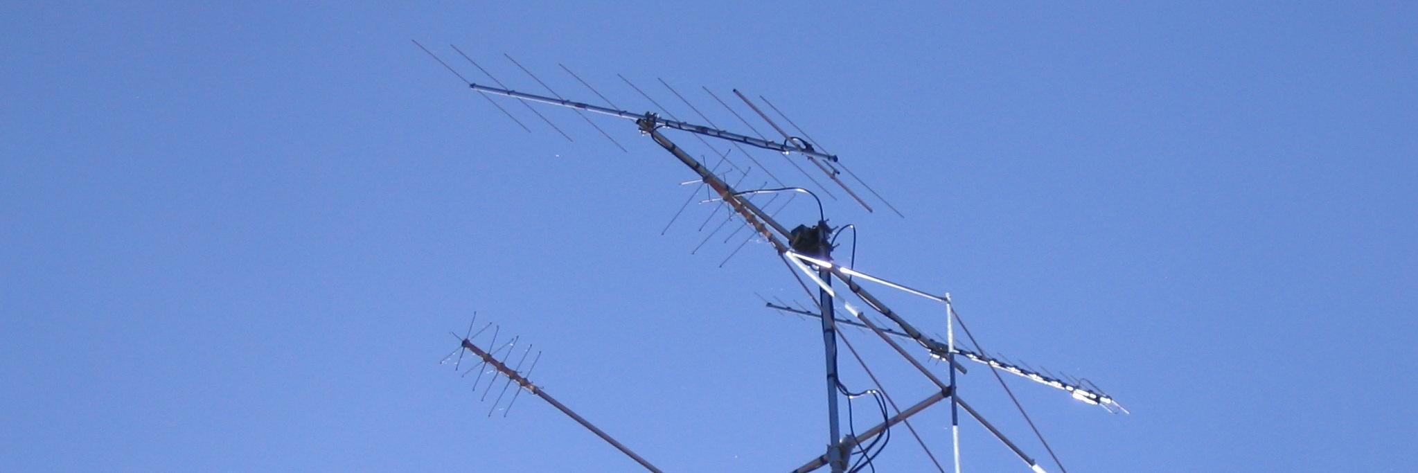
A52EA Leo OP.
Hi. All. Today I tried RS-44. I worked A65BR, R9LR,, BH6RJD, BD1BGB, BG7WJH and VU2AAP.I was ther until LOS but sadly no JA. Mountains are two high. I am very sorry for the JA folks. VY sorry. Videoshows the path south to north, you can see the Himalayas at LOS. 73
Spain’s global trade empire in 1650
By 1650, Spain was not simply an empire with overseas colonies. It was the center of a tightly controlled mercantilist system designed to pull wealth inward. This map shows how Spanish power depended less on raw territory and more on controlling trade routes, shipping lanes, and the movement of valuable goods across oceans.
At the heart of the system was American silver. Mines in Mexico and the Andes fed an imperial network that stretched across the Atlantic and, via the Manila galleons, across the Pacific. Silver moved through Spain but did not stop there. It flowed onward into global trade, especially toward Asian markets producing goods Europe could not supply itself.
The structure was deliberately restrictive. Trade was funneled through specific ports, colonial economies were shaped around extraction, and shipping was tightly regulated in an effort to maintain monopoly control. In reality, smuggling, piracy, and rival empires constantly undercut these ambitions, exposing the limits of imperial management.
This map captures the Spanish Empire near its mercantilist peak, when global reach and economic control briefly aligned. It also hints at the tensions within the system, where immense wealth moved through networks that Spain ultimately struggled to dominate.
Map source: Eric Ross, 2015. Mapping the mercantilist world economy. https://t.co/5y9qNXGvS1