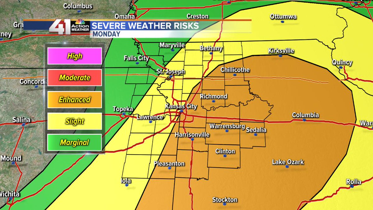
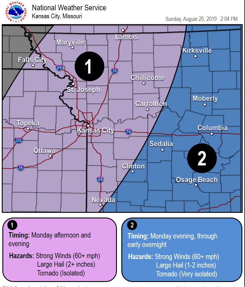
Severe weather chances are increasing for Monday. There is still plenty of uncertainty regarding timing and spatial extent, so more information will be available along the way.
In the meantime, start thinking about ways to receive weather warnings and actions you should take.
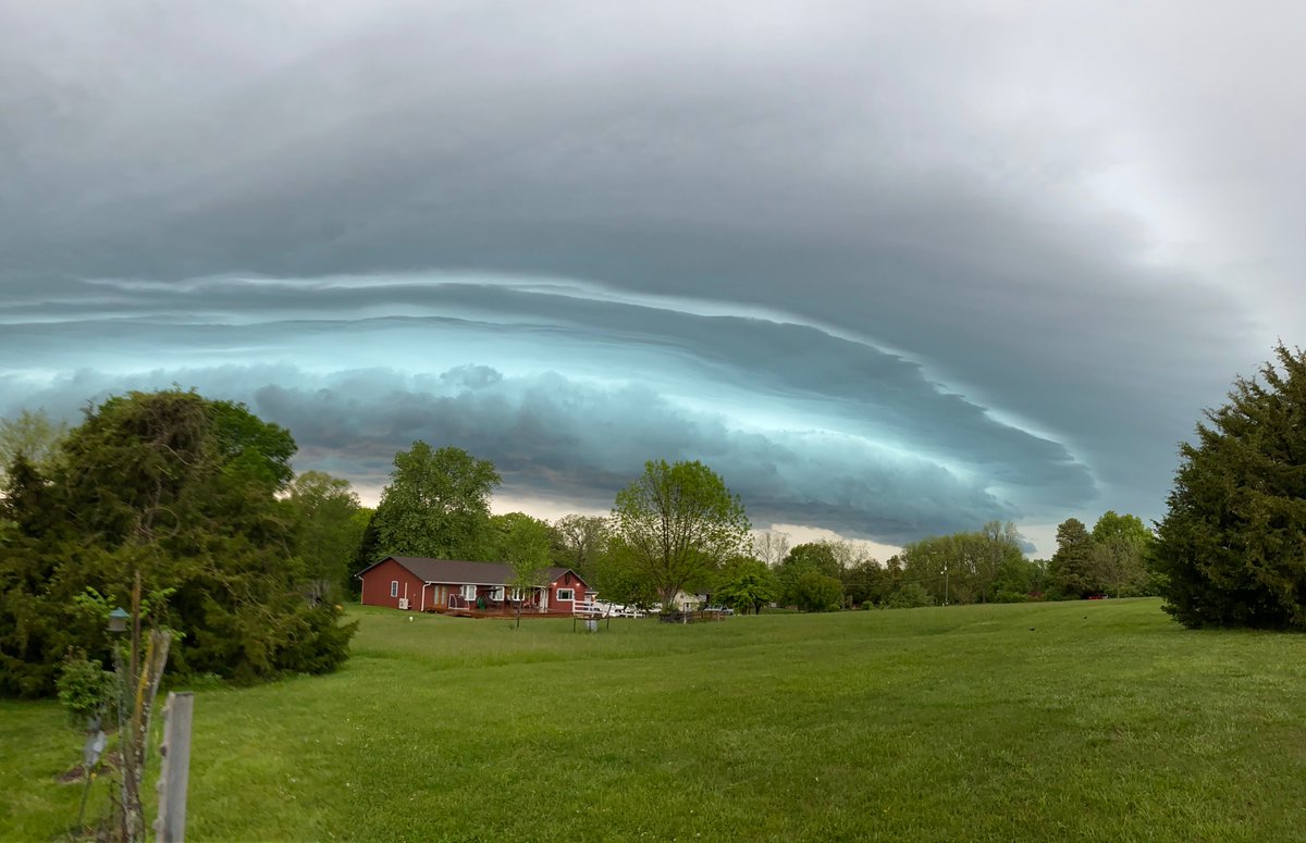
We will have a chance for severe thunderstorms Monday afternoon-evening. Large hail & damaging winds possible as storms will develop & quickly move East/South East. Cooler air will move in behind & lows will drop to the 50s by Tuesday morning. #MOWX#KSWX
10:20 PM UPDATE...Heads up anyone in DOUGLAS COUNTY: Strong thunderstorms are expected to be in the area for the next 1-2 hours. Gusty winds, small hail, frequent lightning and heavy rainfall all expected. #kswx
The rainfall numbers over the past few months are incredibly impressive. Here are the rankings on the 131-year record for KC:
Water Year : 36.53" - Rank 1st
Calendar Year: 21.14" - Rank 2nd
Spring(Mar-May): 17.21" Rank 5th
May: 9.70 - Rank 10th (7 days 2 go)
Looking at more rain around 10pm -midnight. If you're out and about be really careful driving. Strong winds on the front of the storms followed by heavy rain. #kswx EM5 5/25/19 8:35pm
Warning includes Baldwin City and Vinland for 60 mph winds & .75 in hail thru 7:30PM. A Tornado Watch remains in effect until 10PM.
Flash Flood Warning thru 10:30PM.
5/24 @ 6:36PM
No warning for DgCo just yet, but now is the time to determine your best shelter as there are no designated shelters in Lawrence or DgCo. #lowestlevel#interiorroom#planahead#beready 5/24 @ 5:47PM
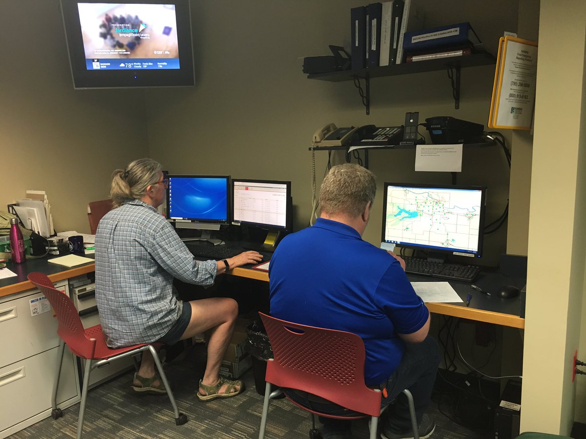
Staff is back monitoring storms. No warnings at this time for DgCo but a tornado warning has been issued to our south west. Stay alert and ready to take shelter if needed. 5/24 @ 5:30pm
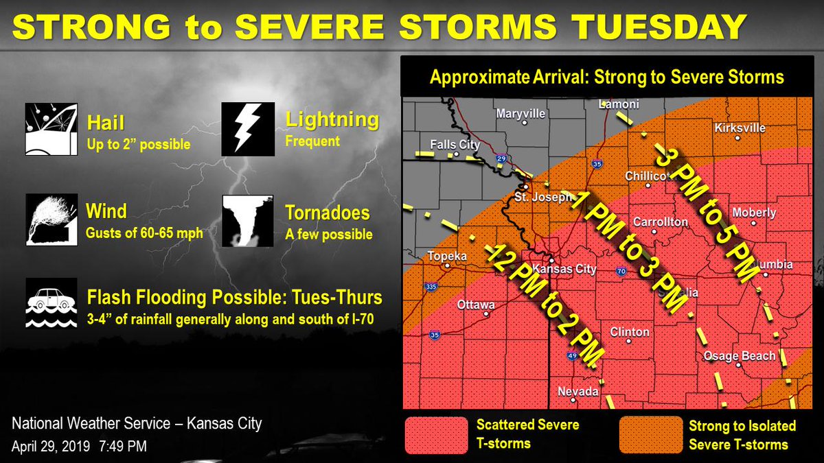
Non-svr storms tonight-Tues AM before chance for svr storms Tues PM. Svr threat may be impacted by AM storms. Flash Flood Watch 1AM Tues-7PM Wed.
Thank you for remaining alert & ready if svr wx impacts your area. 4/29 5:32PM #kswx#planahead
Strong to severe storms expected to begin moving into the area by late morning and/or early afternoon with the severe threat working east with time. There could be some t-storm activity during the morning, but greatest threat will be focused on the afternoon hours.