Health Professional Shortage Areas are now in ArcGIS Living Atlas. Access Primary Care, Dental Health, and Mental Health HPSA layers for smarter policy mapping. Included:
🔸Simple symbology
🔸Clear pop-ups
🔸Built-in metadata + monthly updates
Details: https://t.co/oYCW3jGlzP
Discover the world - one line at a time. 🖍️
“Color Me Mappy” is the perfect coloring book for cartographers, map lovers, travel enthusiasts, and anyone who enjoys a little screen-free creativity.
Don’t worry, get mappy. 😁🗺️ https://t.co/mHnj2kl7qj
How do you manage a museum campus at scale? The Henry Ford uses 3D GIS with ArcGIS Indoors to improve operations, safety, and visitor experience. Explore the story: https://t.co/upbrFm6MnZ
Discover Dominica! 🏝️
This Eastern Caribbean island has it all. Rugged terrain, lush forests, and incredible biodiversity, beautifully shown in this map. Learn more: https://t.co/nNC7UOLfLF
🗺️ Melinda Felicia Lowe, Western Illinois University
Ready for some inspiration? ✨
Hear from visionary leaders, watch live demos, and experience GIS in action through real-world stories of teams delivering meaningful results.
🔹Learn more: https://t.co/sUZJBR4Z11
#EsriUC2026
🎨Alternative text. Color contrast. Headings and repeatable structure.
Little choices have big impacts on a story's #accessibility. Learn the basics in this NEW tutorial series—Foundations of accessible storytelling with #maps. https://t.co/QUeuQhS2Vo
#GAAD#StoryMaps
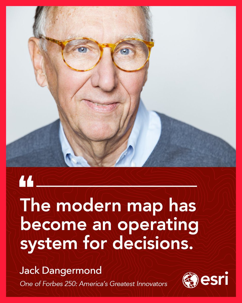
From the @america250 x Forbes America Innovates stage, Jack Dangermond, president of Esri, the mapping software company behind modern digital maps, and a Forbes 250 America’s Greatest Living Innovators honoree, spoke on AI and building a “nervous system for the planet.
⠀
#Forbes250 #America250
Ocean currents are vital to life on Earth, regulating climate and transporting nutrients and organisms. This animated map from @NASA’s Scientific Visualization Studio (SVS) highlights ocean currents at different depths. 🌊 https://t.co/NPEUA5ZNEs
The #GISDay2026 theme is here! Celebrate 𝐆𝐈𝐒: 𝐏𝐨𝐰𝐞𝐫𝐢𝐧𝐠 𝐏𝐮𝐫𝐩𝐨𝐬𝐞 𝐚𝐧𝐝 𝐈𝐧𝐧𝐨𝐯𝐚𝐭𝐢𝐨𝐧 on November 18. 🌎😍
Start planning your event with our media kit! There are stickers, social graphics, and videos to help you get started. https://t.co/rQTC0wmY6b
Global Wet Bulb Globe Temperature Baseline combines temp, humidity, wind, sun angle, and clouds to provide a 30‑year view of global heat stress, supporting safer outdoor work, heat risk planning, and nighttime cooling trends. Explore the dataset: https://t.co/iKLgZUBv6c
Coming soon! 📘 Learn ArcGIS basics, how to create and edit spatial data, the advantages of geocoding, and more in 𝘎𝘦𝘵𝘵𝘪𝘯𝘨 𝘵𝘰 𝘒𝘯𝘰𝘸 𝘈𝘳𝘤𝘎𝘐𝘚 𝘗𝘳𝘰 3.6. https://t.co/fp4xWZoshC
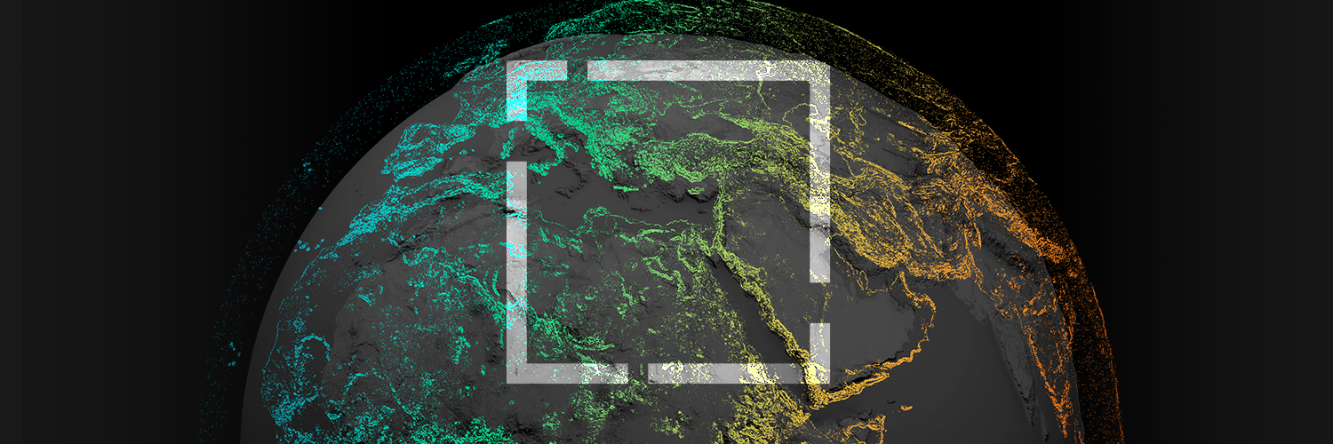
Maps used to show us where things were. Now, they help us understand what’s happening and where to act.
In @Forbes, Jack Dangermond explores how modern maps are becoming dynamic, AI-enabled systems for decision-making across industries. https://t.co/WeQVN5kH2L
City to countrywide, mapped in jaw-dropping detail. 🗺️🤯
See how drone imagery and ArcGIS Reality Studio are redefining large area reality mapping with stunning 2D and 3D results. https://t.co/Isgdlc23Ih
Discover the beauty of geography and maps with this 2027 wall calendar! 💚🌏 Each month features a beautiful map, fun facts, and more. https://t.co/Pwms3P6XxD
How can a carefully constructed map strengthen your story? 🗺️
See how configured popups, simple legends, and symbols transform sample stories - then apply those techniques to your own projects. https://t.co/ayAZkSNnxx
#StoryMaps#GIS
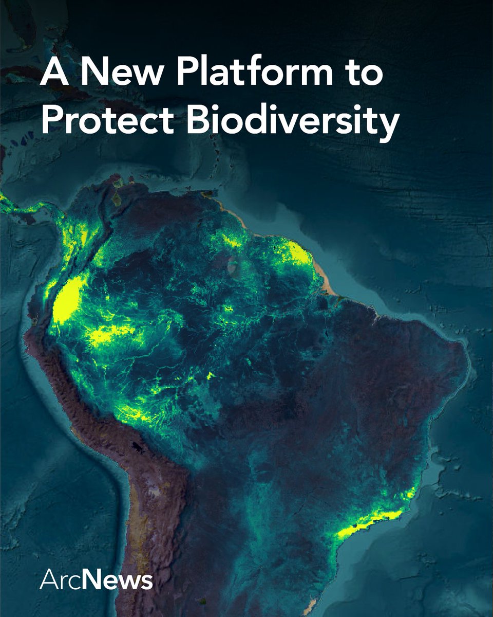
How do you monitor biodiversity at a national scale? Built on ArcGIS, the National Biodiversity Information System helps governments track species, monitor habitat change, and meet global conservation commitments. Guyana is helping lead this approach: https://t.co/rdL5UbMmAl
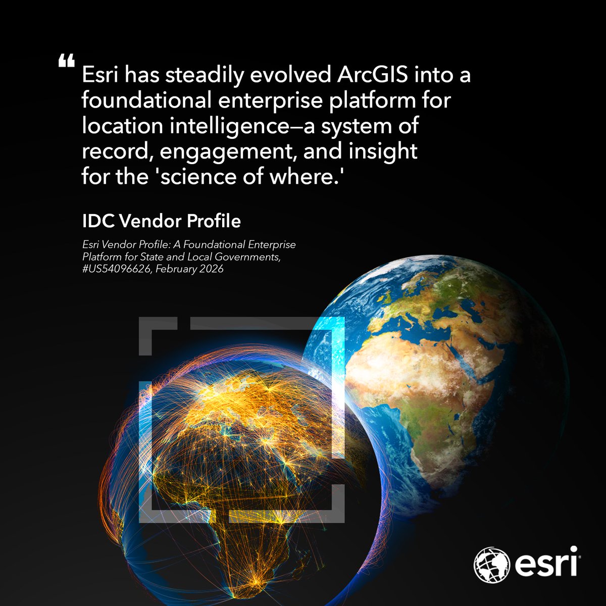
@IDC has recognized ArcGIS as “A Foundational Enterprise Platform for State and Local Governments”. This recognition reinforces our commitment to empowering communities with location intelligence, innovation, & collaboration to address today’s challenges. https://t.co/QxDSzwNowX
Version 5.0 of ArcGIS Maps SDK for JavaScript is here! 🙌
Build AI applications with AI components (beta), draw & edit curves with curve tools, create realistic nighttime 3D scenes with light emitting symbols, code faster with new web components & more! https://t.co/6JWP4qERDo