My article on the value of remote survey for understanding the impact of military presence on cultural heritage in Afghanistan is fresh off the @JofConflictArch press! https://t.co/fi0VSHDet4
Terrific as usual from @melucene - how satellite imagery helps us better understand caravanserai and transport networks in early modern Afghanistan https://t.co/gyS4zETpCE
Here’s a piece from @EmilyBoak about the use of remote surveying in Afghanistan as a means of assessing the impact of conflict on cultural sites: https://t.co/tr1NDu9maC
My article on the value of remote survey for understanding the impact of military presence on cultural heritage in Afghanistan is fresh off the @JofConflictArch press! https://t.co/fi0VSHDet4
In this piece I ask, as students of Afghanistan, what has been neglected in the study of the country, why has it been neglected, and how can we create other ways of knowing and being? 'A Critique of Knowledge Production about Afghanistan' https://t.co/mJIcmgvKIz
America’s longest war has turned Afghanistan into an unwilling testing ground for warfare technology. Here’s what it’s like on the ground as a civilian. https://t.co/kejL4hKCHo
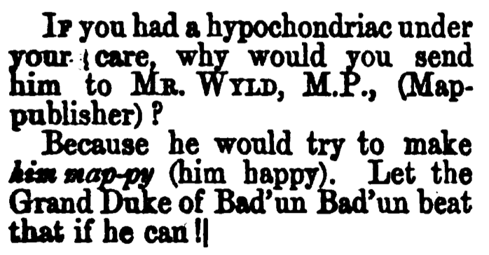
in the midst of reading up on James Wyld, geographer to the queen, (1812-1887), and delighting in these extra strange jokes peppered through Punch magazine. #staymappy
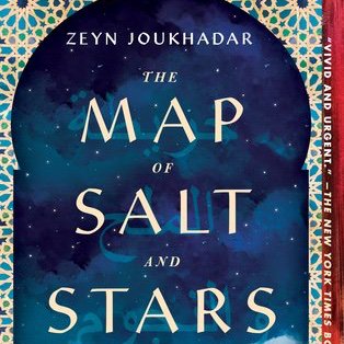
finished #themapofsaltandstars by @ZeynJoukhadar months ago and still thinking about the achingly beautiful way they weave together a child's perspective of the refugee crisis in Syria with tales of traveling mapmakers and explorers among caravanserais and khans
"Maps are mentioned on almost every page: not just making them but the decisions that making them involves, what lands they cover and what lands they leave out."
https://t.co/EeWauSuHA4
from #satellites to #simulations, looking forward to talking all things #visualization in our session “Seeing through New Eyes: Science, Truth and Technologies of Visualization” at #4S2019 conference this Saturday