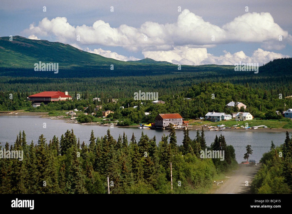
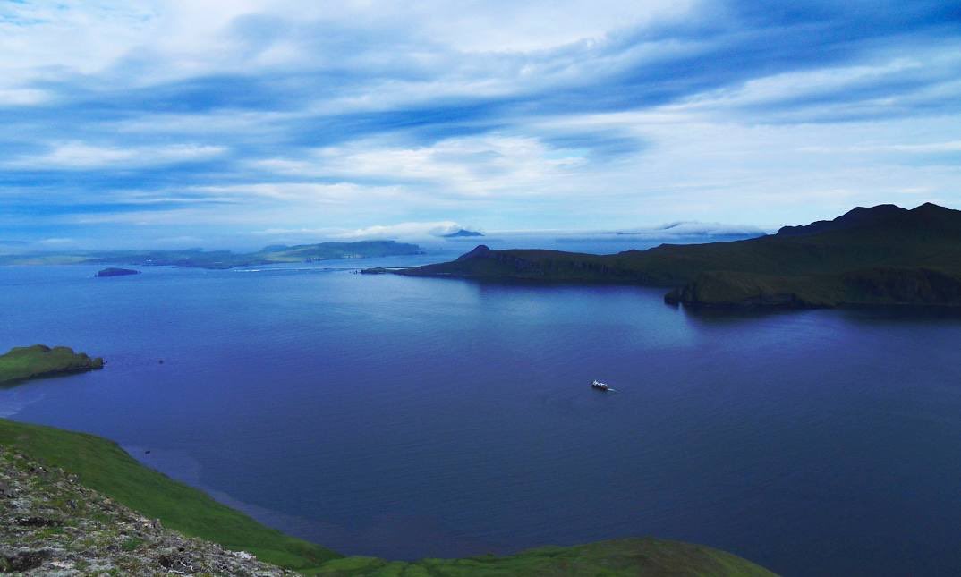
Posting every town and giving information about them. Follow for educational content. Current state: Alaska . DM to recommend a town. In alphabetical order.
Established in 1914 as a company town for the Alaska Railroad, initially a tent city that was incorporated as a city in 1920. Its history is marked by growth as a transportation hub, first as a major airport after World War II, and later becoming a key defense center with the addition of military bases. The discovery of oil at Prudhoe Bay in 1968 spurred significant population and economic growth in the 1970s and 80s, a period which also saw the city rebuild after the devastating 1964 Good Friday Earthquake. The city is Alaska's largest city and serves as its main commercial center, located between the Chugach Mountains and Cook Inlet.
In the summer of 1778 Captain James Cook and crews of the Resolution and Discovery sailed into the Inlet looking for a Northwest Passage, and gave Anchor Point its name after losing a kedge anchor to the awesome tidal currents. A post office was established in 1949. The area has been inhabited by the Dena'ina people and, like the rest of Alaska, has been influenced by periods of homesteading and the gold rushes of the late 1800s. Also known for exceptional sport fishing, especially for halibut and salmon, as well as being North America's most westerly point accessible by highway.
Anaktuvuk Pass was founded by the Nunamiut people in 1949, who moved to the headwaters of the John River to establish a permanent settlement. This move marked a shift from a nomadic, subsistence lifestyle to a more permanent, settled village, partly driven by the desire for a school and regular air contact. The village was later incorporated as a city in 1959.
Ambler was permanently settled in 1958 when people from Shungnak and Kobuk moved down stream because of the variety of fish, wild game and spruce trees in the area. An archaeological site is located nearby at Onion Portage. A post office was established in 1963.
Wood River and Aleknagik Lake have been used historically as summer fish camps. Aleknagik means "Wrong Way Home," because Natives returning to their homes along the Nushagak River would sometimes become lost in the fog and find themselves swept up the Wood River with the tide, inadvertently arriving at Aleknagik Lake. The 1929 U.S. Census found 55 people living in the "Wood River village" area to the south. During 1930, their were five families living on the shores of the lake year-round, the Waskeys. Polleys, Hansons, Yakos, and Smiths. A log cabin territorial school was built on the south shore of the lake in 1933, and Josie Waskey was the first teacher. Attracted by the school, other facilities, and plentiful fish, game and timber, a number of families from Goodnews, Togiak, and Kulukak area relocated to Aleknagik. A post office was established in 1937. A two-story framed school with a teacher apartment was constructed in 1938. By 1939, Aleknagik had 78 residents, over 30 buildings, and a small sawmill. In the late 1940s, a Seventh-Day Adventist Mission and School was established on the north shore. During the 1950s, a Moravian Church and a Russian Orthodox Church were built in Aleknagik and over 35 families lived along the lake. In 1959, the state constructed a 25-mile road connecting the south shore to Dillingham. The road was passable only during the summer months, until the late 1980s, when it was upgraded and maintained year-round. The City was incorporated in 1973.
The town was founded in the 1820s by Green Berry Hill, who came from South Carolina. He established the Tabernacle Methodist Church in the community, which was named in his honor. The area was historically an industrial center, home to the Baugh-Kennedy and Company woolen factory which made Confederate uniforms, and was a center for gunsmithing. Located near the city of Killen. It is the hometown of musicians Jason Isbell and The Secret Sisters.
Alakanuk is a Yup'ik word meaning "wrong way," aptly applied to a village on this maze of watercourses. The village was first reported by G.R. Putnam of the U.S. Coast & Geodetic Survey in 1899. It was originally settled by a Yup'ik shaman named Anguksuar and his family. A Catholic mission school was built near the village. A post office was established in 1946. In 1948, the school was relocated to St. Mary's, and many families moved from the old school site to Alakanuk. It incorporated as a second-class city in 1969.
Akutan began in 1878 as a fur storage and trading port for the Western Fur & Trading Company. The company’s agent established a commercial cod fishing and processing business that quickly attracted nearby Unangan to the community. A Russian Orthodox church and a school were built in 1878. Alexander Nevsky Chapel was built in 1918 to replace the original structure. The Pacific Whaling Company built a whale processing station across the bay from Akutan in 1912. It was the only whaling station in the Aleutians, and operated until 1939. After the Japanese attacked Unalaska in June 1942, the U.S. government evacuated Akutan residents to the Ketchikan area. The village was re-established in 1944, although many villagers chose not to return. This exposure to the outside world brought many changes to the traditional lifestyle and attitudes of the community. The City was incorporated in 1979.
The town includes its origins as part of Cherokee lands, followed by growth and development in the late 1800s and early 1900s due to a rail line built from Fayetteville, Tennessee. The area has been undergoing preservation of its history, particularly its Black history, through local efforts to archive and share stories and artifacts. Harvest was part of the Cherokee lands until about 1810. It had been a settled community for many thousands of years prior to this. Many families who formed the older settlement population are part Cherokee Indian. Later, a railroad was extended south from Fayetteville, Tennessee to the community of Capshaw 5 miles (8 km) southwest of present day Harvest. This railroad went bankrupt in the economic troubles that lead to the[Great Depression of the 1930s. Today, Old Railroad Bed Road runs along the old track bed.