High temperatures throughout Northern and Central Nevada Saturday afternoon will be around five degrees warmer than this afternoon. Maximum temperatures across Northern and Central Nevada Sunday afternoon will be near normal for this time of year. #NVwx
Low temperatures throughout Northern and Central Nevada tonight will be two to four degrees below normal for this time of year. Minimum apparent temperatures in the coldest valleys of Northern and Central Nevada tonight will be in the teens. #NVwx
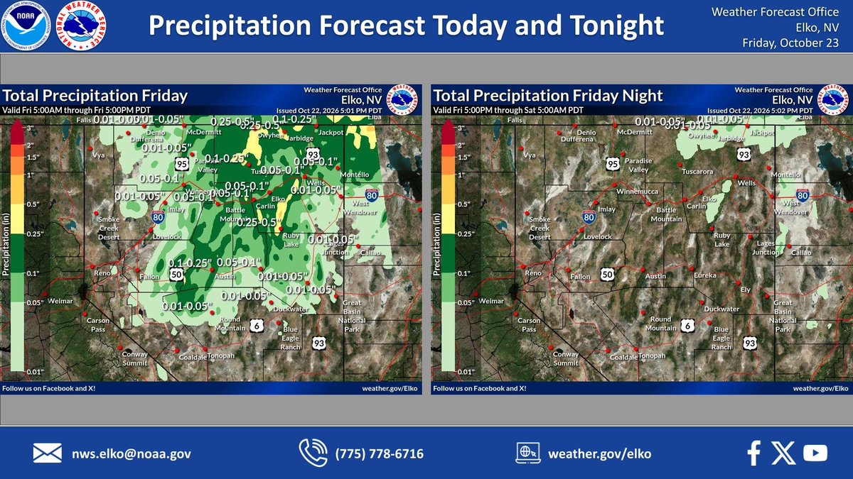
Here are the latest precipitation forecasts for today and tonight. Thunderstorms are not expected today and showers will dissipate from northwest to southeast throughout the day as the upper level system exits Nevada to the east. #nvwx
Here are the high and low temperature forecasts for select locations across central Nevada through this weekend! Temperatures will be much cooler today and tonight across central Nevada as a colder air mass moves in from the northwest behind the outgoing weather system. #nvwx
Here are the latest precipitation forecasts for tonight, as well as Friday through Friday night. The majority of new precip accumulation will occur tonight and into early Friday morning. Showers and thunderstorms expected to continue until Friday evening #nvwx
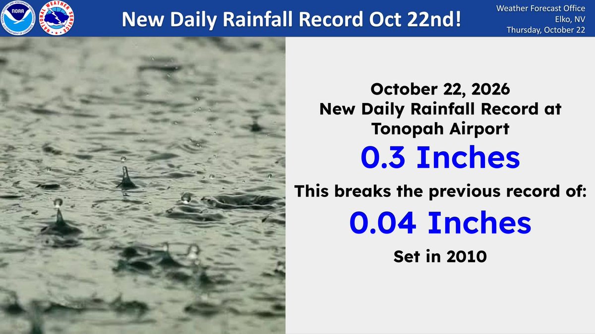
A daily rainfall record was broken at Tonopah, Nevada today, October 22nd with 0.3 inches of rain recorded. This breaks the old record of 0.04 inches set in 2010. #nvwx
There is a marginal risk (at least 5%) of excessive rainfall leading to flash flooding for the entire forecast area today and tonight. Any flooding would primarily impact low-lying or poor drainage locations. #nvwx
A colder air mass will begin to move into Nevada from the northwest late tonight and thru Friday morning. Snow levels across northern Nevada will lower to between 6,000 and 7,000 feet. #nvwx
A marginal risk (at least 5%) of excessive rainfall leading to flash flooding becomes more widespread Thursday and Thursday night, encompassing much of the forecast area as an upper level weather system moves into the Great Basin from the west. #nvwx
Thunderstorms will again be present today and tonight with coverage across the entire forecast area. A few of these thunderstorms could be strong. The primary thunderstorm hazards will be wind gusts around 45 mph and dangerous cloud to ground lightning. #nvwx
Here are the latest precipitation forecasts for today through tonight, as well as Thursday through Thursday night. The majority of new precip accumulation will occur Thursday as an upper level system moves into the Great Basin from the west. #nvwx