The scientist, who classified millions of points from one of the largest #pointcloud test datasets in the world. @szabilorincz from @fgi_nls & @AaltoUniversity talks about classification of #MultiSpectral#LIDAR pointclouds. Szabi's full interview video👉 https://t.co/y00jkMaDmG
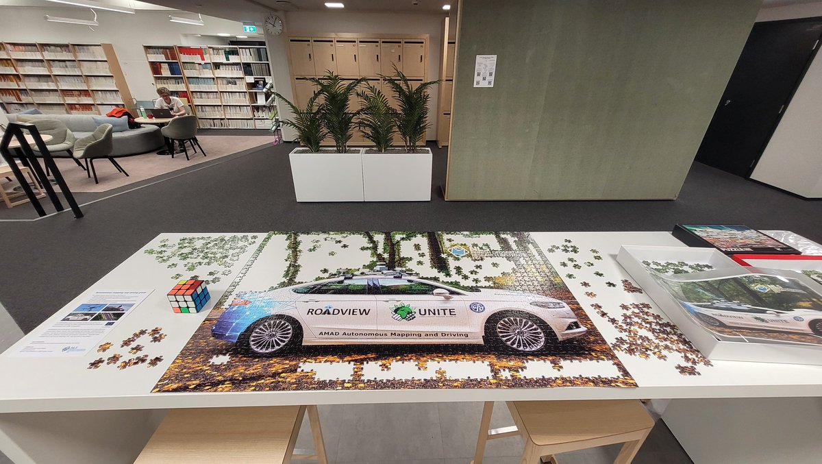
Our scientists spend their working hours trying to piece together software, algorithms, data management and sensors for safe #autonomousdriving in any conditions with our mobile research platform ARVO. On their breaks they piece together ARVO in a puzzle form! @ROADVIEW_EU
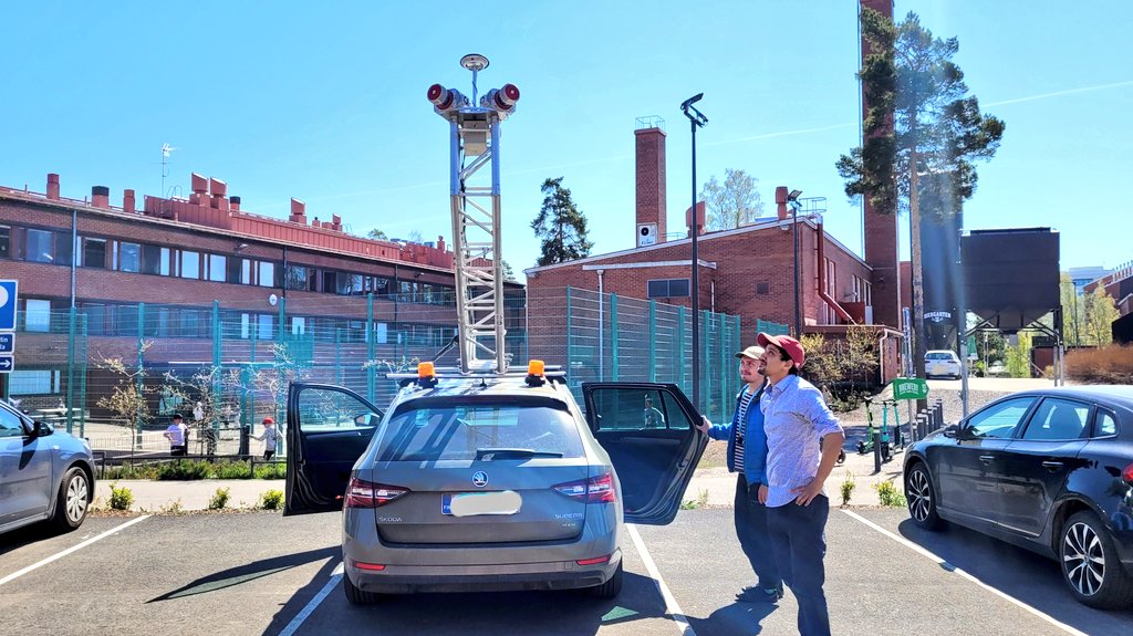
Summer trainees have arrived in the early May! They are getting to know our mobile #laserscanning equipment in the field. Trainees work together with our experienced research staff and participate and contribute to our projects based on their interest and field of education.
Do you know what makes #autonomousdriving possible? Millions and millions of data points. We are currently working on #HDmap compression and some exciting new #OpenScience code and datasets were just published! Get them here and read the publication at https://t.co/csJo2GFPvb
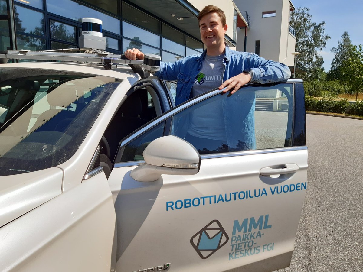
Joko luit tämän? Kirkkonummella on tutkimusasema, jonka avulla Suomesta saadaan #paikkatietoa jopa millimetrien tarkkuudella. Laitteisto tuottaa tietoa, joka mahdollistaa niin robottiautot kuin esimerkiksi ilmastonmuutoksen vaikutusten tarkan arvioinnin.
https://t.co/89I8xi89CY
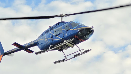
When the rest of Finland is on holidays, the summer trainees and students take over the research institutes! Matias from @AaltoUniversity is working at the @fgi_nls this summer, in a team developing a rotating #laserscanner system for a #robot boat. https://t.co/1alnRKh4S7
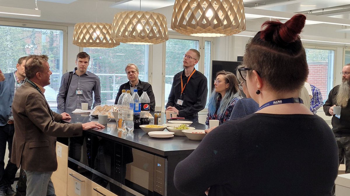
Our research group leaders gathered together in our new Otaniemi premises this morning, to discuss how we continue doing excellent science. Feels like starting a whole new chapter in the story of the FGI! #geospatial#research@Maanmittaus
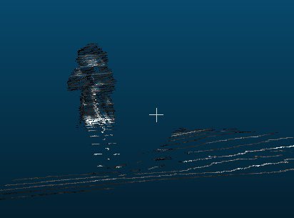
We have a #laserscanning sensor for doing mobile mapping research underwater. Read what kind of plans our research professors @HarriKaartinen & @KukkoAntero have for it! 👉https://t.co/vxh9mttkpY
Nyt pystymme kartoittamaan myös veden alla. Uusi laserkeilaimemme on eduksi niin vesistöjen kuin metsienkin tutkimuksessa mm. @fgi_nls , ja yhteistyö hyödyttää myös yrityksiä ja innovaatioita.
https://t.co/dapkJApyHG
#laserkeilaus
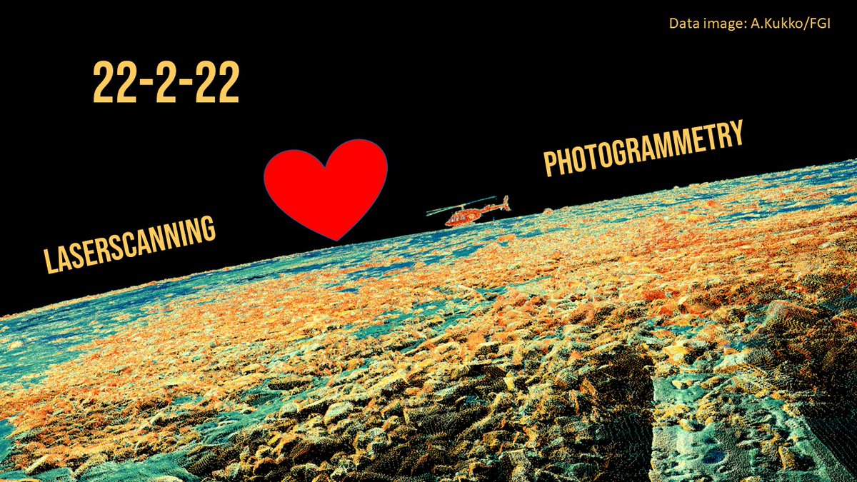
Two is a happy number and since today is 22-2-22, we celebrate the union of our research team's two main fields of expertise, #laserscanning and #photogrammetry! 1+1 = impactful science and innovations for the benefit of the society, at @fgi_nls@Maanmittaus!
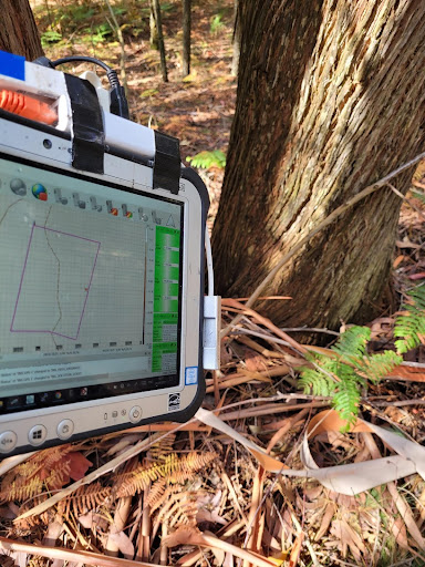
Are you familiar with the Finnish idiom "cannot see the forest because the trees are on the way"? Read more about how #AI can recognize and cluster together different #lidar#laserscanning data points in a #forest environment. New publication from our #autonomous#mapping group!
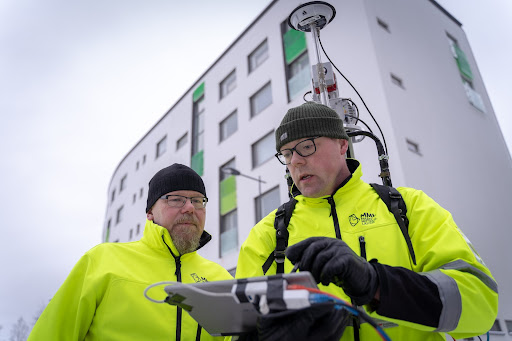
Research professors Antero Kukko and Harri Kaartinen are the FGI’s dynamic duo of #laserscanning and top research. Read more about their recent work, innovative methods and experiences around the world.
https://t.co/dO3miqlrrv
Potholes, alligator cracks.. Finnish winter is harsh on our #road s! Our @fgi_nls scientists tested #laserscanning and algorithms for detection of various road faults. Results are promising, work continues combining the best methods and trying to automatize such detection process
How to detect distresses, such as cracks and potholes, on road surfaces using terrestrial laser scanning? Algorithm comparison and crack area and volume estimation included in our new article: https://t.co/uJGBq1sbQX @UNITEflagship@pointcloudfi@fgi_nls
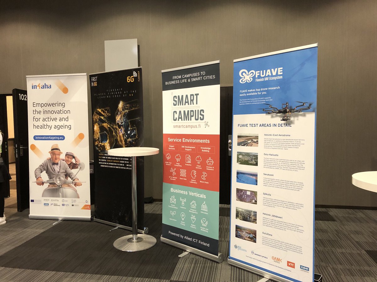
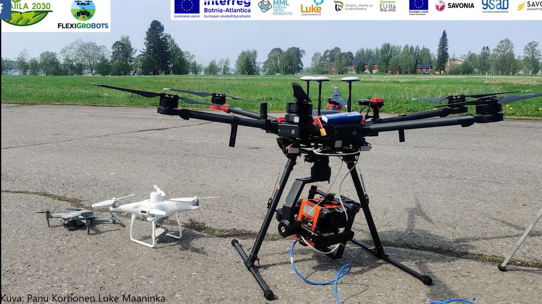
Vielä ehtii ilmoittautua huomiseen webinaariin: 30.11. klo 10-12: Maatila ilmasta käsin - dronet ja satelliitit tuotannon tueksi. Asiantuntijoita: @LukeFinland@fgi_nls@dronefinland. #Maatila2030 Lisätiedot: https://t.co/ft22so7xXA
Excellent, internationally recognized science has been made in Finland for years, in #laserscanning & #drone#remotesensing. Our strong cooperation and good partnerships make a great recipe for success. Fantastic to see that the research of @SuomenAkatemia supports this!
Are you interested in #AI development in geospatial field? Welcome to AI and #GIS production in National Land Survey of Finland -winter seminar 1.12.2021. Registration is open until 28.11. https://t.co/OnM0Iv9ewd
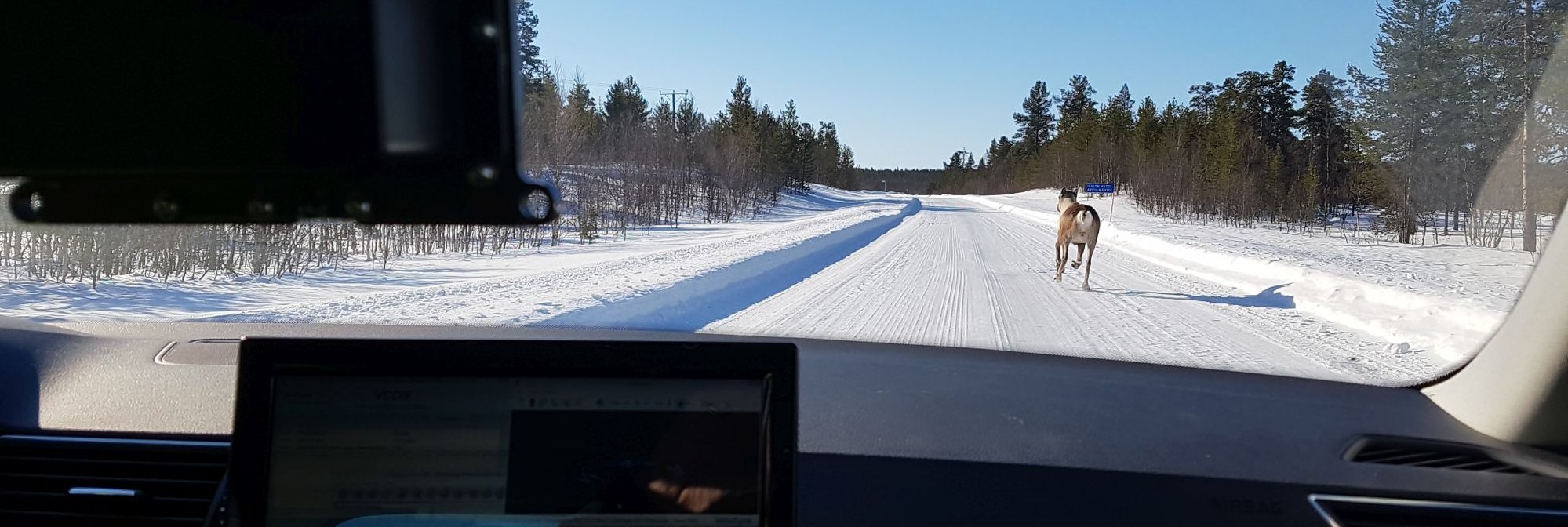
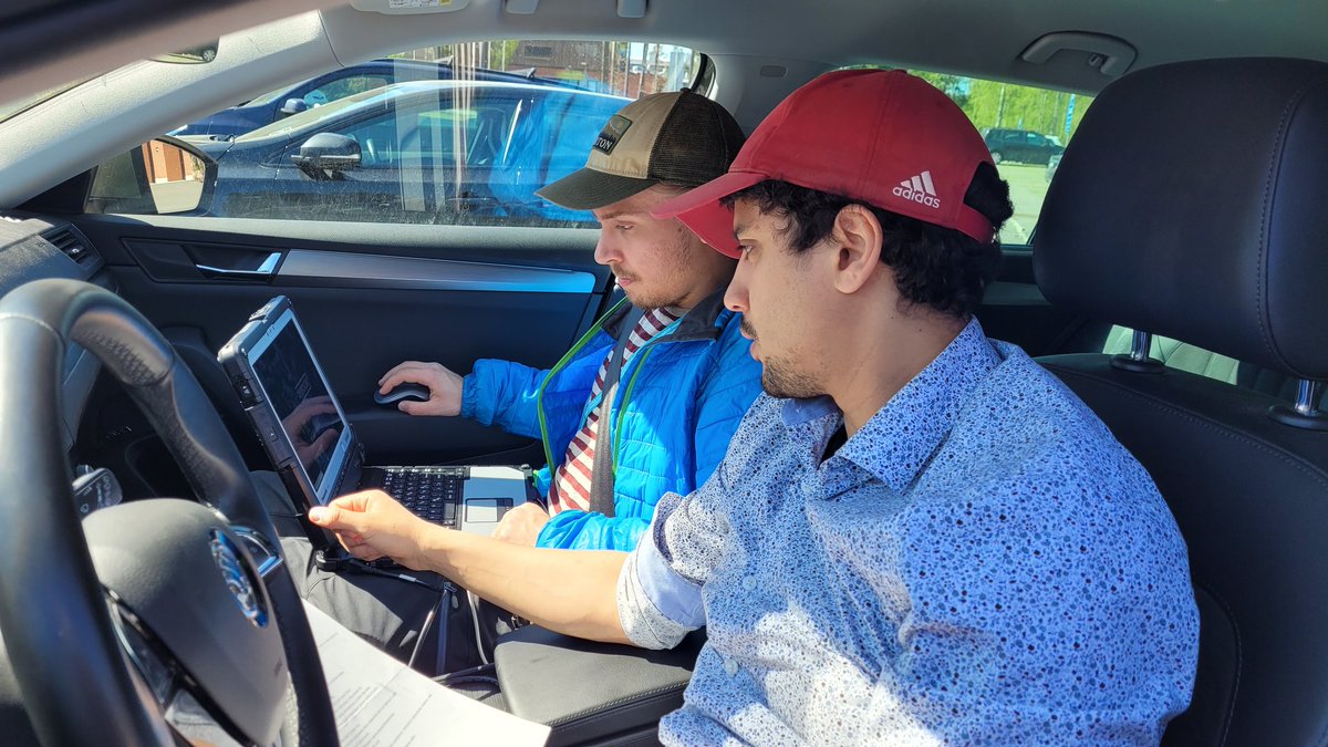
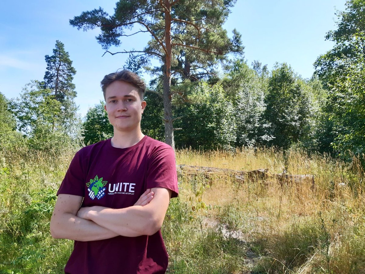
Autonomous road mapping and enabling smart gathering of forest data. Here’s some examples of what our summer interns of @UNITEflagship project worked on. https://t.co/RXPyxCcWVM
How do we find promising young researchers, and how do young people find a suitable career and employer? Here’s some experiences from our summer interns and rectruiters of @UNITEflagship project.
https://t.co/RXPyxCuykm