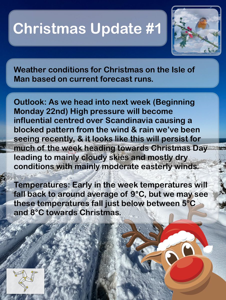
#Christmas weather update for the #Isleofman #2🎄 🇮🇲 ❄️ 🎅 🦌
•A blocked pattern is likely to occur leading to much drier conditions compared to recently next week
•Temperatures around average, then falling just below during the week.(Dec avg: 9°C)
•Large amounts of cloud.
Occasional rain, heavy at times still this evening is on the move and will clear away eastwards shortly over the next hour or two. 🌧️ ⬇️
#Isleofman#iom#weather
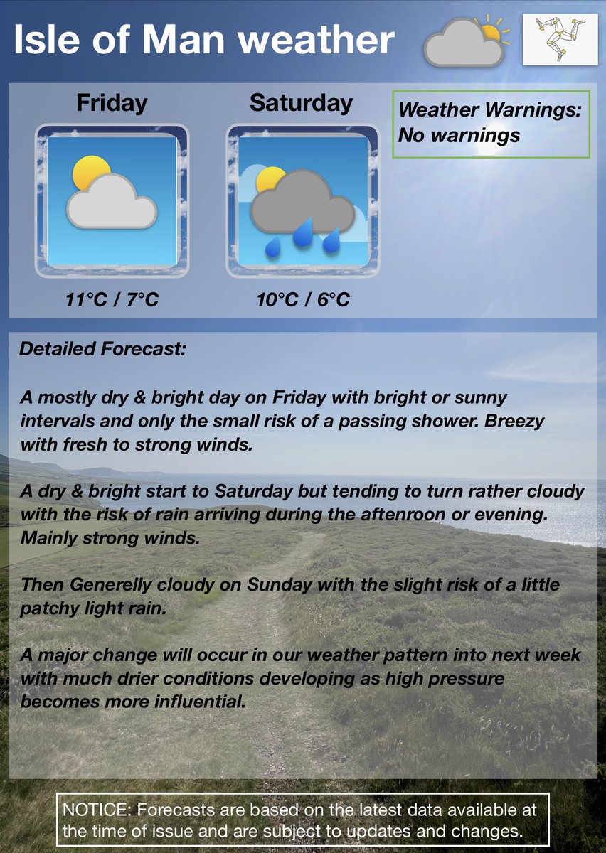
Weather update: Thursday evening
Headline: Mainly dry & bright on Friday, then there’s a risk of rain developing Saturday afternoon or evening. Conditions generelly cloudy on Sunday.
#Christmas weather update for the #Isleofman 🎄 🇮🇲 ❄️ 🎅 🦌
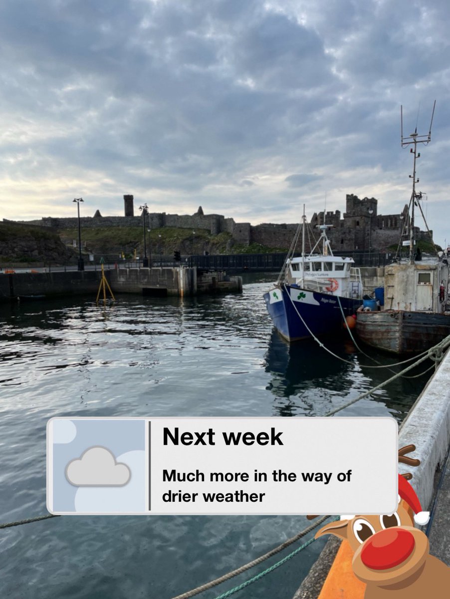
•A blocked pattern is likely to occur leading to much drier conditions compared to recently next week.
**originally wrote on Tuesday
The weather on the Isle of Man will become much more quieter next week as high pressure becomes more influential bringing a significant reduction in the number of spells of wind & rain. ☁️ 🇮🇲
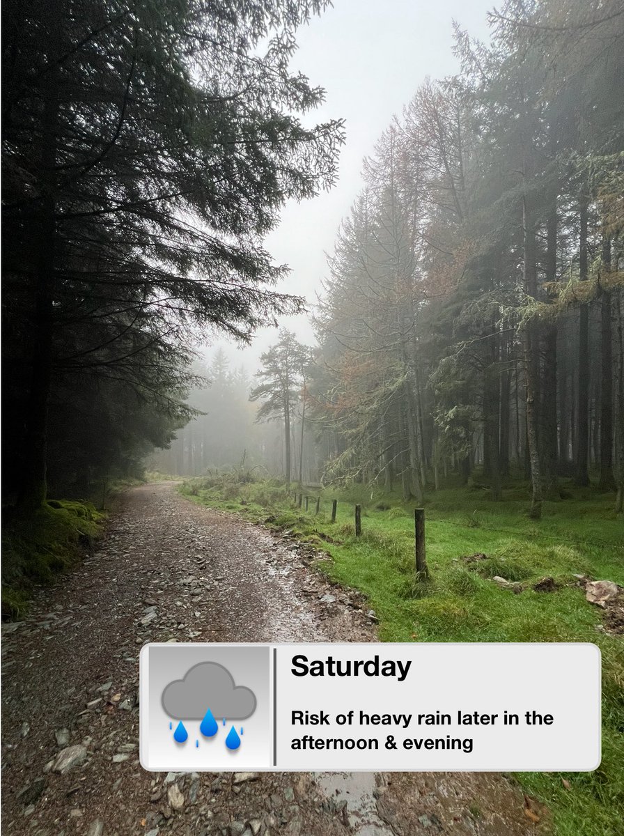
It’ll be a fairly wet day on Saturday with rain at times, which is likely to turn heavier later in the afternoon & evening before clearing away overnight. 🌧️ 🇮🇲
Fine, sunny and feeling hot with light winds on Saturday with maximum air temperatures of 27°C in places. Very warm or hot again on Sunday, before rain or showers develop overnight into mondsy as it turns fresher. ☀️ 🇮🇲
@Katinesss I’ve seen loads of fake things today too 😂 but this definitely as these conditions look as if they could persist well into next week too with high pressure near by.
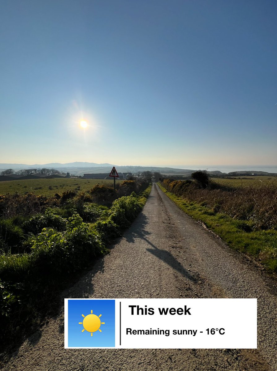
It’ll remain fine, dry and sunny for the remainder of the week with highest temperature expected pressure in charge of our weather ☀️ 🇮🇲
Maximum temperatures are likely on Thursday and Friday of about 16°C at best.
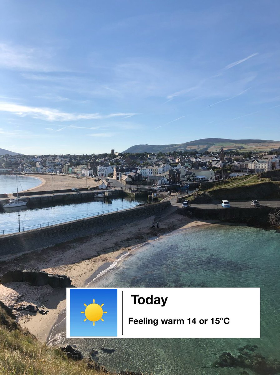
It’ll be a fine day today with plenty of hazy sunny spells and maximum air temperatures of 14 or 15°C making it feel rather warm ☀️ 🇮🇲
It’ll then turn cooler early next week 📉
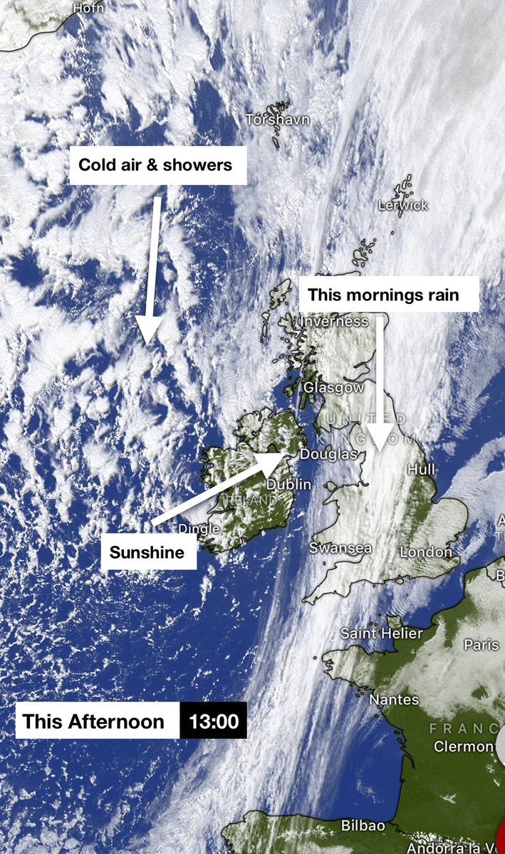
Here’s the latest satellite image of the British Isles showing this mornings rain which was heavy at times and the sunny intervals developing behind the rain that’s clearing eastwards🌧️🛰️
Cooler air and showers can see seen moving into the northwest of the British Isles too. 🌧️
Here’s the latest satellite image of the British Isles showing this mornings rain which was heavy at times and the sunny intervals developing behind the rain that’s clearing eastwards🌧️🛰️
Cooler air and showers can see seen moving into the northwest of the British Isles too. 🌧️
It’ll be a fine winters day here on the Isle of Man with plenty of sunny spells and light breezes. Highest temperature reaching 9°C at best. ☀️
It’ll turn chilly at first this evening with a frost on the ground before temperatures recover overnight. ❄️
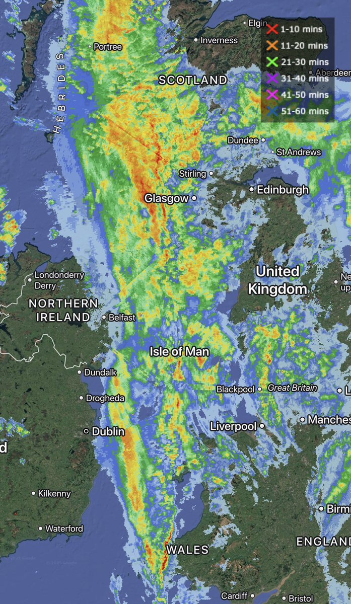
#StormÉowyn is proving to be a powerful system
Satellite imagery suggests a sting jet developed early this morning
This brought a 114 mph gust at Mace Head - provisionally the strongest gust ever recorded in Ireland
Learn more about sting jets here 👉 https://t.co/UYBI6l5unx
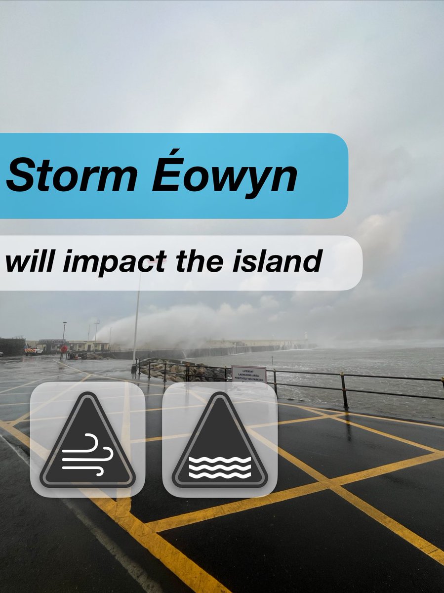
#StormÉowyn will bring impacts during Friday… 🌀
•Risk widely 80mph wind gusts (AM) 💨
•Structural damage to trees/buildings 🏠
•Risk of flying debris ⚠️
•Travel disruption ✈️ ⛴️
For the latest forecast & warnings head to the government website 🌧️
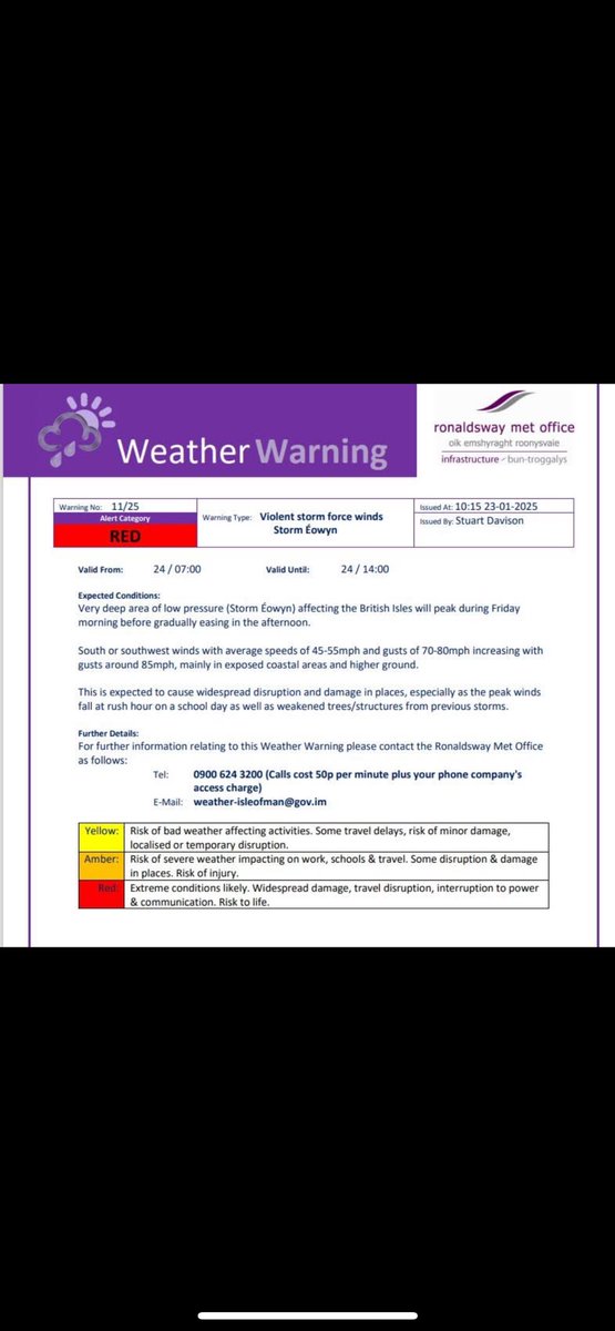
A rare red weather warning has been used by the islands met office due to the risk of violent storm force wind gusts Friday morning. ⚠️🔴
•Widely gusts 70/80, risk of 85 in exposed places💨
•Damage/ disruption⛴️🚗
For detail on the weather, head to https://t.co/QkpbOgqDux