FBS will be presenting a BeSpatial webinar together with Ecopia on Oct 28th, entitled "Using High Resolution Imagery and AI-led Vector Creation to Transform Municipal Data Procurement". It's open to members and non-members alike. Registration info below.
https://t.co/aDxkXajMcr
First Base Solutions (FBS) is excited to announce that we have entered into a formal partnership agreement with Toronto-based Ecopia AI.
For more information, please contact:
[email protected]
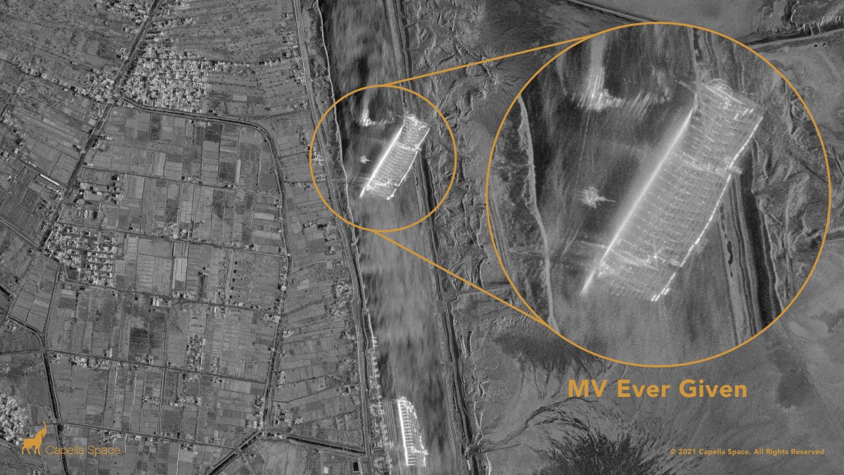
Capella’s #SAR constellation captures the Ever Given container ship blocking the Suez Canal with very high resolution 50 cm imagery as of 9:36am local Egyptian time.
We're excited to announce further 2020 imagery datasets for Southern Ontario.
These are available immediately on MapWarehouse.
Toronto 8cm Spring photo
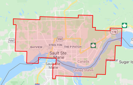
Sault Ste. Marie 20cm Spring photo
Mississauga 7.5cm Spring photo
Peel Region 15cm Spring photo
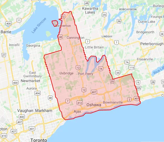
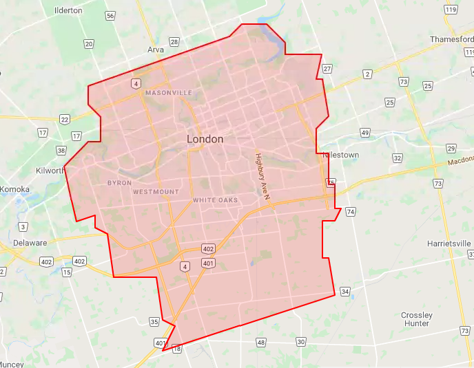
We've started posting our Spring 2020 data online. First up is London and Barrie, which was captured at 10cm GSD under snow-free, leaf-off conditions. It's currently available on MapWarehouse, and will be published to VuMap and MapCast2 next week.
Have not or have too much? These maps demonstrate how malnutrition is a real global burden which affects people regardless of where they live. https://t.co/Le8EhMVIo4
We improved MapCast again! Administrator tools, custom subscriptions, track your users, an expanding data catalogue, and bets of all, a free trial! https://t.co/yfi3Z9O9cs
Government services are now seeing the benefits of geotargeting and are adapting similar methods to provide government services and information to registered users. https://t.co/j7CvkdptNF