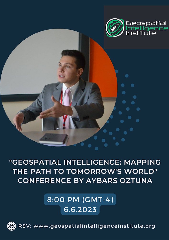
🚨🛰Join our Virtual #Conference on #GEOINT
‘‘Geohorizon 2024: Pioneering the Next Dimension in Spatial Analysis’’
Reservation Form: https://t.co/JvySatbxLP
#GeoSmartIndia | Over the years, the India Geospatial Awards have spotlighted innovation and excellence in India's geospatial sector at GeoSmart India.
Nominate top innovators for the Awards!
Visit the website to Nominate: https://t.co/04f6hTHZCk
Requesting public comment on #OGCAPI – Features – Parts 4 & 5. Part 4 defines API building blocks that allow geospatial resources to be added to, replaced, modified and/or removed; while Part 5 specifies how to describe data using a logical schema https://t.co/nQZDv5wR5X
🌍 Low-cost IoT sensor data is highly varied, making ingestion and standardization challenging. AD4GD tackles this by promoting vocabulary translation and @opengeospatial standards like SOSA and STAplus API. 🌐https://t.co/uiGXBvW2hE
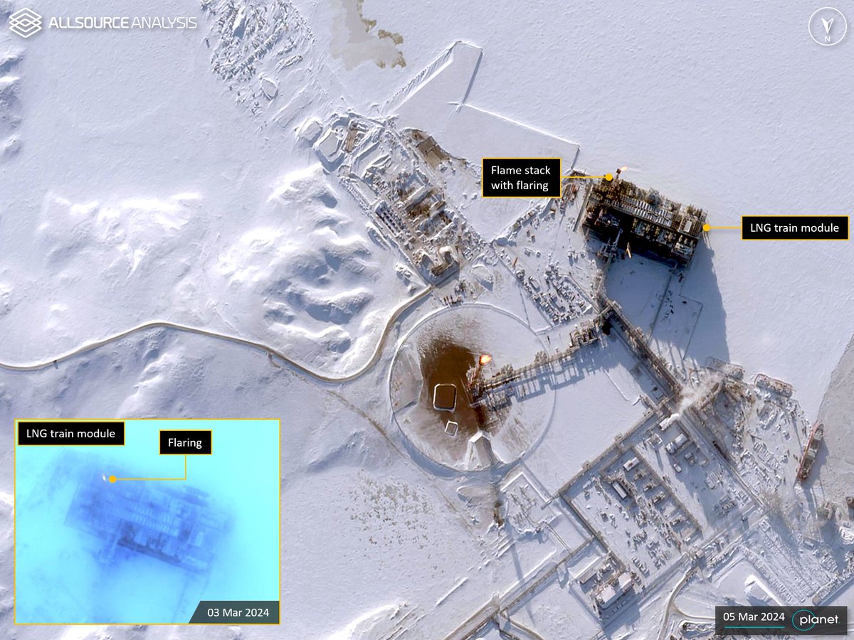
Analysis of GEOINT from 01 October 2023 - 05 March 2024 shows Arctic LNG 2 has been brought online with a flame visible from the LNG train modules flame stack. https://t.co/epfzHD3Daa
#GEOINT#Geospatial#Intelligence#Russia#Gydan#ArcticLNG2
I talked to @RennyBabiarz -a former NGA Analyst- about his work researching China's Nuclear Weapons testing, using satellite imagery & geospatial data.
This was a conversation on OSINT, but also about using nuance to communicate findings
Full Interview: https://t.co/u2ICQQAsZ0
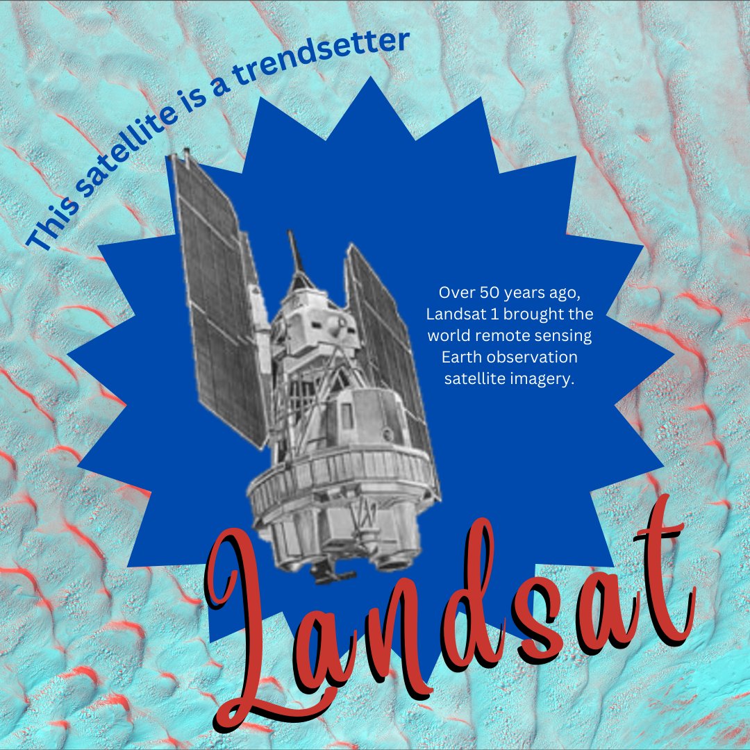
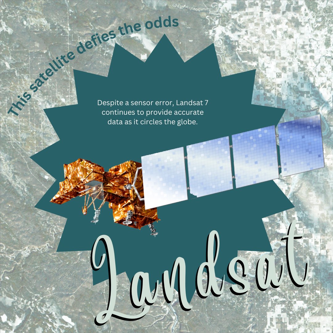
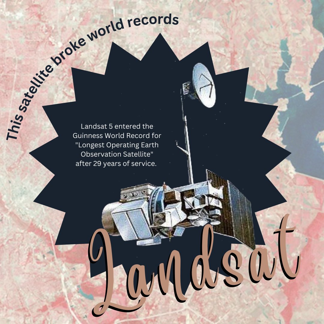
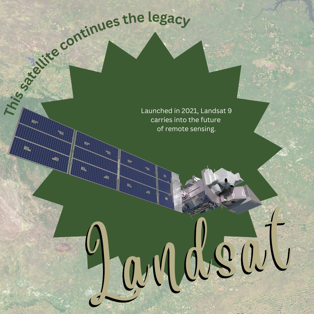
✨Meet the Landsats.✨
Landsats are everything... uh, see everything.
Landsat 1 started it all in 1972. This trendsetter made remote sensing vogue, kicking off an earth observation revolution.
Come on, let's go party with the other Landsats: https://t.co/S7gUVXpjKX
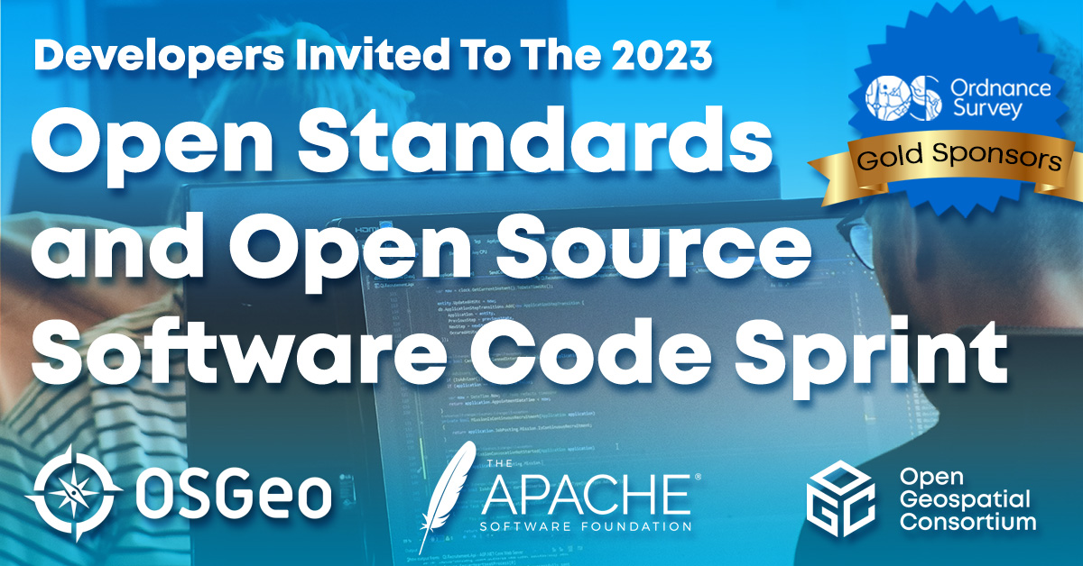
In-person reg closes next week! Developers are invited to the 2023 OGC, @TheASF and @OSGeo "Open Standards and Open Source Software Code Sprint" - A free virtual and in-person event, hosted by @camptocamp in Switzerland, from April 25-27 https://t.co/nkCALjNcpk
Developers are invited to the 2023 OGC, @TheASF and @OSGeo "Open Standards and Open Source Software Code Sprint" - A free virtual and in-person event, hosted by @camptocamp in Switzerland, from April 25-27 https://t.co/nkCALjNcpk
Thank you Max for the opportunity to interview for your great podcast on geospatial issues, Mind Behind Maps. You are an excellent interviewer and Mind Behind Maps is a great-and growing-repository of information about the geospatial industry.
Excited to launch the Location Innovation Academy. Built on the outcomes of the European #GeoE3 Project, the academy empowers users to improve the accessibility, interoperability, and integration of their #geospatial data and services, for free. https://t.co/C4zvAXqKx5 #Training
At Geospatial Institute, we continue to send aid to earthquake victims in Turkey. Today, $1K worth of food and clothes are on their way to be sent to those in need.
#turkeyearthquake2023#HelpTurkey