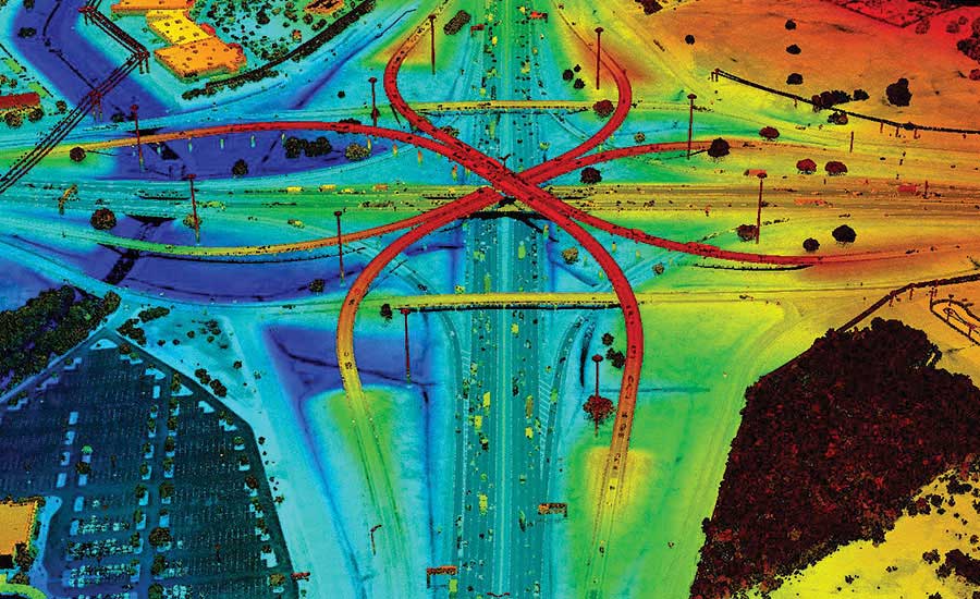
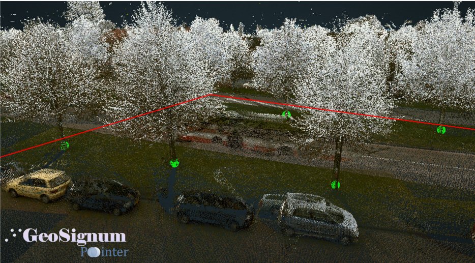
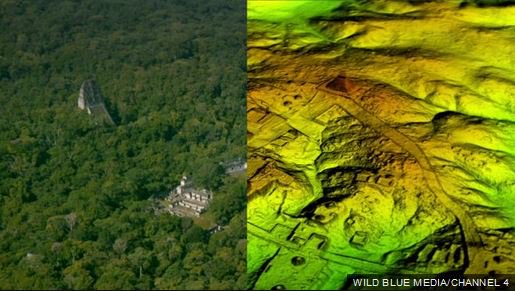
Remote sensing can be a priceless tool when managing forests in a fragmented urban system. SAF Board member @cfurtsch1 is using LiDAR-derived GIS layers to target areas that are heavily infested with non-native invasive species. #forestry#technology#LiDAR#GIS
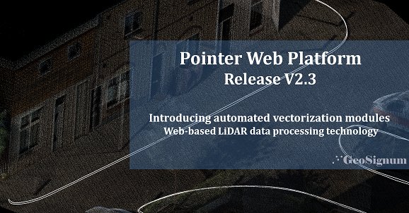
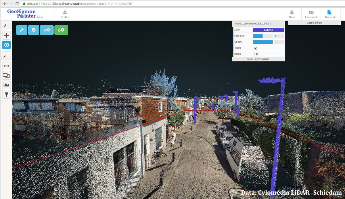
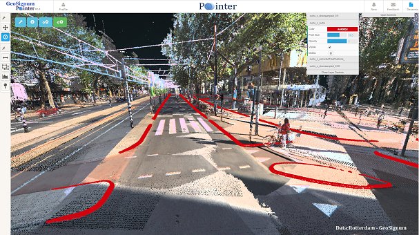
Happy to share our new release #web-based #Lidar data processing platform pointerv2.3. Introducing automated object vectorisation modules. Check out our new features for #mapping with #pointclouds in the #cloud#LaserScanning,#SmartCity, #gis https://t.co/bH8ROUSv3x
The Future of Aerial #lidar and Emerging Technologies - Linear mode lidar has been the most conventionally used aerial lidar approach for several years ... https://t.co/Tb8isLXaEm #geomatics#Surveying
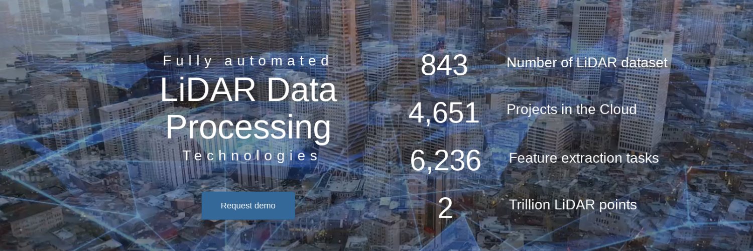
Join our free Webinar on the 6th of March and learn more about the new way of managing, visualizing and processing massive #LiDAR, #pointcloud,#laserscanning datasets by only using a web-browser. @geosignum, reserve your seat: https://t.co/ry4ctWT656
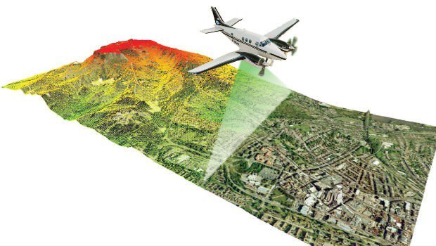
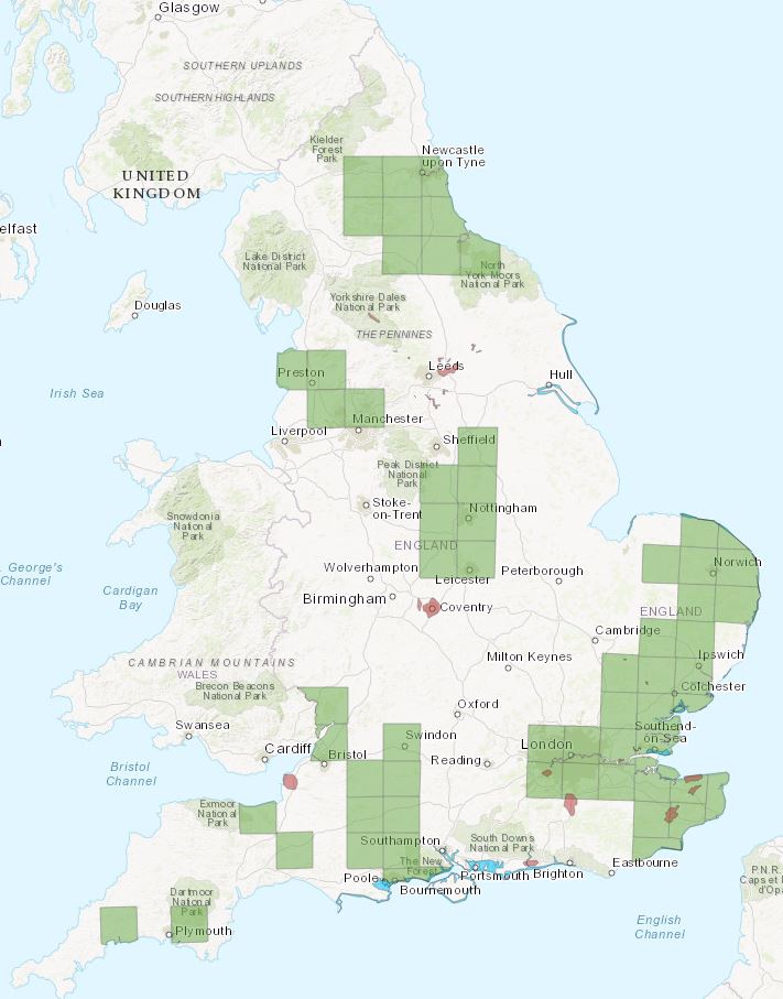
#Surveying England from the skies - see where we’ll be flying this winter season, as part of our major new project to complete England #LIDAR coverage by 2020 https://t.co/KnmhAPlcy2 @envagency#lasers#GIS#floodmapping