Our upcoming webinar explores where open and commercial models reinforce each other, where the real friction sits, and what practitioners should ask before committing to any platform.
Don't miss this conversation! Learn more & register: https://t.co/VhsKgsYqVf #GEOWEEK
Your published values & workflows could be impacted by the upcoming NSRS transition. Join us TOMORROW for a free webinar on the status of the modernized datums and tools, the transition timeline, and helpful information on how to prepare your organization: https://t.co/93CMgM9ofA
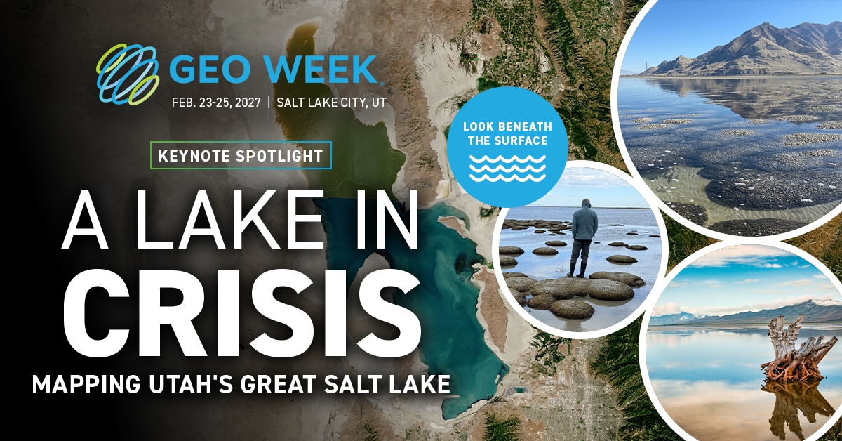
#GEOWEEK Keynote Spotlight: a discussion on a complex large-scale bathymetric lidar project to map the lakebed, wetlands, and deeper-water environments of the Great Salt Lake. Join us to look beneath the surface of this iconic lake!
Learn more: https://t.co/svSLzH3gqL
Join Exyn Technologies next Wednesday, Sept. 30, to discover how autonomous aerial robotics and reality capture are transforming the way organizations collect, process, and act on critical spatial data. Register for the webinar now: https://t.co/KIRBRHXjox #GEOWEEK
The NGS completed the release of all beta products for the upcoming transition to the modernized NSRS. If you set control, run GNSS, georeference lidar or imagery, build or maintain GIS layers, or hand coordinates to a team, watch this webinar for updates: https://t.co/1P6gJv8F4u
Join Exyn Technologies next Wednesday, Sept. 30, to discover how autonomous aerial robotics and reality capture are transforming the way organizations collect, process, and act on critical spatial data. Register for the webinar now: https://t.co/KIRBRHXjox #GEOWEEK
Get a first look at #GEOWEEK 2027 conference highlights! The program will feature a range of informative sessions, including "Geospatial Technology at Work in the Modern Airport," "Are Gaussian Splats Ready for Real Work?" and more. Learn more & register: https://t.co/iAkylMX3aH
Gain a practical understanding of how high-altitude LiDAR and advanced geospatial processing can help utilities move from reactive inspection to proactive, data-driven operations. Join us for tomorrow's free webinar!
Register now: https://t.co/RRnNO0yU3V
Sponsored by: Woolpert
Applications are now open for the GEO Empower Event Scholarship for university students. Recipients will receive a full conference pass to Geo Week, complimentary hotel accommodation, a travel stipend, and onsite mentorship opportunities.
Learn more: https://t.co/94Lrf2XJsy
"The geospatial industry has always been defined by the quality of its data and the speed at which that data can be turned into something actionable."
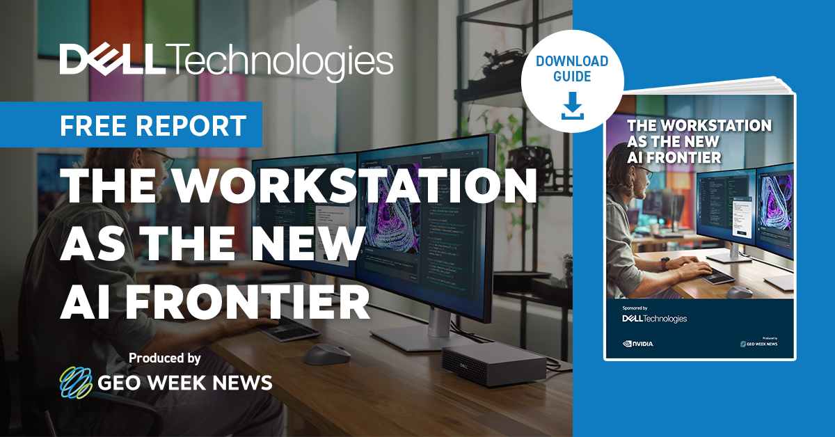
Download @Dell's free guide to learn about the role that local compute plays: https://t.co/T9eJtAmYr1
Join us on Sept. 10 for a webinar on how Woolpert’s high-definition, high-altitude airborne lidar capability – ZEUS – is being applied during an active utility project to support one of the industry’s most technical and operationally complex challenges: https://t.co/JSkCglLLpA
Growth should feel like progress. For a lot of firms, it starts to feel like pressure instead. This report from GeoBiro breaks down 4 reasons to outsource production work, plus the 1 moment when bringing in outside help is the wrong call.
Download now: https://t.co/tosxAu5q8v
Improve your AI-enabled workflows with our new guide from Dell Technologies! This report looks at why the workstation, not the cloud, is becoming the center of the AI conversation for geospatial and AEC teams.
Download the guide for free now: https://t.co/LVrBA5pcSB #GEOWEEK
If you’re the one who gets the call when the map goes down, explains the slipped upgrade, and moonlights as server admin and DBA, then you need to join us for this free webinar on Sept. 2!
Learn more & register: https://t.co/E5viYwSkmS #GEOWEEK
Webinar sponsored by: @roktech
Register now! We'll be hosting a free webinar next Wednesday, August 19: "ASPRS’s Guidelines for Quantifying Aerial Lidar Density." Join us for recommended approaches on how to plan, collect, and deliver your data.
Learn more & register now: https://t.co/nX9uf3AW6q #GEOWEEK
Check out this report from experienced geodetic firm GeoBiro. It breaks down 4 reasons outsourcing production work can be the difference-maker for a growing firm, plus the one specific moment when bringing in outside help is the wrong call. Download now: https://t.co/iDSeYjRT3k
Up next: Join us Weds., Aug. 19 for, "ASPRS’s Guidelines for Quantifying Aerial Lidar Density."
Learn more & register now: https://t.co/hqBlIwLvc1 #GEOWEEK
TOMORROW! Join expert speakers at 1PM ET for a free webinar on drone lidar, including learnings on sensor selection, flight planning, and delivering data. Register now: https://t.co/a1PtIRDybm #GEOWEEK