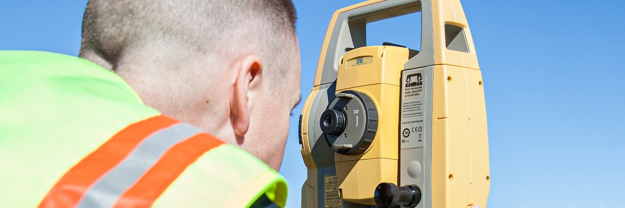
When measuring infrastructure, sensor noise matters.
Discover why sensor noise is key to reliable measurements in our latest Geo-matching article.
📍 Meet the team at INTERGEO 2026, Munich — Booth B5H050.
#INTERGEO2026#Sensors#Geospatial https://t.co/lbZcBLzXYC
No installs. No file transfers. No friction. Emesent's Aura Cloud puts your point clouds & 360° walkthroughs in front of any stakeholder via one simple link.
Explore Emesent's Aura Cloud → https://t.co/uPje55c58Z
In 2023, SKYLANDX made waves at INTERGEO with lightweight, colour-enabled handheld reality capture.
Now, in 2026, it returns to raise the bar again, with a category-defining handheld breakthrough and a highly autonomous indoor aerial robot.
See both live: 15–17 Sept | C6G118.
UltraMap continues to strengthen the foundations of photogrammetric production. New color balancing and an upcoming machine learning-based reconstruction pipeline promise more consistent imagery and stronger geometry. See it at Vexcel's Booth B6.D019 at #INTERGEO2026.
Lightweight. Efficient. Precise.
Introducing the EPiC AXIM T150 Terrestrial Laser Scanner—designed to make professional reality capture simpler, faster, and more efficient.
🎥 Watch the product video to see the T150 in action.
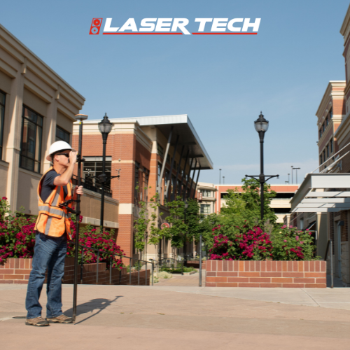
When precision matters, every measurement counts.
The TruPulse 360i delivers fast, accurate 3D measurements in one shot with TruVector® 360° Compass Technology. Capture distance, inclination & azimuth with confidence — wherever the job takes you.
#TruPulse360i#LaserMeasurement
🌊 How do you achieve homogeneous aerial imagery across an entire project, including challenging water surfaces and oblique imagery?
Join @vexcel_imaging's Tech Talk Webinar on July 30 and see the new UltraMap color balancing workflow in action.
https://t.co/zQ8PORxQma
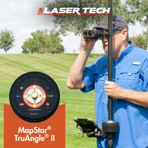
When every degree matters, precision counts.
The TruAngle® II delivers unmatched angular accuracy, seamless wireless connectivity, and reliable performance — even in GNSS-challenged environments.
Accurate. Efficient. Built for dependable mapping.
👉 https://t.co/Zfv4EBr4Tc
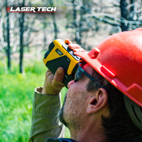
Tough. Precise. Compass-equipped.
The TruPulse 360i is a 3D data powerhouse. Capture azimuth, distance & inclination in one shot with TruVector® 360° Compass Technology. 50% higher distance & 60% higher inclination accuracy. Built for harsh conditions.
▶️ https://t.co/cLzyO7y1eJ
Meet the TruPulse® 200i: your ultimate field companion for fast, reliable measurements. Built for any environment with Dual Mode connectivity, an ultra-bright HUD, and all-weather performance.
➡️https://t.co/e6xvDwUhqs
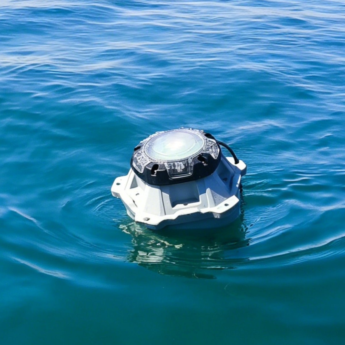
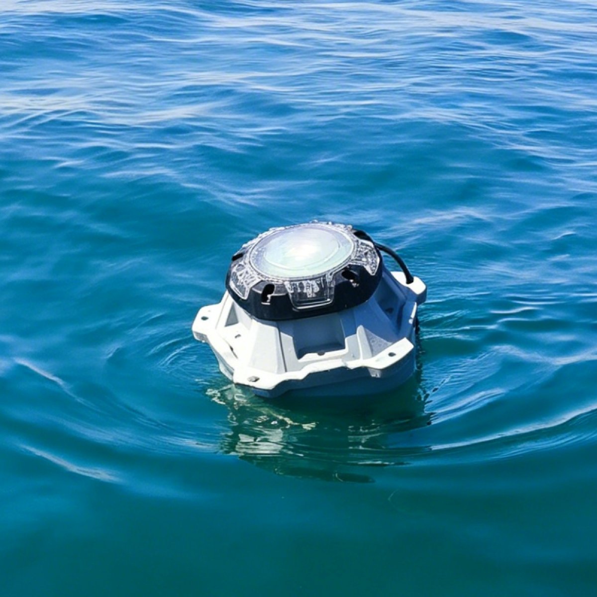
New on Geo-matching: the DRIFTER Buoy from Frankstar — real-time wave monitoring via satellite.
High-precision wave sensors
Iridium satellite comms
Modular design
Up to 5-year lifespan
For: marine monitoring, research, forecasting, offshore ops
Meet RIEGL at GEO Business 2026 and explore the latest developments in #LiDAR technology and #geospatial data acquisition.
In the spotlight:
🔶 RIEGL VZ-600i Terrestrial Laser Scanner
🚁 RIEGL VUX-120²³ UAV LiDAR Sensor
📍 Booth G232
🔗More info: https://t.co/14SNl3rpyr
H1 from singularxyz is a compact handheld 3D laser scanner combining LiDAR, GNSS RTK and SLAM for precise field capture. Real-time point clouds, IP65 rugged design and lightweight build support surveying, inspection and industrial scanning.
https://t.co/1OlWNGi1O0
Join Vexcel Imaging’s Webinar to see UltraCam Merlin 5.0 data in action. Discover UltraMap workflows, latest features, and get your questions answered in the live Q&A.
Register now: https://t.co/vVoaZ9rBU7
Join Vexcel Imaging’s Webinar to see UltraCam Merlin 5.0 data in action. Discover UltraMap workflows, latest features, and get your questions answered in the live Q&A.
Register now: https://t.co/vVoaZ9rBU7
X1 Pro GNSS Receiver from singularxyz offers a one RTK solution for all needs. Part of the X1-Series, it features a larger HD color screen and combines advanced functionality with the proven reliability of SingularXYZ GNSS products.
https://t.co/Yv65i3U9jY
Orion ONE-AR from singularxyz uses AR-guided stakeout with 2MP starlight camera for clear low-light visibility. Real-time overlays improve accuracy and reduce stakeout time by over 50%, supporting construction, infrastructure and cadastral surveying.
https://t.co/R0hfi4Mxz9
CeruleanSonar Omniscan 3D: underwater imaging system bridging side-scan sonar and multibeam echo sounders. 450 kHz, 16-channel receive array for real-time 3D point clouds. For inspection, mapping & navigation in zero visibility, SonarView integration.
https://t.co/WyDQv0PBQD