Official account of DeKUT Geospatial Developers (G-DEV) Club. Empowering the next generation of innovators in geospatial tech, mapping, geomatics, and survey.🌍
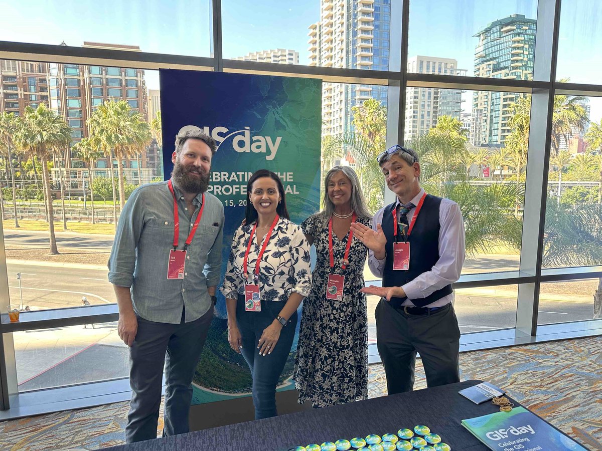
📅 Happening Today — GIS Day Webinar
𝗚𝗲𝗼-𝗚𝗲𝗻𝗲𝗿𝗮𝗹𝗶𝘀𝘁 𝗘𝗿𝗮: 𝗪𝗵𝗲𝗿𝗲 𝗦𝗽𝗮𝘁𝗶𝗮𝗹 𝗠𝗲𝗲𝘁𝘀 𝗘𝘃𝗲𝗿𝘆𝘁𝗵𝗶𝗻𝗴
🕒 2:30–3:30 PM EAT
Join us as we celebrate #GISDay2025 and explore how spatial thinking drives innovation across sectors. 👉🏾 https://t.co/WvaWDwsgjl
#GISDay2025 looks good on you!
What began as a small elementary school event in 1999 has grown into an annual celebration of events worldwide. 🌎💚🎂 https://t.co/tlb8aejI0L
Share your celebrations with us.
Join us tomorrow at the Technical University of Kenya for the annual GIS Week as we talk about Geospatial Science in the Geo-Generalist Era. We will also be exhibiting. Visit our stand tomorrow!
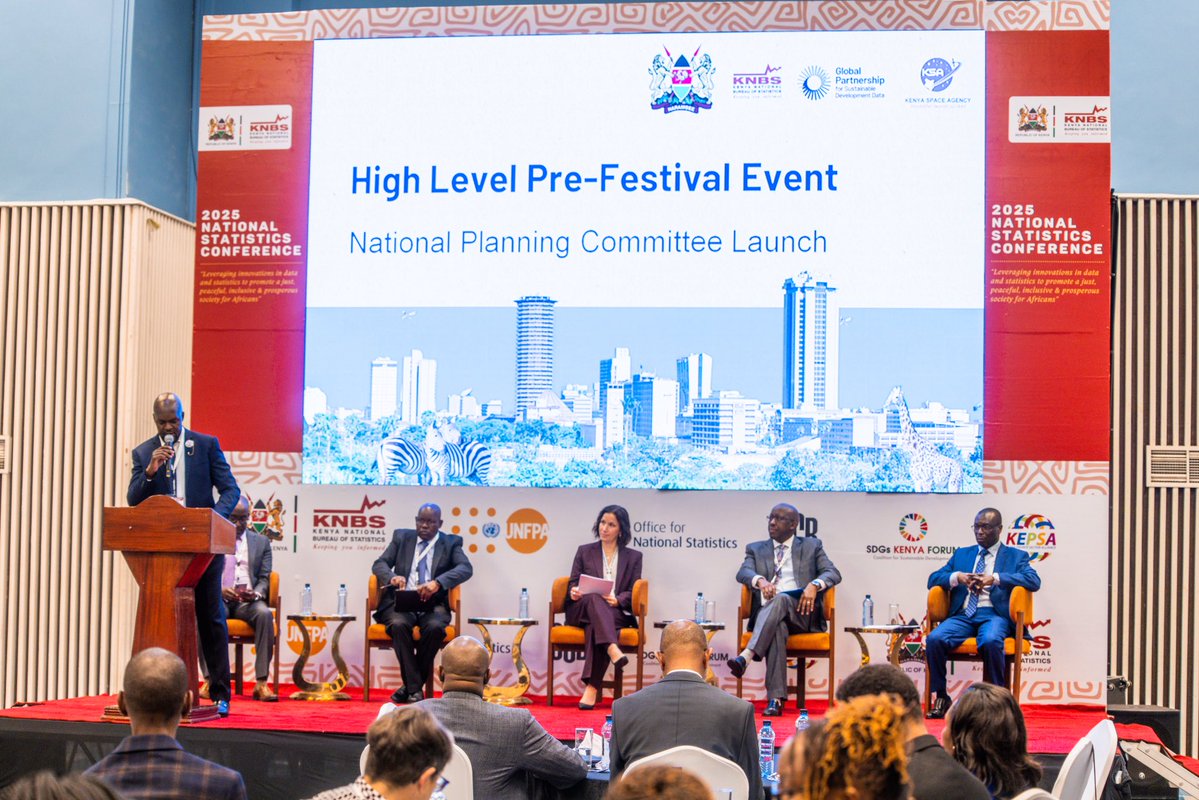
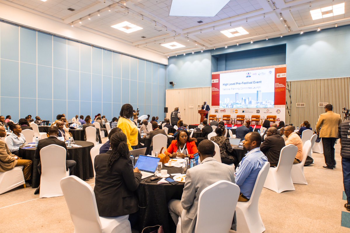
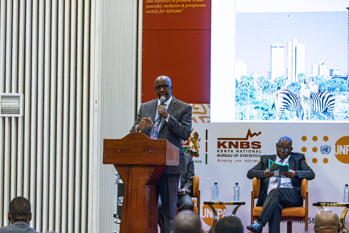
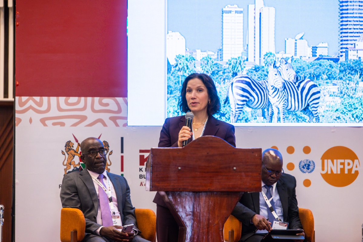
Inauguration of the National Planning Committee for the Global Data Festival & Kenya Space Expo & Conference 2026
The Director General of the Kenya Space Agency(KSA), Brig. Hillary Kipkosgey, this morning attended a high-level breakfast meeting held at the Edge Convention Centre, Nairobi, to officially inaugurate the National Planning Committee for the Global Data Festival and the Kenya Space Expo & Conference 2026.
The meeting brought together key national and international partners including the office of the Special Envoy on Technology, Kenya National Bureau of Statistics (KNBS), and the Global Partnership for Sustainable Development Data (GPSDD). Among the distinguished guests were Dr. Macdonald Obudho, DG of KNBS, and Ms. Jenna Slotin, CEO of GPSDD.
The formation of this Planning Committee marks a significant step in coordinating the preparations for the two major events scheduled for June 2026. The Committee will provide strategic direction and oversee all aspects of planning and execution.
During the event Brig Kipkosgey affirmed that KSEC naturally aligns with the Global Data Festival, noting that discussions about global data cannot be complete without data from space. He further committed that KSA will play its full part in ensuring the success of the Global Data Festival and the Kenya Space Expo & Conference 2026, and expressed gratitude to all partners for their continued collaboration.
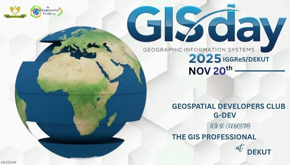
Joining the world in celebrating #𝗚𝗜𝗦𝗗𝗮𝘆𝟮𝟬𝟮𝟱. This year’s theme “𝗚𝗲𝗼 𝗚𝗲𝗻𝗲𝗿𝗮𝗹𝗶𝘀𝘁 𝗘𝗿𝗮: 𝗪𝗵𝗲𝗿𝗲 𝗦𝗽𝗮𝘁𝗶𝗮𝗹 𝗠𝗲𝗲𝘁𝘀 𝗘𝘃𝗲𝗿𝘆𝘁𝗵𝗶𝗻𝗴” shows how GIS now powers innovation across every sector.
📢 Call for Papers: M2GARSS 2026
🗓️ Submission Deadline: 30 November 2025
The 2026 IEEE Mediterranean and Middle-East Geoscience and Remote Sensing Symposium (M2GARSS) invites researchers, professionals, and students to submit their latest work in geoscience and remote sensing!
📍 22–24 April 2026
📌 Marrakech, Morocco & Virtual
M2GARSS serves as a leading regional forum for the exchange of ideas, collaboration, and advancement in geoscience and remote sensing, connecting communities across the Mediterranean and Middle East.
🔗 Submit your paper: https://t.co/jij450heFo
🔗 Learn more: https://t.co/baUtu3tomb
#M2GARSS2026 #IEEEGRSS #CallForPapers #RemoteSensing #Geoscience #EarthObservation #GRSSCommunity
🌟 Article of the Week 🌟
This week’s featured article from IEEE Journal of Selected Topics in Applied Earth Observations and Remote Sensing (J-STARS) showcases groundbreaking work at the frontier of remote sensing research.
🔍 This Week's Highlight:
Title: Advanced Plant Disease Segmentation in Precision Agriculture Using Optimal Dimensionality Reduction With Fuzzy C-Means Clustering and Deep Learning
Authors: Mughair Aslam Bhatti, Zeeshan Zeeshan, Syam M.S., Uzair Aslam Bhatti, Asad Khan, Yazeed Yasin Ghadi, Shrooq Alsenan, Yang Li, Muhammad Asif, Tahreem Afzal
📖 This study presents an Enhanced Transformation-Enabled Fuzzy Graph (ETFG) model that blends fuzzy clustering, PCA-based dimensionality reduction, 3D-CNN, and graph attention networks to more accurately classify hyperspectral imagery for precision agriculture.
🔗 Read the full paper here: https://t.co/g4VZL3Id5k
Stay tuned for more groundbreaking research every week as we celebrate excellence in geoscience and remote sensing! 🌍📡
#IEEEGRSS #RemoteSensing #Geoscience #ieeexplore #hyperspectral
Voting is Now Open!
The wait is over voting for RCMRD’s Arts and Maps Competition 2025 is officially open!
Every year, the Arts and Maps Competition brings together young innovators and creatives from across Africa to showcase how maps and art can tell powerful stories about our planet, from biodiversity and climate action to sustainable communities.
This year’s participants have pushed the boundaries of creativity, using maps to inspire change and celebrate Africa’s landscapes, people, and future.
Now it’s your turn to take part, explore the entries and vote for your favourite submission!
Your vote will help determine who becomes the 2025 Arts and Maps Champion.
👇 https://t.co/oT8CHLTopN
#RCMRD #ArtsAndMaps2025 #MappingAfrica #YouthInSTEM #GeospatialInnovation #Competition #VoteNow
I love how China works! They are great at adopting fast and localizing solutions quickly, making it ready for production so fast , iterating on human feedback and improving……quite amazing…which might be contrary to the USA who focus more on innovation / invention…
The Esri EA team presenting on how planners can employ GIS for spatial planning to achieve the big 4 agenda at the Town & County Planners Association Conference.
#planning#Big4Agenda
🚀 Sneak Peek: Interactive Visualization of the Planet Tanager Hyperspectral Data (https://t.co/Ne0FGLcSFj) Using the HyperCoast Python package
Stay tuned for notebook examples and video tutorials.
GitHub: https://t.co/7VxgdRyEdp
#geospatial#Tanager#Python#DataScience