Geochemical fractionation and environmental risks of selected heavy metals in waste-impacted soils: Sequential extraction, mobility indices, and implications for a sustainable environment
Read: https://t.co/rq3SKM3yTu
#Geosystems#HeavyMetals#SoilContamination
Can Machine Learning Improve Gold Exploration? A comparative study of Random Forest and XGBoost for gold prospectivity mapping in India’s Mahakoshal Fold Belt.
Read: https://t.co/CVKdmIPRP9
#MineralExploration#GoldProspecting#MachineLearning
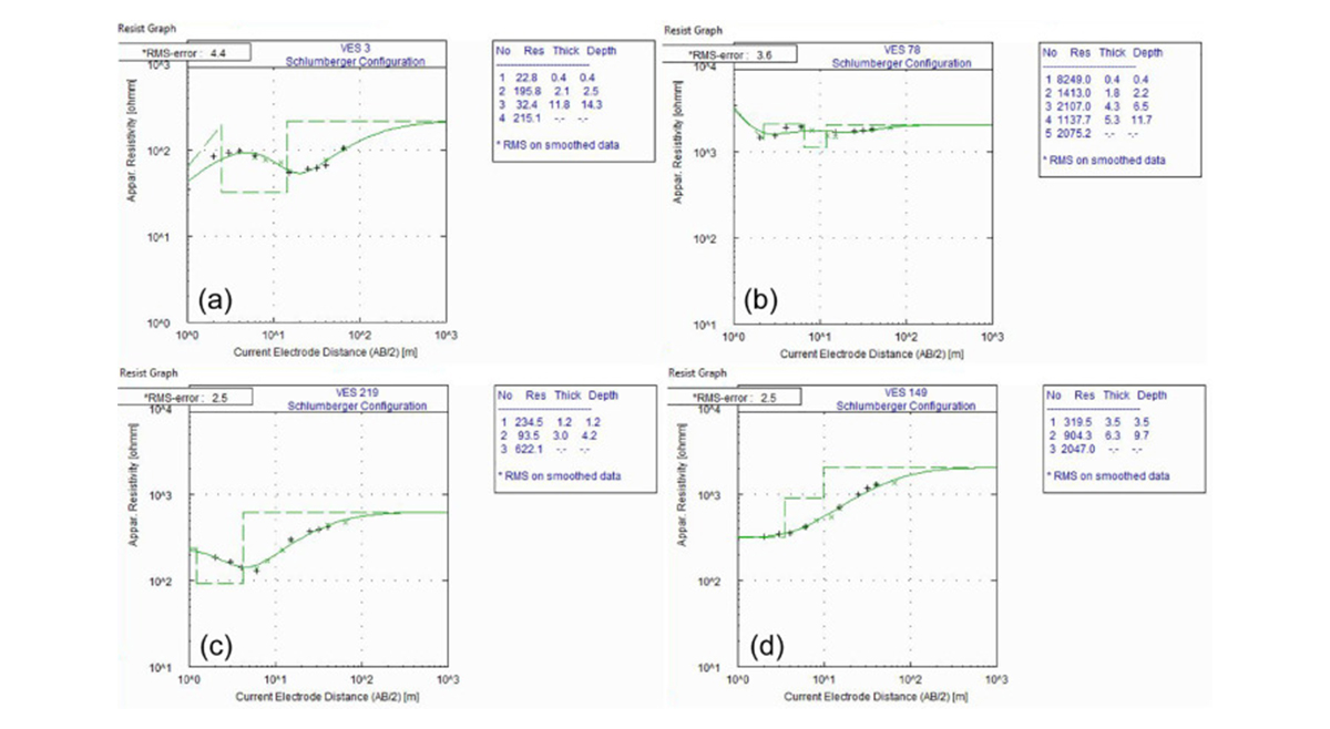
Geoelectrical characterization of subsurface instabilities: Implications for mass movement risk management in Bafoussam, Western Highlands of Cameroon
Read : https://t.co/smDd1QCaQC
#LandslideRisk#Geohazards#DisasterRiskManagement
Continental arc to back-arc magmatism during the late Neoarchean: Constraints from granitoid–metabasite suite in the southern Aravalli–Banded Gneissic Complex, NW India
Read : https://t.co/nYcKUBIuu6
#IgneousPetrology#Geochemistry#Tectonics#Geochronology
Paleoenvironment and hydrocarbon stratigraphy implications of high-resolution Paleocene-Early Miocene sporomorphs biozonation in the onshore western Niger Delta
Read: https://t.co/mJTFsAwmeT
#Miocene#Sporomorphs#BasinAnalysis
💎 What can xenocrysts reveal about the evolution of the lithospheric mantle?
Geochemical and thermobarometric insights into mantle evolution beneath the Bulkur diamond-bearing orangeitic tuffs of the NE Siberian Craton.
#Geochemistry#DiamondExploration#Geology
A comparative study of data-driven mineral prospectivity models reveals new insights for identifying potential gold deposits in India’s Neoarchean Sonakhan Greenstone Belt, Bastar Craton.
Read: https://t.co/Jek8hmwnuW
#EnsembleLearning#DataDrivenScience
Electrical imaging for thermotectonic architecture of the Paleoproterozoic Vindhyan rift basin and Malwa Plateau in central India: Evidence from magnetotelluric data
Read: https://t.co/BA08Ib2zWg
#Magnetotellurics#Tectonics#StructuralGeology#Geology
Delineation of groundwater potential zones in Garowe district, Puntland, Somalia, using remote sensing and GIS-based analytical hierarchy process
Read: https://t.co/2BdsXNk3fq
#WaterResources#GroundwaterMapping#Somalia