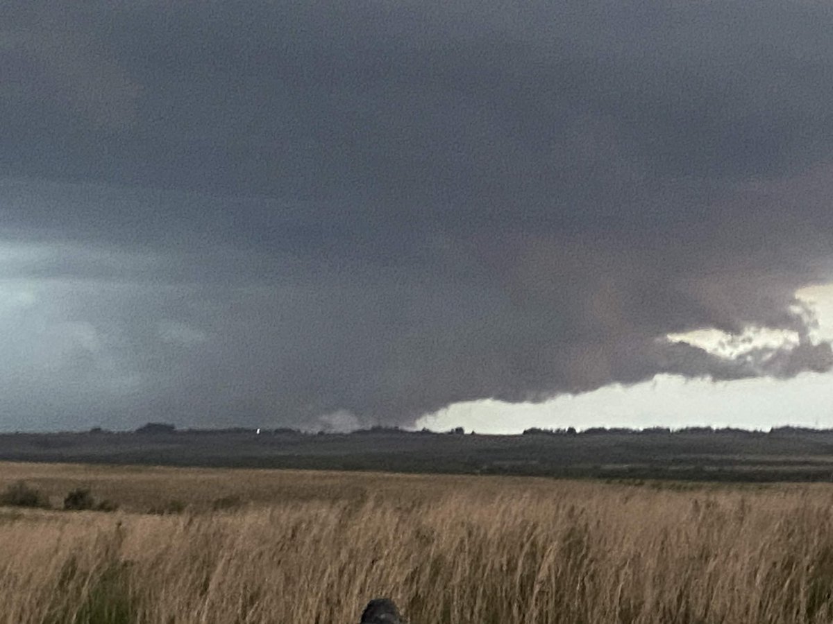
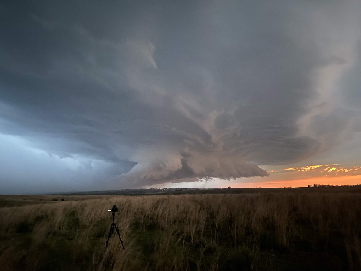
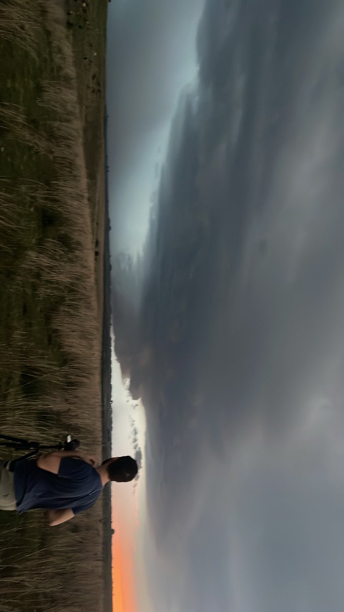
POSSIBLE TORNADO near Alegrete, RS 🇧🇷 an hour or so ago!
Insane structure with a sunset-lit supercell.
Day 1 of our Brazil coverage complete! Tomorrow expected to be a higher end day.
📸 @TheNaderMike
📍Alegrete, Rio Grande Do Sul, Brazil
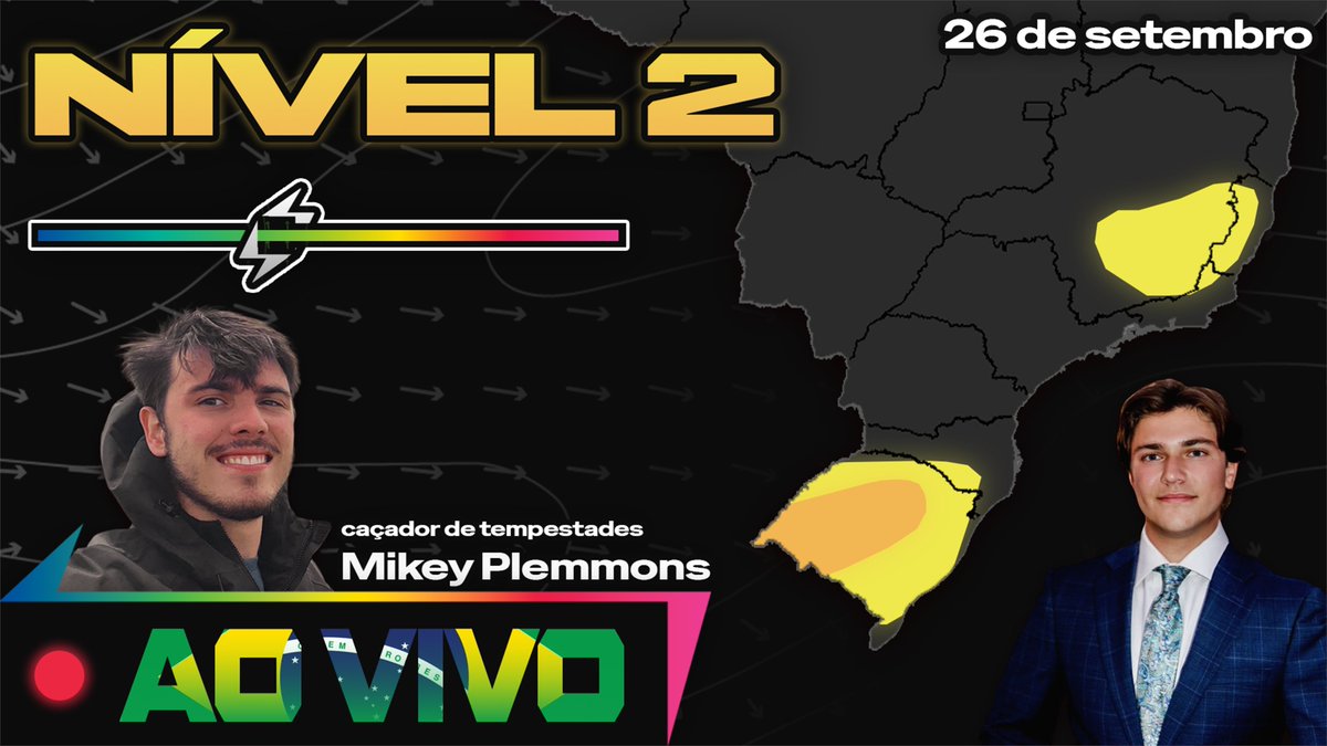
EN: It is time to change the game.
We're LIVE covering severe weather in Brazil with @TheNaderMike in the field!
Tap in. Link below.
BR: É hora de mudar o jogo.
Estamos AO VIVO cobrindo o mau tempo no Brasil com @TheNaderMike em campo!
Acompanhe. Link abaixo.
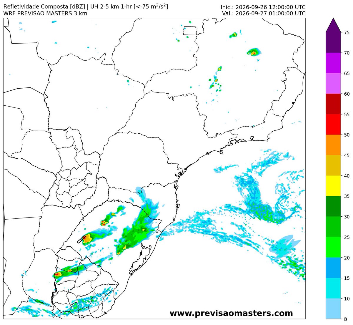
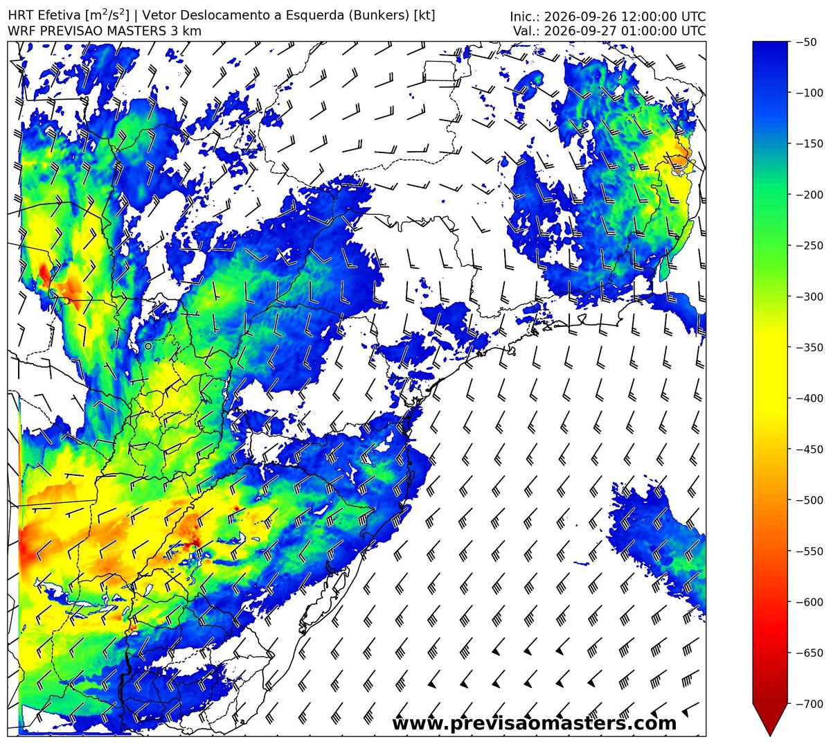
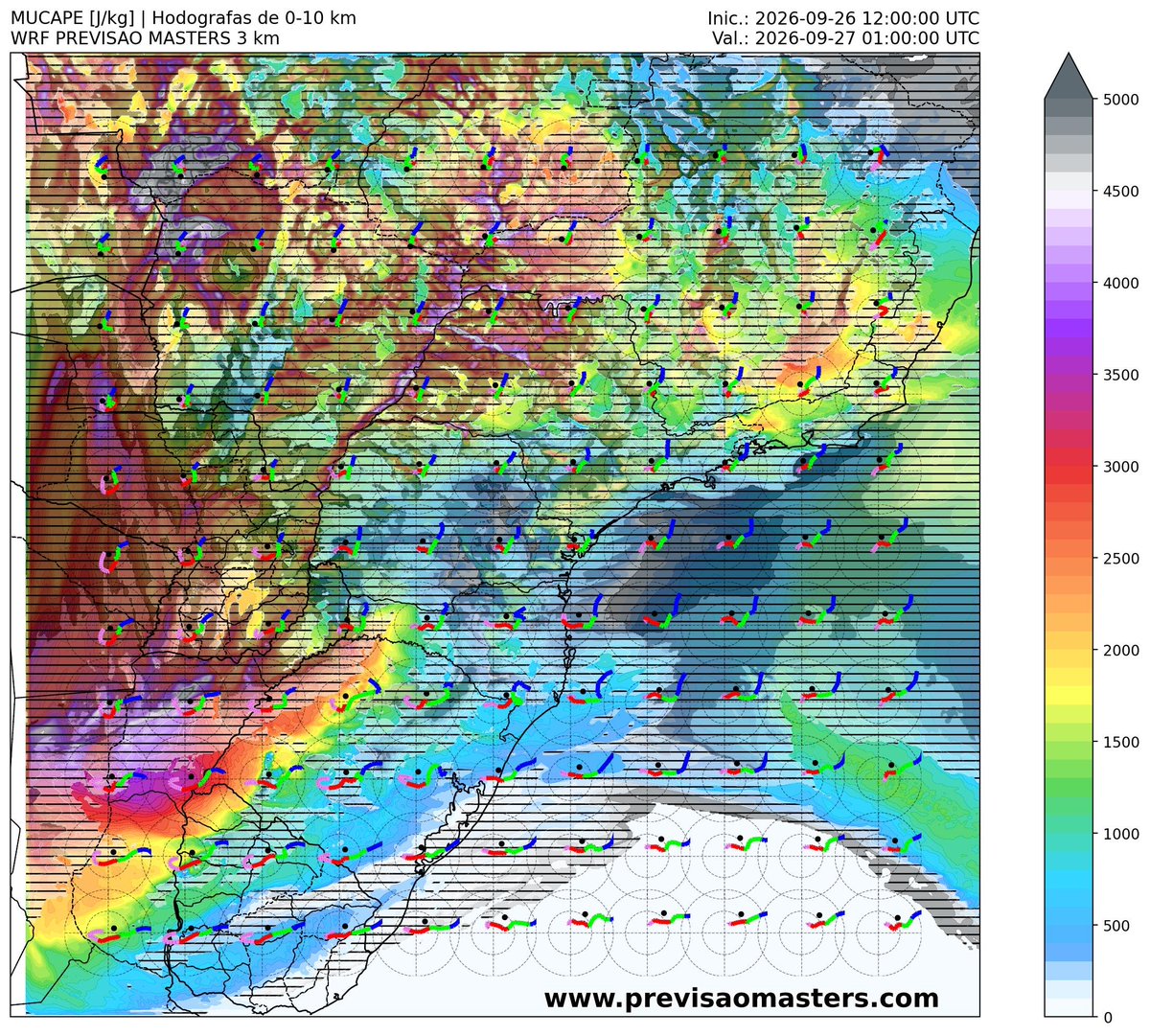
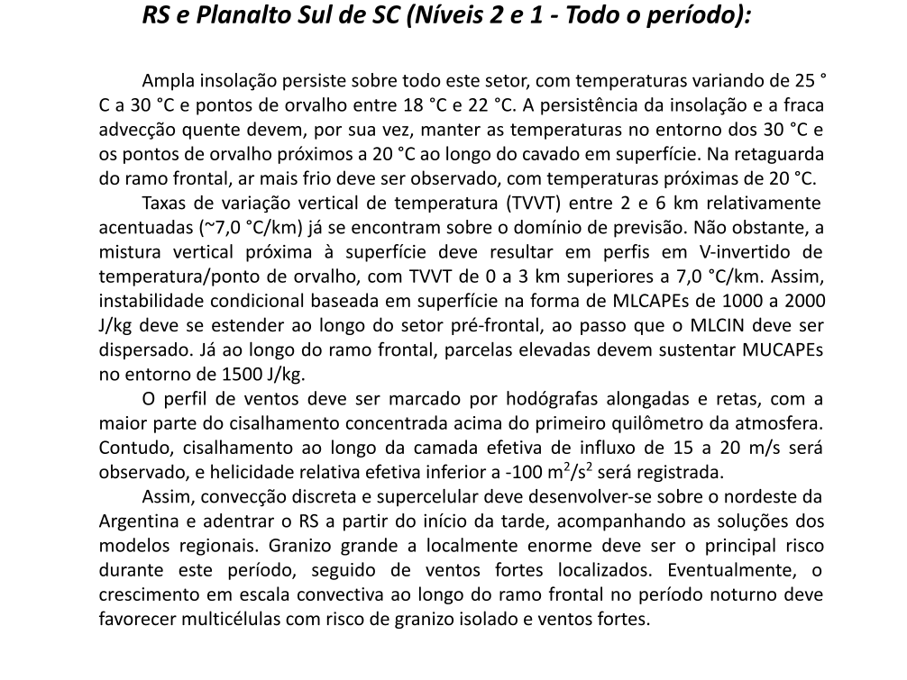
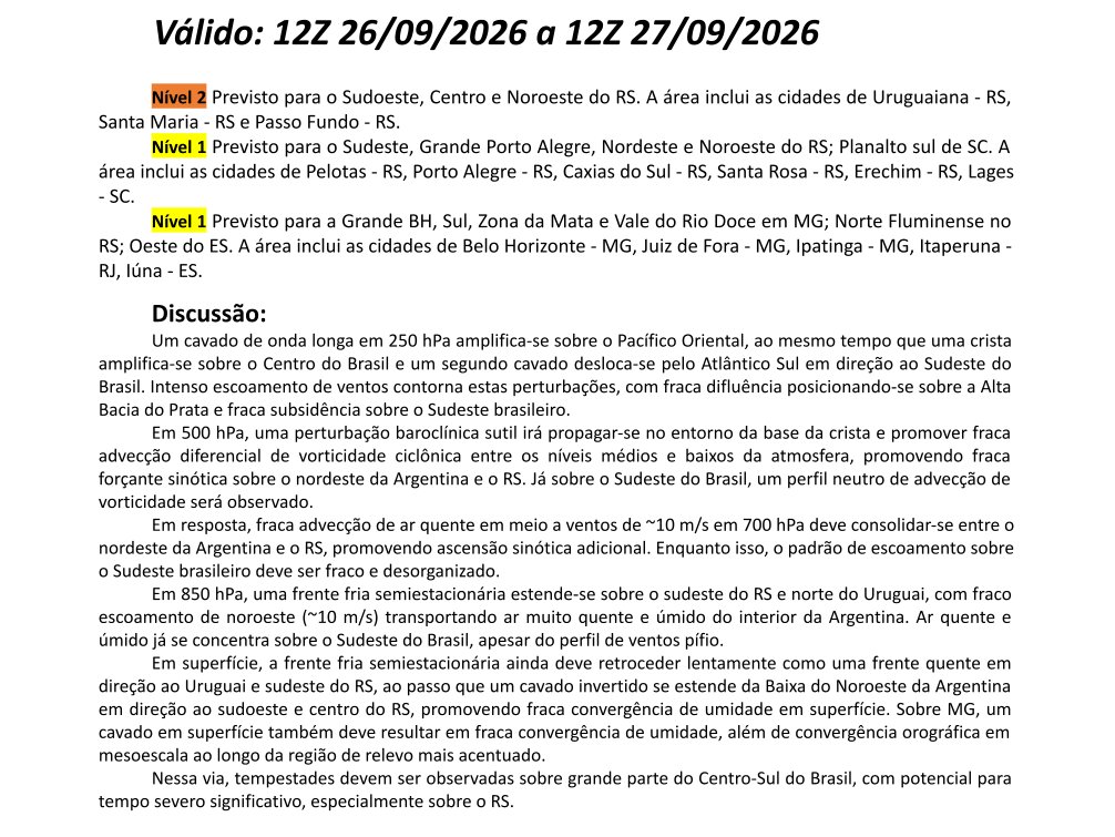
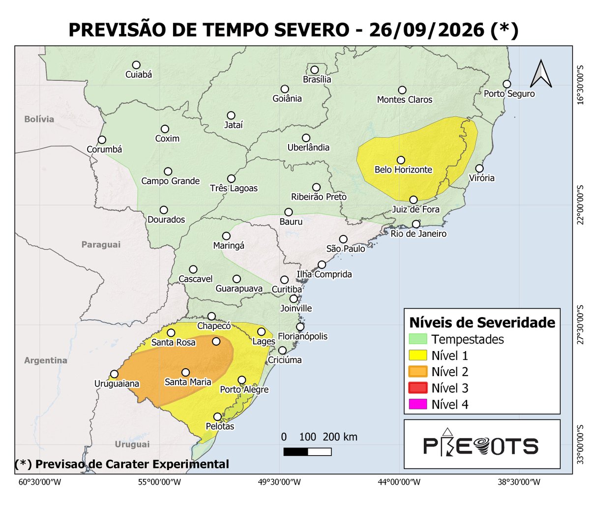
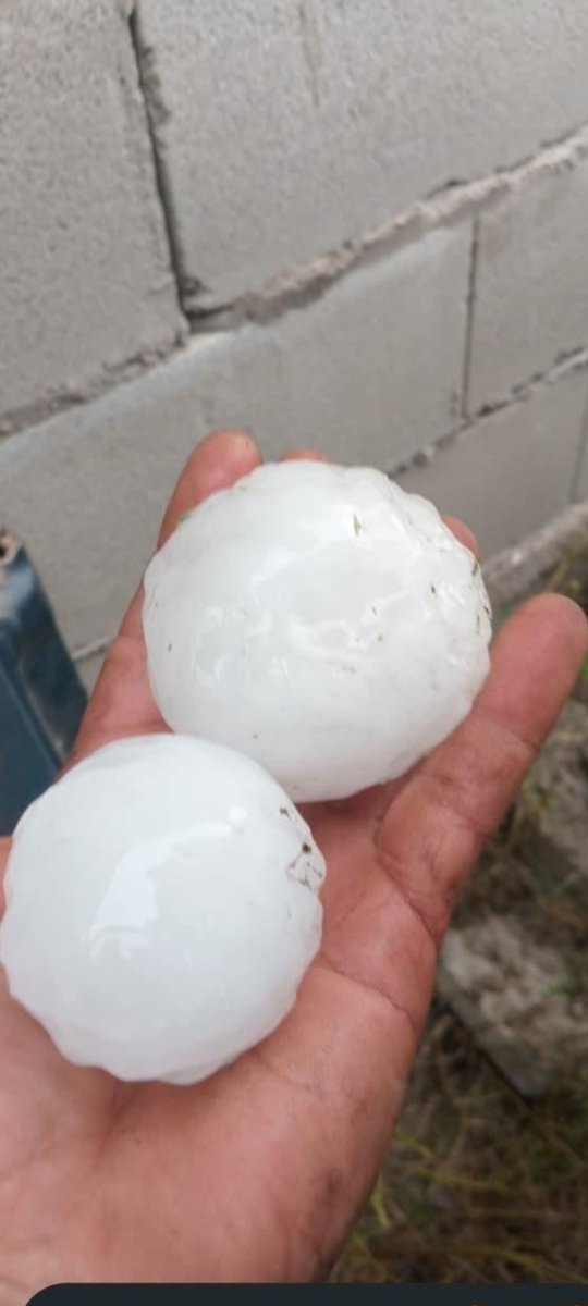
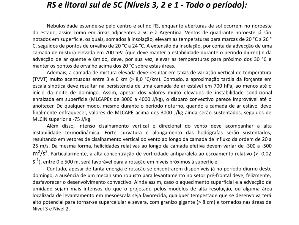
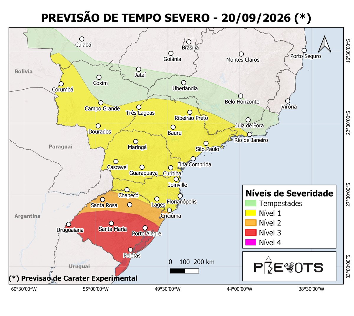
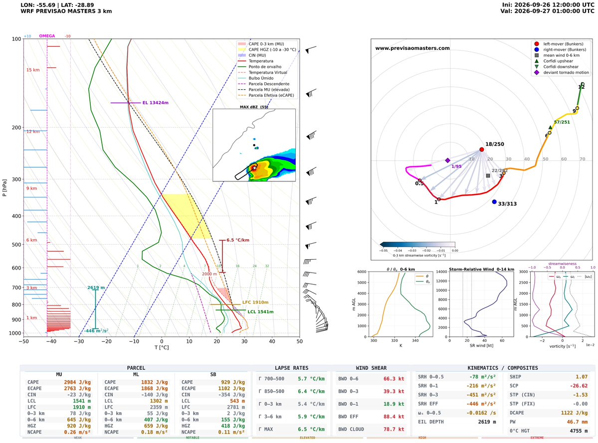
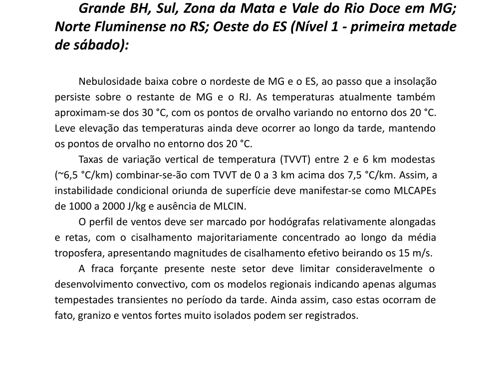
Potential strtucture fest with large hail later today in Rio Grande do Sul, a stable layer plus good SRW should maintain a few long track hailers into the evening.
Según entrevistas que vi y por las imágenes, puede ser (no estoy seguro) que esta sea la ubicación original de los árboles del video. Midiendo desde la raíz, uno se habría desplazado cerca de 40 m y el otro cerca de 70 m. Se ven otros árboles trasladados, pero no sé su origen.
My 2026-27 fall/winter tornado forecast is complete! In it, we analyze the factors that modulate US tornadic activity in the cool season (which I define as October-February) to come up with a forecast for tornado frequency and distribution in the US this fall and winter.
It will be released on YouTube on Wednesday at noon CDT, but it's already available over on my Patreon page, either via membership or one-time purchase: https://t.co/Qa6KIMLmwC
I remember that day as my house was being hit by the outer bands of Catarina. People to our sotheast took the brunt, and a few TC tornadoes were likely spawned by this storm.
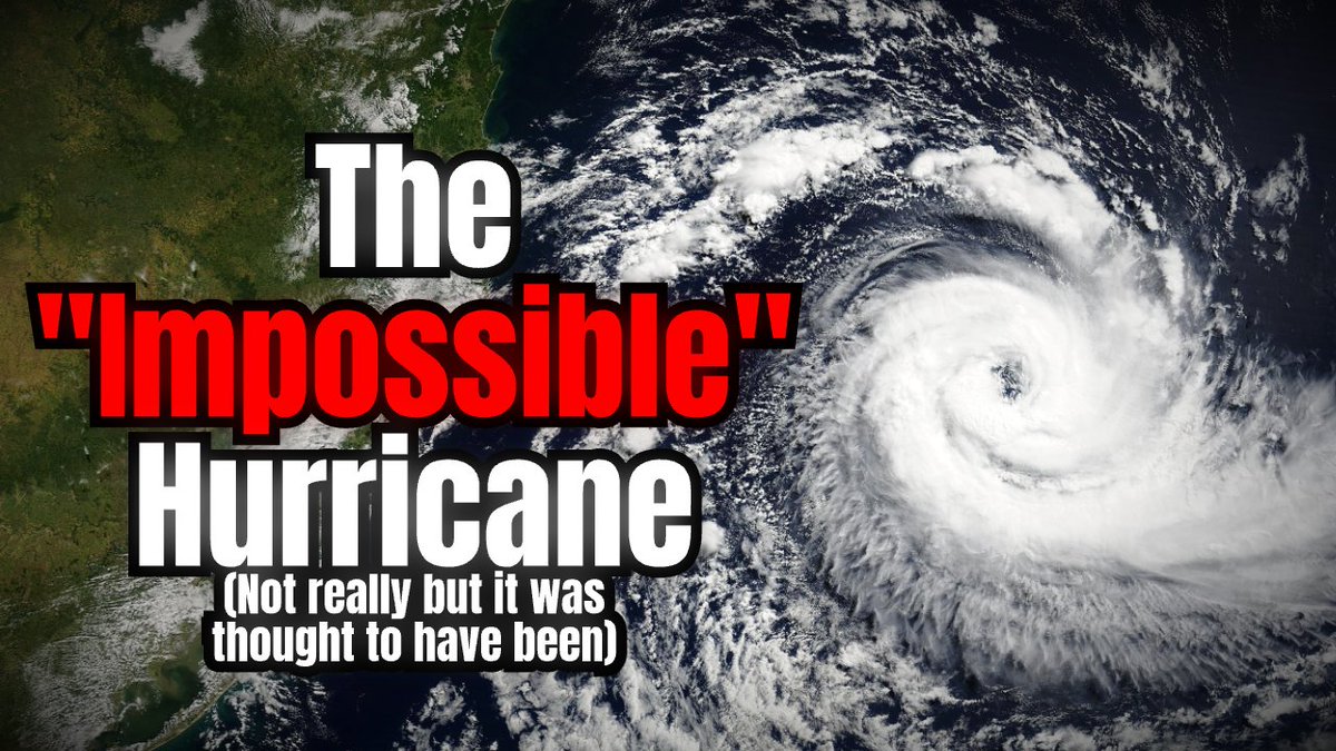
In 2004, what was thought to have been impossible (Or close to it anyways) happened in the Southern Atlantic.
A hurricane, a mid-range Category 2 no less, formed and slammed into Brazil.
I made a video today talking about it, video is on my channel: Alferia
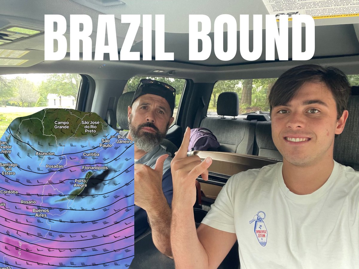
We are officially ON OUR WAY to southern Brazil to chase a loaded sequence of severe weather. Gorilla hail and a few tornadoes will all be possible over the next 14 days!
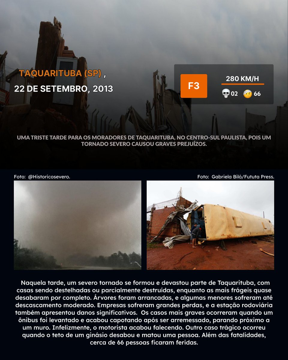
22 de setembro marca o início da primavera, a famosa estação das flores. Para o estado de São Paulo, essa data específica é marcada por pelo menos três tornados intensos ocorridos no estado justamente nesse dia.
🔴 Brutal caída de #granizo en La Francia, #Córdoba, esta tarde. Sucedió tras un brote de superceldas. Santa Fe tiene reportes similares.
Mañana esperamos vientos intensos en la región central (bajo alerta).
📷 Créditos a quien corresponda del video y las fotos.
Most of the warm sector over the upper La Plata is cooking right now, but the lack of robust forcing has left a lid over the very unstable and sheared environment. That will change by the evening with the cold front, at the expense of quick upscale growth. We shall see.
We have added local ⭐️ NEXRAD RADAR ⭐️ to the Archive! For priority cases, just zoom in on the map in the "Radar & Sat" tab and the view will automatically transition from an MRMS to a NEXRAD view.
No selecting times, you just zoom in to get the radar image.
BTW, you can also lock in either the MRMS or the NEXRAD view on the bottom where it says "Detail" (Auto/Low/High).
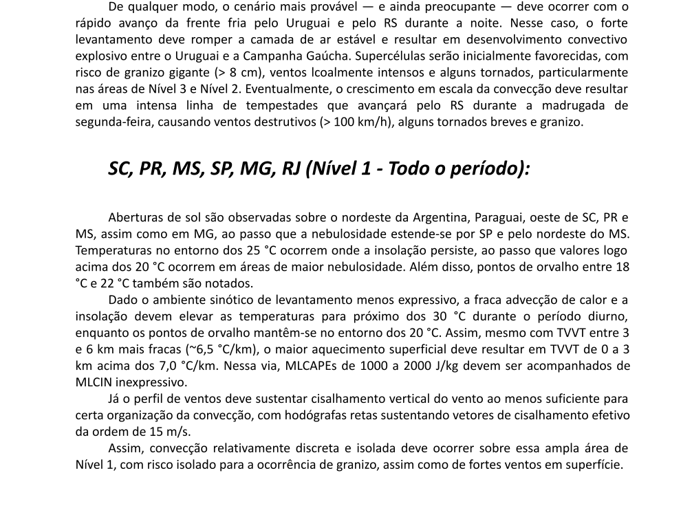
Vídeo sobre o risco severo deste fim de semana. Era pra ser curto, mas foi um dos mais longos que já fiz. Às vezes o cara se empolga. Espero que voces sobrevivam até o final.
https://t.co/WbnWa66kli