Introducing new data layers for building footprints, land parcels, and AI powered layers that spot infrastructure assets from Street View imagery. Try these new layers now ➡️ https://t.co/x7VjSUUanY
With information right at your fingertips you can spend less time combining data, manually identifying assets, and combing through imagery. These premium layers are now available for Professional & Professional Advanced customers on web and Android.
Support land management decisions from every angle. 🌍 https://t.co/ViWW1RsT7u
Conservation requires more than just a list of species — it requires a view of the entire ecosystem and its health. Now, you can import your own shapefiles directly into Google Earth to see how information like water quality, biodiversity, habitats, wildlife corridors, and protected lands intersect.
Visualize the ecosystem condition of your project sites in 3D and turn complex data into a story that moves stakeholders to action.
#GoogleEarth #Conservation #EnvironmentalData #Sustainability #Nature #GIS #ConservationGIS #LandTrust
Urban planners spend hours wrangling GIS data for stakeholder presentation, analysis, and reviews. Unify your city planning data in Google Earth with new SHP imports. https://t.co/DS7TvwDR1P
Securely combine zoning data, environmental constraints, and property boundaries as performant, cloud-native data layers to create a single source of truth for your entire team.
Upload your SHP files to Google Earth today.
Costly delays happen when steep slopes surprise your crew after you’ve already deployed a team. Spot logistical hazards early with Google Earth's new elevation profiles. https://t.co/HASG11UErG
Construction teams can now simply draw a line to visualize elevation profiles. Mitigating these risks before deploying teams keeps you on schedule and on budget.
Project proposals without inspiring visuals can fail to align stakeholders on a shared vision. Bring your 3D models to life on Google Earth to secure buy-in faster. https://t.co/LaXqkYlCVQ
You can now upload, orient, and share custom 3D models to see proposed designs and investments in their real-world context. This allows every stakeholder to operate from a single source of truth, reducing the risk of misalignment before resources are committed. Use Google Earth as an interactive stage for your next pitch or exploration and bring your designs to life.
Planning irrigation and tractor routes without precise terrain data creates severe operational hazards. Google Earth now generates elevation profiles straight from the measure tool. https://t.co/hBlM513sZp
Agricultural professionals can instantly map management zones, identify natural bowls prone to flooding, and flag rollover hazards for heavy machinery. This spatial intelligence ensures your crop placement is optimized and your crew saves time.
Terrain impacts nearly every project. Luckily, Google Earth’s measure tool just got a major upgrade. Introducing elevation profiles. https://t.co/strPGePtP1
Simply draw a line, as you always have, to instantly generate a detailed and interactive elevation profile in the inspector panel. Whether you are tackling complex route and transportation planning, conducting viewshed analysis, or mapping out logistics for heavy machinery, you can now instantly contextualize terrain dips and peaks directly on the map.
Shapefiles have officially landed on Earth. https://t.co/bqJwgFbdmk
By simply uploading a .zip file, you can render features and attributes as flexible, cloud-native data layers. This is the ultimate silo-breaker for professionals who need to combine local zoning data, property boundaries, and more to get a complete geospatial picture.
Add your first Shapefile to Google Earth now.
Aligning stakeholders on a shared vision is hard enough. Relying on flat 2D images, out of context renderings, or spending hours and hours on mock-ups makes it even harder. Google Earth is now an interactive stage for your 3D models. https://t.co/CWfTOOvzOa
We have introduced GLB file support so you can effortlessly upload and orient your 3D models directly on the globe. Seeing your vision in its real-world context helps you gain buy-in, mitigate risk before resources are committed, and move faster as a team.
Import your first 3D model to Google Earth today.
Today, we’re thrilled to announce the launch of Shapefile and 3D model import support on Google Earth. Plus, we’ve also added elevation profiles to the measure tool just for… good measure! https://t.co/vpIJA3HCv4
You’ve made it clear. You want to be able to bring more of your data and models to Google Earth’s real-world canvas. We're excited to take the next step in delivering on that promise with these new features:
🔶 Shapefiles (SHP): Render industry-standard geospatial data as performant, cloud-native layers.
💡 3D Models (GLB): Place custom architectural mock-ups, massings, and more in a visually rich context.
🗻 Elevation Profiles: View detailed terrain data in the measure tool you already know and love.
These new features are live now on Google Earth!
How do you map a country's supply chain in one afternoon? 🌴 Jake Wilkins explains how Epoch is using AlphaEarth Foundations satellite embeddings (part of Google Earth AI) and linear models to bootstrap country-scale searches for palm oil mills with minimal training data, generating compliance-ready insights for a more sustainable future. 🌎
Check out the full guest blog to see how it works, with code snippets and implementation tips: https://t.co/jBvtg8gIn5
We want to hear from you this Earth Week! https://t.co/DIFfRsxKpU
The technology we're building today is just the beginning, and we're constantly striving to make our map a more powerful canvas for environmental action. Tell us how you are using Google Earth!
No place like home 🌎 Today we celebrate Earth Day with a cinematic voyage through the hidden corners of the world and the beautiful wonders of this planet. Here is a closer look at the landscapes that created today’s #GoogleDoodle:
G – United Kingdom, Europe
O – Canada, North America
O – Argentina, South America
G – Australia, Oceania
L – Senegal, Africa
E – Indonesia, Asia
Explore for yourself on Google Earth. https://t.co/r9kwhpDSH9
Happy Earth Day!
Today, we are celebrating the work happening across Google Earth, Google Earth Engine, and our Sustainability teams. https://t.co/0kAjNq9q1E
In this blog post, we're looking under the hood to share exactly how our teams are generating cutting edge research and technology, and more importantly how you can use these tools to get deeper insights about our planet.
#GoogleDoodle #GoogleEarth #GoogleEarthEngine
How do we move beyond simply detecting landscape change to understanding what happened? 🛰️ Discover how satellite embeddings and baseline context from Google’s AlphaEarth model, as part of Google Earth AI, are helping researchers at @OregonState@OSUCEOAS rethink change attribution. Read the case study: 🔗 https://t.co/Ai98Rq4gIH
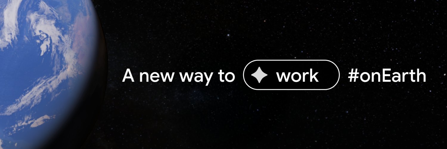
There's a whole new way to work on Earth. 🌎 https://t.co/itF2ioBLcG
Combining iconic imagery with professional-grade data, no-code tools, and Gemini capabilities, Google Earth empowers professionals to validate reality remotely, de-risk projects early, and make better, faster decisions.
For decades users across the world have trusted Google Earth’s ground-breaking imagery of the real world. In today’s world, decisions are moving faster than traditional analysis can keep up. Google Earth is evolving to meet this challenge and save you time at work.
Welcome home Reid, Victor, Christina, and Jeremy! 🫶
The Artemis II astronauts have splashed down at 8:07pm ET (0007 UTC April 11), bringing their historic 10-day mission around the Moon to an end.
🏗️ Site selection:
Prompt: "Visualize zoning information for Phoenix, Arizona."
The Magic: Ask Google Earth activates zoning data layers ready for you to filter and style for analysis.
Turn manual research into instant insights.
Try it out and let us know how Ask Google Earth is helping you save time.
(Note: Ask Google Earth is currently available in Experimental to US users on web).
Stop spending hours hunting down the right spatial data. Just ask for it. 🧠
Ask Google Earth is now directly integrated with our data layers. https://t.co/9rvm47wLph
Try these prompts now. 🧵👇
📍 Urban planning:
Prompt: "Map out the EV chargers, demand, and driveway counts near Jacksonville, Florida.”
The Magic: Ask Google Earth plots relevant charging points and adds contextual layers like EV Search Interest.