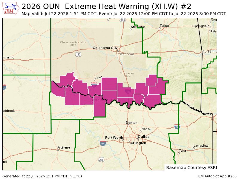
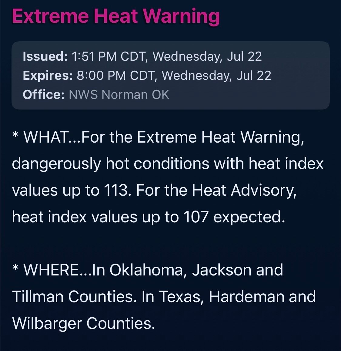
A few low rain chances the next couple days will bring us slightly cooler temps after today, with low rainfall chances. The hot/dry pattern holds into early September unfortunately. Updated 8-25-2026.
A few isolated, high-based thunderstorms possible today. Main concerns gusty winds and lightning that could cause fires given little moisture is expected from the storms that form.
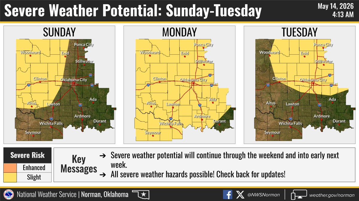
Hardeman County is in the slight risk level 2 of 5, for severe weather later this morning into the afternoon. Storms will move in from the north. 6-23-26
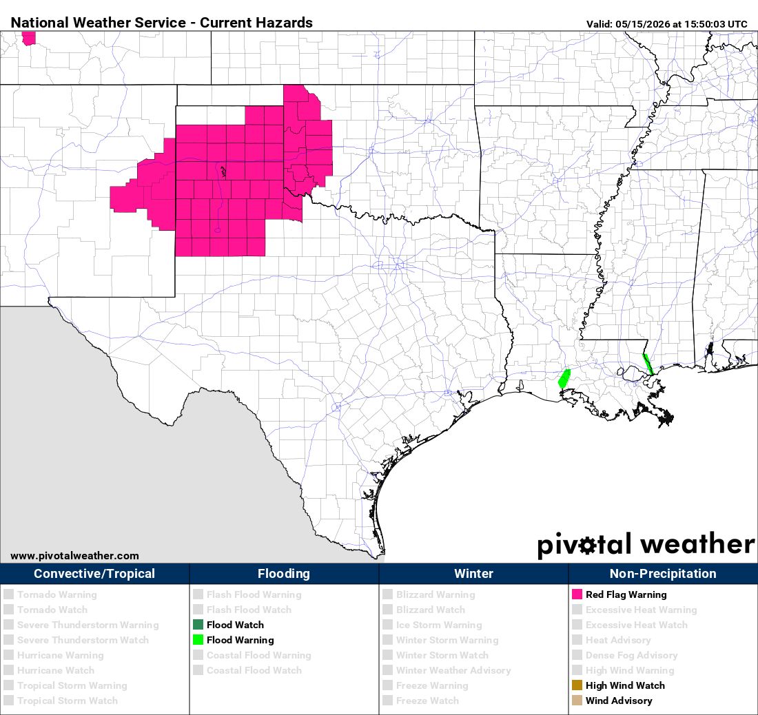
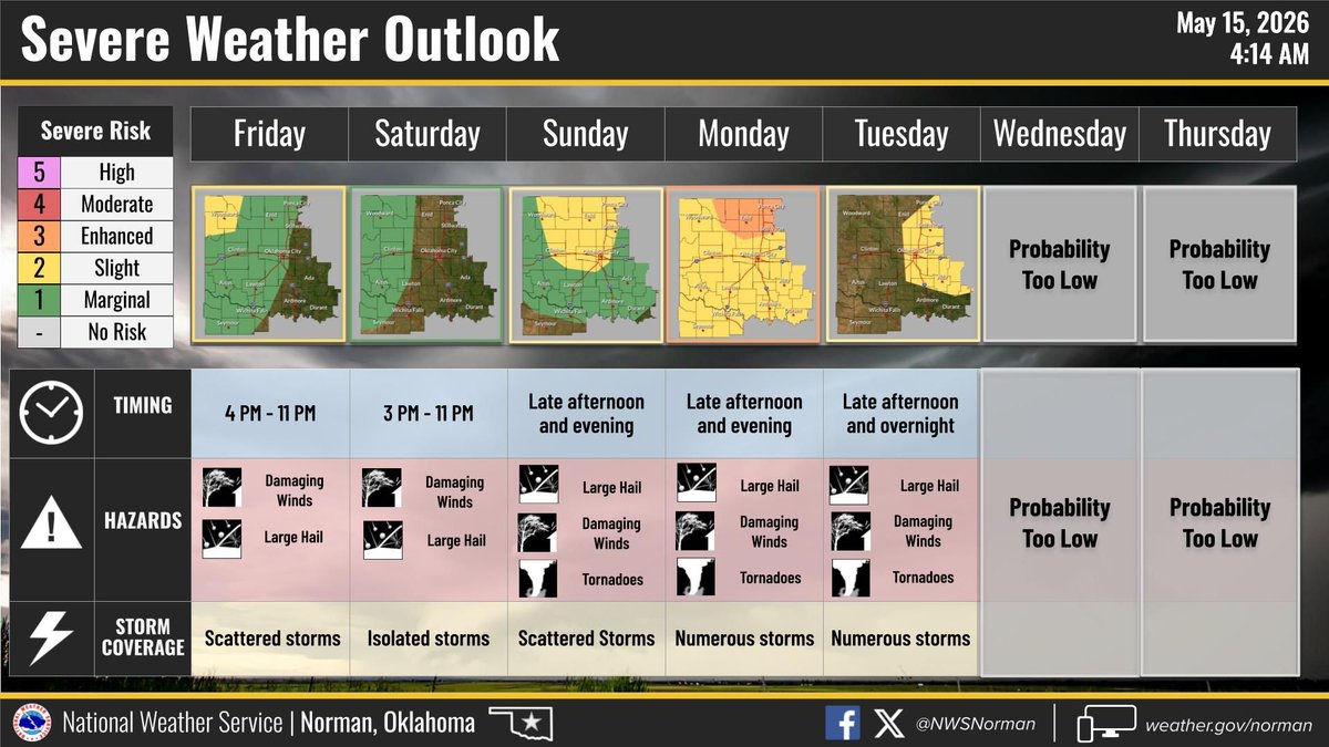
Hardeman county is in a Red Flag warning from noon until 10 PM today. Hot temperatures and low humidity will result in the elevated fire weather conditions. The heat may cause a few storms in the Panhandle with a 20% chance of them drifting into our county after 6 pm. 5-14-2026.
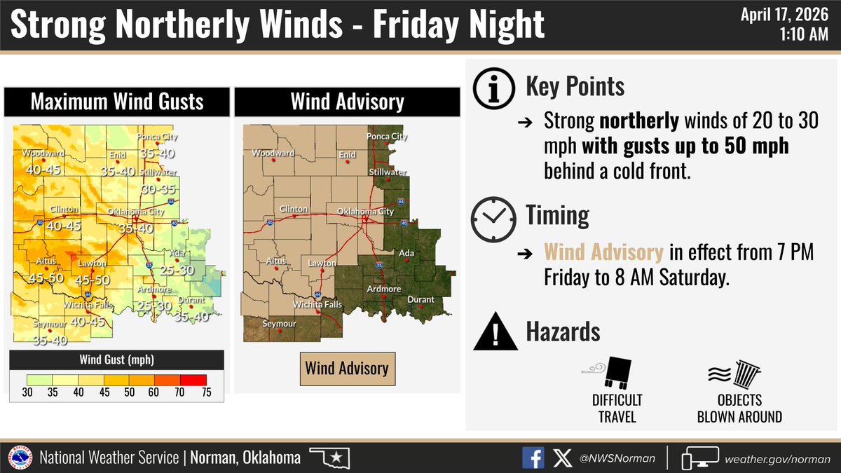
Hardeman County is on the edge of the Slight risk area for an isolated storm late today. Better storm chances to our east w/ fire danger here. A front arrives at midnight with wind gusts up to 45 mph, a wind advisory will be in effect. Cooler and dry this weekend. Post 4-17-26.
Hardeman county is in the enhanced (level 3/5) for severe weather later this afternoon with large hail and damaging winds the primary concerns. Posted 4-14-26.
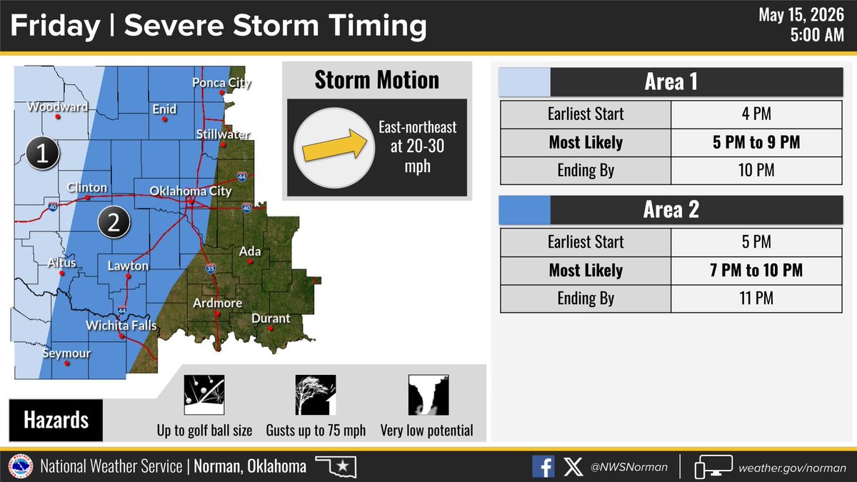
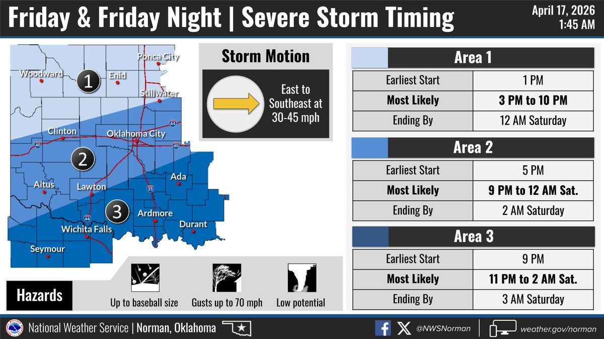
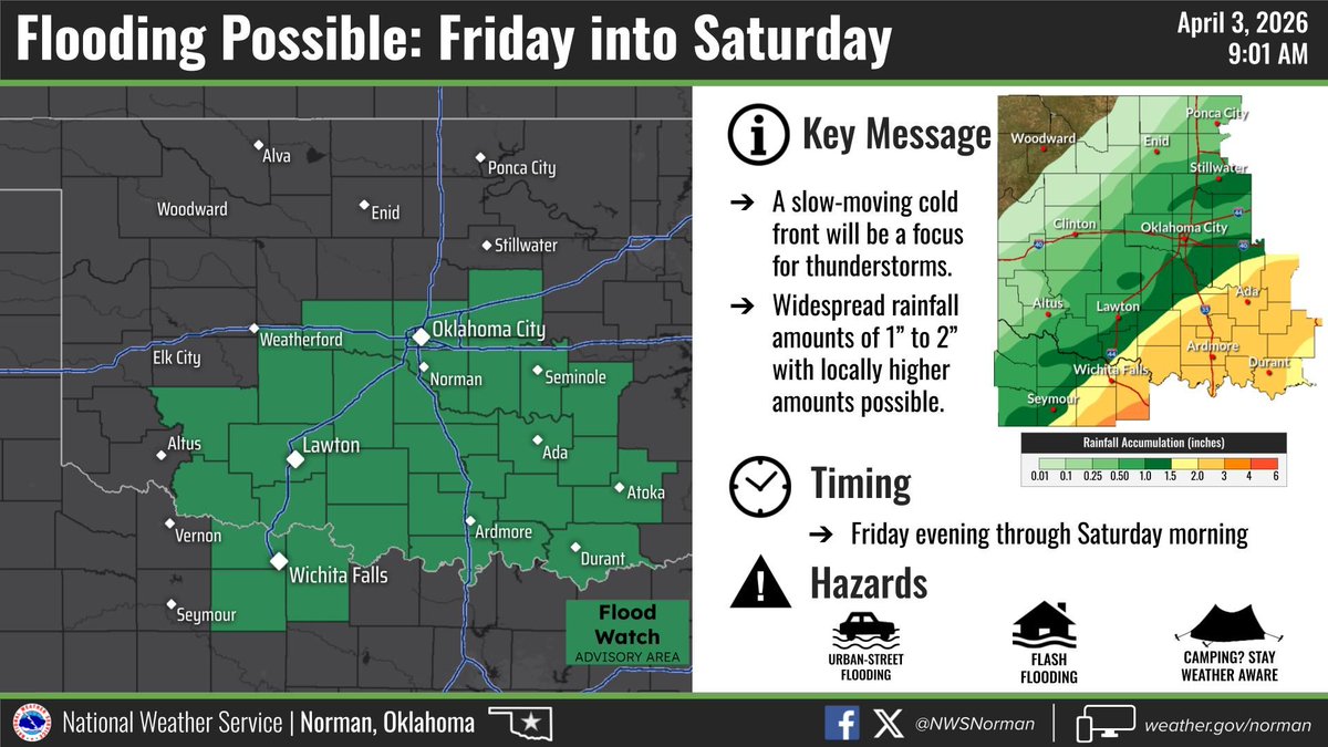
Hardeman county is in the slight risk (level 2 of 5) for strong/severe storms later this afternoon into the overnight hours. Gusty winds seem to be highest concern here. I've also included the timing graphic. Posted 4-3-26
Quick reminder, today April 2nd, is the date of the statewide communications tests, including Hardeman county. It's just a test, no severe weather in the area today. Posted 4-2-2026
Hardeman County is in the Enhanced (Level 3 of 5) for severe weather is afternoon, 4/1/26. All modes of severe weather are possible. I'll update the post as new info arrives. Posted 4-1-2026.
Hardeman county is in the slight risk (level 2 of 5) for later today. Wind & hail are primary concerns after 5 PM into evening before weakening. Another slight risk for Wednesday, perhaps focused just to our east. I'll post updates as new info arrives. Posted 3-31-2026
Friday will feature elevated fire danger and wind gusts near 50 MPH as a front blasts through. A few sprinkles could enhance the wind gusts. Peak winds during the morning. Posted 3-26-2027.
Warm temps and gusty winds will make fire danger critical across the county. A front will switch winds from southwest to north mid-day. Avoid any outdoor burning and report any fires you see to your fire department. 3-22-2026.
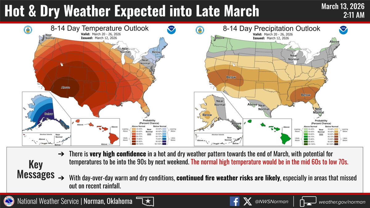
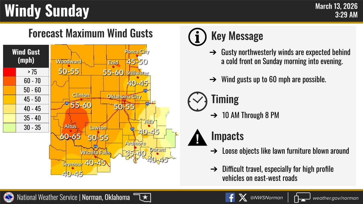
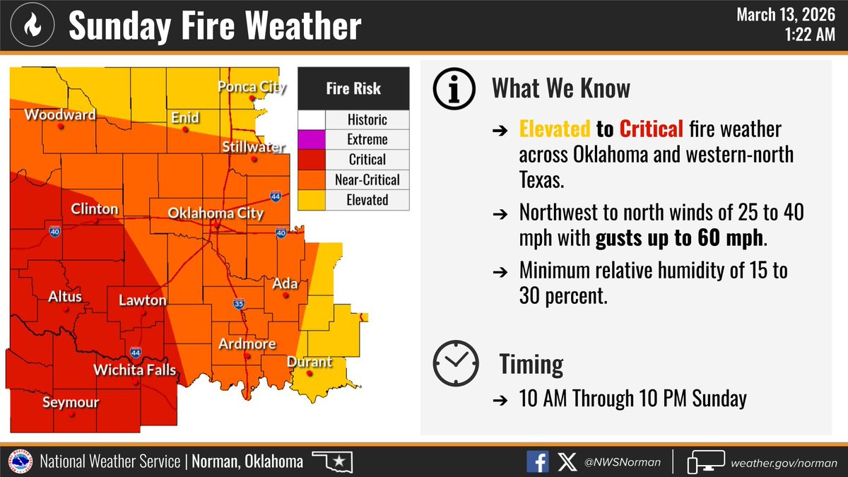
Fire danger looks to be high on Sunday, March 15th across the area. Wind gusts over 50 mph possible and a dry forecast for the foreseeable future. Please report any fires to your local fire department. Posted 3-13-2026.