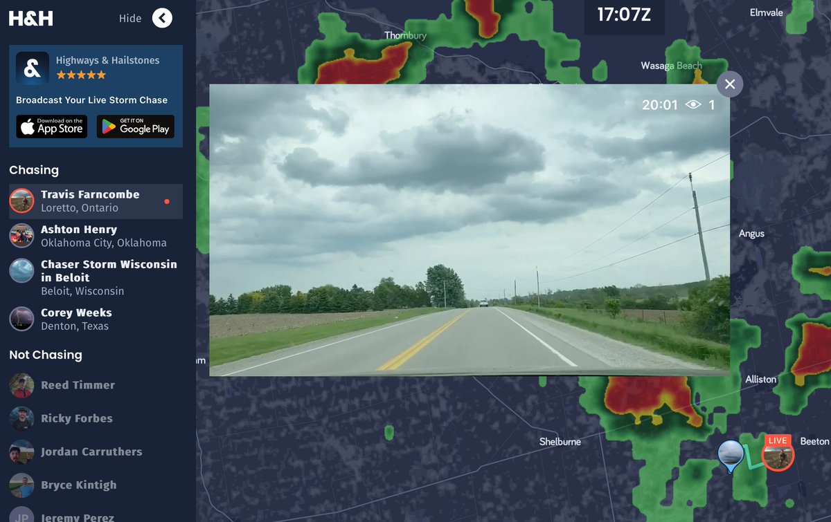
We are a global community of storm chasers. Our app makes it EZ to stream & document severe weather & our website allows everyone to join in on your adventures!
Going through footage and photos of the Greenfield tornado. At one point there were these subvortices that looked like a DNA Helix! This tornado will be studied for years! @ReedTimmerUSA@theScantman@localmanweather
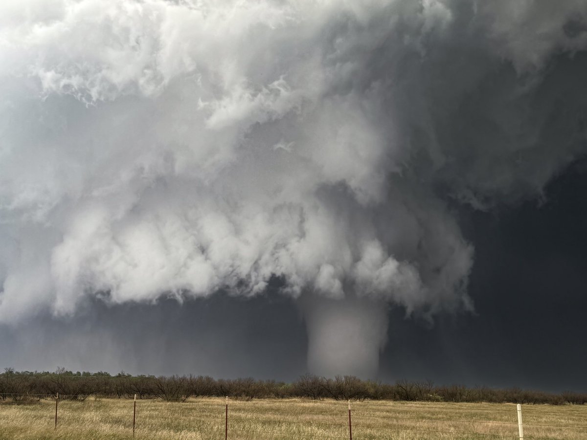
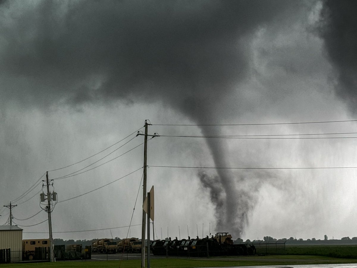
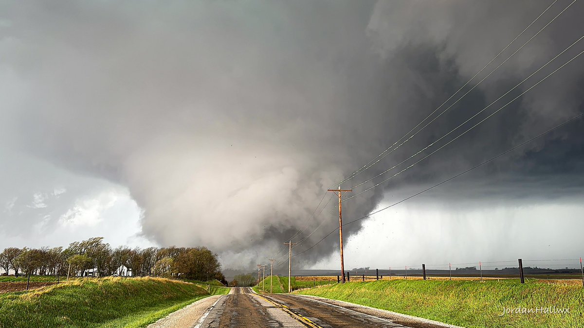
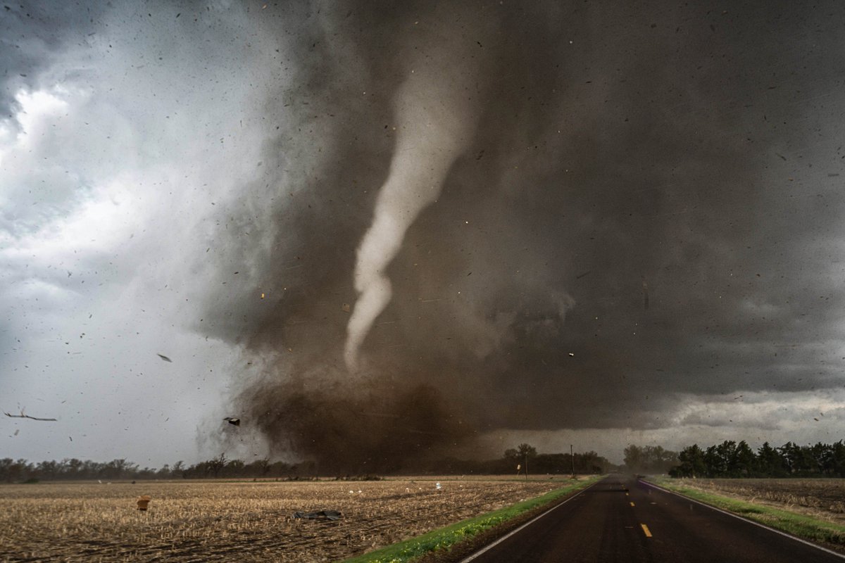
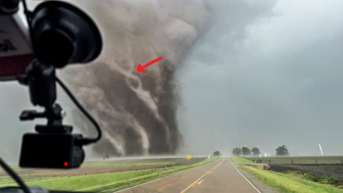
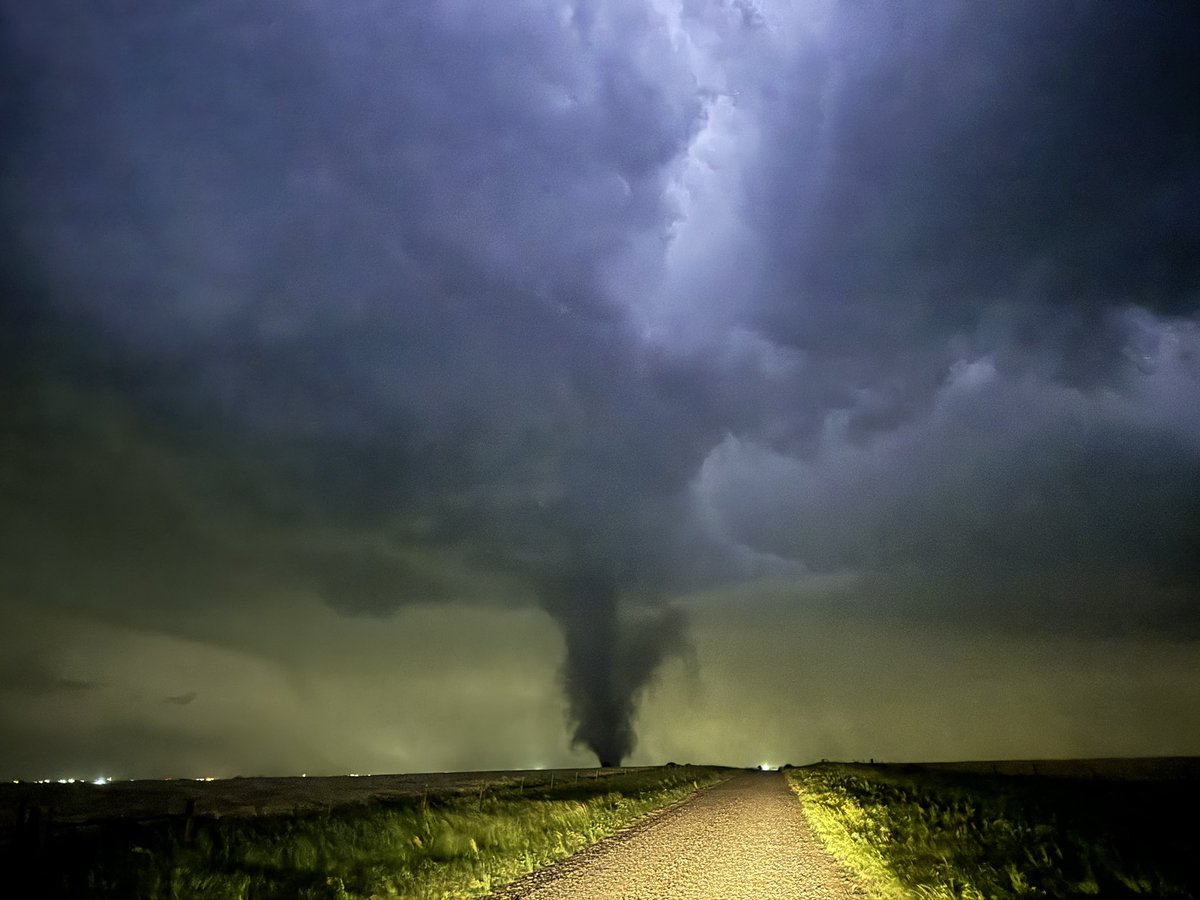
4 of my all-time favorite tornado shots:
1. Yukon, OK EF2 (5/19/2024)
2. Eldorado, OK EF2 (5/23/2024)
3. Little Rock, AR EF3 (3/31/2023)
4. Red Oak, IA EF1 (5/21/2024)
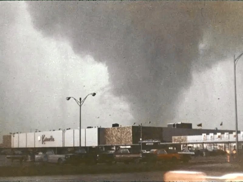
Throughout time, tornadoes have been one of the most famous phenomena to be documented on earth. Towards the middle of the 20th century, twister photography became much more common. So, In this thread, we will look at tornado pictures in every year from 1950-1975! #tornado
2024 was a grind of a storm chase season: 3 provinces, 11 states, 42,081 km, and 17 tornadoes! Excited to share more thrilling imagery from this year soon and looking forward to next year already!
Pure tornado ambience, and it’s twins! This year, my friend @ILWXTorSpotter found unbelievable footage showing these twin tornadoes from 5/9/95! With permission from him, i’m able to share it. The full video is in the replies! #tornado#wxtwitter
I'm on the road with an initial staging point of Harper, KS. HRRR anticipating some significant initiation in the area near 20-21zulu (3-4pm). All modes possible today with strong tornadoes. Live stream will be up later on @HighwaysHail with coverage on @KAKEnews. #KSWX
I'm on the road with an initial staging point of Harper, KS. HRRR anticipating some significant initiation in the area near 20-21zulu (3-4pm). All modes possible today with strong tornadoes. Live stream will be up later on @HighwaysHail with coverage on @KAKEnews. #KSWX
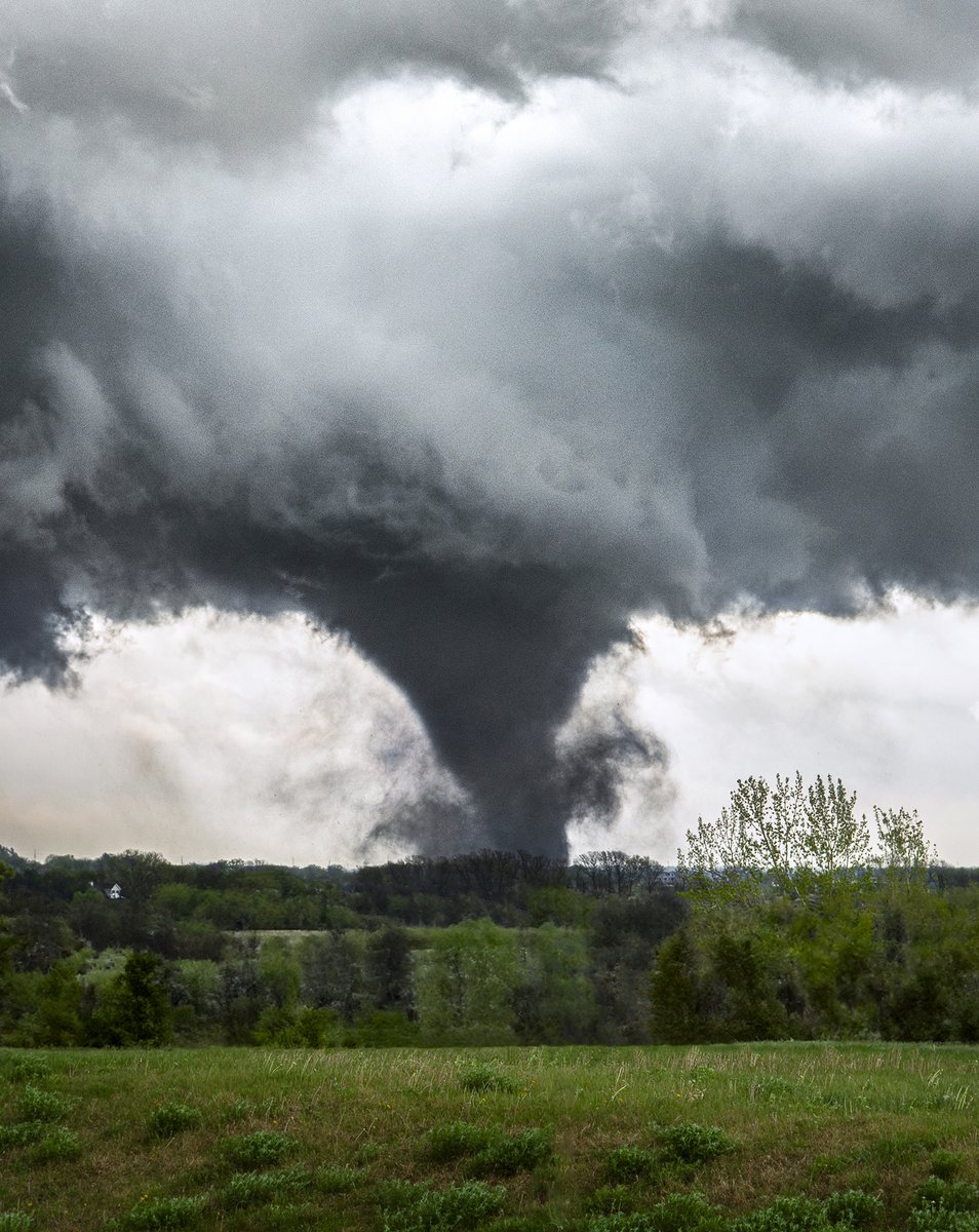
A powerful tornado tracks through the NE side of Lincoln, Nebraska on April 26th, 2024. This was my view from the West.
📸copyright Melanie Metz
#Tornado#twister#Nebraska#newx@GirlsWhoChase
New image of the Minden, IA tornado from Friday when it crossed over highway 880/I-80 and was moving northward. It quickly downscaled into a strong stovepipe tornado before returning to a wedge shape later as it headed towards Harlan, IA. #iawx
Not surprised at all with the EF3 rating for the Council Bluffs, Iowa #tornado intercepted on I29 with the Dominator 3 - I’ve experienced a few hundred strong tornadoes from close-range, and the roar is very distinct every time. I use my ears to gauge intensity more than eyes
After watching the Lincoln, NE violent tornado this second tornado crashed to earth while it roped out and intercepted at close range North of Waverly, Nebraska taken at 14mm with my @Sony A7R V #NEwx
The key to intercepting a #tornado with an HP supercell is to have an intimate relationship with the occlusion process. The storm will give you visual clues when it is about to produce a tornado. The occlusion process that led to the New London, IA tornado is shown here
Now that we have a break in severe weather, here's another Texas shot. This tornadic, GORGEOUS supercell was from May 23, 2016 near Northfield. Jaw dropper! #txwx