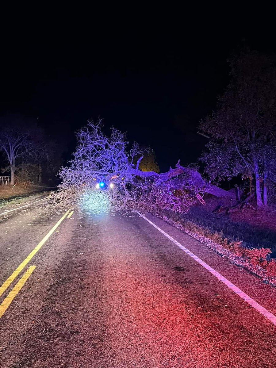
Goodmorning folks, I cannot believe how centered the enhanced risk on the Houston metro—its hard to get any more “perfect” than this.
Storm activity will ramp up throughout the morning and into the afternoon. ⛈️ Stay on high alert! 🚨
-Again, the main risk is tornadoes
#txwx
Tomorrow will be a precarious situation while the Houston radar is down for maintenance.
- The risk is driven by tornadoes. 🌪️🌪️
- Folks I do not like this situation and everyone should stay on high alert. Storms may have less warning than usual with this setup.
#txwx#setxwx
Good morning folks, its finally time again ⛈️👀
After what seems like an impossibly long hiatus, severe weather is back to our backyard tomorrow (Monday)‼️
HOWEVER, It is possible many of us in SE Texas miss out on the action. More on this later...
#setxwx#txwx
Alright folks. Cold weather has been teased a couple of times this fall but nothing compares to tonight’s cold front ‼️🥶
High temps today in the upper 80s? Ha, Try upper 40s, as a HIGH. This is a helluva front, folks.
Low temps could reach the 30s! ❄️❄️❄️
#setxwx#txwx
I am now confident that a line of storms will enter our western counties within a few hours!!
-HOWEVER, models have this line dissipating somewhere over the Houston metro. So depending on where you live, rain will be hit or miss.
(HRRR 8PM)
#txwx#setxwx
❗️☔️ Heads up folks! Thursday is looking to be the wettest day of the week while a line of showers could develop in and around our counties.
Current models are favoring our western side rather than our east, but theres still uncertainty! ⛈️🤞
#txwx#setxwx
Evening Update:
We currently have light showers 🌧️pushing into our coastal areas south of Houston.
Showers expected to crawl across the metro overnight and into tomorrow. Nothing expected to be strong by any means.
Rain is rain 🤷♂️ ☔️
Small rain update… ☔️🌧️
- Rain chances begin on Monday and should last pretty much all week.⛈️
- Confidence of rain totals are low and nothing is set in stone yet.. Just know that models are favoring our northern counties as of now.
Stay tuned!
#txwx#setxwx
❗️I’ve revived the channel to share some exciting news:
-Potential very wet period ahead!⛈️🤯
-Timeframe: 6-10 days out⏰
P.S. I might start posting again because I honestly miss giving yall forecasts/outlooks. -Sebo
#txwx#setxwx
Following recent news about WxHunain leaving twitter…
This account will now shut down too. Thank you to everyone who followed and please follow NWSHouston for future local updates.
-Sebo
#wxtwitter#txwx#setxwx
This is our first strong signal for above average precipitation in a while!!🥳 (6-10 days out)
P.S. - Models are hinting at a cold front arriving sometime late next week 👀⛈️🥶
#txwx#setxwx
Strong storms in the area. Lots of lightning with these bad bears ⚡️⚡️
Anyone under a severe thunderstorm warning stay indoors in an interior room!
#txwx#setxwx
Heads up tonight SE texas‼️
-> Lingering storms ⛈️ from tonight’s setup in North Texas could bring strong to potentially severe storms overnight and into tomorrow morning for our area. Keep weather alerts on while you sleep 👀⚡️