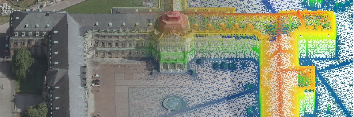
Amazing what can be done by computer vision already now. E.g. see this work by RGL @EPFL_en and imagine the use of this in real-time #navigation applications. We are looking forward to what comes next …
https://t.co/BHdSvXGuGR
Das ifp bot Schüler:innen des Wagenburg Gymnasiums die Möglichkeit, in die Welt der Vermessung und 3D-Modellierung einzutauchen. Vielen Dank an die SIA 2023 für die tolle Zusammenarbeit und das Engagement.
https://t.co/pVtlGHySJr
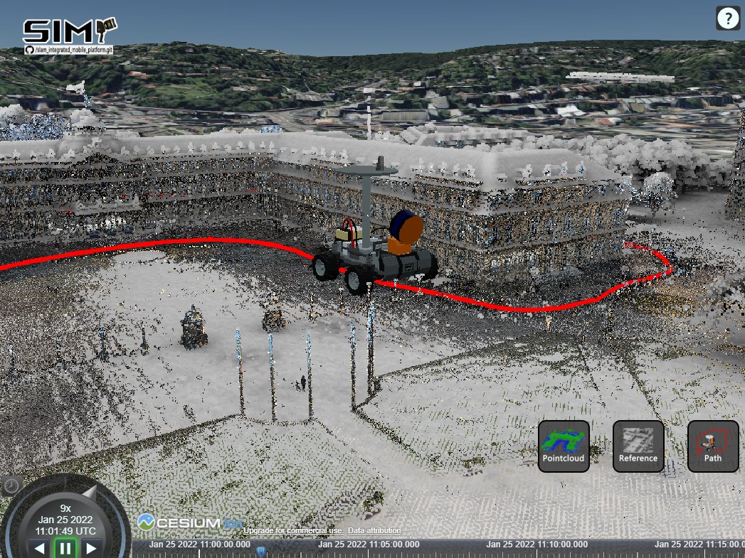
In @Uni_Stuttgart's @IfpStuttgart MSc. in geomatics engineering, students learn to use Cesium and other tools to visualize spatial data. The SIMP Viewer you see here is entirely student built: https://t.co/benPuK0Gqg
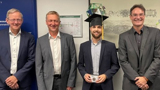
Glückwunsch an unseren Kollegen Dominik Laupheimer, der am 9. September 2022 erfolgreich seine Doktorarbeit verteidigt hat. Das Thema lautete: On the Information Transfer Between Imagery, Point Clouds, and Meshes for Multi-Modal Semantics Utilizing Geospatial Data
A collaborative master students project supervised by @UniStuttgartNAV and ifp that integrates a mobile mapping platform with multiple sensors for generating geo-referenced point clouds.
@stuttgart_stadt@Uni_Stuttgart
A collaborative master students project supervised by INS and ifp that integrates a mobile mapping platform with multiple sensors for generating georeferenced point clouds.
https://t.co/IdZ3uFR6vo
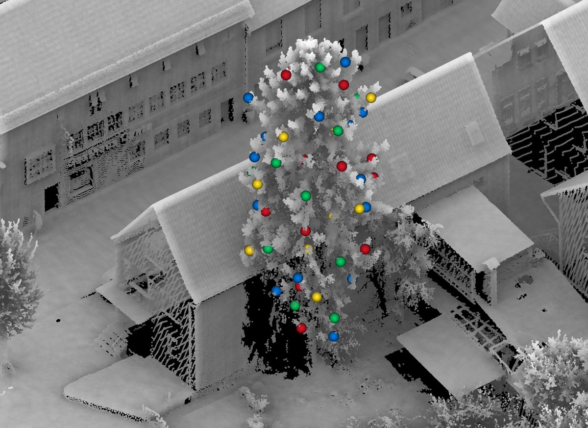
Merry Christmas!
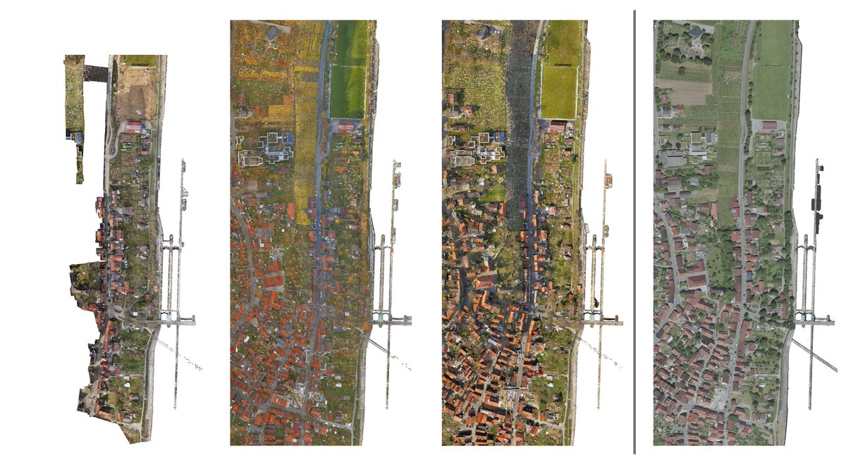
From today on H3D benchmark becomes multi-temporal. A total of 3 more epochs H3D(PC) is now ready to be downloaded with clear leaderboards for additional epochs waiting to be filled.
https://t.co/TEMLPnLxmV
Autonomes Fahren: »Kameras können mehr als das menschliche Auge« Tesla verlässt sich allein auf Kamerabilder. Der Rest der Branche hält Extratechnik für nötig. Norbert Haala von der Uni Stuttgart erklärt, was die Hilfsmittel können.https://t.co/oJRhOFze2K via @derspiegel
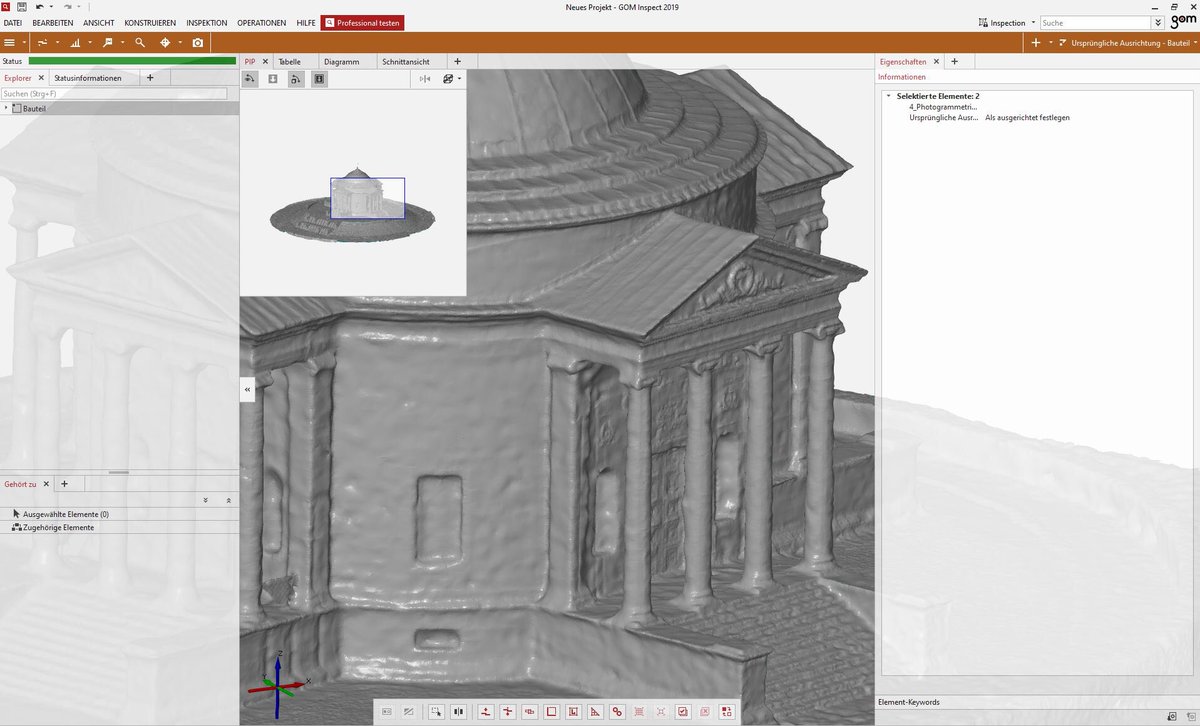
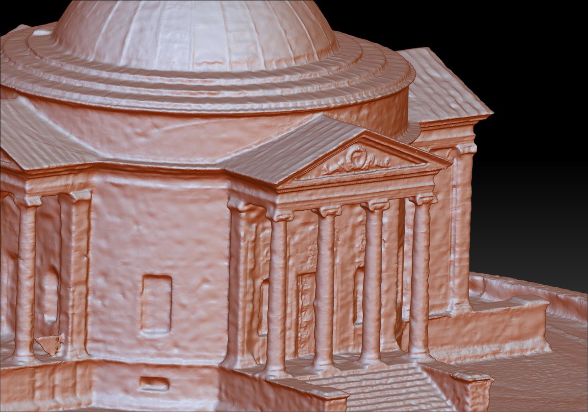
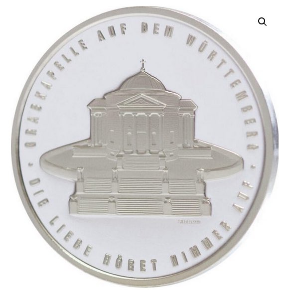
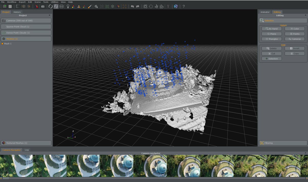
Photogrammetry for the efficient reconstruction of the burial chapel on the Württemberg. On the reverse of the medal, the burial chapel on the Württemberg is depicted. The motif was created by photogrammetry using drone images in cooperation with ifp. https://t.co/vR7wqHk8yQ
The image on the cover page shows a LIDAR point cloud used during the benchmark Hessigheim 3D.The upper part of the image is colourized according to the Number of Returns for the reflected LIDAR pulses, the colour of the points in the lower part results from the class labels.
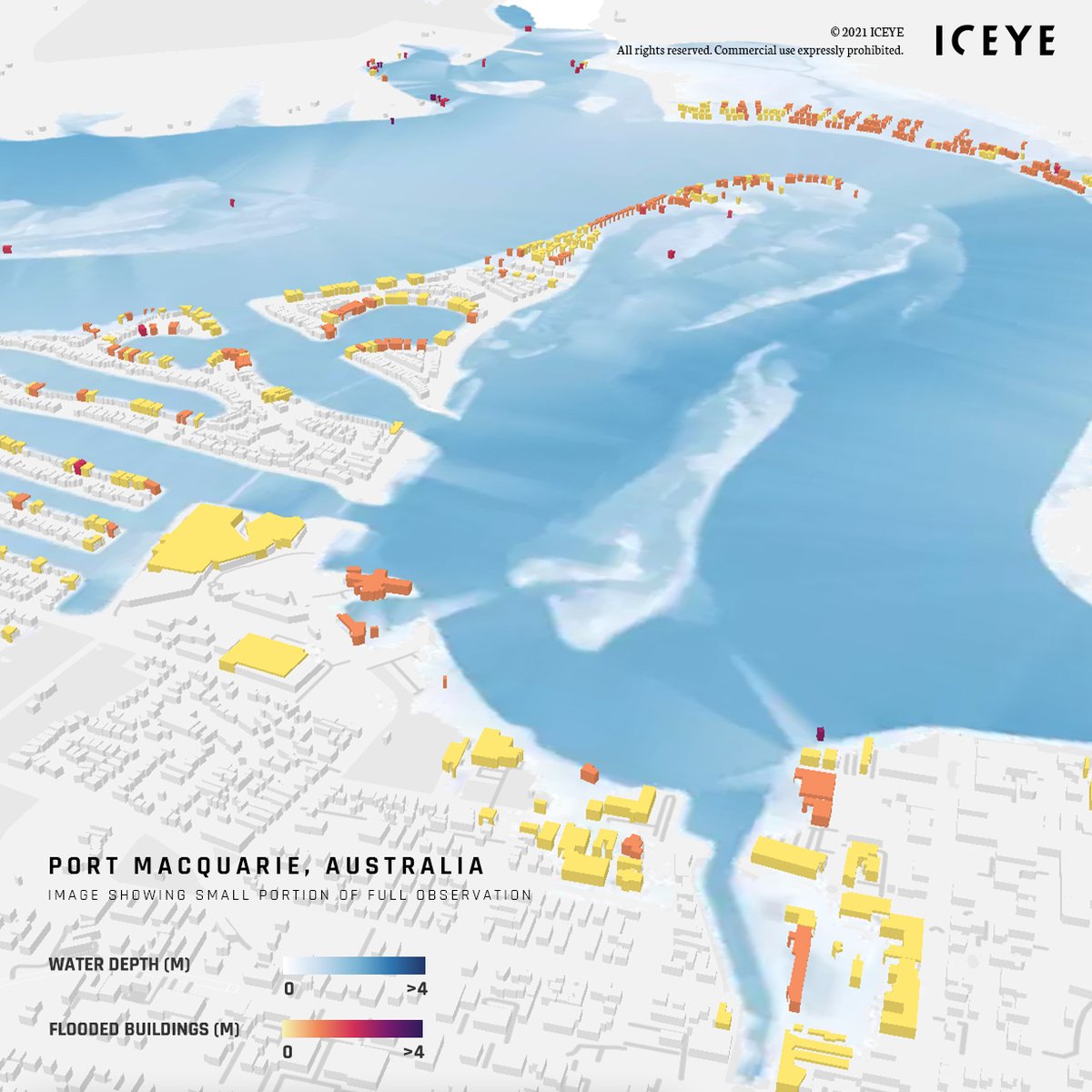
Taking immediate action on the historic flooding in Australia, ICEYE provided customers with building-level flood extent and depth 24 hours after the initial flood peak to support damage assessment and disaster response. Stay tuned for updates!
#insurance#floodinsurance#natcat
We are happy to announce the release of a unique benchmark on semantic segmentation of 3D point clouds and meshes.
It can be used by interested researchers to test methods and algorithms on semantic segmentation.
https://t.co/rZXgkULtYO
#H3D@Uni_Stuttgart