Webinar today at 2pm ET — access water data faster with Geoconnex Explorer!
The tool connects information from waterways, making it simpler than ever to discover critical #WaterData.
We’ll highlight current capabilities, share what’s next, and more!
https://t.co/SWHwDTo6QU
There’s still time to register! Join our webinar today at 3pm ET to learn about the new @USGS_Water APIs. We'll go through new features, and when and how to migrate your workload from legacy APIs so you don’t miss a beat.
Register now: https://t.co/FalalFQutM
Webinar alert: @USGS_Water APIs are getting an upgrade!
Join us August 20 at 3pm ET to get the scoop on what the updates mean for you. We'll cover everything to know to transition from legacy services to the new APIs.
Register now: https://t.co/gNW752kZDY
Geoconnex Explorer is years a huge step towards our vision of a connected #WaterData future — but what does it mean for our users?
How should they use it, what can they find, and where will Geoconnex go from here? We’ve got answers in our in our new blog: https://t.co/KOofvK889N
Discover river data across the US with Geoconnex Explorer!
After years of behind-the-scenes building, we’re excited to announce the first public data tool built on the Geoconnex system. Dive in to start discovering data to answer water-related questions: https://t.co/U6UVv5bu5t
A list like this can feel daunting, but behind every river are countless advocates working to protect it.
From cleaning up polluted waterways to strengthening #WaterQuality data systems, there are efforts offering real hope for the future of our rivers.
https://t.co/Ntd9a7lgHJ
Miss our latest webinar? Check it out on YouTube! Get the latest demos of upgrades the Radical Open Science Syndicate made to the EPATADA package and how they make working with #WaterData from the Water Quality Portal easier than ever.
Watch now: https://t.co/J8RUBNd0Q5
Our most popular article in last month’s newsletter was a blog about the inter-agency and organization collabs that are advancing #FHAB monitoring in CA!
Interested in hearing more #WaterData stories? Sign up now before April’s newsletter hits inboxes! https://t.co/E7C1Av0DCT
#OpenData is at it again! In a new study, researchers used open data from @USGS to understand temperature patterns and fluctuations in rivers. This research will be used to help environmental, dam, and agricultural management as the climates change.
https://t.co/8kvvqHqtKz
When we talk about connecting #WaterData, we’re really talking about connecting the people behind it.
In our latest blog, we go behind the scenes of a recent workshop and what it takes to turn conversation into collaboration.
Read more: https://t.co/5OGltLYo0b
There’s still time to register!
Today at 3:30pm ET we'll dive into recent upgrades to the Water Quality Portal (WQP) made by the Radical Open Science Syndicate.
Join us to learn about querying WQP, converting the data, and more!
Register now: https://t.co/6vwFQ1jr94
Big news for anyone working with the Water Quality Portal: it’s getting a powerful upgrade!
On 4/14 at 4pm ET, Matthew Brousil from the Radical Open Science Syndicate will introduce the brand-new EPATADA R package, an EPA collab.
https://t.co/6vwFQ1jr94
Happy #InternationalOpenDataDay! We’re thankful for all of our partners who create strategies and technology to empower us to share #WaterData across geographic and organizational boundaries.
New to open data? Check out our blog and other IoW resources:
https://t.co/Wb5ZGnqCD1
Looking to keep up with the #WaterData community? Check out our Connect the Drops Newsletter!
Each month, you'll find project updates, events, job openings, and more. Sign up to stay up to date with the latest news from across the IoW Coalition!
https://t.co/S3u4OmK85g
Apply to the US Water Prize by 2/12!
We’re proud to work with partners doing innovative work in the water space. From modernizing water data infrastructure to outreach and education, we’re excited to celebrate how you’re transforming water management!
https://t.co/WwmBqKfIAY
The IoW is working across borders!
We joined global partners in Cairo for a pivotal session on ‘Policy and Technical Solutions for Water Data Diplomacy and Exchange.’
Read the full after-action report for key takeaways:
https://t.co/gI5KtDwzPl
#CairoWaterWeek
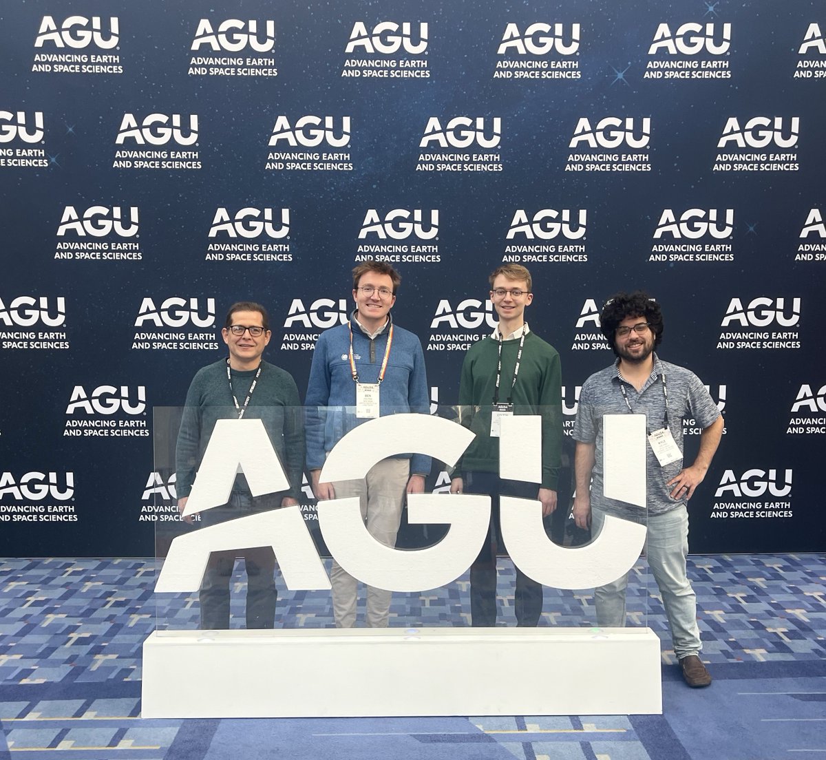
@CGS_Earth team members went to #AGU24 to present on the challenges, successes, and lessons we’ve learned on the journey to create Geoconnex, a digital commons for sharing water data.
Learn more about the Geoconnex system: https://t.co/Gmi0i79rya
The best policies are informed by data, but accessing that data is difficult for several reasons including challenging UIs.
We created policy recommendations with Colorado State University’s Ross lab to help prioritize open-source development.
Read more: https://t.co/yCZazE0MeE
Utilities that lack comprehensive data and GIS expertise can struggle to meet EPA lead service line deadlines. We're committed to closing the technological gap.
Explore our service line tools and EPA policy recommendations in our latest policy brief: https://t.co/Rs4Hd91vFk
Why does public #WaterData matter? What's the ROI of making water data accessible?
Our latest blog post explains how Geoconnex—the data commons bringing the IoW to life—helps organizations unlock the full potential of their water data.
https://t.co/Wb5ZGnq4Nt