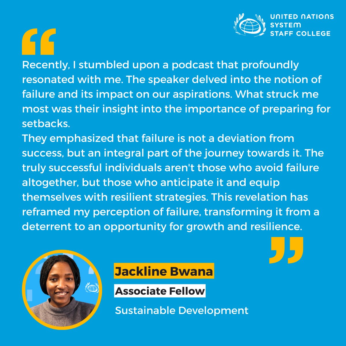
✨ In our ongoing series of learning from colleagues at UNSSC, @JacklineBwana shares an insightful takeaway from a recent podcast. Emphasizing the importance of preparing for setbacks and seeing failure as a stepping stone to success. 🎧💡
#UNSSC#UnleashYourPotential
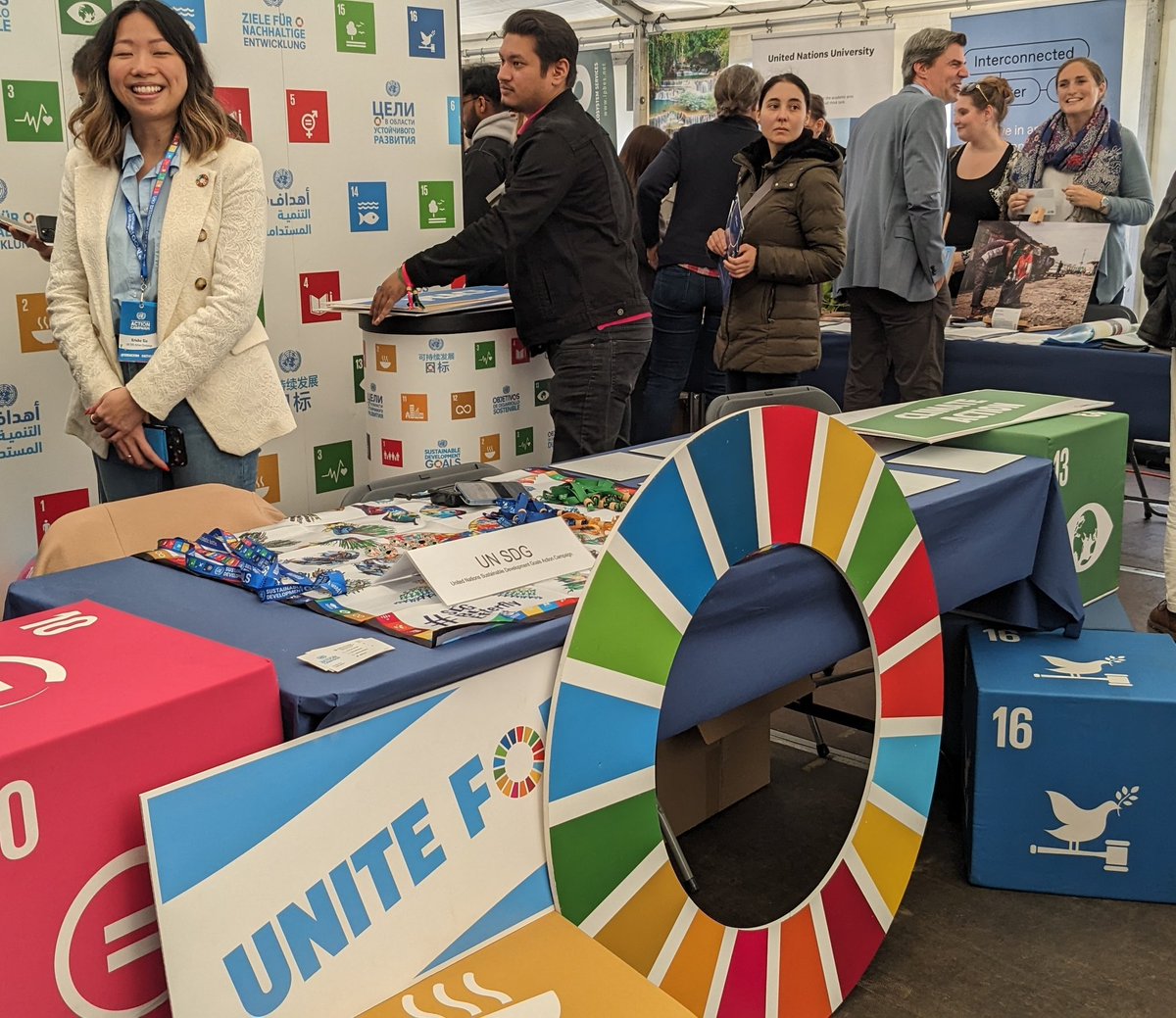
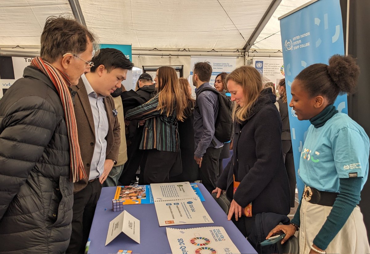
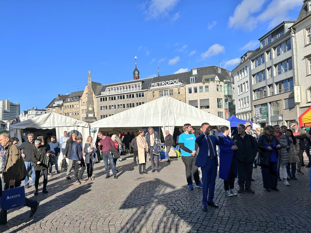
It's #UNDay in #Bonn and we are thrilled how many joined us to connect and explore the work of all our different @UN-organizations at @UNBonn!
Thank you for visiting mayor @katjadoerner of @BonnGlobal, it was a pleasure!
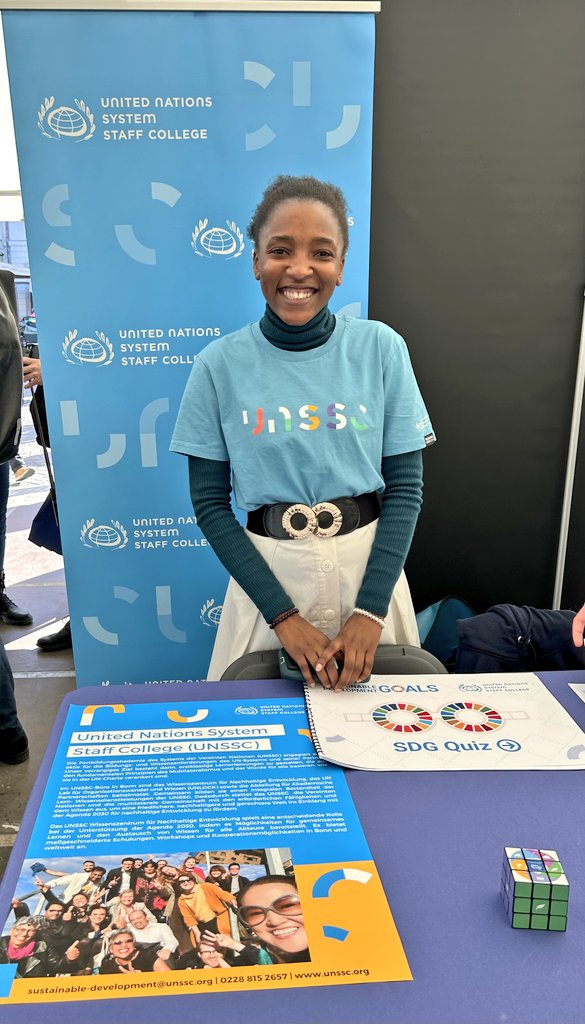
Herzlichen Dank an alle, die an den #UNDay Feierlichkeiten teilgenommen und heute den @UNSSC Stand am Marktplatz besucht haben! Erfahren Sie mehr über das Lernen für eine nachhaltige Zukunft unter https://t.co/Qq4LwssEwt.
#SDGs#Nachhaltigkeit#UNBonn
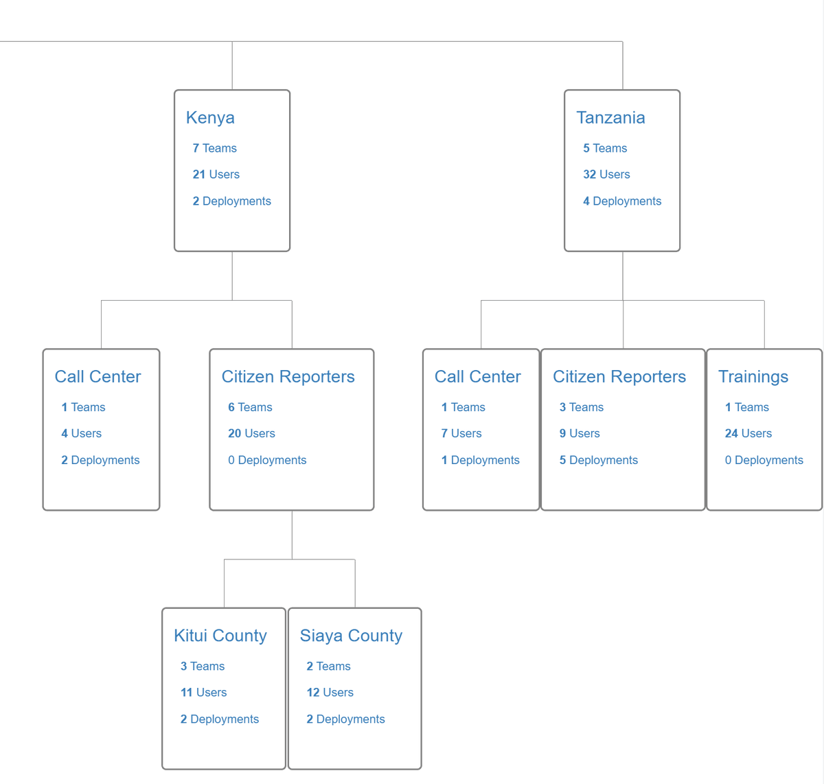
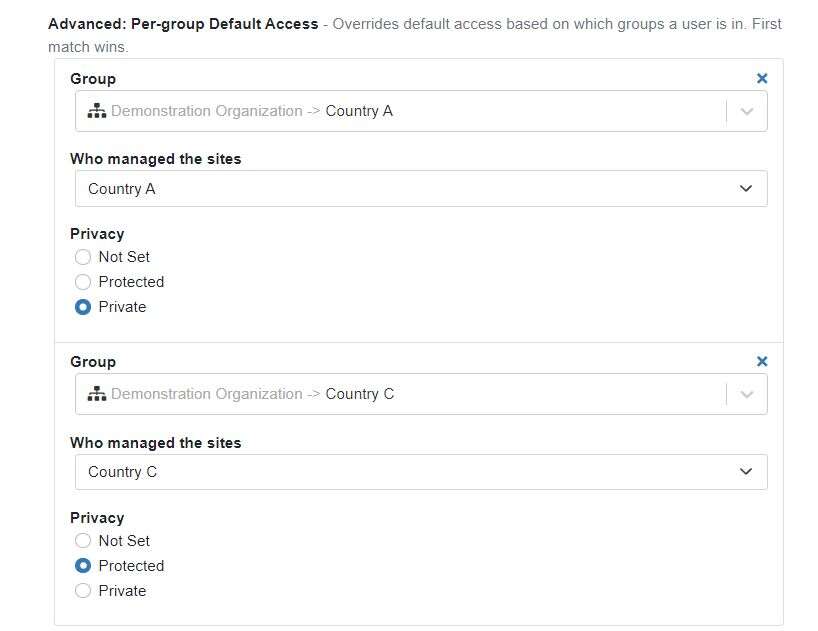
Hello, mWater custom config partners! You have a shiny new feature in your config options. Check out per-group default access to set custom permissions by each branch of your org chart:
https://t.co/lgZvOPgfqO
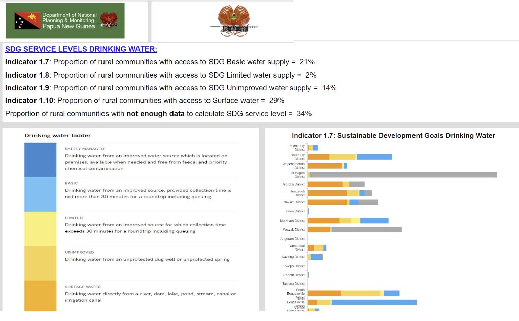
Up-to-date WASH data is used to inform targeted investment to progress and sustain SDG 6 in Papua New Guinea with the government-led @mWaterco-based MIS
#UNWater2023Conference
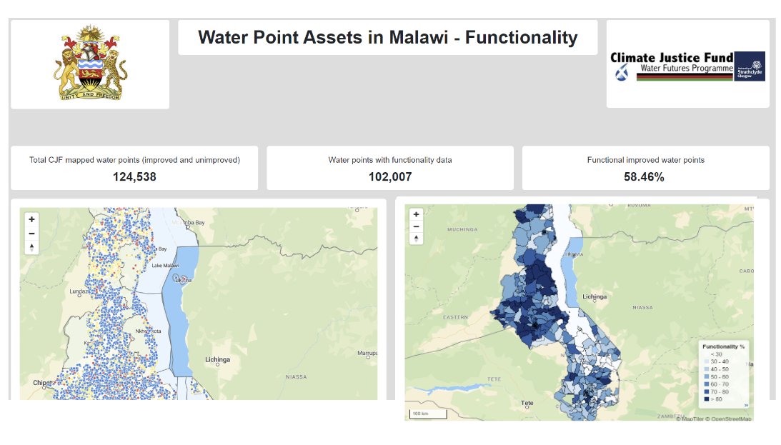
Malawi's water points and systems are monitored with a national MIS developed on @mWaterCo for evidence-based planning, budgeting and sector coordination.
@MalawiGovt@scotgov#UNWaterConference2023
Learn more about the platform: https://t.co/SgT1oiiJeP
Data for Government Decision-Making by #mWater's @rocketboy76
Building real-time government data systems instead of conducting one-off data collection exercises.
https://t.co/UjzW123OSf
#UNWater2023#UNWaterConference2023
🧭 Our new, snappy navigation in #mWater puts Sites to the forefront - the easiest way to map water infrastructure, share key information with other stakeholders, and track data sustainably over time.
https://t.co/sjwLr2hJu2
#SDG6#WASHData#Water#Mapping#GIS
Consoles in https://t.co/iaj5en92Jr are a great way to bring together your dashboards, maps and data.
Now you can also quickly duplicate existing tabs to create views by country or theme.
Here's an example showing mapped water wells by country.
#WASHData#SDG6#GIS
mWater's journey to half a million water points mapped.
Use it for free for your WASH monitoring, mapping, and management needs: https://t.co/sjwLr2ihjA
#SDG6#WaterData#Flourish
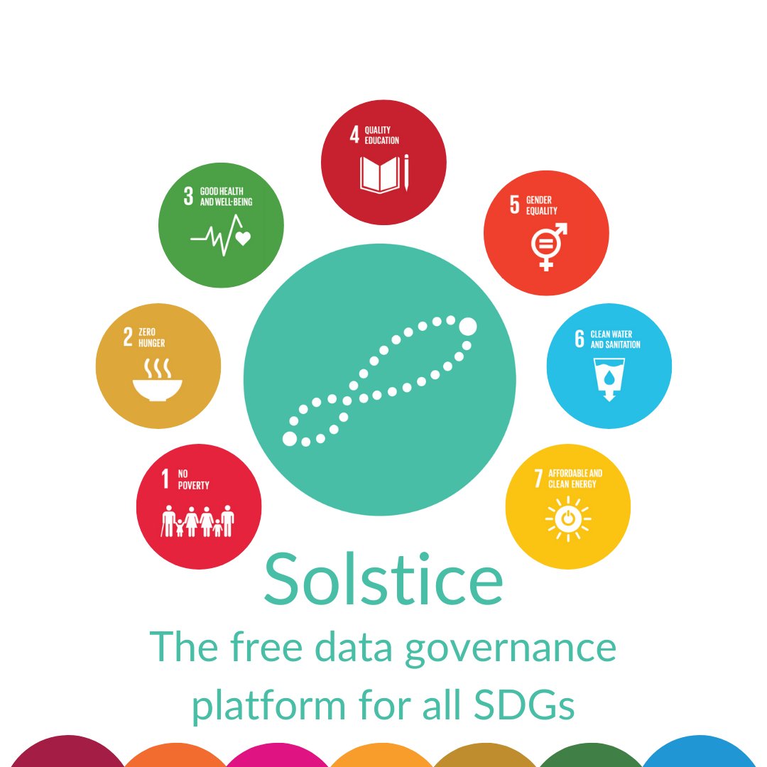
Solstice takes the powerful, free data management features of #mWater and opens them up for all SDGs.
Collect, map, manage and visualize survey and infrastructure data at any scale - try it out: https://t.co/BWtjlePFhh
Learn about mWater's new asset systems onsite today at 2pm, or online at https://t.co/MmN2U7glj2
Addressing the gap in professionalising water utility data management in low-resource contexts with a free and scalable solution.
https://t.co/64rVQ9m17E
#WWWeek2022#WWWeek
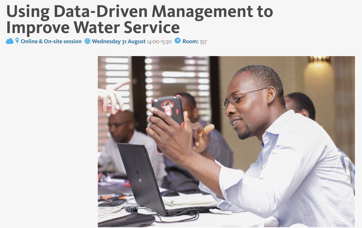
Scheduling your #WWWeek? Come to mWater's session on @USAIDWater & Sanitation Program in Haiti! Wednesday aty 2pm. @rocketboy76 John Feighery is demonstrating DINEPA's national monitoring MIS & the global open source asset standard.
@USAID@DAIGlobal
https://t.co/i8aAAQAcTp
Want to manage WASH data at scale?
𝗢𝗿𝗴𝗮𝗻𝗶𝘀𝗮𝘁𝗶𝗼𝗻𝘀 in #mWater make it easy to handle data processes at local, regional, national, and even international levels.
(Plus, use at any scale is free.)
Learn more here:
https://t.co/AYTR6EURpM
#WASHData#Mapping#SDG6
Have you tried https://t.co/BWtjleP7rJ? It's our free, scalable platform for tracking and managing SDG (or any other) data.
The app is available in 21 languages, and you can translate any surveys you create into any language you want.
Building WASH analytics in #mWater?
You can now combine data fields with our new Concatenate-expression -- part of our repertoire of functions you can use to display precisely the data you want to show.
https://t.co/fLRgrV0deW
You can now swiftly bring your existing survey designs into mWater and Solstice by importing them through a basic spreadsheet, or by using XLSForms (https://t.co/JG5wFvbQIE)
https://t.co/sjwLr2hJu2
You can now efficiently clean the WASH data you collect in mWater with a Find/Replace function in the Detailed View section within the Survey -> Responses page.
This means you can fix common mistakes in bulk instead of doing it one response at a time.
https://t.co/doyYwe1o1b
Using sites in mWater? Now you can easily view them on satellite map layers in the mWater Portal and check that the location makes sense https://t.co/sjwLr2hJu2