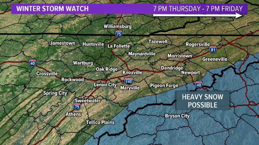
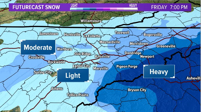
WINTER STORM WATCH issued for the MOUNTAINS (7 PM THUR - 7 PM FRI) | The next storm system will spread moisture in the form of rain changing to snow across our region Thur night into Friday AM. Heaviest snow is expected across the higher elevs., with light amounts in the Valley.
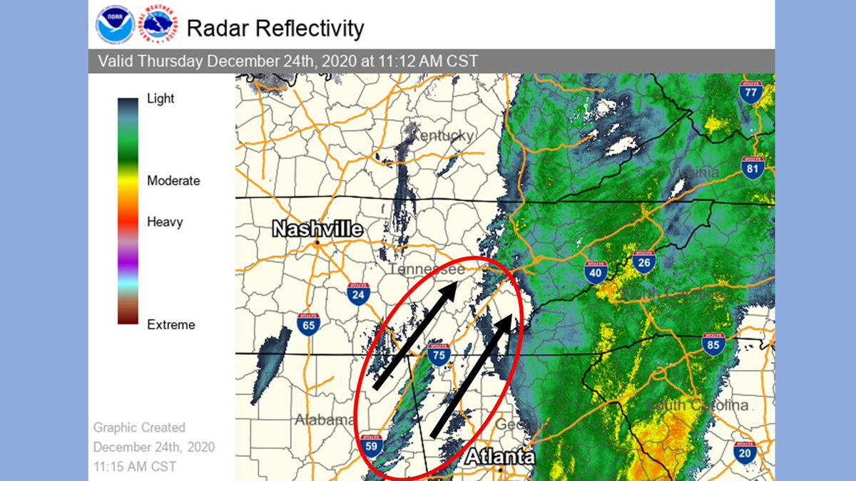
Don't be fooled! Though it looks like the rain is moving out of East TN, the area circled in red is where additional precipitation will develop and spread northeast into the area this afternoon in the form of snow! Our current forecasted snow totals remain on track as of now.
In celebration of the much needed return of football, here’s a #FBF shot of @GrahamandCoke socially distancing himself via the inside zone in Hamblen Co., back when they still played ball on grass.
@RealLife_J_LO I’ve been trying to talk Chesney into getting an old burb. What better way to haul your family around than in an absolute TANK from the 80s