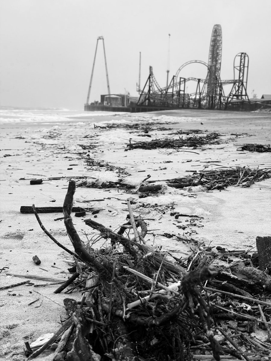
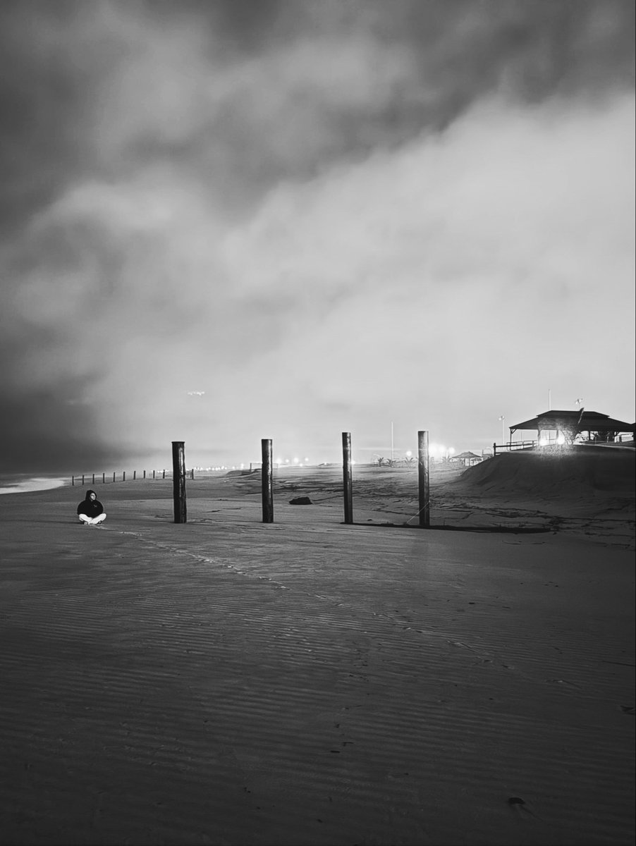
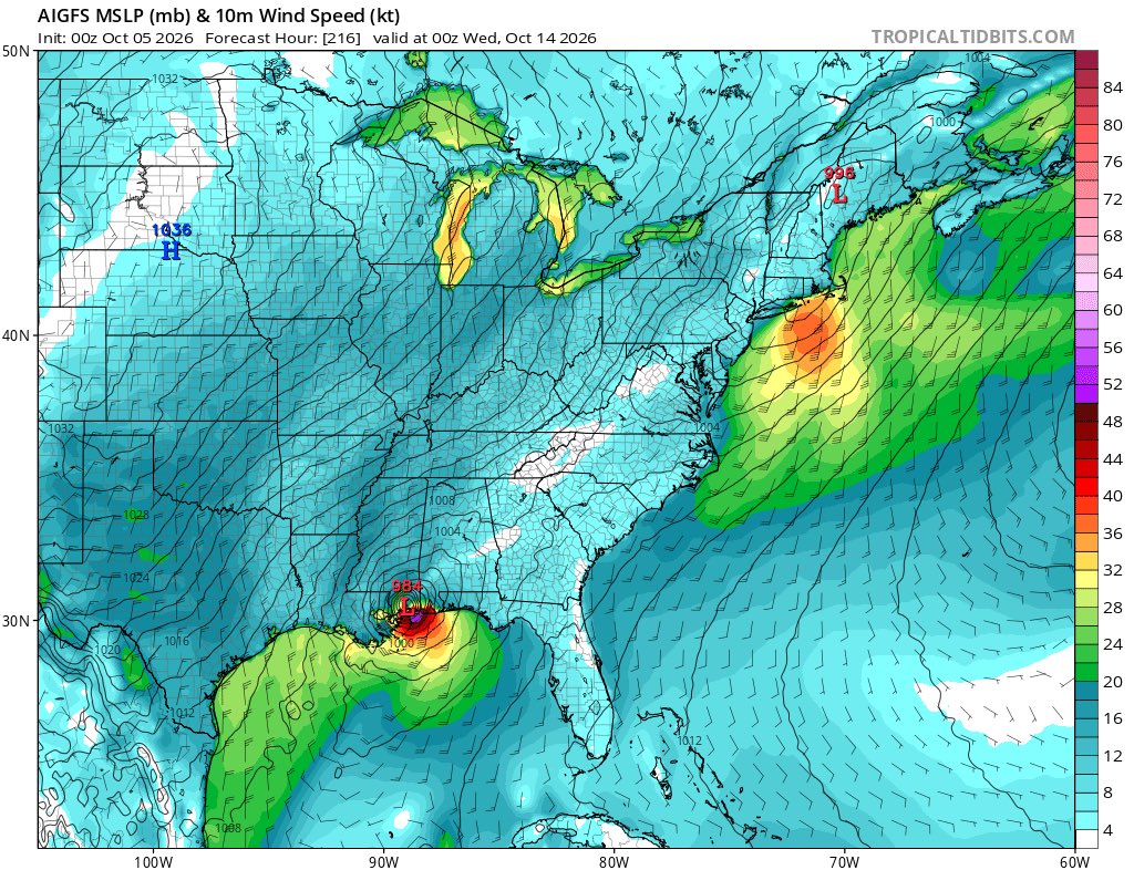
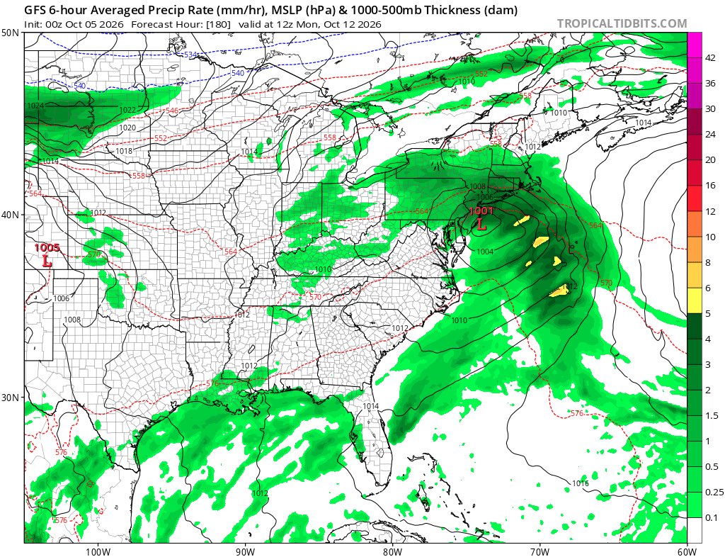
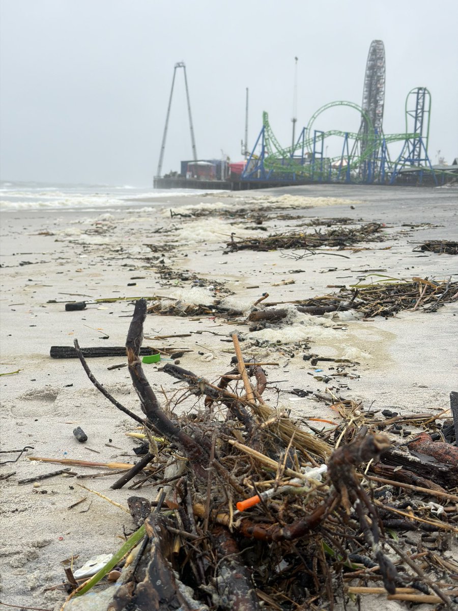
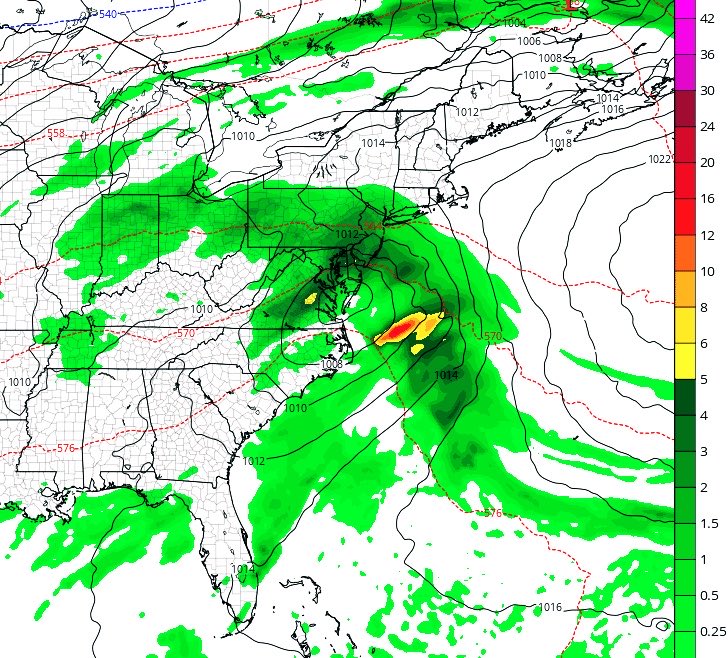
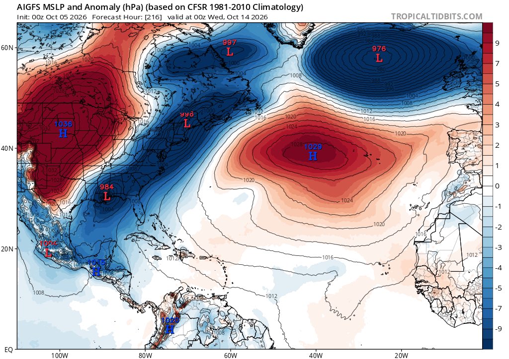
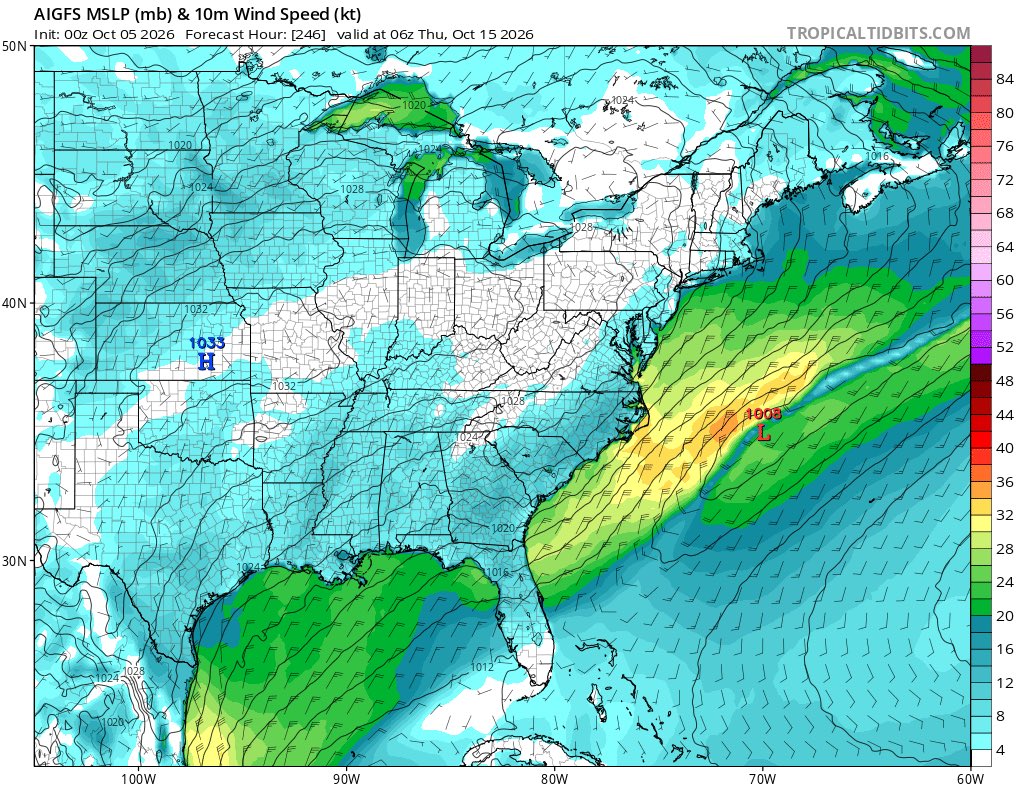
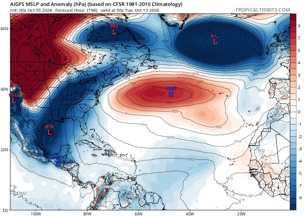
Another #noreaster to bear down on the #eastcoast next week. Erosion at beaches will reach major across over 30 beaches and many will reach catastrophic levels.
WILD VIDEO: A #tornado🌪️ in Australia sent a cafe's patio furniture flying on October 3rd and customers inside caught it all on camera.
The customer that recorded the video says his peaceful cup of coffee took a turn as the storm rolled through.
The Australian Bureau of Meteorologist says this tornado is classified as "sub-severe", and that it's unusual to see tornadoes along the coast of New South Wales.
The global tropics are in unprecedented territory
The heat release from this El Niño will likely cause an unusually large deviation from the general upward trend in global temperature
We’ve been around +1.4C pre-industrial levels and I’d bet we get around +1.75C next year
10:30PM radar update: Seeing some heavy slow moving cells east of Orange Beach and likely more coming onshore over the coming hours over the western Florida Panhandle. The Flood Watch has been extended until noon Monday.
I am making public a bot which posts the outputs of my ML model twice a day. The product is not final, but I want to share the usefulness of this product. I would love to get any comments about this, what you would like to see, thoughts/criticisms/opinions. Check it out!
Pro tip: When the models start acting really screwy in the midst of a historic el nino, whats coming down the pipe regardless is “not good”. GFS has had a lil too much validity lately…did nam really do that bad for the nor easter can either?