NWS MRMS non-QC’d radar layer captured @SpaceX#Starship#IFT2 reentry northeast of Puerto Rico from 1320Z-1340Z. Looked like hot staging was a success but the FTS triggered after losing telemetry.
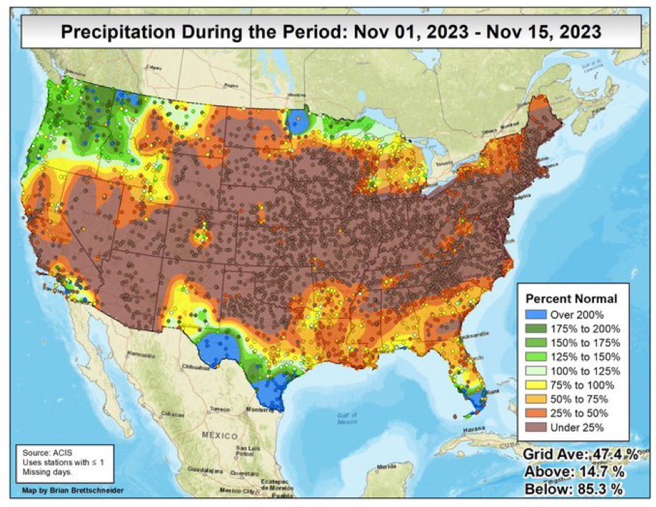
While it’s been a “pleasant” Fall across WY & west NE, the extended warm & dry conditions are leading to spot wildfires. Very late season red flag warnings issued this past week in WY. Thankfully, turning cooler & wetter next week. #WYwx#NEwx
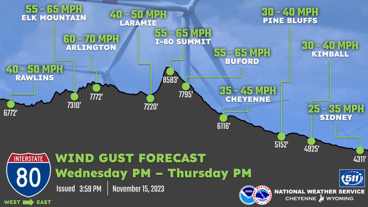
Loving these new elevation-based graphics. From wind to future snow events, we’re always looking for ways to communicate impacts better along high volume travel routes. Great teamwork putting these together.
15/405PM: Greetings! Attached are the forecast wind gusts for the upcoming wind event tonight through Thursday. High Wind Warnings are in effect for the wind prone areas, the Laramie Valley and Converse County. Be careful if traveling tonight into Thursday. #wywx#wyoroad#newx
@wxgirl81 No prob. There’s a couple pages of instructions but not bad. Graphic can be done manually but also connected to NBM for probabilistic ranges. We’ll likely use it for snow too.
I’ll add this was a win-win for NWA with all the great candidates on the ballot. For the other candidates, your continued drive, passion, & ideas are essential to NWA. Next election is in a year, please keep your amazing momentum & energy going forward!
Election results are in... 🥁🥁🥁
Becca Mazur is the 2024 President-Elect and will serve as president in '25. Trevor Boucher, Katurah McCants, Elise Schultz and Ryan Vaughan will serve as directors for the years of 2024-26. Their terms start on 1/1/24.
https://t.co/ZsPNumlDu5
Fascinating scenario-based geoscience hazard communication across the geomagnetic storm/aurora & Icelandic earthquake/volcanic/magma fissure spaces. Like with weather impacts, have good sources of official information. (https://t.co/Hxqt7XgnIc)
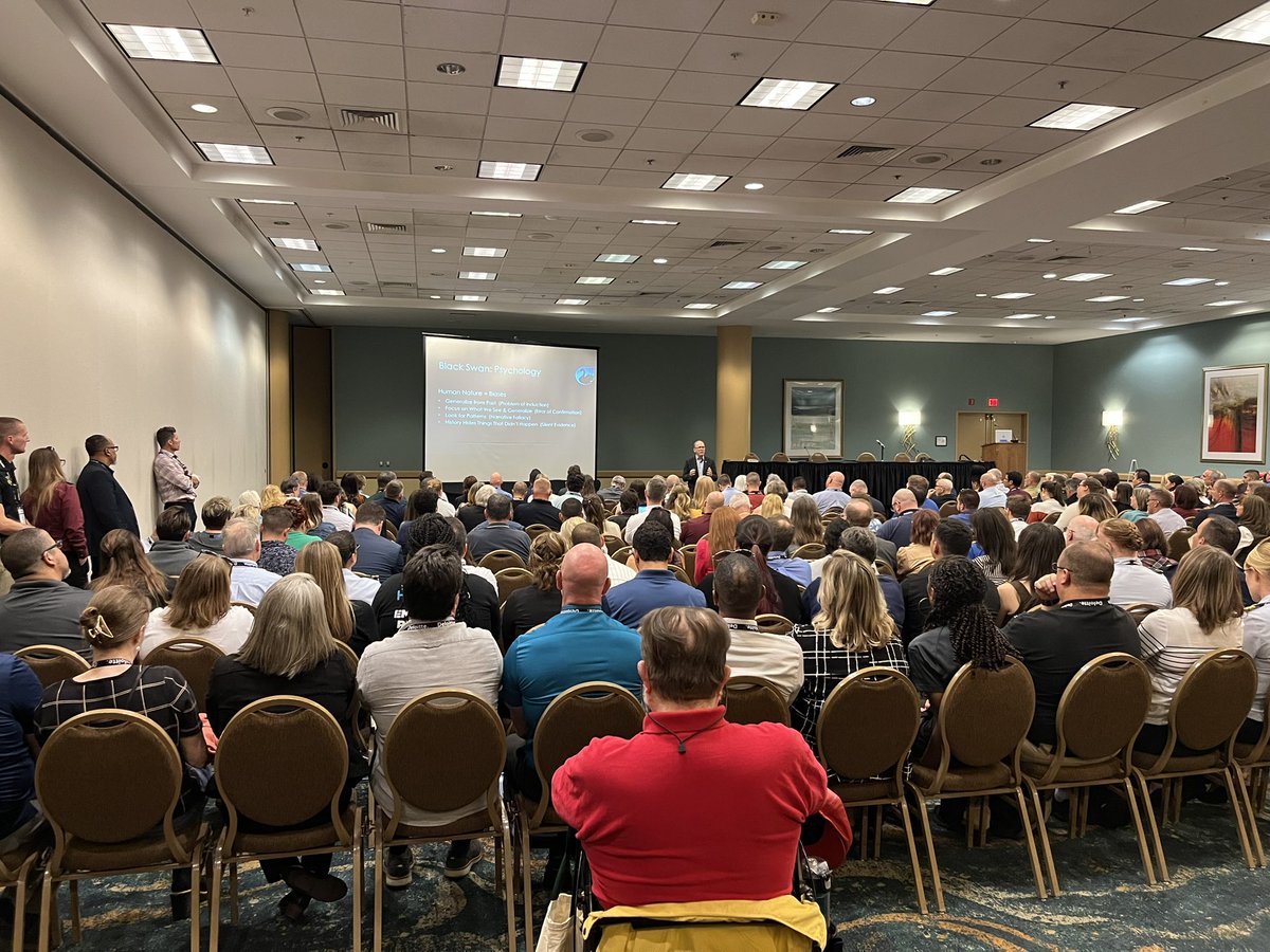
Fascinating discussion on black swans (high outlier/narrow focus), grey rhinos (highly probable but ignored), & dragon king (extreme outlier & impact) events. Social science is key here as an event can be a grey rhino to EMs but black swan to public. Perspective matters. #IAEM23
NWS Director, Ken Graham, highlighting the NWSs’ nimble, flexible, mobile workforce with deep investments in people, infrastructure, & future. Mutual aid, AWIPS in the cloud, & direct EOC duty station embedding. Weather.gov2.0 & NWSChat/Slack had big crowd appplause. #IAEM23
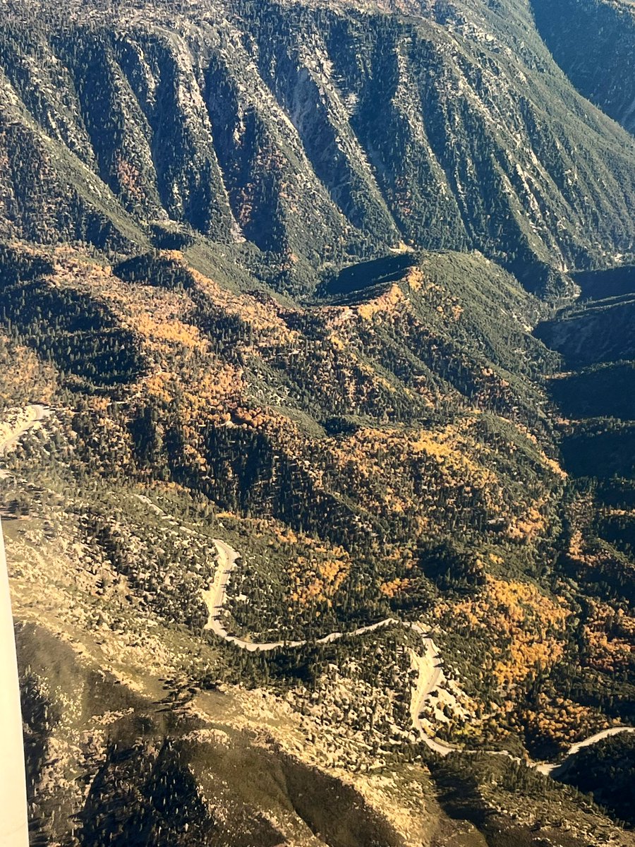
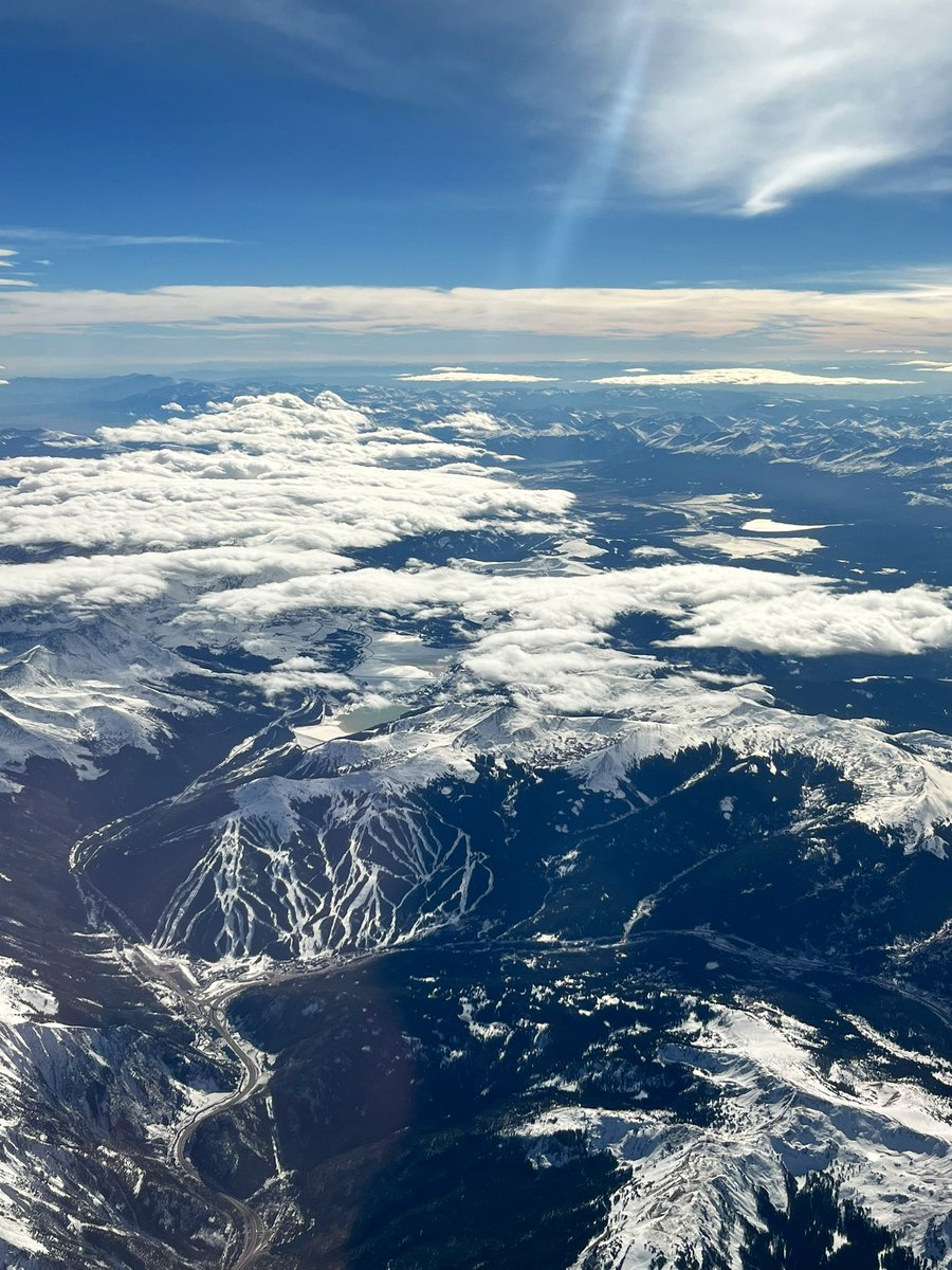
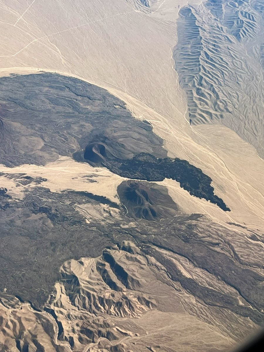
Excited to head to #IAEM conference for the first time & also present. Going to be a great NWS/EM nexus of sharing & learning. Progression from CO to CA was fantastic. Old lava flow?! #windowseat
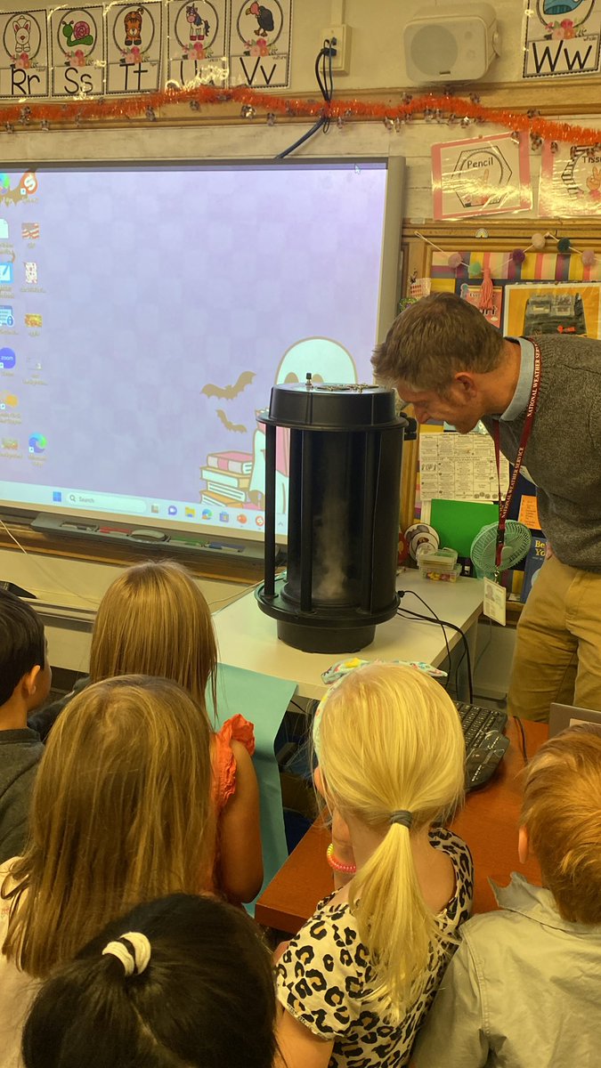
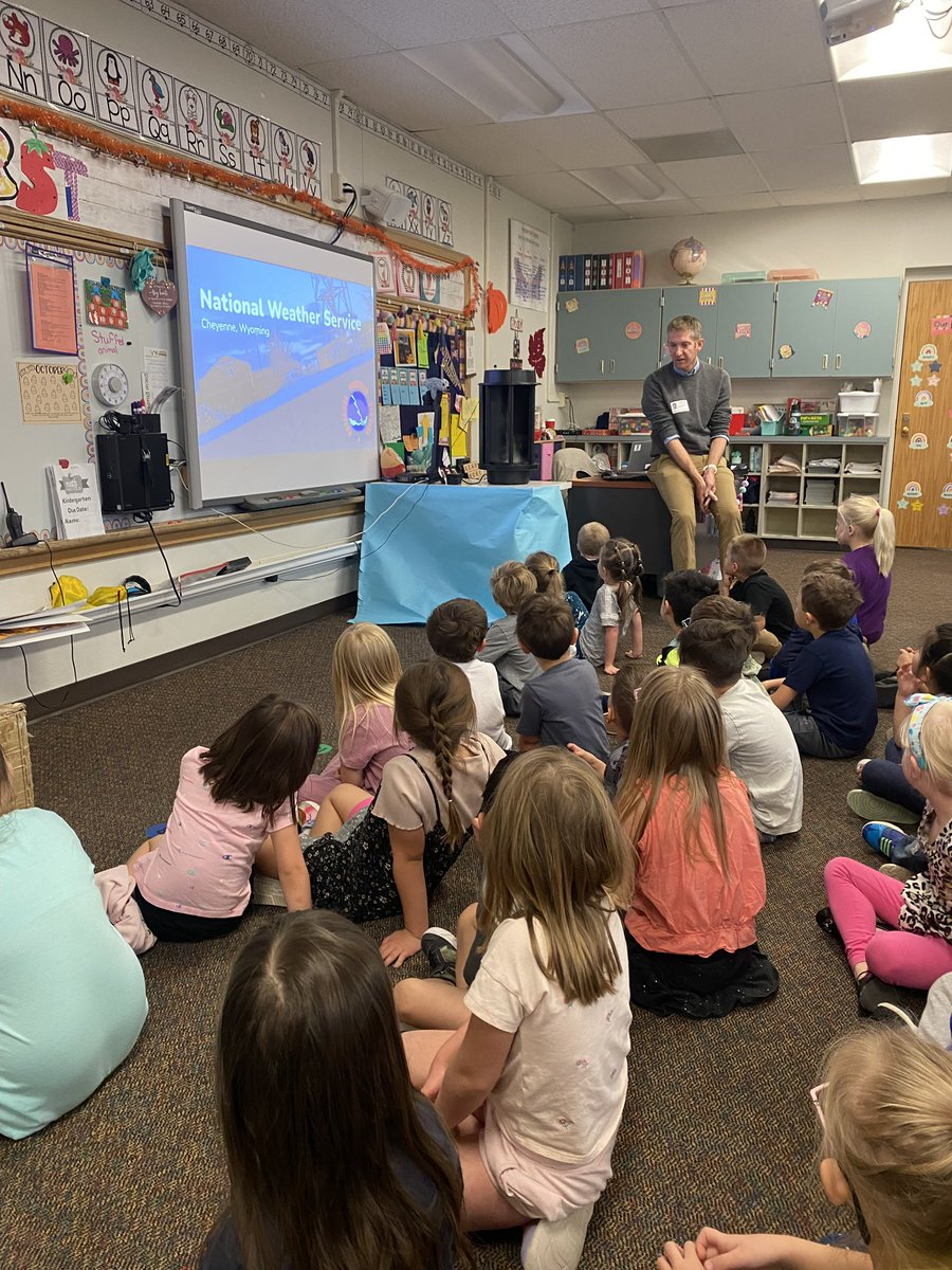
School visits in full swing! Had a great time with 31 kindergarteners chatting weather safety & clouds. They loved the mini tornado & van de graaff (⚡️) generator. Many gave hugs as thanks afterward. Another awesome part of NWS’s community connection.
🏈❄️🚨 Setting the record straight on posts claiming 6-14 inches of snow tomorrow for the #Broncos game 🚨
Left pic is a radar depiction later tonight, with heavy snow over Denver. Right pic is a radar depiction tomorrow at kickoff… there’s no falling snow.
That’s not to say we won’t see flurries… or some snow on the field (though I expect they have time to clear it all), but if you are expecting a legitimate white-out snow game, it ain’t happening.
On top of that, winds remain very light. The temps in the 20’s are mildly problematic, but not game-altering. All things considered, this is not a terrible weather game.
My full weather forecast is up with a fresh forecast for all games: https://t.co/0PT4kUkmSx