We had a retirement party for Jeff Penner last night at Nick & Jakes. What caption would you give this one? Have a great Sunday. I hope to see everyone at the Head for the Cure 5k this morning!
@JeffPenner2020 Stay safe! May AccuWeather have your permission to use this video with credit to you on all platforms of @AccuWeather and its affiliates?
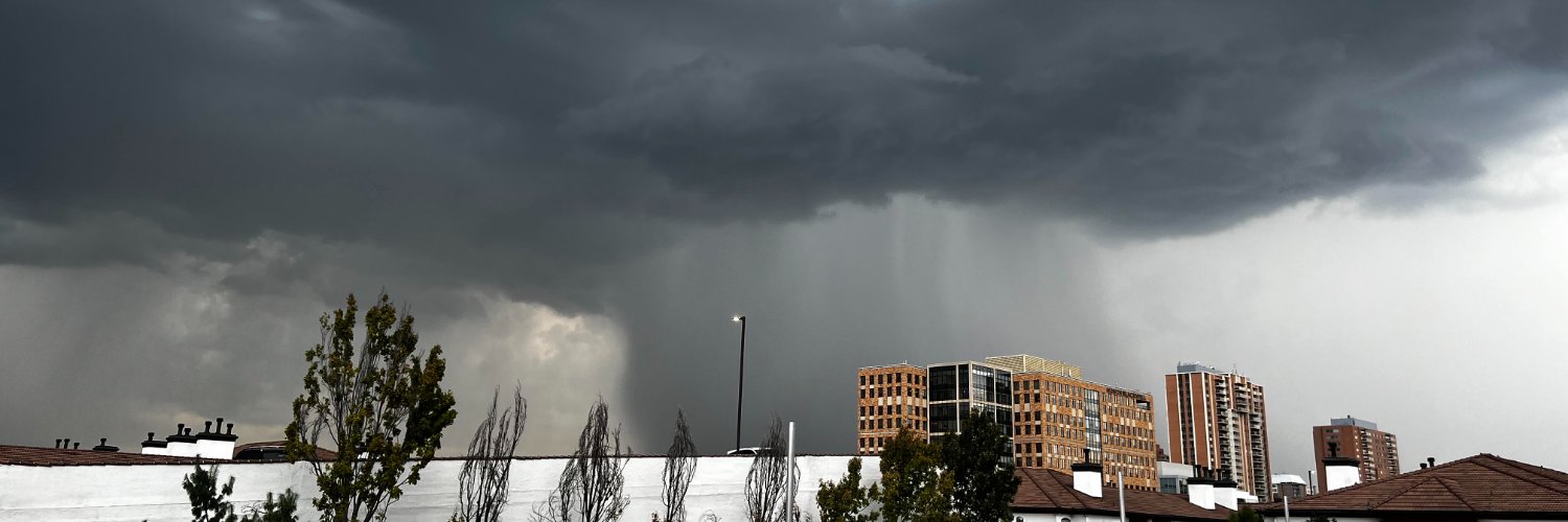
60 mph wind and torrential rain with marble sized hail roared through south OP around 530. This is the worst of the storms as they track southeast at 40 mph. After 7 PM should be a nice evening.
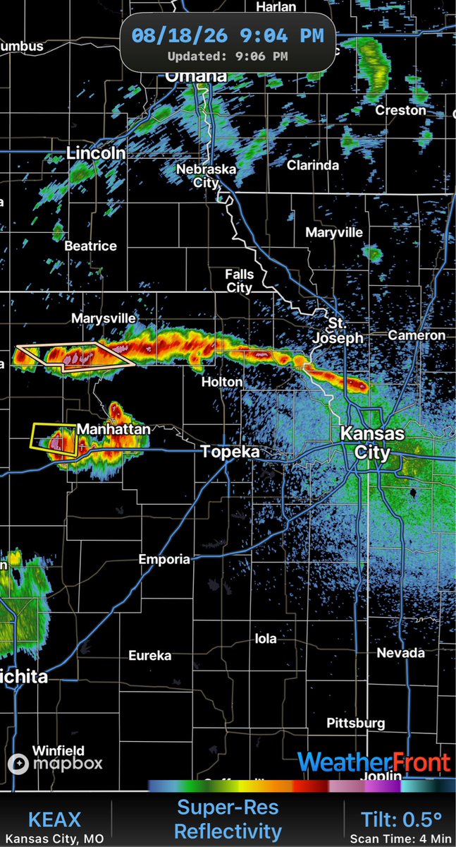
Thunderstorms increasing across central and northeast Kansas will affect KC 11 PM to 7 AM. Flash flooding and hail are the main threats. Some thunderstorms may produce 40-60 mph wind.
WEATHER UPDATE (8/9/2026):
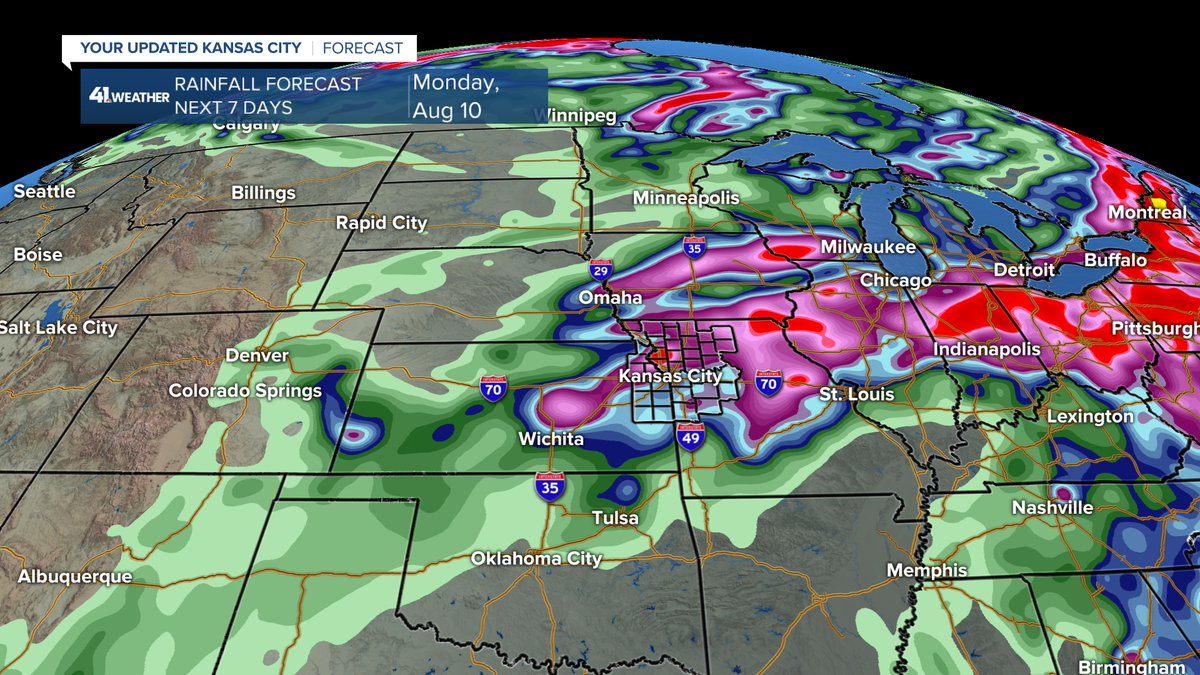
This is my last weather blog for KSHB. And, for my last blog, we are in an active August weather pattern, tracking heat, high humidity & T-Storms.
Details are in our updated @KSHB41 weather blog at:
https://t.co/slk8YNvAfZ
WEATHER UPDATE (AUGUST 8, 2026):
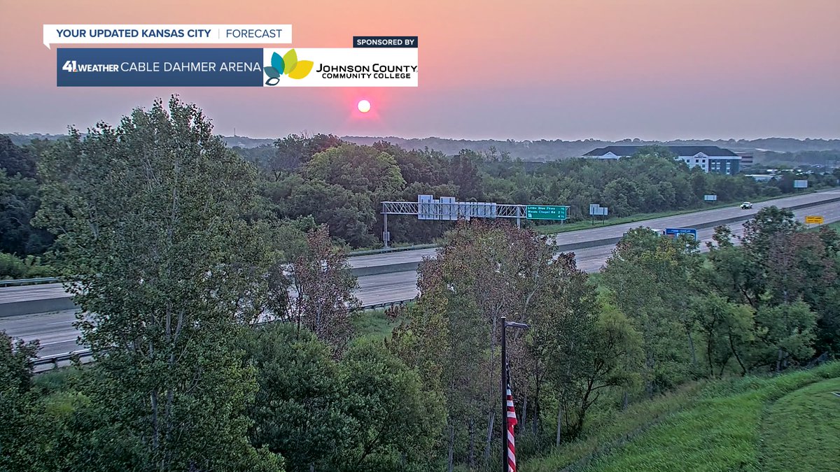
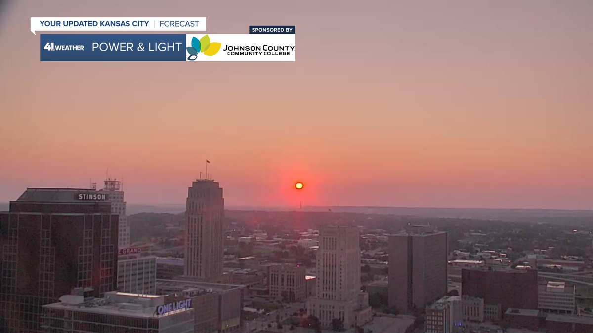
We had a clear, but red sunrise as the sun was shining through wildfire smoke aloft. We are tracking the smoke, the heat & T-Storms as the pattern is a bit active for summer.
Details in our updated @KSHB41 weather blog at:
https://t.co/J4Krvy8hag
WEATHER UPDATE (8/2/2026):
The 1st week of August will start with some super summer weather, but end with chance of T-Storms.
Details are in our updated @KSHB41 weather blog at:
https://t.co/a6FpGWvBSA
WEATHER UPDATE (7/29/2026):
We are tracking a decreasing area of rain today. But, there are increasing chances of rain & T-Storms Thursday-Friday ahead of a nice summer cold front.
Details are in our updated @KSHB41 weather blog at:
https://t.co/ekVXOHWafd
WEATHER UPDATE (7/28/2026):
We knocked off about 10° from our high heat. We have knocked off nothing from the extreme humidity which will be working hard the next 3 days, used to produce T-Storms.
Details are in our updated @KSHB41 weather blog at:
https://t.co/Aes6GxdROS
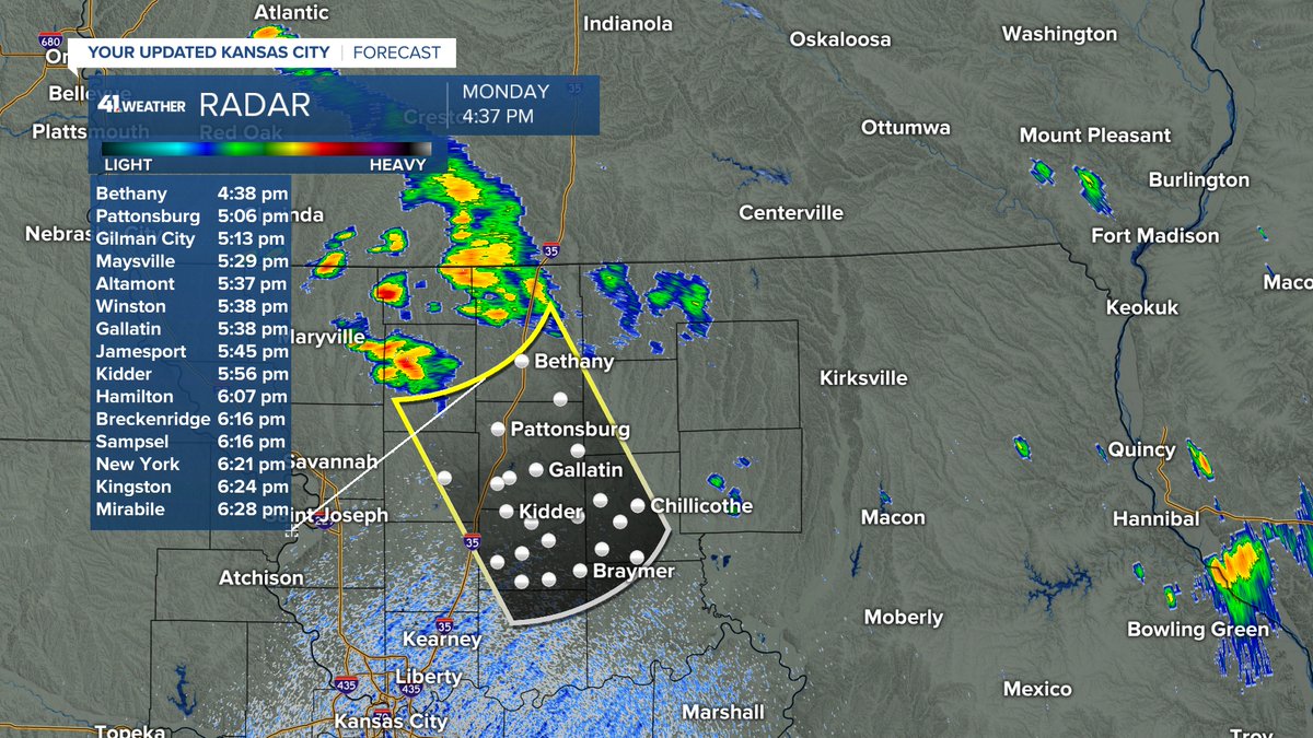
It'as too hot! We are on the last day of high heat for this week as the 1st of 2 cold fronts arrive tonight. This front is helping to create a few showers and T-Storms across northern Missouri. As this front gets closer tonight, a few showers/T-Storms may affect KC after 9-10 PM.
WEATHER UPDATE (7/27/2026):
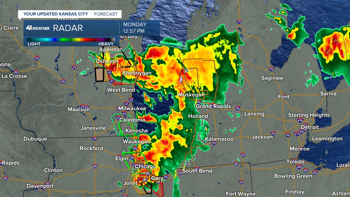
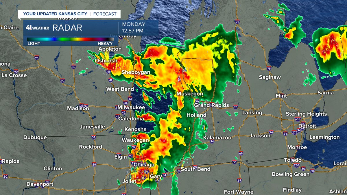
While we deal with the heat, there is a severe weather outbreak ongoing from Green Bay, WI to Chicago, IL.
Our T-Storm chances increase this week as well.
Details are in our updated @KSHB41 weather blog at:
https://t.co/tWkg7vuOS7
WEATHER UPDATE (7/26/2026):
We are tracking high heat, extreme humidity & 1-2 cold fronts. This makes for an interesting week of weather.
Details are in our updated @KSHB41 weather blog at:
https://t.co/uNOiYBauh0
WEATHER UPDATE (7/25/2026):
The high today will be in the low 90s with extreme humidity, not unusual for July 25th. Heat index values today will reach 110°-115°.
Details on the extreme humidity & also tricky T-Storm chances are in our @KSHB41 weather blog:
https://t.co/jpcOLprmOr
WEATHER UPDATE (7/24/2026):
We are tracking an area of heavy rain & a few T-Storms that entering KC. Watch for hydroplaning & possible flash flooding. The rain today becomes tomorrow's extreme steam.
Details are in our updated @KSHB41 weather blog at:
https://t.co/zaxejyjMF9
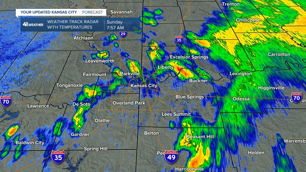
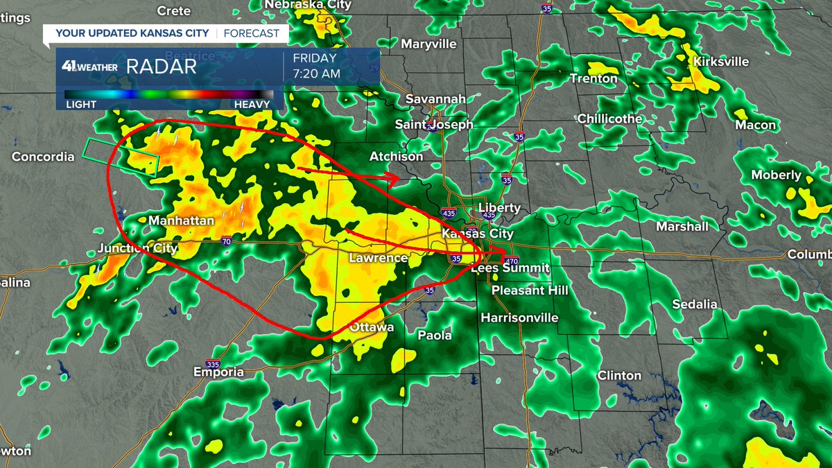
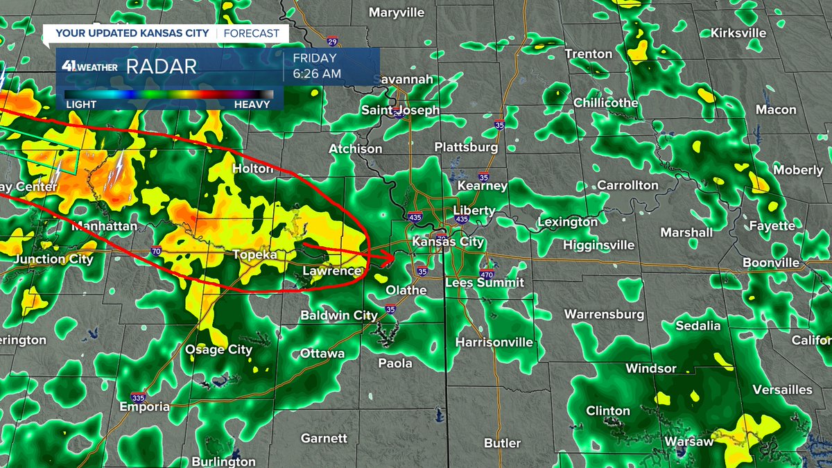
The rain has been mostly light this morning. Heavier rain is rapidly increasing and approaching from the west-northwest. It will move in to KC between 7 AM and 8 AM. Watch for ponding of water on roads as rainfall rates will reach 1"-2" per hour at times.
WEATHER UPDATE (7/20/2026):
It is already 92° here at noon. We need a cold front & there happens to be one headed this way!
Details on the front & increasing T-Storm chances are in our updated @KSHB41 weather blog at:
https://t.co/IYfBSYeTxi
WEATHER UPDATE (7/19/2026):
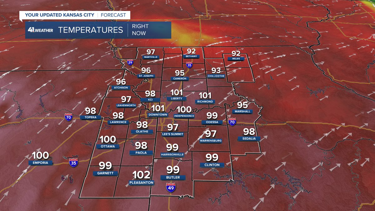
After a cloudless sunrise, we are tracking the hottest day of the summer followed by cold fronts & thunderstorm chances.
Details are in our updated @kshb41 weather blog at:
https://t.co/SgeMFyReIF