Can you find Hawaii? It is a chain of volcanic islands in the middle of the Pacific Ocean. Watch the camera pull back to see where it hides. Find it for yourself in JigsawGeo 3.2.
No ads, no accounts.
https://t.co/0cRdlOJPYX
Can you find Fiji? It is more than 300 islands scattered across the South Pacific. Watch the camera pull back to see where it hides. Find it yourself in JigsawGeo 3.2.
No ads, no accounts.
https://t.co/0cRdlOJPYX
Can you find St Martin? It is one small Caribbean island shared by two countries, France and the Netherlands. Watch the camera pull back to see where it hides. Find it yourself in JigsawGeo 3.2.
No ads, no accounts.
https://t.co/0cRdlOJPYX
Can you find Gibraltar? It is a tiny British territory at the southern tip of Spain. Watch the camera pull back to see where it hides. Find it yourself in JigsawGeo 3.2.
No ads, no accounts. https://t.co/0cRdlOJPYX
Can you find Monaco? It is one of the smallest countries on Earth, tucked between France and the Mediterranean Sea. Watch the camera pull back to see where it hides. Find it yourself in JigsawGeo 3.2.
No ads, no accounts. https://t.co/0cRdlOJi9p
Can you find Vatican City? It is the smallest country in the world. Watch the camera pull back to see where it hides. Find it yourself in JigsawGeo 3.2.
No ads, no accounts. https://t.co/0cRdlOJi9p
A new look for the globe: JigsawGeo 3.2 shows mountains, deserts and forests as you fly in to Italy, Japan and South America. Pick Terrain or Political in Options. No ads, no accounts. https://t.co/0cRdlOJi9p
One Landsat archive can show a coal mine’s full life cycle: grassland, open pit, then reclaimed vegetation.
Original story by @USGS.
https://t.co/w5FRea4Cml
#Geoawesome#Landsat#USGS#RemoteSensing
Image credit: USGS / Bureau of Land Management Wyoming
JigsawGeo 3.2 is here! Spin a terrain globe, play any of 16 missions from the start, and earn passport stamps for every place you find.
Print your passport as a booklet to color in.
https://t.co/0cRdlOJi9p
On a classroom wall map, Greenland looks about as big as Africa. On a globe, Africa is about 14 times larger. Flat maps stretch everything near the poles. A free printable shows kids why: https://t.co/O5DUZpON6U
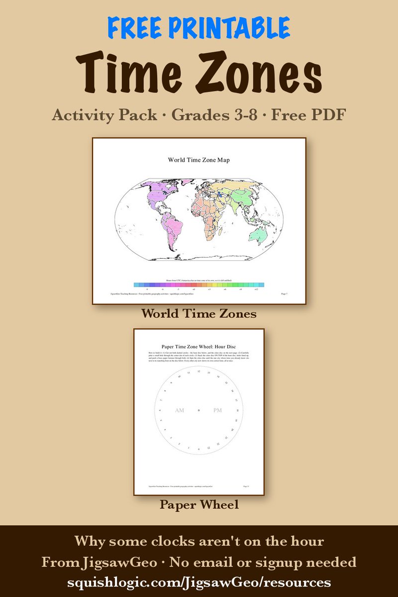
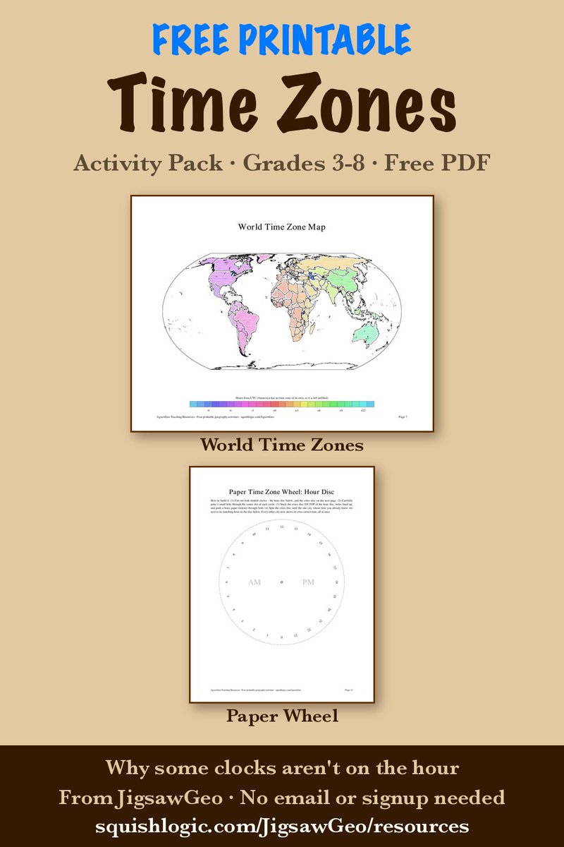
This Sunday, most of southeast Australia moves its clocks forward an hour. Queensland next door doesn't, so for six months the border splits time. And tiny Lord Howe Island only moves its clocks 30 minutes!
Free time zone printables: https://t.co/t0XWxXJM3j
Fun fact: not every clock is on the hour. Nepal is UTC+5:45, and Newfoundland and South Australia run on the half hour.
Our free Time Zones pack has a map, a date line worksheet, and a paper time zone wheel: https://t.co/t0XWxXJedL
Flat maps lie. JigsawGeo 3.0 just launched - the whole puzzle now plays on a real 3-D globe, every country its true size. No ads, no accounts, no tracking. Two maps free.
https://t.co/RubfxggPRJ
Understanding the headlines starts with the map. 🌍
With the Middle East in the news, brush up on your geography with JigsawGeo. Download for FREE with 2 maps included! 🧩
Explore the premium Middle East map: https://t.co/XUy1sSJWVC
Turn screen time into discovery! 🧩 JigsawGeo is free to download with 2 starter maps included.
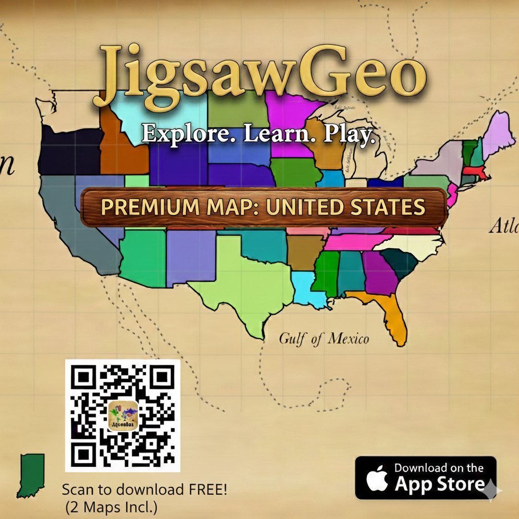
Bond with the grandkids over our premium United States map and help them master geography while you play together. Safe, quiet, and fun! 🌍
Play now: https://t.co/XUy1sSJWVC
🌍 Ready to master historical geography world?
Piece together the "British Empire" in our brand-new map for JigsawGeo! Solve the puzzles of the past and test your geography skills with this massive historical expansion. 🧩🗺️
Play now on the App Store: https://t.co/sK2EXxasfR
JigsawGeo is an educational iOS app with jigsaw puzzles of maps. We have just updated it with a number of refinements, including new GameCenter leaderboards and support for French.
https://t.co/sK2EXxasfR
My google drive is my prized teaching possession
Over 125 blank maps of the world/ countries/ continents etc.
All organised here so you don't have to search the internet!
https://t.co/8mgE0SdHqP
#geographyteacher
Map showing the center of population for each country, with the same number of people east and west, north and south of the point. By reddit user u/neilrkaye
https://t.co/Sk23QxnpvR
JigsawGeo uses the Mercator projection for our maps, but it is does have its flaws, making things look too big, especially near the poles. https://t.co/AxuSAd4Mm1