FIRE: On my flight from Spokane to San Francisco just now, was able to grab this frame of the #Grasshopperfire in Oregon as it blows up! First time I've shot a fire from 30k feet in the air! Think that's Mount Hood in the background. (Photo Josh Edelson/AFP)
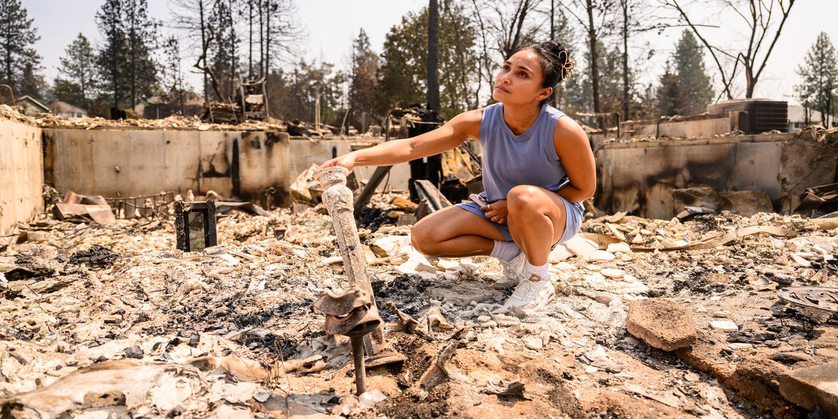
Amid the ash and twisted metal, Spokane residents are starting recovery efforts after wildfires devastated their communities. Click the link below to see all of the photos ⬇️
📸 JOSH EDELSON, AFP via Getty Images https://t.co/VE9He40iiu
My photo of Tim Cook's final WWDC keynote is on the front page of @WSJ today — shot on assignment for @AFP. "Cook Takes Last Bow."
A decade covering this event, and a front page still never get old.
Photographer @JoshEdelson from @AFPphoto images got the Story Nature & Environment 1st prize in #İstanbulPhotoAwards 2026 with the series of ‘California Fires’.
Congratulations to @JoshEdelson on winning the Independent Freelance Photographer Award at the Xposure International Photography Festival in the UAE! The images were taken while on assignment for @AFP during the fires in California https://t.co/zVBsV7tMHp @photojournalism
And now there's officially a Tornado Warning out for Santa Cruz County for this offshore mini-supercell thunderstorm, which is likely producing a waterspout over water that could move inland as a tornado near Santa Cruz. #CAwx
AFP’s Josh Edelson photographs vehicles navigating roadways flooded with ocean water during a “King Tide” event in Mill Valley, California.
"King Tides" occur when the Earth, moon, and sun align to produce unusually high water levels, cause tidal flooding and give a glimpse into what things could look like with rising sea levels in the future
Vehicles navigate roadways flooded with ocean water during a “King Tide” event on Thursday, Dec. 04, 2025, in Mill Valley, California. (Josh Edelson/AFP)
Immense planning and technical precision was required for this absolutely preposterous (but real) view: I captured my friend @BlackGryph0n transiting the sun during a skydive.
This might be the first photo of it's kind in existence. See a video of this moment in the reply 👇
HORRIBLE: WORST CASE scenario is unfolding. Really, I am near a loss of words. "Last chance to protect your life at all costs" is the words from the NHC. Melissa is about to make landfall at its strongest intensity. A humanitarian disaster is about to unfold. The hurricane hunters detected 252 MPH gusts 300 feet off the ocean surface. 185 MPH max sustained winds and 220+ MPH gusts in the eyewall about to obliterate Black River area.