@nwsjacksonky We're grateful to Ms. Denise Griebel, Superintendent of Laurel Co. Public Schools and Ms. Kate Ray, Principal of Laurel County Public Schools Center For Innovation, for hosting yesterday's event! #kywx
🧵Scenes from the ribbon-cutting ceremony held Monday morning at site #86 in London (Laurel County). Addressing the crowd were Dr. Jerry Brotzge (Mesonet Director and head of @KYClimate), Dr. David Brown, Dean of @wkuogden...
@nwsjacksonky Our presenters spoke on the importance of this new site, not only for measuring and collecting weather parameters but also on the role it plays in commerce and tourism along with building the state's cyberinfrastructure, as well as progress in hazard mitigation.
🧵This morning's updated #DroughtMonitor from @NOAADrought shows a one class improvement in the ongoing drought for much of the southern one-half of the state. We no longer have D3 ('Extreme Drought'), thanks to last weekend's rains.
🧵🌡️With June now in the books, here's a look at maximum, minimum and average temperatures across the board for the month.
🔴Hottest: Union County near Morganfield: 95F on 6/30
🔵Coldest: Lewis County near Vanceburg: 45F on 6/3
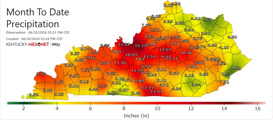
Last weekend's torrential rains pushed Bullitt Co. into the #1 spot for accumulated rain on the month (15.15"), with Meade Co. runner-up (13.82"). On the flip side of the coin, several sites in the S & E wound up with < 3" for all of June (monthly average: between 4-5"). #kywx
🌧️With no rain expected anywhere in the state between now and midnight, here's how June will close out precipitation-wise at all of our 87 sites. (1/2)
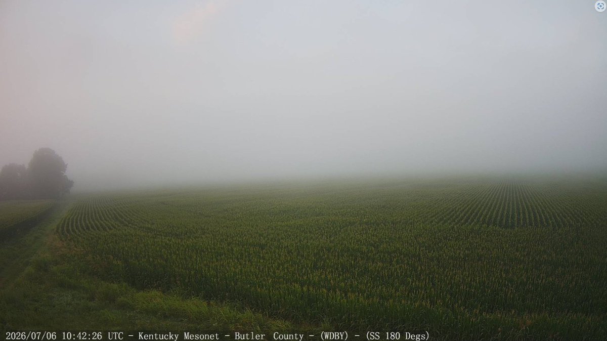
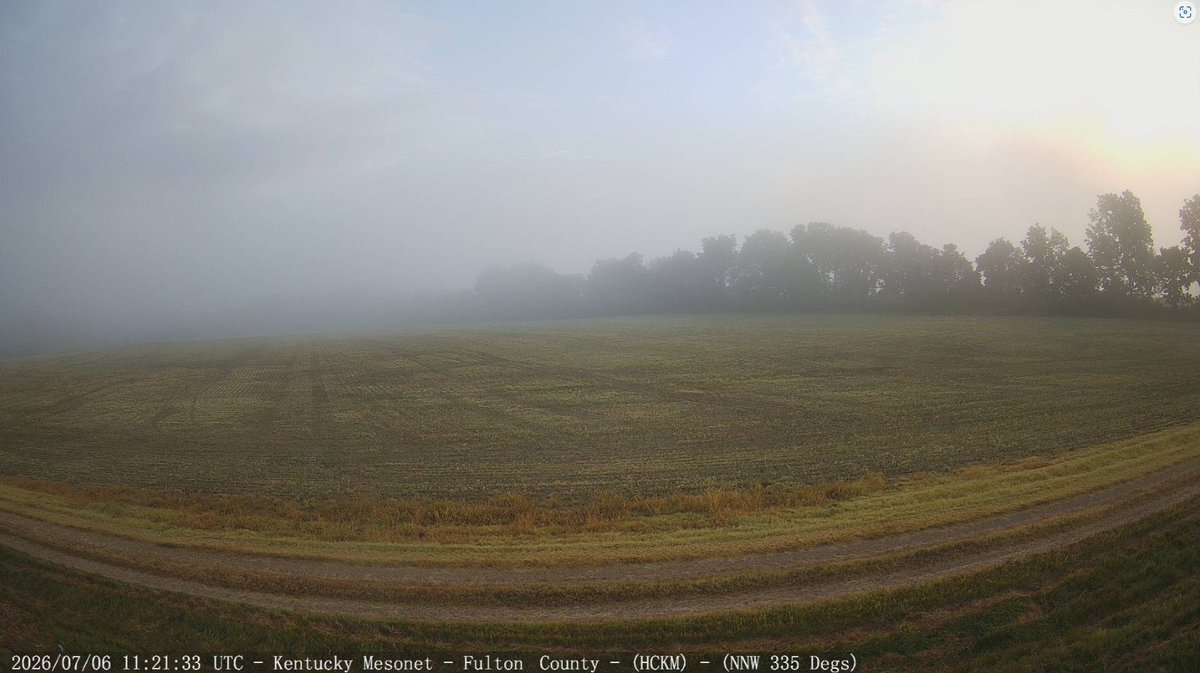
Note in the pic with John the debris piled up just below the 'Mesonet' sign...a good indicator of how high floodwaters reached at the site on Sunday. Also note the contrast on the webcam view of the surrounding soybean fields between 9:40am CT Sun morning to this afternoon. #kywx
📷Good news: Our Cumberland County site just W of Burkesville is back online! Field technicians Andrew Lowe and John Farash (pictured below) visited the station today to ensure all sensors were in good working order.
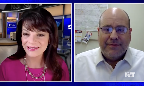
Kentucky Tonight's @ChristieDutton talks with Shane Holinde @Main_Event_Wx of @kymesonet for a statewide perspective on last weekend's storms and the extreme heat that will blanket the commonwealth this week. https://t.co/yDt6gcERzd
@NOAADrought Webinars are regularly scheduled for the first THU of the month, with the opportunity of additional webinars in the case of drought episodes.
Please let me know if you have any questions, and we look forward to seeing you Thursday at 2pm ET / 1pm CT! #kywx
@NOAADrought Just click on the Zoom link below and then input the meeting ID and passcode below.
Zoom link: https://t.co/treGyUnUiD...
Meeting ID: 945 6821 6001
Passcode: 957822
There is also the option to view the presentation live on our YouTube channel.
We'll take a look at where we are drought-wise and flood-wise, and what the outlooks portend going forward. This webinar is hosted by the Kentucky Climate Center in partnership with @NOAADrought and in coordination with the Midwest Drought Early Warning System.
Happy Monday everyone,
Please join us this THURSDAY (July 2nd) at 2pm ET / 1pm CT as Kentucky Division of Water's Chip Zimmer takes us through a look back at an eventful June, current conditions, and outlooks, followed by a time for questions and feedback.
With that in mind, below are some reminders of how to stay cool in our season's first real heat wave, courtesy of our @KYClimate Service Climatologist, Grace Dines! #kywx
Sweltering heat and humidity have found a home in the Commonwealth. We're already seeing heat indices - apparent temps representing the combination and temperature and dew points - well past 100F at several locations. These heat indices will only climb into the afternoon.