Want to add stunning terrain to your offline maps? 🌄 Our latest article shows you how to use MapLibre GL JS to easily create maps with realistic elevation and hillshading. #MapLibre#OfflineMapping#protomaps#maps#geo#gis https://t.co/z3z16vTmlx
Want to add stunning terrain to your offline maps? 🌄 Our latest article shows you how to use MapLibre GL JS to easily create maps with realistic elevation and hillshading. #MapLibre#OfflineMapping#protomaps#maps#geo#gis https://t.co/z3z16vTmlx
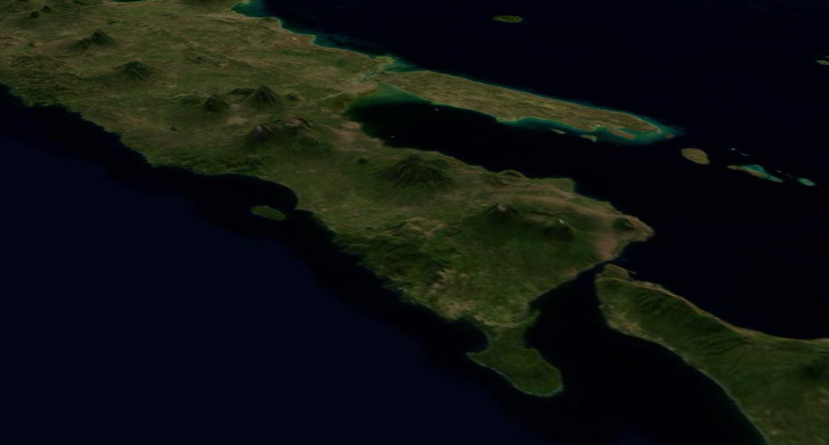
Building a CesiumJS app that works offline and on on-premises deployments just got easier! 🚀 Check out our step-by-step guide to visualize Earth without internet or to self host your map. Read more: [https://t.co/jI5QbFKsMD] 🌍✨ #CesiumJS#Offline#Geo#GIS#maps#satellite
Visualize data effectively with greyscale basemaps! A clear, focused display highlights key information without distractions 🌍. See how we used global fire data to demonstrate the power of interactive maps. #DataViz#CesiumJS#GreyscaleMaps#Satellite https://t.co/2h3Ge9AGPI
@fubits @thorwebdev@bdon@protomaps@supabase@maplibre If you want some satellite imagery tiles using @protomaps PMTiles format that fit within the supabase object storage free tier you can check https://t.co/ySG6pjVQZ6
Building a CesiumJS app that works offline and on on-premises deployments just got easier! 🚀 Check out our step-by-step guide to visualize Earth without internet or to self host your map. Read more: [https://t.co/jI5QbFKsMD] 🌍✨ #CesiumJS#Offline#Geo#GIS#maps#satellite