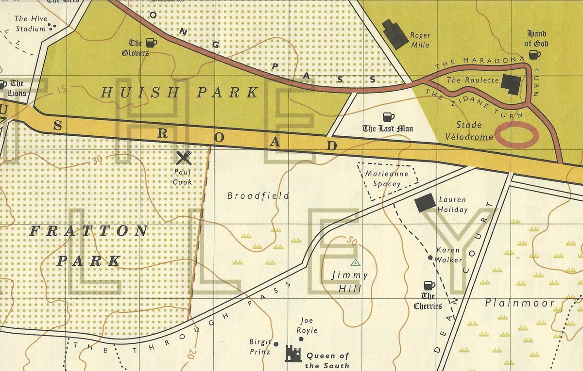
Found this marvel on eBay recently. The History of Association Football Set to the Art of Cartography. More at https://t.co/myDtUmzcrk.
@Dorothy_UK#mapping#cartography#football
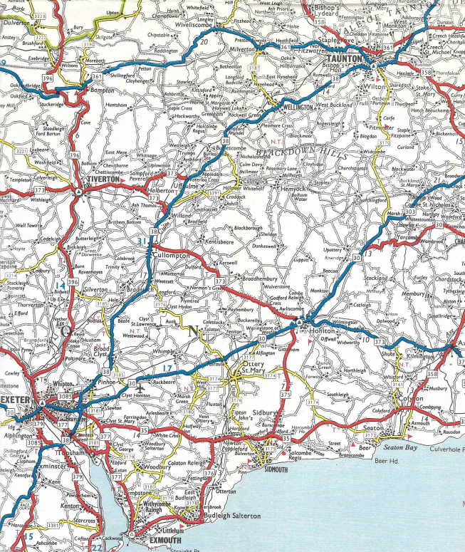
Walked along the Avon from Keynsham to the outskirts of Bath last week. The river’s navigable section has its place on this 1963 Shell map. Unearthed some years back from a dusty corner of a bookshop in Lyme Regis
#shell#mapping#waterways#keynsham#lymeregis
At Twerton Park, Bath last week. One of my favourite football grounds. Shown here on a 1960s Geographia street atlas. An online purchase that was once property of the Charlotte Mason geography department, Ambleside.
@CumbriaUni#mapping#geographia#bathcity
1965 Shell map of Ireland. Two-sided; a tight squeeze fitting it all on. No room for any north/south overlap. Not too helpful if travelling through and around Dublin
#mapping#shell#ireland#dublin
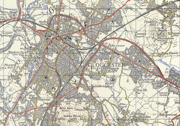
As a 1960s child map enthusiast I remember by-passes appearing around Gloucester. Transpires some sections date from around 1930; others from the 1960s. Later additions too. Mapping from the marvellous SABRE: https://t.co/xlBA73aY3X
@sabreroads#gloucester
Football at Gloucester City recently. Good to see them back at Meadow Park. Assume ground mapped here is the one at Longlevens where they played from the 1930s to the 1960s
@GCAFCofficial#longlevens#nonleague
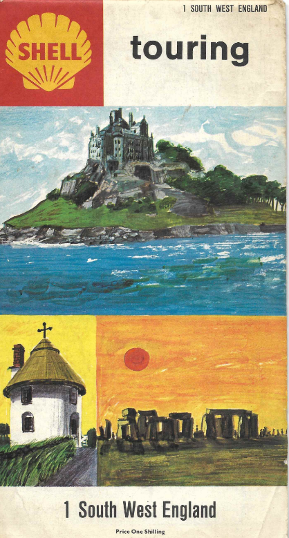
Recent purchase; a map I had as a child. 1965 Shell. Pictorial covers; motorways in green; trunk roads in blue. Here see the old route of the A35 in East Devon (soon after the A3052)
#eastdevon#shell#mapping#A35
@YokerAthleticFC@clydebankfc@FitbaReal Thank for that. I'm well overdue another football visit to Scotland. It was the north last time so I should really focus on the west next time.
WH Smith, Exeter. Clearance sale but hardly a bargain. Just a few seconds spent finding the football ground. Habit of a lifetime
@clydebankfc@YokerAthleticFC@FitbaReal
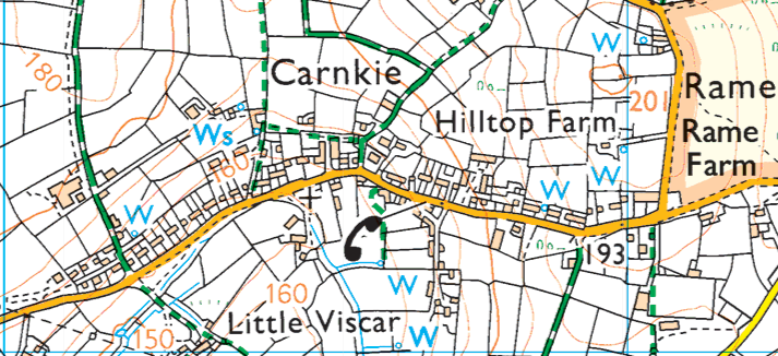
@FitbaReal@LugarFC1878 That's a pretty extreme example of a football ground (and team playing at a decent level) constituting a fair chunk of a settlement. Even more so than Wendron United and Carnkie, Cornwall
@WendronUtdAFC
OS mapping of Babbacombe from over a hundred years ago. The settlement at the quay; streets of terraced housing around Babbacombe and Sr Anne's roads; grand houses and curved tree-lined avenues near Cary Park. https://t.co/fXxiwPQBd6
@ChilcoteMeander@PRSD#babbacombe#torquay
Varied, interesting Dartmoor walk on Friday. From near the old Lydford railway stations, across the A386 to Wheal Jewell, Wheal Betsy, Gibbet Hill and back to the start. Shown on 1967 OS tourist map
#dartmoor#devon#lydford#os#maps
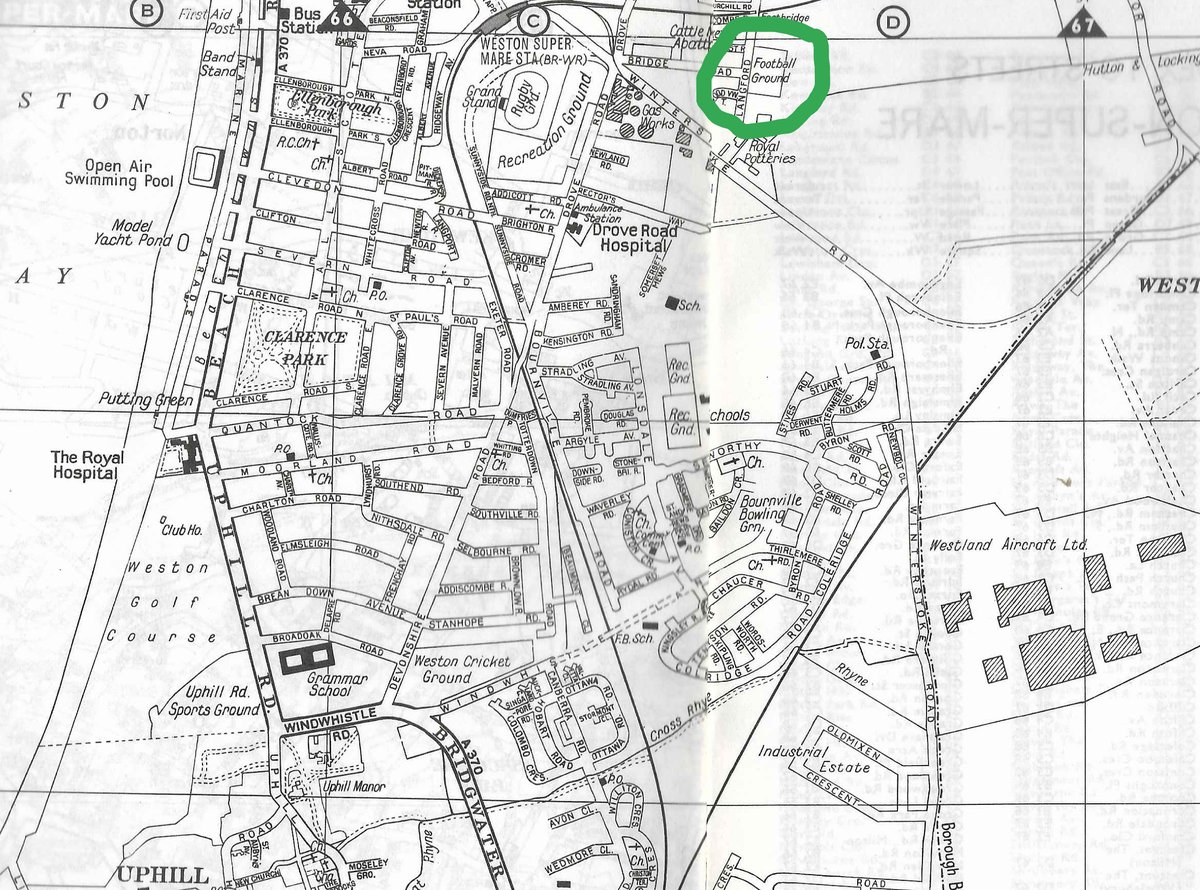
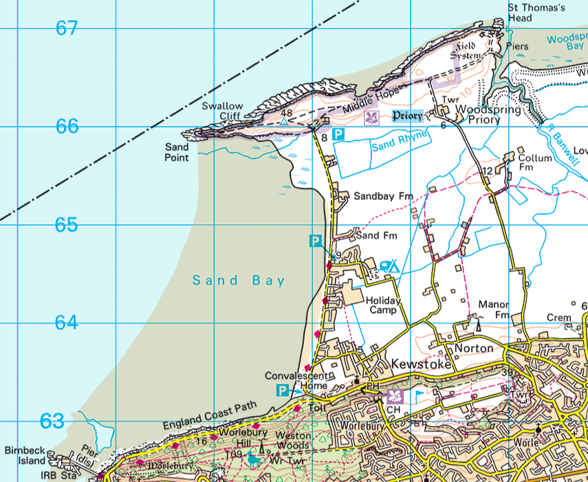
Briefly at Sand Bay near Weston-super-Mare today. Always surprise to find a dunes, bungalow and holiday camp strip so far up the Bristol Channel. Seen here on pre-1914 OS mapping (https://t.co/fXxiwPyrYY) and current Landranger
#sandbay#bristolchannel#wsm#westonsupermare
Interesting what you sometimes find in WH Smith. Once came across fourteen Exeter AZ atlases in their Newcastle-upon-Tyne shop. This, in turn, is currently in the bargains section in Exeter. Form an orderly queue, please!
@RobinTheMapMan@WHSmith#kilmarnock#maps