#HxGNLIVE#GS18I hands on session with Mr Burke taking the room through the best practices for utilizing images in #LeicaInfinity deriving trustworthy data deliverables.
From big scale to little scale at #ISPRS Nice 2022. #LeicaInfinity representing the value for combining base maps, uav and hand held imagery, point clouds, scanners and precise measurements in all their details contributing to getting daily project work done. @LeicaGeosystems
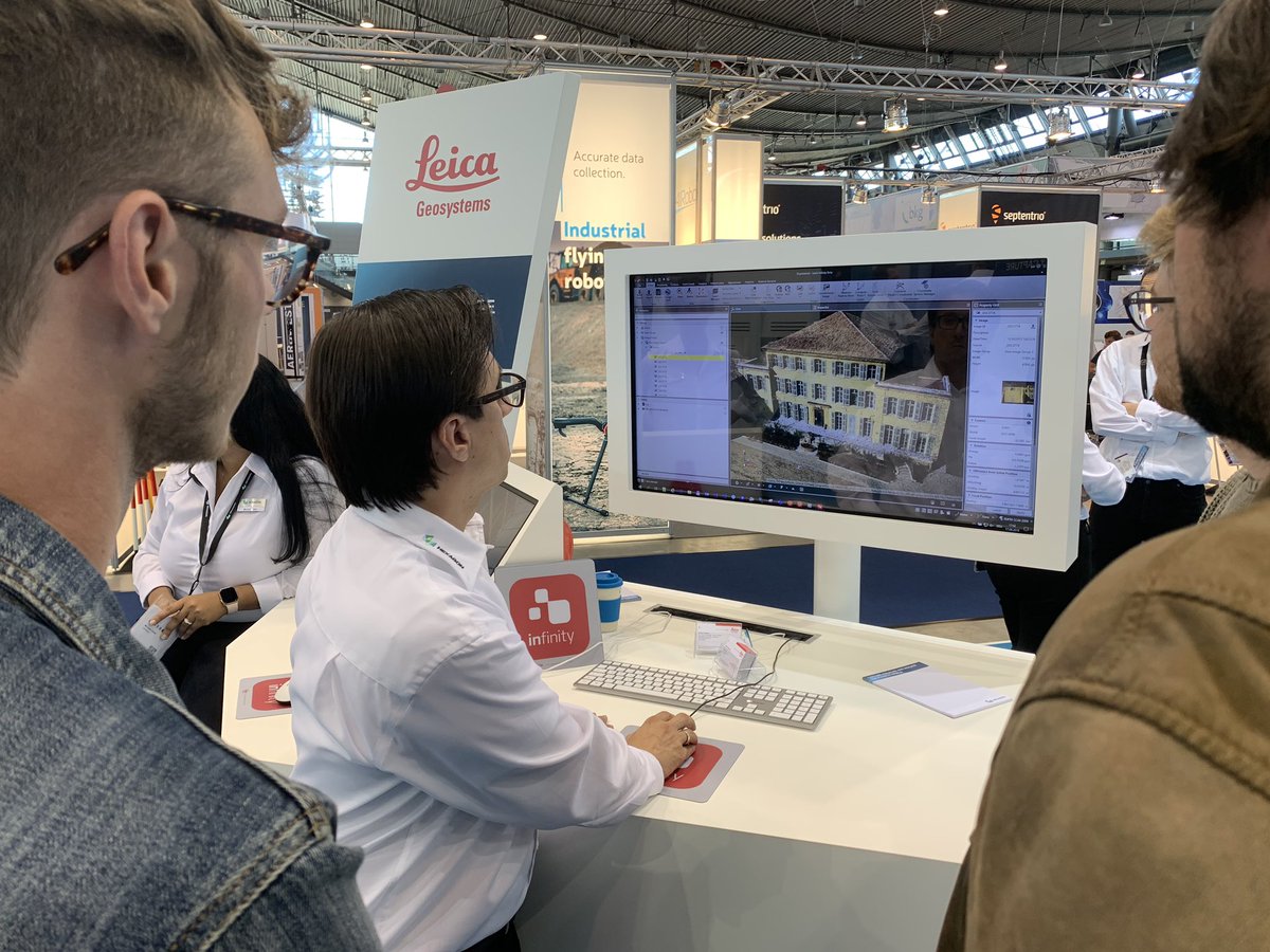
Good morning #ISPRS! This week we are in Nice for the ISPRS. Visit our booth #M36B to learn more about the Leica CityMapper-2, Leica BLK2FLY and Leica Infinity and don't miss our team's sessions about creating Smart Digital Realities. Check out the program https://t.co/eOj3dDimfi
Get the job done quicker by having a dedicated power machine for your photogrammetry data processing pipeline. BIMBOX is there. They know Leica Infinity and they know how to build a machine for it. #whenithastoberight#LeicaInfinity@BIMBoxUSA @LeicaGeoUS
Doing more with images... take a read from Geospatial World on how the GS18 I merges several technologies to provide a practical tool guised as a typical RTK field measuring tool but also bridges reality capture, using Infinity to…https://t.co/hSfGBaxkZz https://t.co/nN70mZwW1j
Images as a source of data. Join my Digital #INTERGEO session today (0900 PST, 1600 GMT) to see some examples of combining various #imagery from #UAV#GNSS, #totalstation and using #pointclouds to help get the job done.
https://t.co/EfNHxOtlqb https://t.co/VGccv3MlpI
Looking for new challenges? We look forward to meeting you!
The Leica Infinity team is looking for Product Engineers who are ready to contribute to our growing photogrammetry and point cloud solution. Some of the responsibilities w…https://t.co/ROY1YcWoLr https://t.co/NtcroB9iSg
It's all about the process. #LeicaInfinity Working to support the big picture. @InfraBIMOpen thanks for organizing and helping making connections that support improving processes and collaboration.
Drones continue to be a hot topic in the construction industry however data collected is often not used to its full potential. @AGTEKDirtSimple provide simple tools to get from the point cloud to actionable information to make quick informed decisions.
https://t.co/Esty6OXtB9
Maintain control of of your site in the field by using #drone technology and #mobileapps
This article highlights the growth of the #UAV market in #construction to get the job done.
https://t.co/UBiH2yUNN2
Visit @LeicaInfinity @Intergeo for a sneak preview of the next Infinity version. Let us show you some of the new features helping you connect your field work with the world of online information and project services for BIM/GIS/CAD!🙂 @HexagonGeo@GISLounge@TheBIMHub