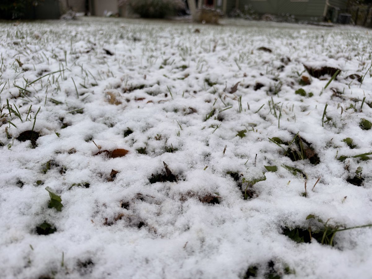
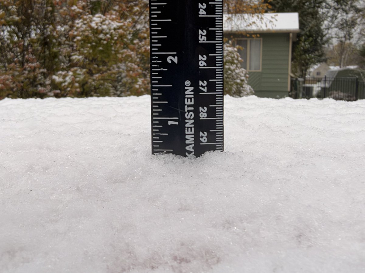
A look at where I think the best chances for some snow will exist early Friday. It all depends exactly where the thin band off the lake sets up, but it looks to ride pretty close to I-57. Some grassy surfaces might see at least very light slushy accumulations. Much of the snow will melt on contact. Still use caution while traveling in some of those heavier bands in Iroquois/Ford county.
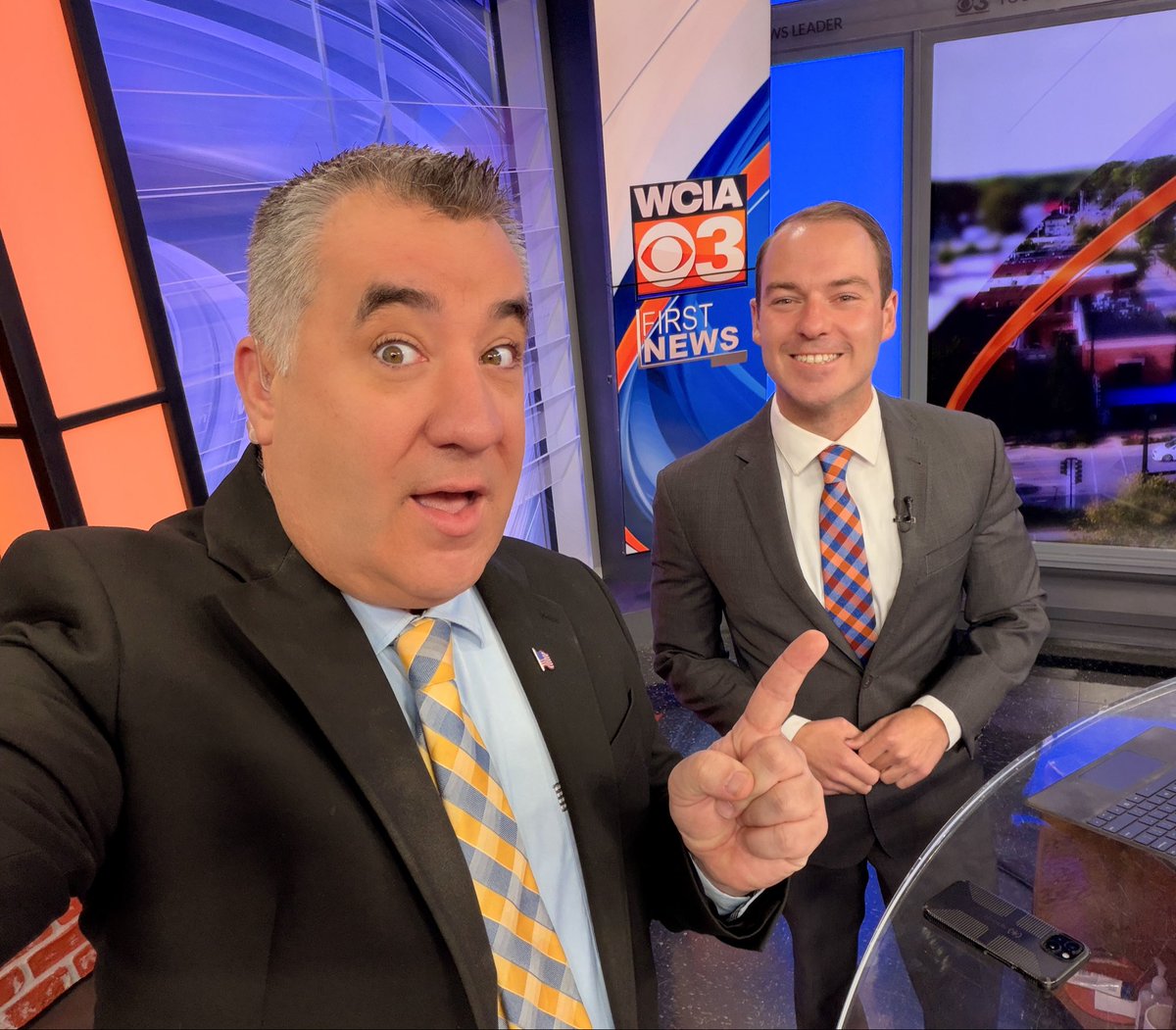
We had to bring the lovely Judy Fraser back in to get some advice on these first snowflakes of the year, oh and of course her Wooly Worm Forecast. It will air during our winter weather outlook, a week from today, Thursday Nov. 19 at 6:30pm.
Classic Cumulonimbus cloud. Picture taken in Monticello, looking east at the storms in Champaign & Vermilion counties. Picture from Jessie Albrecht.
Starting late this weekend and through next week, some areas will pick up more rain than they did the entire month of October. The start of November looks very unsettled. These amounts are subject to change.
Always one of my favorite Kevin’s weather on the road! Thanks to the Clapper family who had us out during their fall harvest and let us tag along showcasing farming in central Illinois. Appreciate all the farmers doing their thing each year.