Job Alert!
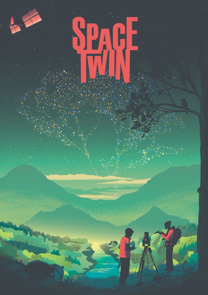
We are hiring a new PhD candidate to work on digital twins to understand forest disturbances and recovery from space, and to contribute to our @ERC_Research and @FWOVlaanderen projects.
More info ➡️ https://t.co/7GGETCfvm9
Application deadline: 15 Nov 2026
Job Alert!
We are hiring a new PhD candidate to work on multitemporal terrestrial laser scanning for better understanding forest structural dynamics.
More info ➡️ https://t.co/QrUhYLg3vk
Apply here ➡️ https://t.co/7Z4icVFmHm
Application deadline: Aug 3
Come work with us!
I'm hiring a postdoctoral fellow in vegetation remote sensing and radiative transfer to work on my @ERC_Research SPACETWIN project (https://t.co/nYXVARWPJe).
More info ➡️ https://t.co/ugce2yC44G
Deadline: March 7
If you ever want to try to introduce lianas in a vegetation model, check some guidelines in our new paper, based on 10 years experience of liana-modelling work! 👇
@Q_ForestLab
Towards a liana plant functional type for vegetation models https://t.co/l9oXgbw7pC
We’ve all seen how wind can change the shape of trees, but how does wind impact tropical forests?
Our new paper answers that question using purpose-built sensors in Barro Colorado, Panama. [1/4]
https://t.co/4bwpS5j0MB
@stri_panama@CCI_Cambridge@BristolBioSci@NERCscience
A new episode is out now!
Great thanks to Prof. @kimcalders for making some time to make this episode 🙌🏻
A full episode on YouTube: https://t.co/1jxF6RywcP
A full episode audio link: https://t.co/IndPGk0RHL
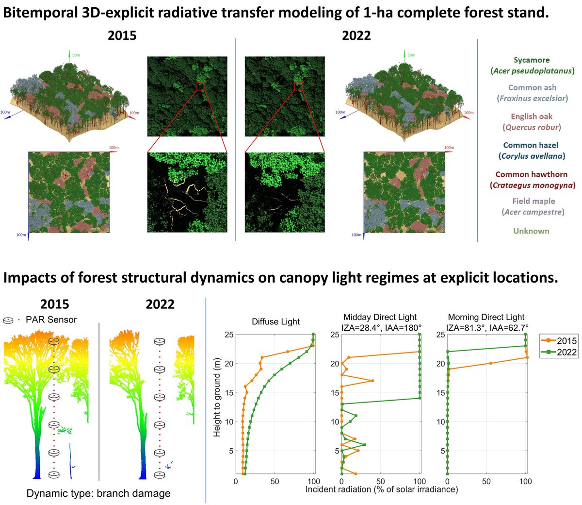
Our new paper @kimcalders@Hans1Verbeeck@LouiseTerrynn@Q_ForestLab on the bitemporal 3D-explicit radiative transfer modeling of complete forest stand, and the impact of of forest structural dynamics on canopy light regimes.
Full paper: https://t.co/Z8VlbPjpYC
🌲💻We are hiring! An open position for a doctoral student in our team in a project led by @AarneHovi Topic: Remote sensing of boreal forest biomass with satellite laser sensors, with a focus on physically-based modeling. Please RT https://t.co/XwlNHiLqr8
Medium category #drone training with the @DJIGlobal FlyCart30. With a 30 kg payload capacity and 20+ min flight duration we plan to use this airframe with hyperspectral and lidar sensors for ecosystem assessment. This training is part of our certification process. @UTAS_
🌲✨ Exciting news! ✨🌲
Join us for #SilviLaser2025 in beautiful Quebec City, Sept 29 - Oct 3, 2025!
Dive into cutting-edge technology in laser scanning and forestry. Learn more at https://t.co/aHAMCxAZs6! 🌍🔍
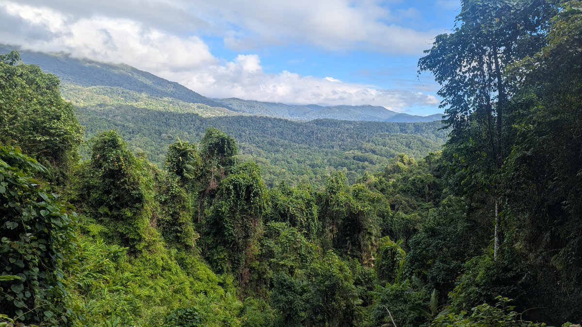
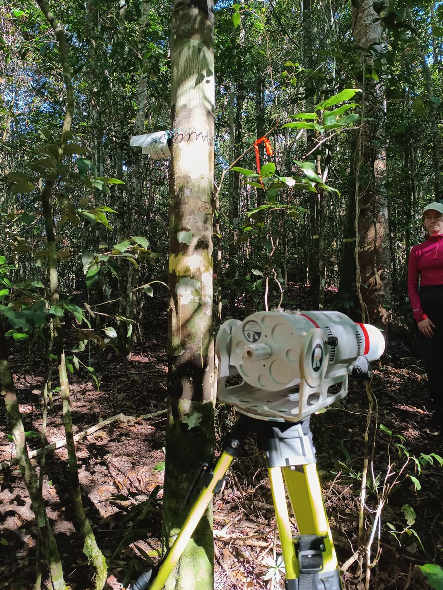
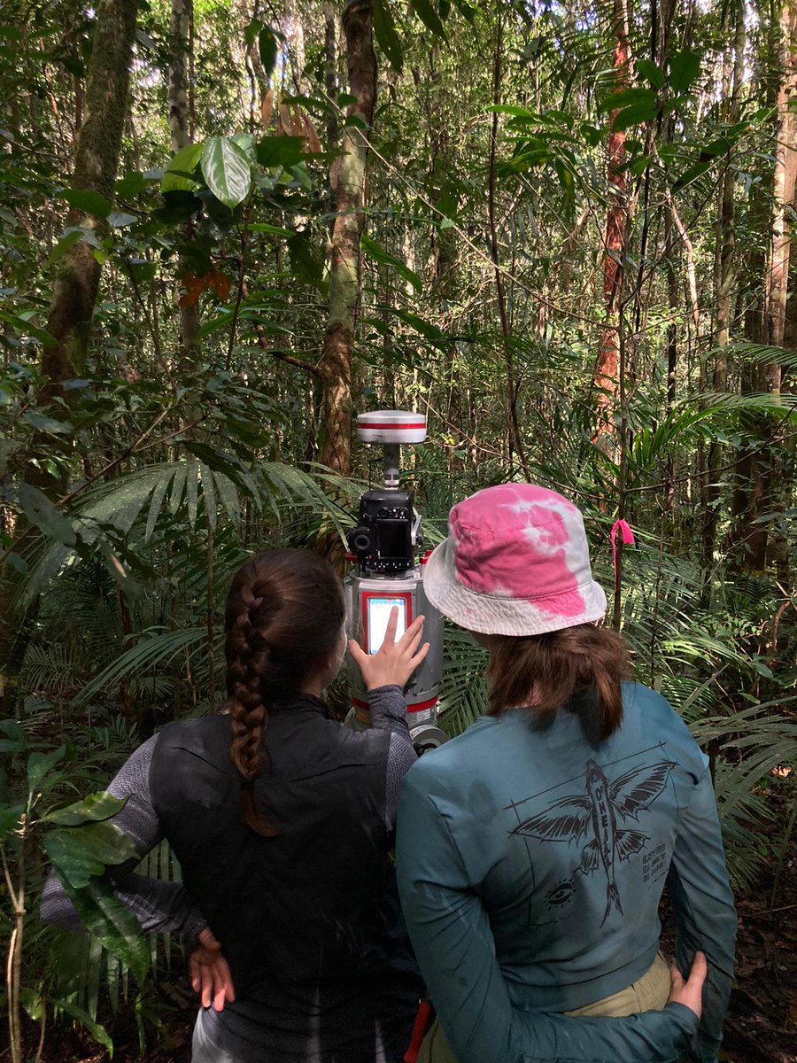
👁 Seeing the forest in a different light 👀 @kimcalders team just spent 6 wks running TLS to create detailed point clouds of the veg across a diverse set of QPRP sites in Aus moist tropical forest. Great project with a lovely team. We look forward to the science that follows!
Welke invloed heeft klimaatverandering op onze bossen? @kimcalders, professor aan onze faculteit, onderzoekt het in Bosland, waar sensoren elke dag cruciale data verzamelen. De resultaten bepalen ons bosbeheer en voorspellen de toekomst van onze natuur.
👉https://t.co/N6QzUYM92O
See our new paper on how to determine when you need to collect more data ... surprisingly, more data often has little value for decisions ... our paper unravels the mystery as to why "Value of Information Analyses" often yield surprising results https://t.co/Ll8Ex6jMkH
Our ambitious experiment in the Amazon rainforest - @amazonface
6 rings of towers: 3 will keep CO2 levels within them high so we can study how rainforest trees respond. eg. does growth keep increasing at high CO2?
Crucial knowledge for calculating future carbon budgets
Very happy to share our latest discovery "Global atmospheric methane uptake by upland tree woody surfaces" from the pages of @Nature. To summarise, upland trees are better for climate than we thought and are a new sink term in the methane budget.
https://t.co/rV9l14LvYL
Also a big thanks to our local partners @TERN_Aus , @SusanGWLaurance , @hj_whiterabbit, Pete Green & Mike Liddell to make this happen. This will be an amazing dataset with various co-incident measurements across different spatial & temporal scales. [5/5]
The first month of our field campaign in the Queensland Permanent Rainforest Plots (@QPRPaus - https://t.co/yd7nvq9nkQ) has been a success with 6 plots already completed and 10 more to go in the coming weeks! [1/5]
Our research partner @CSIRO@shaunlevick will cover some plots with (yearly) UAV lidar (~300 ha per plot). @SylveraCarbon is our partner on the airborne side with approximately ~70,000 ha of dense airborne lidar and gamma-ray sensor data across the plots & wider tropics. [4/5]