#LouisianaStrong is a disaster assistance group that was established to bring awareness and assistance to those in Louisiana affected by disasters. LINK ⬇️
#LouisianaStrong was first established in August 2016 as a Facebook group after the historic flooding in Baton Rouge & the surrounding areas. Since then there has been more disasters & more people are using Twitter so here we are. Please help us get the word out. #LouisianaStrong
Back in New Orleans for the Sugar Bowl once again this year.
Walking down Bourbon Street you now see a “Second Line in the Sky” tribute to memorialize those that died in the New Years Day terrorist attack.
Really powerful and beautiful dedication done by the city.
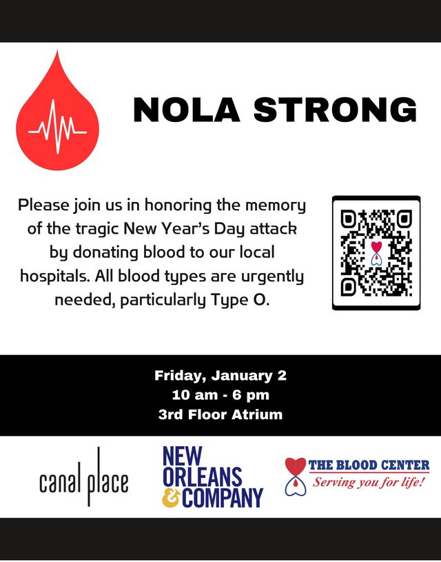
On Friday, January 2nd from 10 a.m. to 6 p.m., Canal Place will be hosting a New Year's Blood Drive in remembrance of the victims of the tragic 2025 New Year’s Day attack in New Orleans. All blood types are welcome, particularly Type O.
For those looking to file insurance claims for ash and soot connected to the Roseland explosion at Smitty's Supply, call 877-891-2276.
https://t.co/fGNgzMGqI0
Non-perishable food will be available at the Florida Parishes Arena in Amite, located at 1301 NW Central Avenue, on Friday from 9 a.m. to 3 p.m.
Full Story: https://t.co/7z9LcmLqxO
"To just get into the Dome that night, I remember walking in with Hockie, we both were crying because it was so emotional..."
Former voice of the Saints, Jim Henderson, joins WWL to remember the first Saints game post-Katrina.
FULL INTERVIEW⚜️ https://t.co/U0gYpoKTFN
20 years ago on August 28, 2005 #Katrina was a cat 5 hurricane moving our way. 7am 160 mph. 10am 175 mph. Paul Trotter head of @NWSNewOrleans put out ominous statement. Katrina would rival #Camille. I told people if they were staying to keep an axe in attic.
Katrina: Come Hell and High Water is now playing. From executive producer Spike Lee and the award-winning team behind The Perfect Neighbor.
In this series, the people of New Orleans share harrowing and triumphant first-person accounts and never-before-seen footage of a storm that still rages 20 years later.
#Saints announce a donation drive for Hurricane Milton relief during Sunday's game. Items needed are cleaning and hygiene products to be collected until the end of the first quarter.
A tropical system is likely to form in the Gulf next week and the threat to the Gulf Coast is increasing. Residents from LA to FL need to stay up to date. Please note that individual models showing landfall points 5+ days out will be wrong - don’t feed into the hype. #lawx
12noon. Francine has 90mph winds. Moving NE 13 mph. Pressure 976mb. 120 miles SW Morgan City. Rainbands moving onshore with windy conditions. Isolated tornadoes possible in bands. Water rise as rainbands move onshore. . @wdsu#nola#lawx
Francine stronger, better organized. Winds 65 mph, moving NNW 7 mph. Forecast hurricane tonight or Tue. Tropical force winds extend out 160 miles from center. Center a little West, so track shifted more West. Landfall Wed 1pm more SW LA as Cat 2. @wdsu#lawx