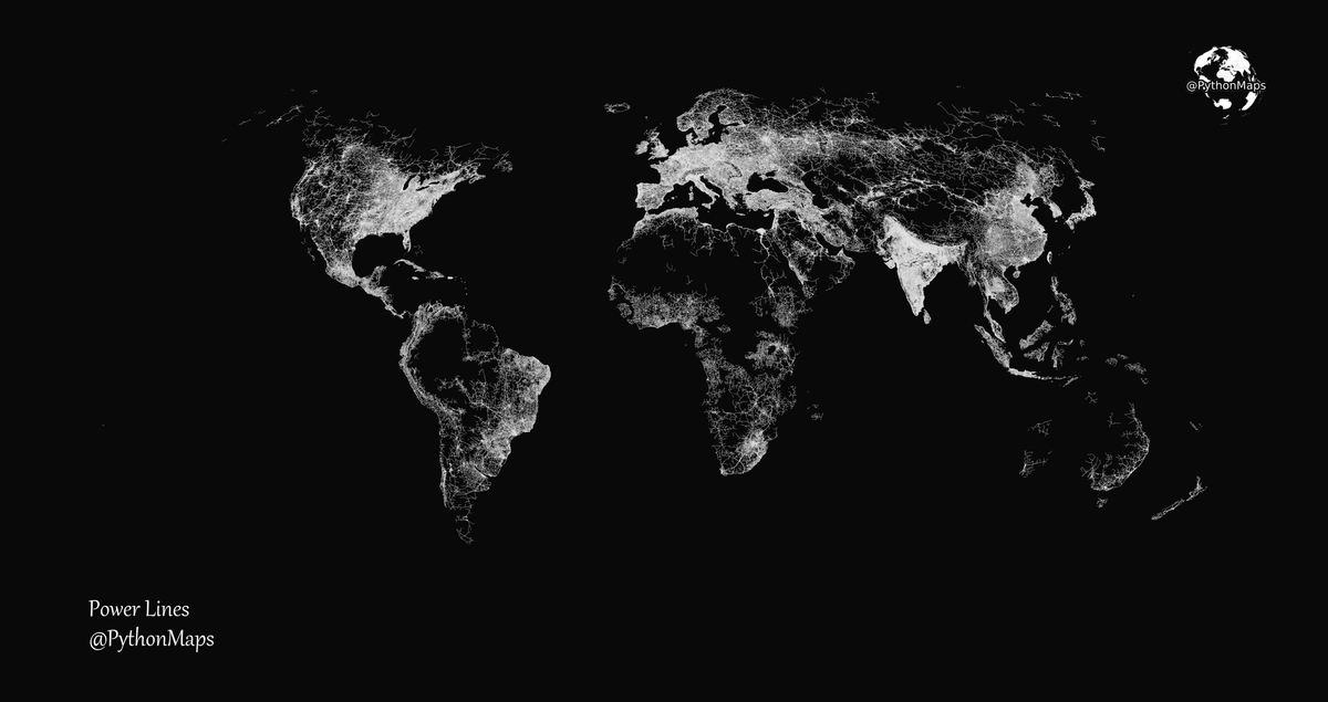
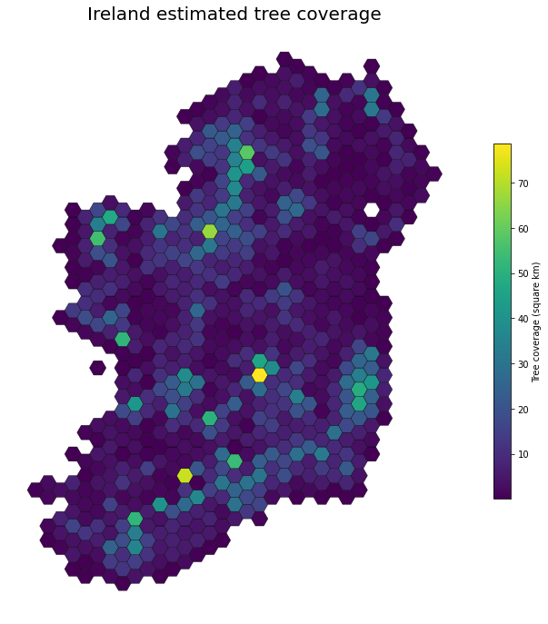
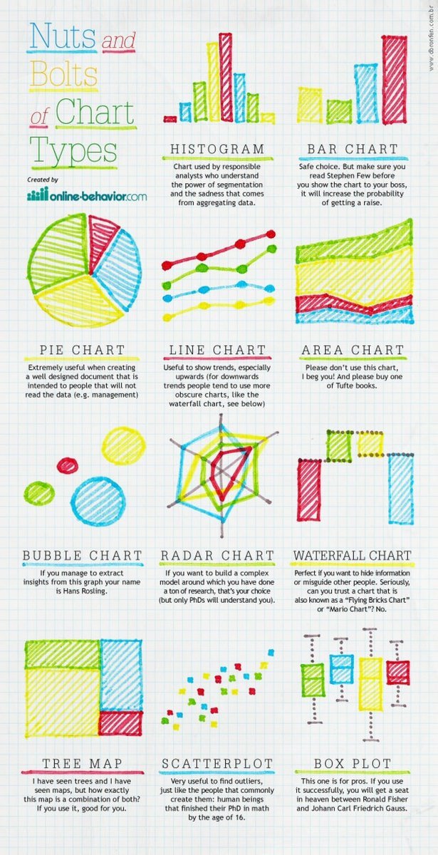
I like to plot the data and avoid plotting contextual information like borders or countries. However, here is an Africa rivers map with the coastlines plotted. Do you prefer it?
This map was generated using #Matplotlib#Numpy#Geopandas.
#Python#DataScience#Data#Africa.