📢 Checkout:
2025 LiDAR (1m DEM) and matching aerial imagery now live on LDS and Basemaps.
Captured concurrently for seamless integration.
📊 Visualisations created using AerialOD.
🔗 https://t.co/3B7ltRIpEK
🗺️ Imagery: https://t.co/KIwXXioZ4j
#OpenData#LiDAR
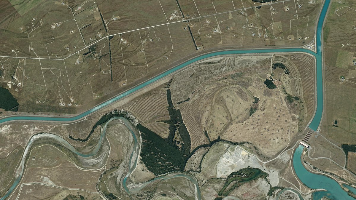
🛰️ New 7.5 cm high‑resolution aerial imagery for the Mackenzie District is now available
🔎 Explore: https://t.co/IvbS4EuZNZ
🗺️ Basemap: https://t.co/sqf4OX0rR3
Thanks @mackenziedc (Image: Ohau Canal, west of Twizel)
#opendata#LDS#AerialImagery
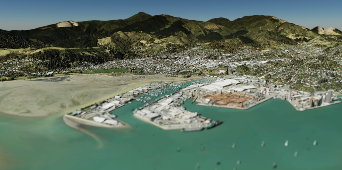
🛰️ New 7.5 cm high‑resolution aerial imagery for Nelson is now available
🔎 Explore: https://t.co/shG9QMugVw
🗺️ Basemap: https://t.co/akBCbQb9fi
Thanks @nelsoncitynz 🙌 (Image: Tāhunanui Beach)
#opendata#LDS#AerialImagery
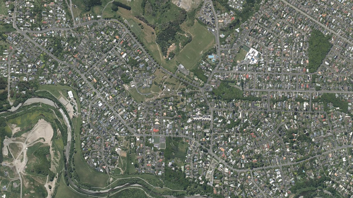
Aerial imagery alert! Kapiti Coast, captured at 7.5cm res – our 2025 urban aerial photos are live on the LDS and Basemaps. Thanks to Kapiti Coast District Council
🗺️ LDS: https://t.co/DIerBkG9XZ
🛰️ Basemaps: https://t.co/aFBX3fTkTv
📍Image: Waikanae
#LDS#AerialImagery#OpenData
📸 New imagery dataset published! Fresh high‑resolution imagery over Taupō, captured by Taupō District Council, is now live on the LINZ Data Service.
👉 LDS: https://t.co/mT6qr6qyZ9
🗺️ Basemap: https://t.co/o84AJln9sR
Image (Taupō)
#OpenData#AerialImagery#LDS
📸 Bay of Plenty 0.1 m urban imagery (2025) is live Now available on the LINZ Data Service, captured over the 2025–26 summer.
Image shows Te Kaha.
Thanks to BOPLASS Ltd.
👉 https://t.co/mBPCaoG0lC
🗺️ https://t.co/Nm9MkUTlZi
#OpenData#AerialImagery#LDS#LINZ
🚨South Wairarapa (2025) LiDAR now on LDS.
🔗 DEM https://t.co/NX8It1RjqF
🔗 DSM https://t.co/d1DhtGzqt0
🔗Point Cloud https://t.co/OY8VogUpPL
#LiDAR#OpenData
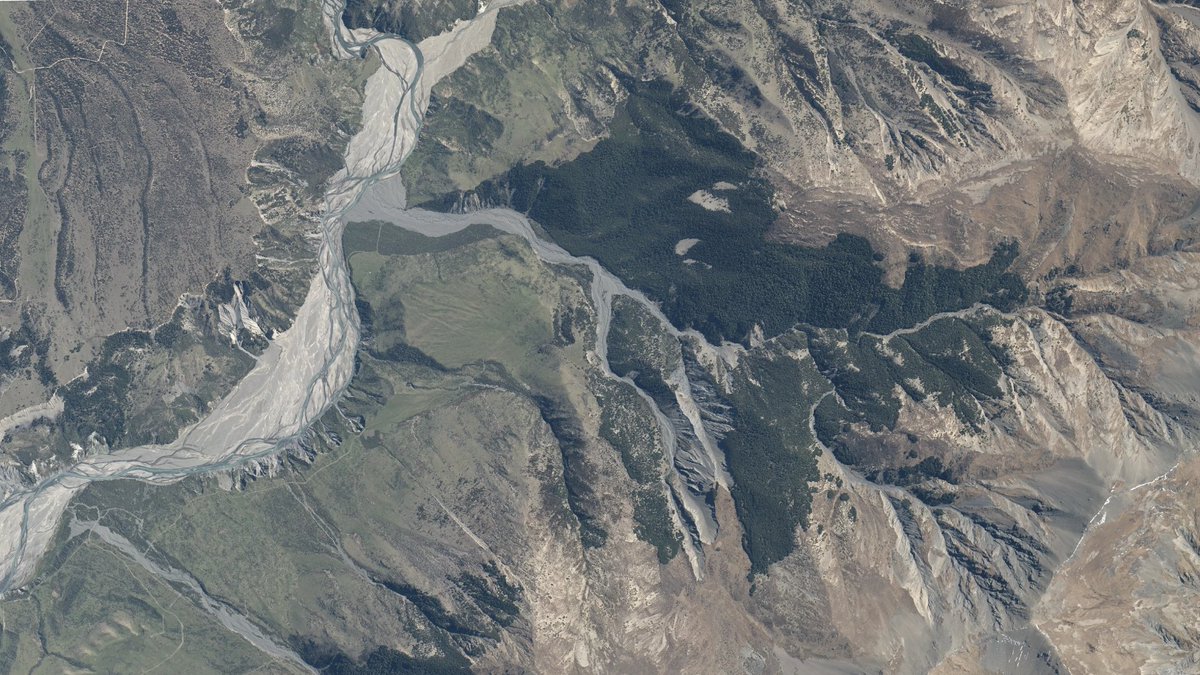
Image: REM of the Ruamāhanga River. See https://t.co/4krMdtQjge
#OpenData#LiDAR#LDS
Fresh 0.05 m urban aerial imagery for Gisborne has landed ✨
Captured for Gisborne District Council and BOPLASS by Woolpert.
Explore it on the LINZ Data Service here: https://t.co/BtQRmrWH7O
Basemaps: https://t.co/nr2VRqlM58
Image (Riverpoint Road) #LDS#Imagery#opendata
🌤️ New imagery release! Our 0.25m rural aerial photos (2025) for Waimakariri are now live.
Image: where Newton Stream meets the Esk River. Thanks to @waimakariridc
Explore on LDS and Basemaps: 🔗 https://t.co/iJBKbUwPgQ 🗺️ https://t.co/lLjW9HoOXk
#OpenData#AerialImagery#LDS
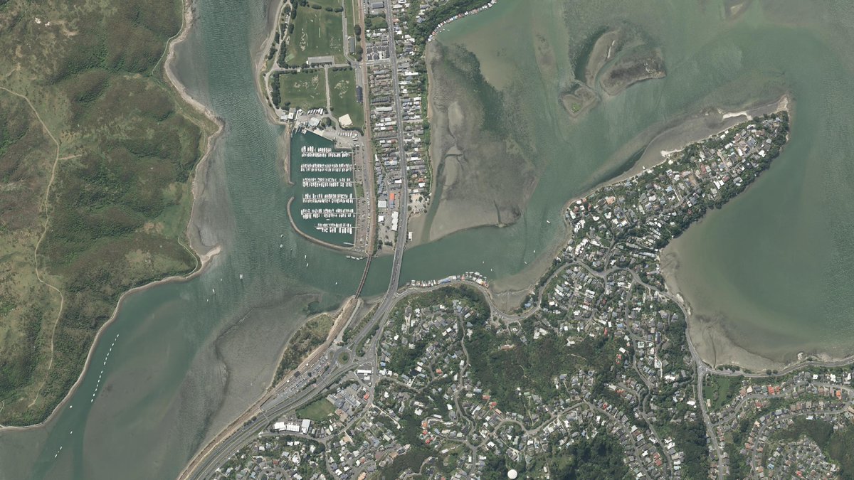
🚀 New release!
We’ve published 7.5cm urban aerial imagery captured by Porirua City Council — thanks @porirua_city 👏
Explore it now on LDS and Basemaps:
🔗 https://t.co/ZJFWQpQt9i
🗺️ https://t.co/cyIZUuzNc3
#LDS#OpenData#AerialImagery
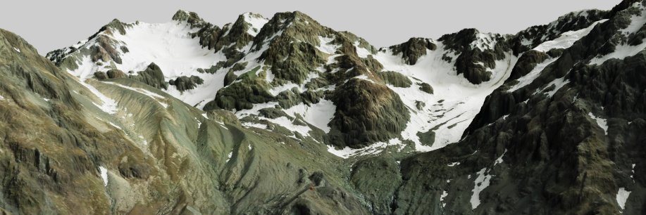
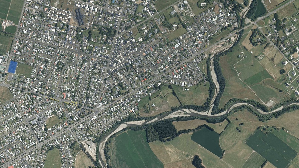
Canterbury’s latest LiDAR is up now, covering Christchurch city and Lyttelton Harbour. Download the DEM, DSM and Point Cloud from the LINZ Data Service: https://t.co/we7PFJNowj🛰️🌿Thanks @ECan
✈️Want to learn more about aerial imagery available via LINZ publishing channels and planned imagery surveys in your region, visit the new https://t.co/3FGiNIZCSN
#esri#opendata
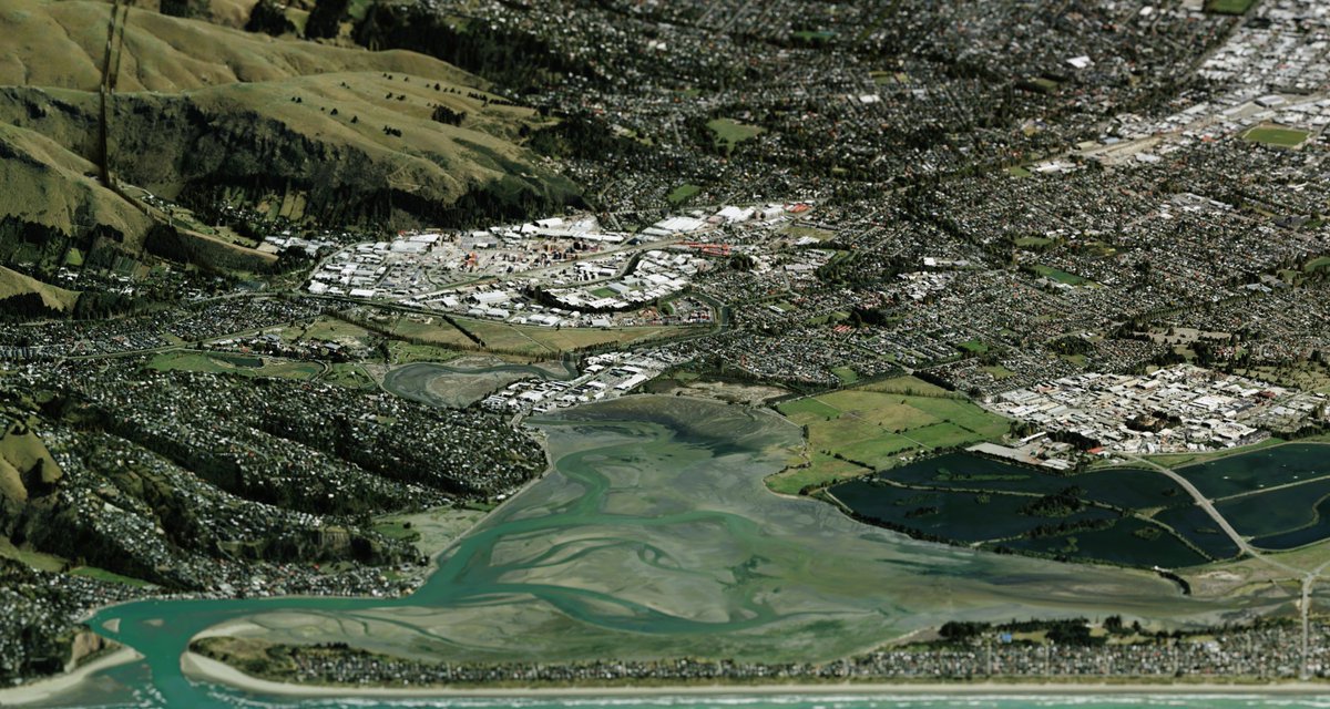
🚨 New Christchurch 2025 aerial imagery now live!
🖼️ 7.5cm & 5cm resolution of CBD & Lyttelton Harbour
🔗 LDS: https://t.co/MAmVGoLtyP & https://t.co/AU1PHqdyXP
🗺️ Basemaps: https://t.co/JORA7ooiG2 & https://t.co/6mQbVmWRwz
Thanks to @ECan#Opendata#LDS#AerialImagery
We've refreshed NZ Building Outlines for rural Waikato —around 223,000 buildings updated. This follows updates for Hamilton, Gisborne, Marlborough, Taranaki & Manawatū-Whanganui. Check it out on LDS: https://t.co/yuyqFDxgZ4
📷Image: Waikato #OpenData
📢 New Data Release
The Selwyn 0.2m Rural Aerial Photos are now available via the LINZ Data Service & Basemaps.
🔗 https://t.co/bPBGxtPEF3
🗺️ https://t.co/7EFpzS3HlV
Thanks to @ECan (Image: Rolleston)
#OpenData#AerialImagery#LINZ
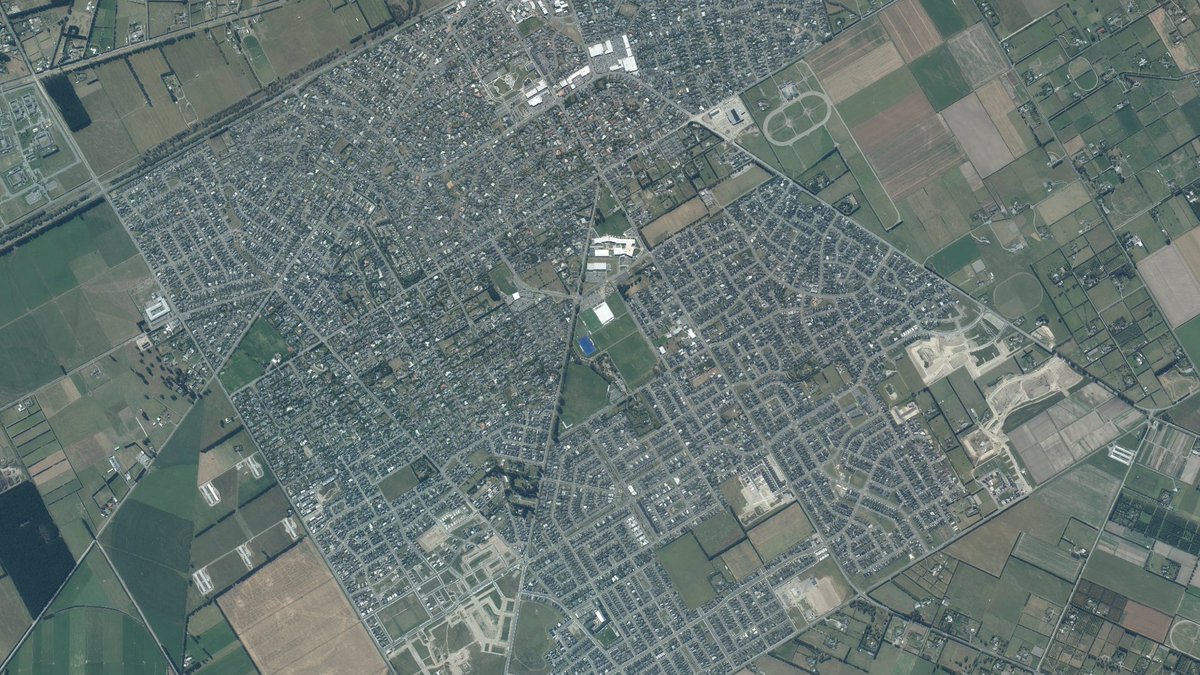
🚁 Fresh 2025 aerial imagery of Hamilton now live on LDS & Basemaps!
📏 Captured at 5cm resolution for crisp urban detail.
🔗 https://t.co/Y65YmOYtau
🗺️https://t.co/yedGpk8VE4
🙏 Thanks @CouncilHamilton!
#LDS#AerialImagery#OpenData
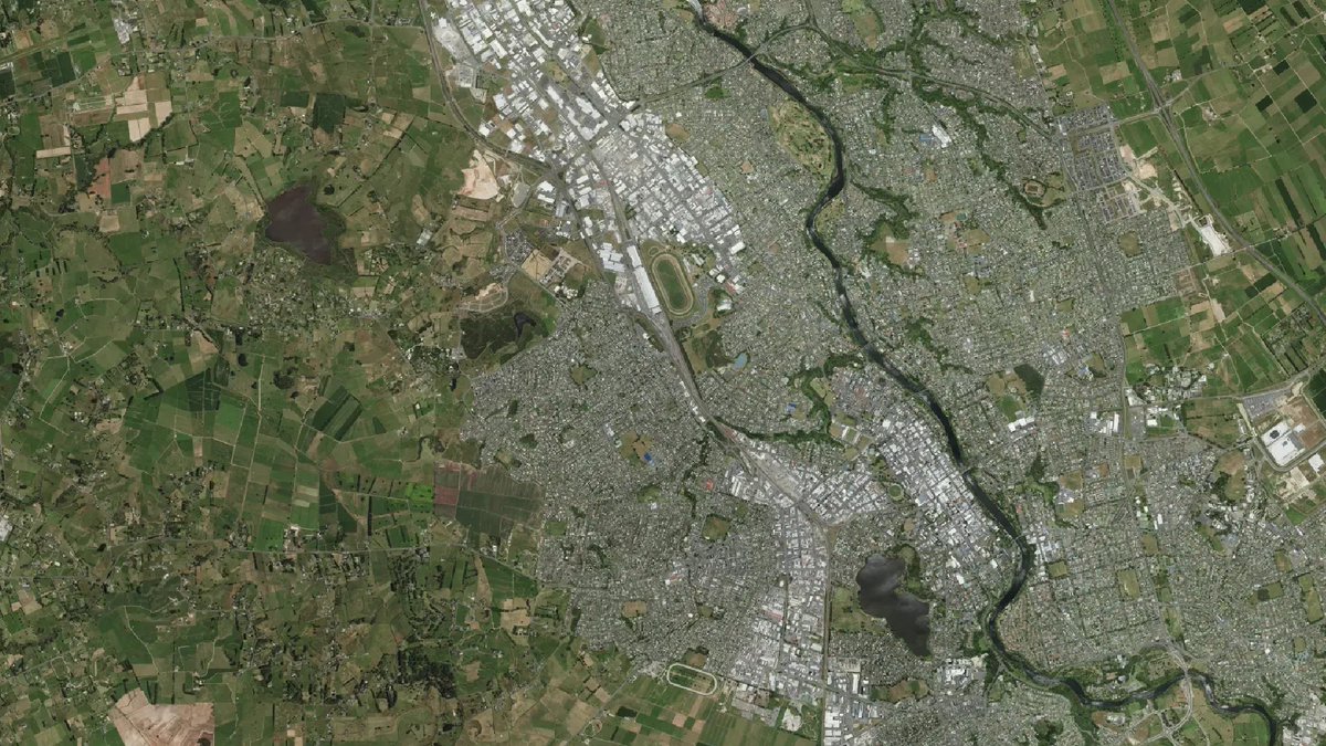
🆕 New urban aerial imagery for Waimate (2025) is now available on LDS and Basemaps.
Captured by @ECan, this update replaces the 2022 dataset.
🔗 LDS: https://t.co/BlfuDZRelz
🗺️ Basemaps: https://t.co/Nh7kvIU5tX
📍 Image: St. Andrews
#LINZData#AerialImagery#OpenData
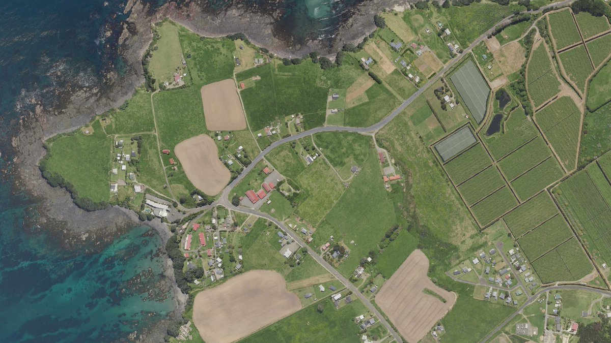
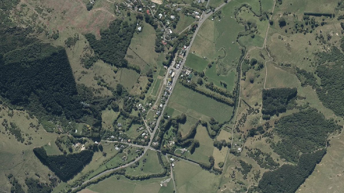
📢 A new aerial imagery dataset captured by @ECan is now live on LDS and LINZ Basemaps:
🔗 LDS: https://t.co/dEBFaSiJsm
🗺️ View in Basemaps: https://t.co/wwUSSf5yVe
📍Image: Little River
#OpenData#aerialimagery