LISTECH, part of Hexagon, creates geospatial software solutions that support surveying, civil engineering, construction and infrastructure applications.
We understand that work doesn't always happen behind a desk or in an office. That’s why we’ve created LISTECHAccess Anywhere network licensing. For June 2021, you can upgrade a standard licence on LISTECH Cover to Access Anywhere for FREE. https://t.co/mXMoVCFl5z
Access Anywhere network licensing lets our customers be productive from anywhere. Whether you have multiple users in one office, multiple offices or remote users, Access Anywhere lets you work in the office, at home, remotely on-site without your productivity being impacted.
We are pleased to announce the latest release of LISTECH Neo. This release includes numerous new features, improvements to existing functionality and the exciting network licensing option to give you the ultimate flexibility. https://t.co/hJG34LPxDW
We are pleased to announce the latest LISTECH Neo release.
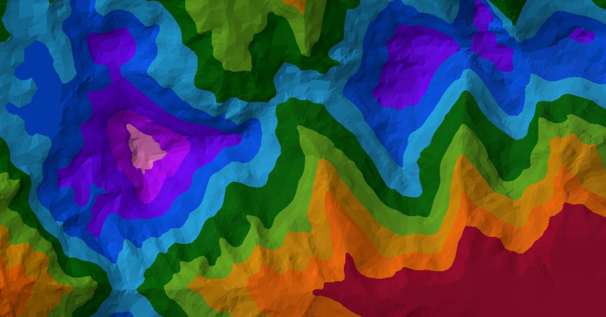
Learn more about the enhancements such as the Free Neo Viewer, new Examine Area, new Create Shape by Terrain Model Colour Bands command and many more.
🆕 Full list of updates at https://t.co/kZ00yQYfMv
LISTECH Neo easily handles large data sets and supports the import and export of many file formats to give you the ultimate flexibility – all while allowing you to work with speed in a Windows environment. You can try it for free at 👉https://t.co/zXQrrmnJvn
#surveyingsoftware
We understand that sometimes you might need longer to evaluate software, so we have extended our 14-day trial period to 30 days for a limited time. No obligations and no credit cards needed. Request a 30-day LISCAD trial today
👉 https://t.co/qvPiIZnxxS
LISCAD 2020 is now available! Learn more about the enhancements such as the Line Comparison by Line report which enables automated detection of lines that are too close to each other based on user-specified values. Full list of update at https://t.co/oI3plAJ1zg
Did you know that LISTECH Neo has a Point Cloud module that lets you import and export a range of standard data formats including PTS, LAS/LAZ and E57?
Until March 31 you can save 20% across all Listech Neo modules. Learn more > https://t.co/Rncz0Uq70j
Listech Neo transforms raw data into useful information, with the capability to handle large 3D datasets, versatile 3D and 2D viewing, and much more. For the month of March, save 20% on all LISTECH Neo modules. Find out more > https://t.co/Rncz0Uq70j
WELCOME TO OUR NEW SITE. We’re excited to announce that our new and refreshed website is live. You can view it here ➡️https://t.co/HR74keg8Wl. We’ve improved the navigation, and the structure of our content, so you’ll get more from a quick read. Plus much more!
Software that lets you easily exchange attribute rich data with flexibility. Neo handles large data sets and supports the import and export of many file formats so that you can work with speed and in the familiar Windows environment. Learn more about Neo https://t.co/sHV2kuGoxG
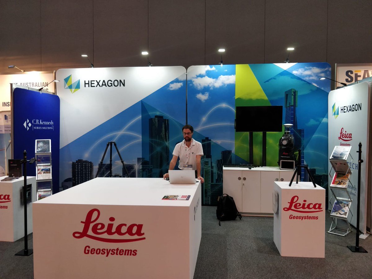
We are at the South East Asia Survey Congress this week @SSSI_AU. Stop by our booth to learn about the lastest Listech Neo release. This upgrade contains the most requested features by our advanced users. See it first at the #SEASC19#surveyingsoftware#surveylife
We are excited for INTERGEO 2019. We look forward to welcoming you at the @HexagonGeo stand in Hall1, B1.022. See you there! @InsideIntergeo #INTERGEO19
Not long now until the @LocateConf ! Stop by and say hello to the team at BOOTH 35 to learn about the latest @LISTECHSoftware Neo updates. Hope to see you in Melbourne! #Locate19#LISTECHNeo
A major upgrade to LISTECH Neo is here! The release includes many user-requested features including; filtering of point, line, polygon and text objects, image brightness control, splay creation, angle text creation and many more. Full list of features > https://t.co/0qCyzZS7pu
@LocateConf is just around the corner! Connect with us at the @HexagonAB booth 29. Stop by, say hi & see how Listech Neo can help visualise, compute, design, validate & exchange data for your next project. Plus so much more from @HxGNSmartNetAUS & @LeicaGeosystems! #Locate19