@rivera__ron Hi Ron, It has been really gusty with onshore winds and fog lately. Hot temperatures in the 90s-100s in the central valley cause the air to warm at the surface and rise. Colder, more dense air is drawn in from the much cooler coast to replace it.
Caught a picture of this UAP above the Peninsula in the Bay Area at 3:20 pm. You can see the plane below and the object above at a much higher altitude. Any ideas? Balloon possibly?
@giants4949 Hi Joe,
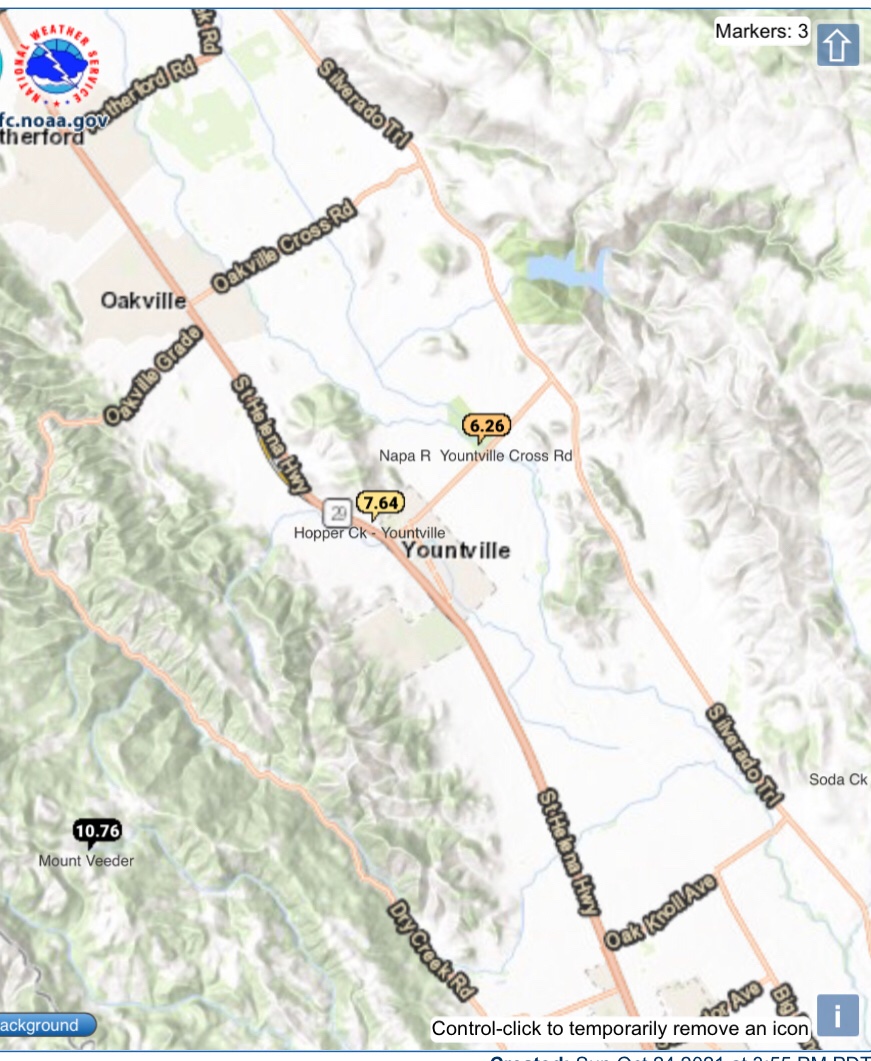
Every year is different. The two previous years were two of the driest consecutive years on record. This year the rain has been relentless. More big storms and flooding likely in the next 10 days at least. Hopefully we’ll enjoy a nice sunny Spring
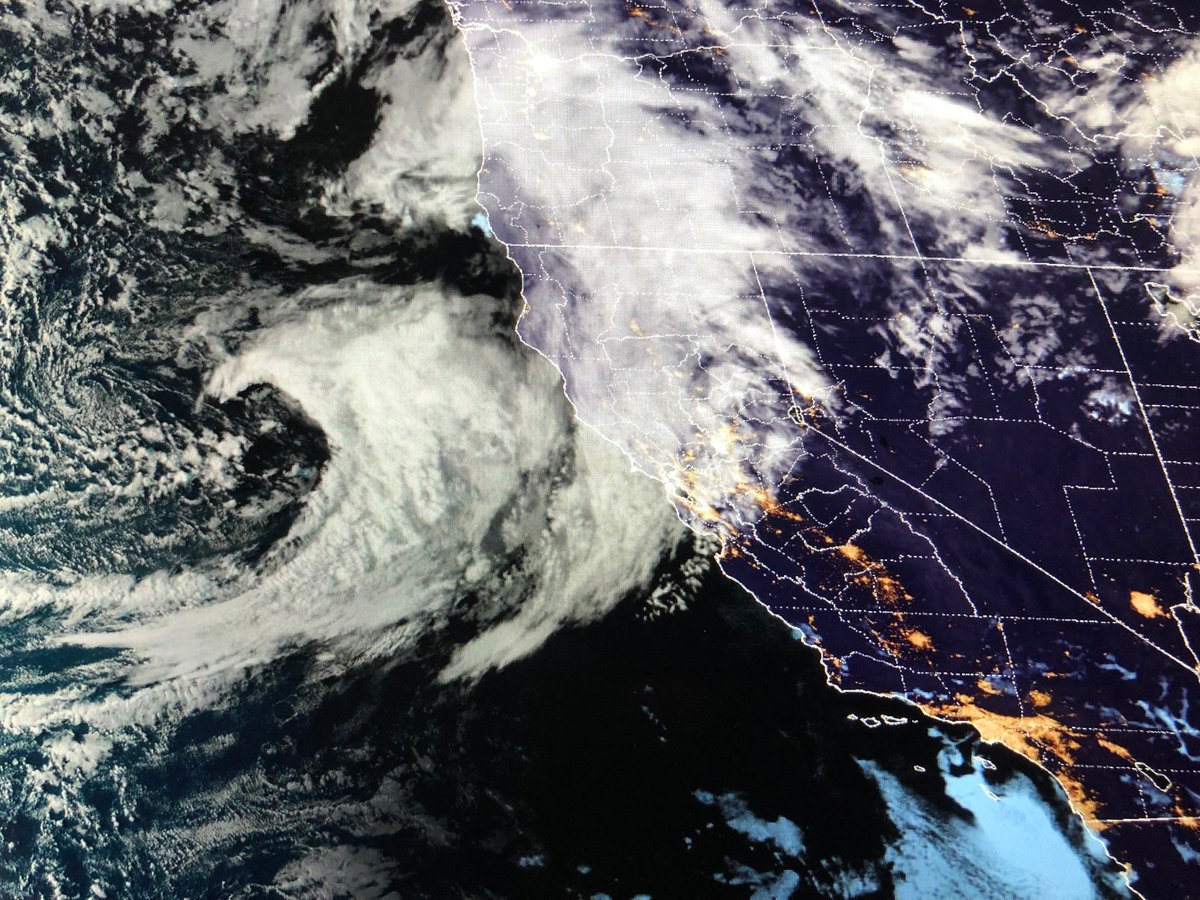
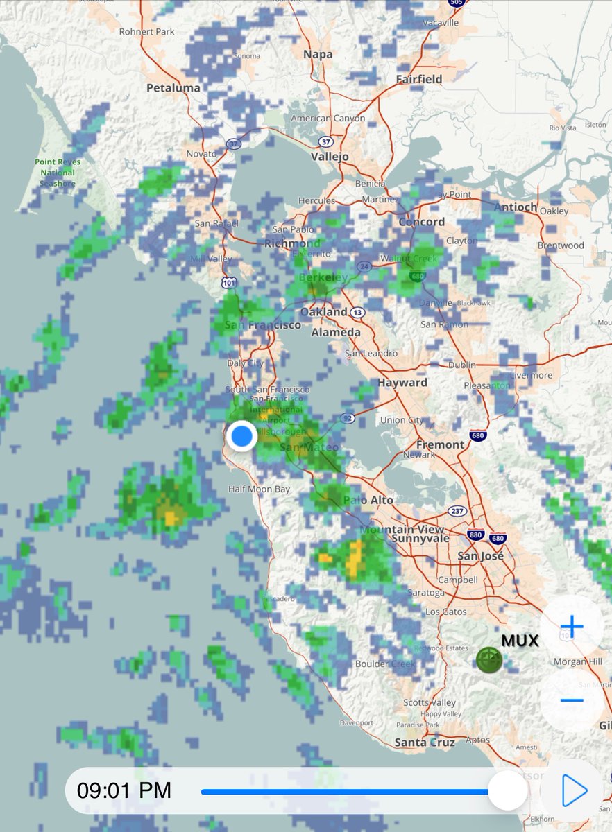
An impressive late Summer Storm zeroing on the Bay Area. Periods of heavy rain and gusty winds will begin late tonight! Early rains usually bring up slippery oil on the roads. Strong winds could also bring down some trees. Enjoy and watch @kron4news for all of the latest!
HALLOWEEN WEEKEND 🎃: Need something fun to do this Halloween weekend? Here are @LawrenceKarnow's 4 Fun Things to do this weekend in the Bay Area:
https://t.co/cjIeaWQeJl
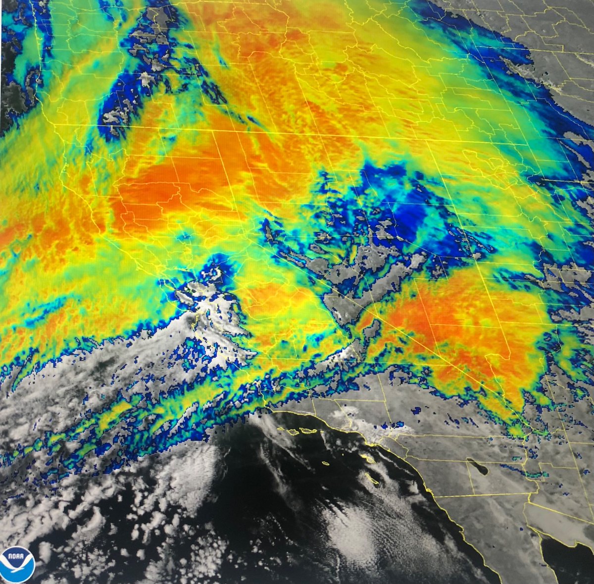
This is Infrared Satellite image of our storm. The yellow and orange the colder cloud tops and more intense storms. Those storms are now moving south into the North Bay and soon the rest of the Bay Area. We have a long way to go! Watch @kron4 news for the latest!
Winds are now gusting to almost 70 mph. Highest gusts are over the mountains but many urban areas are seeing gusts between 30 to 50 mph too. The winds will likely intensify over the next few hours as the storm moves through Power outages are likely. Watch @kron4news