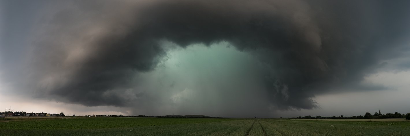
https://t.co/4lD51Or4r9
Chasing storms, chasing cyclones, or both? Check out this absolutely stunning shot from Basehunters, showing the... https://t.co/8sP950TrU0
For our Dutch followers: vanavond op NPO2 om 20:45 uur een item over bliksem. Namens LVL3 mochten we ook een rol vervullen ;) . https://t.co/JANKNDAZ08
Tropical cyclone frenzy in the Pacific Ocean! Caught beautifully in these MODIS true color images taken over the past 2 weeks;
- First there was Hurricane Hector, passing as a high end cat4 just south of... https://t.co/0vyeL60Y7s
On Thursday 9 August 2018 we decided to go chase a very promising setup in the Dutch-German border region. A sharp shortwave trough would ride northward along a longwave, creating a volatile coktail of... https://t.co/vad2MwqHar
Radar animation of an intese squall line over North Dakota with distinct bow echo and MCV features. This system formed under ~4kJ/kg of CAPE and 60kt of effective bulk shear after the coalescence of several... https://t.co/TgbgtMyzXX
Here is a slightly slower and improved time lapse of the noctilucent clouds that could be seen over the Netherlands yesterday. You can also find a high quality 4K version here: https://t.co/rFm4EBVWVK https://t.co/8GJRCEFccD
Beautiful upslope set-up in NE Colorado yesterday, 18 June 2018 with 1.5-2kJ of SBCAPE (up to 2-3kJ further NE) under 50-60kt effective bulk shear and strongly curved hodographs. Several classic supercells... https://t.co/cMAkiWk8kP
Beautiful display of noctilucent clouds over the Netherlands last night, as seen on this time lapse taken in Utrecht. Note the wave-like behaviour in the stratospheric clouds and opposing motion compared to that of tropospheric clouds below; https://t.co/EfZhyyPndZ
Here is a short time lapse compilation of lightning shots from a nocturnal supercell that we chased between Wissembourg (FR) and Karlsruhe (DE) on 10 June. Watch the rotation on the flanking line towers to... https://t.co/Z04SievuTe
Some 80dBZ supercells tracked along the US-Canadian border in North Dakota yesterday, where up to 4kJ/kg was available under high deep layer shear. A few elevated storms passed in the morning with visible... https://t.co/nXCrBSQ9IA
This video we shot yesterday on the German A8 highway near Saarbrücken has been uploaded to several pages, but not here. So... time to catch up! We wouldn't have driven through the water (chances of drowning... https://t.co/H6v98zR9Oc
Pretty uncommon sight over Western Europe, captured by yesterdays MODIS true color imagery. You can nicely distinguish a warm front stretch all the way from E Germany to the core of the low over NW France and... https://t.co/7xqJ8K26HB
https://t.co/rbUYfqnxR6
Great animation of Offenthal doppler radar reflectivity from our friend Bram van 't Veen, showing the development of a supercell we intercepted near Frankenthal, Rheinland-Pfalz. You can clearly see the cell split... https://t.co/rbUYfqnxR6
Impressive conditions around the triple point (T-shaped intersection of cold front and warm front) near the FR-DE-LU border, where we had an amazing chase yesterday. The deepening thermal low over S Germany,... https://t.co/wQHS9kSEN2
Intense right mover and 2 more recent splits near the Slovenian-Croatian border at this moment. The Zagreb 12z sounding already showed ~2kJ/kg of MLCAPE under >20m/s of effective bulk shear and decently curved... https://t.co/FGwI9DYjj4