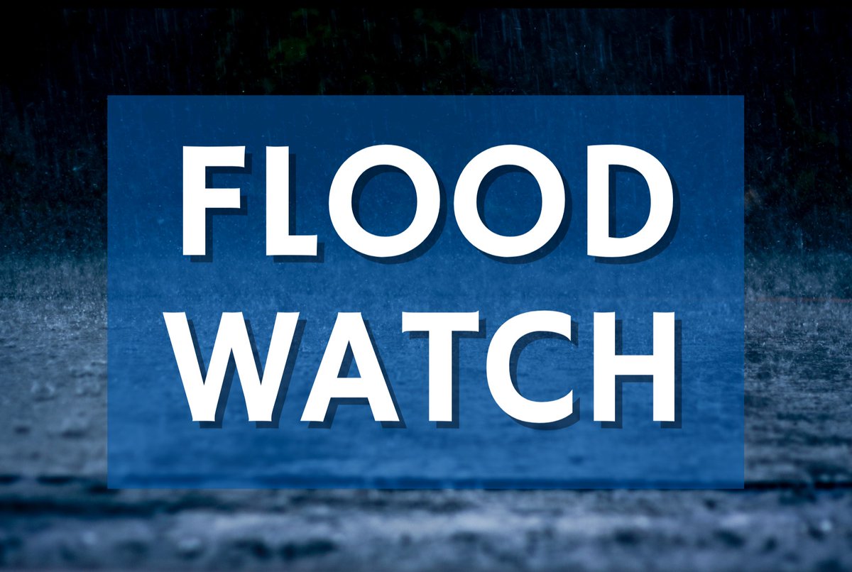
Lexington is still under a Flood Watch until 2:00 AM Thursday, May 28. Flooding from excessive rainfall remains possible. Slow down & use headlights when driving in heavy rain. Never drive through floodwaters or flooded roads. Turn around, don't drown!
A Flood Watch is in effect for SE Indiana and north central Kentucky today into tonight. Localized areas of 1-2" of rain possible from training storms. Use caution and never drive across flooded roadways.
⚠️ TRAFFIC ALERT ⚠️
N Limestone between Glenn Pl and Wittland Ln.
The roadway is closed in both directions due to a semi that hit power lines. There is a power outage in the area affecting approximately 687 KU customers.
Lexington is under a Flood Watch until 2:00 AM Thursday, May 28. Flooding caused by excessive rainfall continues to be possible. Stay weather aware and never drive through floodwaters or flooded roads. Turn around, don't drown!
1-1.5 inches of rain are expected for Lexington through Wednesday. Heavy rain could lead to flooding in some areas. Make sure your headlights are on and slow down when driving. Remember, never drive through floodwaters or flooded roads. Turn around, don't drown!
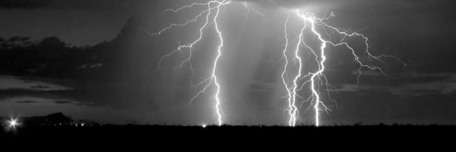
⛈️Severe Storms and Flash Flooding Potential Today
Scattered strong to severe storms will move through the area this afternoon into early this evening.
☔️Localized swaths of 2-3" could lead to flash flooding in areas. Avoid driving through flooded roads! Turn around don't drown!
⚠️ TRAFFIC ALERT ⚠️
Due to a traffic accident at W Main St and Price Rd, inbound W Main St is shut down at N Forbes Rd. Outbound W Main St is shut down at Newtown Pike. Expect significant delays in the area. Motorists should seek alternate routes.
⚠️ TRAFFIC ALERT ⚠️
Due to a traffic accident at W Main St and Price Rd, inbound W Main St is shut down at N Forbes Rd. Outbound W Main St is shut down at Newtown Pike. Expect significant delays in the area. Motorists should seek alternate routes.
Chances for showers and thunderstorms will decrease throughout the day today as a cold front slowly moves east. Rainfall totals will be less than yesterday and last night, with accumulations up to 0.50" forecast. Isolated downpours could cause locally higher amounts.
Bands of showers and storms will pivot northward across central KY and southern IN through the evening hours, bringing a risk for localized heavy rainfall and flooding. Localized rainfall amounts in excess of 2 inches will be possible in areas that see repeated storms.
May 17-23, 2026, is National EMS Week! We are grateful for the exceptional dedication and sacrifice of those who provide emergency medical care to Lexington. Thank you to all the Lexington Fire Department EMS providers for your commitment to our community!
Today is the final day of Heat Safety Week!
Friends don’t let friends get a sunburn. Here’s your safe summer checklist:
✔️ sunscreen
✔️ sunglasses
✔️ hat
✔️ protective clothing
✔️ shade
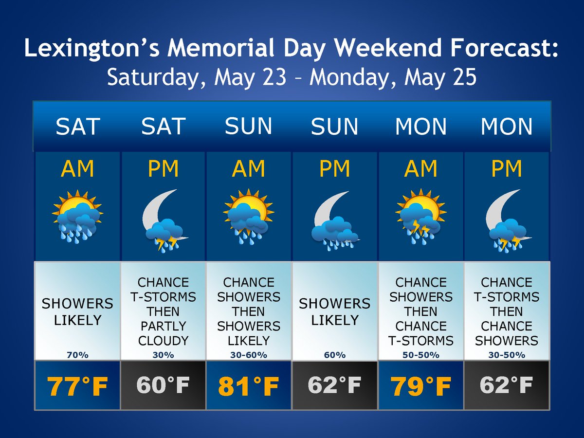
A Flood Watch is in effect for Lexington through Saturday morning, May 23. Flash flooding caused by excessive rainfall is possible. Never drive through floodwaters or a flooded road. Turn around, don't drown!