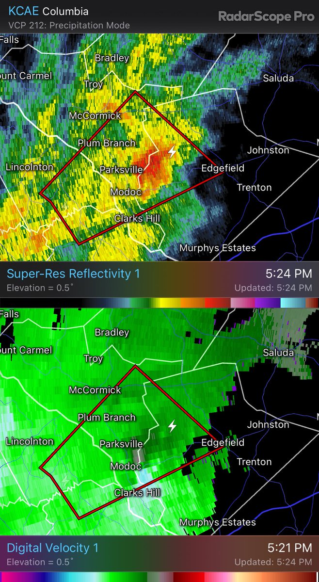
A tornado warning has been issued for storm with radar indicated rotation & large hail. It is moving toward southern Leesville and to Pelion. KCAE - Super-Res Reflectivity 1 10:22 PM #scwx
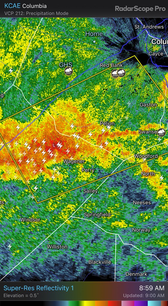
A Severe Thunderstorm Warning has been issued for Aiken & Lexington counties until 9:30AM. These storms are moving NE into LexCo with 60 mph winds and quarter sized hail. KCAE - Super-Res Reflectivity 1 8:59 AM #scwx
We are under a Severe Thunderstorm Watch till 1PM today. Storms in GA already have several warnings, including a tornado warning. So be watchful of the weather today. KCAE - Super-Res Reflectivity 1 7:57 AM #scwx#gawx
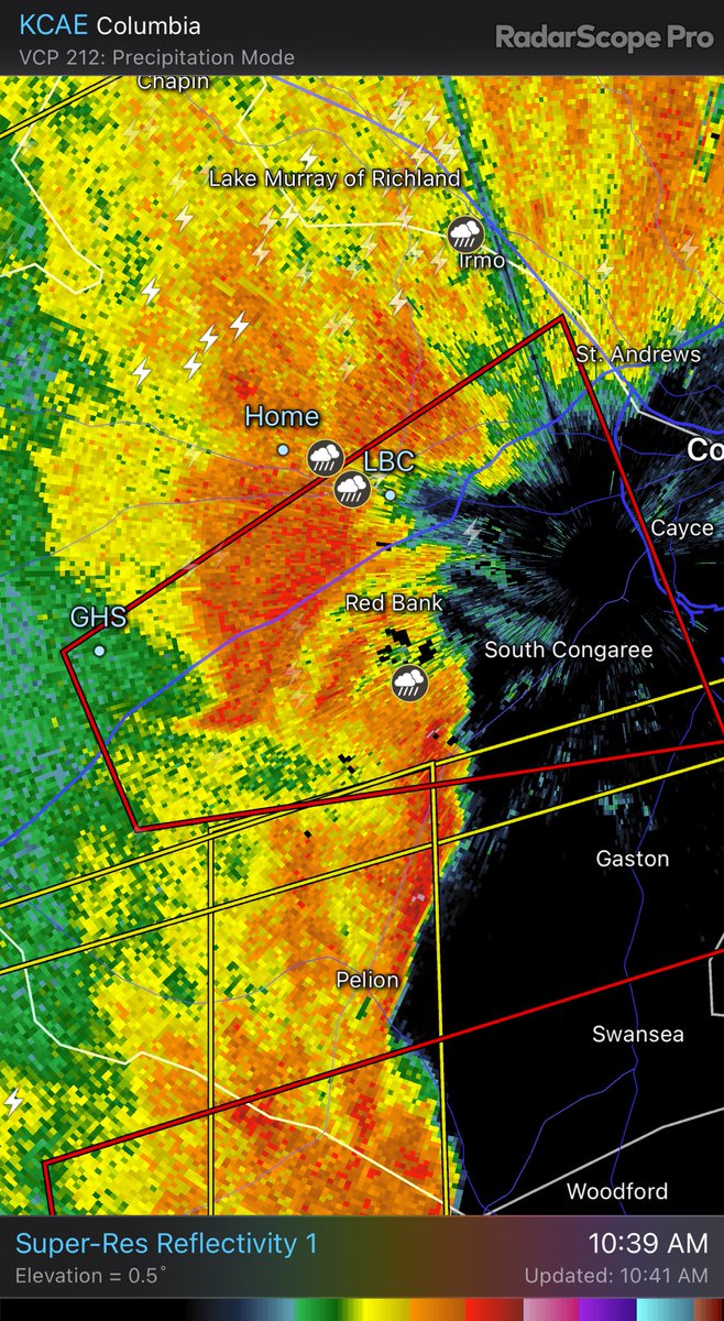
The worst of the storms are past Lexington now. Flooding could be an issue as moderate rain sticks with us a while. KCLX - Super-Res Reflectivity 1 11:16 AM #scwx
Multiple Severe Thunderstorm Warnings have been issued. Storms with 60 mph winds and hail moving eat at 25 mph. KCAE - Super-Res Reflectivity 1 9:56 AM #scwx#gawx
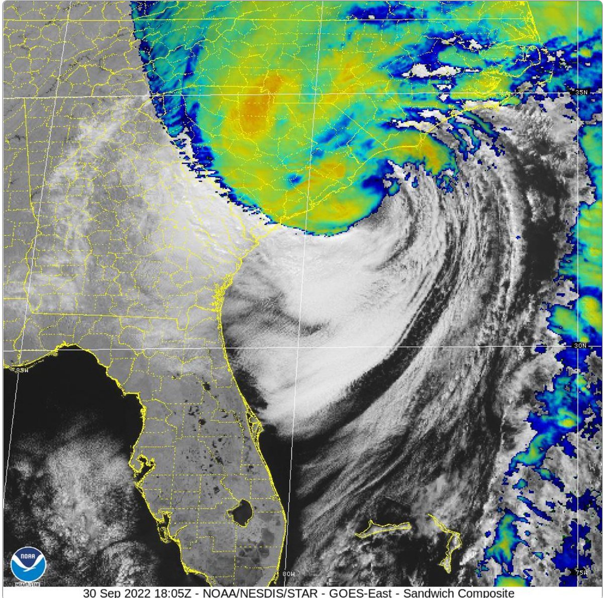
Update: Surface observations indicate that the center of #Hurricane#Ian made landfall on Sep 30 at 205 pm EDT (1805 UTC) near Georgetown, South Carolina with maximum sustained winds of 85 mph (140 km/h) and an
estimated minimum central pressure of 977 mb (28.85 inches).
Tropical Storm Warning is now in effect for the Lexington/Richland area. Today expect winds 20mph gusting up to 30. Rain to begin early morning. 2-4”. Winds tomorrow 20-30mph gusts may reach 60mph! #scwx#TSIan#holdon
Lexington County is now under a Tropical Storm Watch for Hurricane Ian. Ian made landfall this afternoon in Florida as a Cat 4 (almost Cat 5) hurricane. It will weaken as it passes over the FL peninsula over the next 24 hrs or so. Then make landfall again on south SC coast.