100 Million Edits to OpenStreetMap! The collective contribution of nearly 1 billion features globally over 16 years, by over 1.5 million mappers. Changeset 100,000,000 was uploaded by user Lamine Ndiaye, adding buildings in Nianiane, Sénégal. https://t.co/FMEU5YJAOI
Adding that Nassau and Suffolk County bus networks need to be split and revamped to meet PTv2 standards and be used by consumer apps. JOSM has a great set of tools like PT_assistant
It’s so satisfying to have the bus route relations on OpenStreetMap sorted so they can actually be used for public transport routing apps. So far M60 SBS, Q19 and Q44 SBS have been sorted. Lots more to go!
Nassau positivity rate is 2.99% while Suffolk is slightly higher around 3.16% according to NYS DOH COVID data.
Common sense and wearing a mask will keep us safe while we await vaccines.
Please use reputable sources when making claims about the 🦠 to keep communities safe
This is a defining moment for Long Island.
We can save lives, keep kids in school, and help businesses stay open if we use our common sense:
▶️ Wear a mask
▶️ Stay 6 ft apart
▶️ Avoid unsafe gatherings
asking the geology people of twitter what is the densest scenario possible for Long Island, NY housing? I am reminded that the ground is not as solid what is under Manhattan.
Adding houses to Freeport because we need an accurate picture of suburbanization if we are ever going to reverse course! #OSMGeoWeek! https://t.co/rrjDeSxfLv
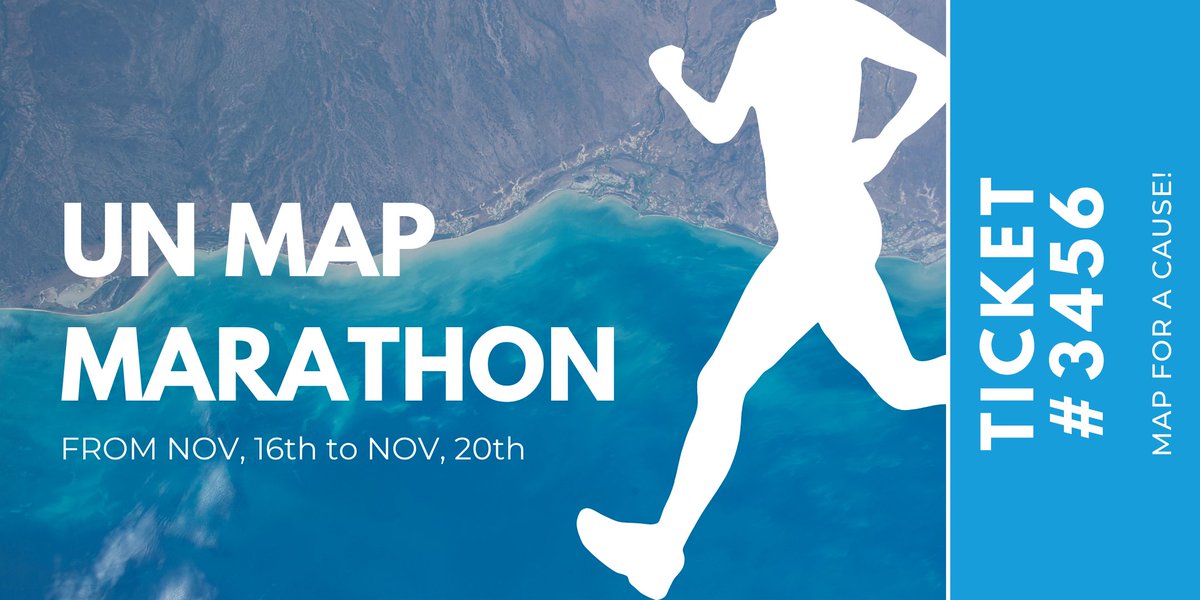
Ready for the Map Marathon? 🙌
Every day during the #OSMGeoWeek we will map in a different country:
🇨🇫 🇨🇩 🇸🇴 🇲🇱 🕊
Join our competition! The mapper that will contribute the most will be showcased on our social media
Subscribe and check times 👉 https://t.co/IqwefJWPLn
To celebrate National Cappuccino Day the task for Day 8 of 30 Days of OpenStreetMap is coffee shops. Place a point where the coffee shop is, add address, phone, hours, etc. Remember to add #30daysofOSM to your changeset to track your edits. More info: https://t.co/o35QFSk8hD
It's Election Day! For today's 30 days of OSM challenge, map your polling place! Remember to add "#30daysofOSM" to your changeset to track your edits. Find guidance on the wiki https://t.co/o35QFSk8hD & this post https://t.co/z884zhyStD #30daysofOSM
Beyond the Connect 2020 virtual event series, @OpenStreetMapUS will have a challenge to map for 30 days. I'll be retweeting content (and mapping of course!).
Check the OSM wiki page (United States/Events) regularly for updates
https://t.co/qVtnnlnMIB
Let’s get density on LI. Poll after poll, survey after survey show people want affordable housing in the form of apartments and multi family which currently makes up such a negligible % of current housing options
TRITEC Real Estate analyzes the "nextLI Presents: COVID-19 & Long Island’s Next Generation" discussion. Development analyst, James Coughlan, claims it is "imperative" to continue building mixed-use housing to keep young people from leaving Long Island.
https://t.co/8hFG2FOerr
Check out the @OpenStreetMapUS Connect 2020 free virtual weekend event with talks and Mappy Hours around all things OSM. Best part is that it takes place on Halloween weekend. Sign up!🎃🎃🎃🎃🎃
https://t.co/vV0t94cnS4
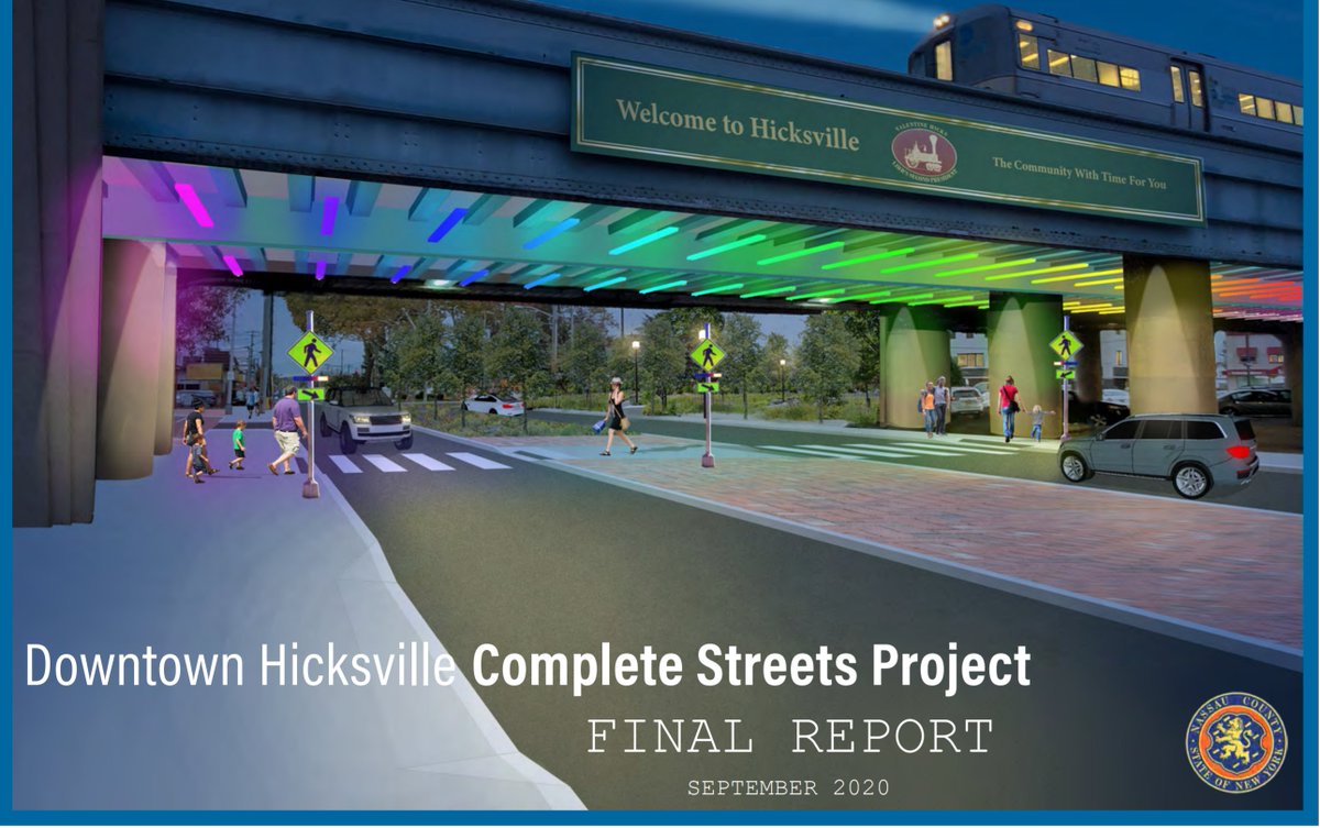
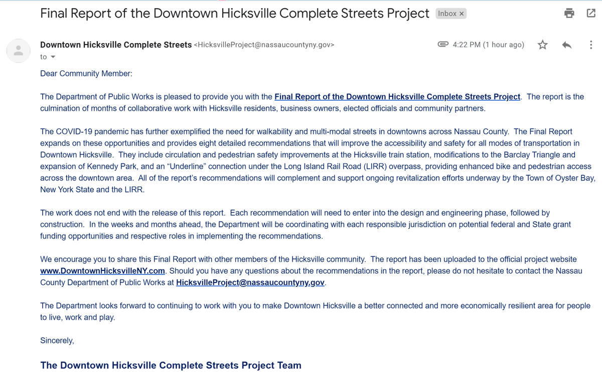
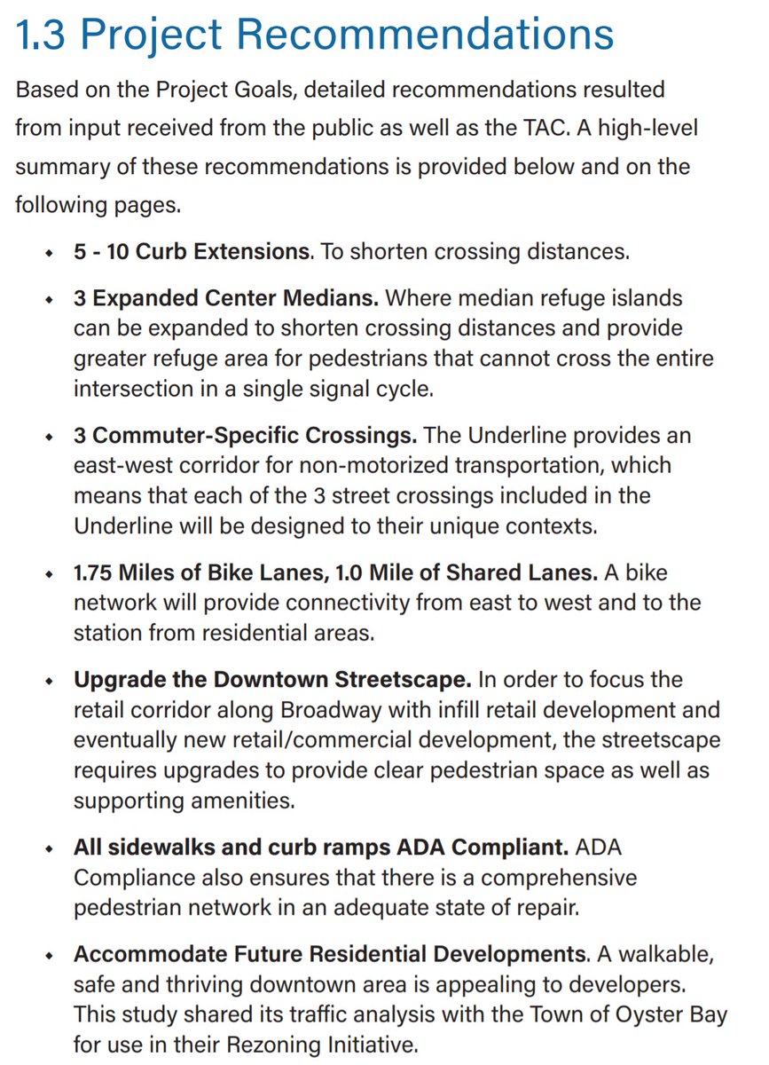
Check out what is going on in Downtown Hicksville. Improvements for better pedestrian and bike conditions for the Town of Oyster Bay :D https://t.co/KICLP6TI4u
Photo mapping the greenway conditions on Hempstead Turnpike by @HofstraU . Would have captured more but my iphone gently reminded me I don’t have enough space on my device 😭 https://t.co/D6piF6BxHY