Our team was on the ground with GPR surveys,detecting underground utilities without excavation. Accurate, fast, and safe. @InstitutionSurvey @KeNHAKenya@NLC_Kenya @EnergyKenya@NCA_Kenya@KenyaPower@SafaricomPLC @KenyaPipeline@WaterKenya
No grass too tall, no bush too thick, we get into the thick of it—every terrain is an adventure to us. 🌍
Contact Us: [email protected]
#MappingTheUnseen#RamaniGeosystems
We're pleased to announce @Ramani_Group as a Bronze Sponsor of the #EAUC2025. They're putting Africa on the Map with professional land surveying, aerial photography, aerial LiDAR,online spatial data and GIS and mapping services. Meet them, Register 👉🏾 https://t.co/u0csqV0r9B
These images of Kenya’s coast tell a story of transformation. Decades ago: a simpler shoreline. Today: buildings and new land—425m gained. Climate change, erosion, and human development reshaped it all. But now, whose land is this? 🤔🌊 #CoastalChange#RamaniMaps
🌍 Exciting News! Ramani Geosystems is heading to Stuttgart for #InterGEO2024! 🚀 Join us as we explore innovations in geospatial technology, connect with global leaders, and showcase our own solutions. See you at the world’s largest geospatial event! #InterGEO#RamaniAtInterGEO
Take your projects to new heights with our cutting-edge drone services! From 3D models and topographical maps to LiDAR point clouds and infrastructure inspections, we've got you covered.
Proudly partnering with Astral Aviation Ltd for even greater reach. [email protected]
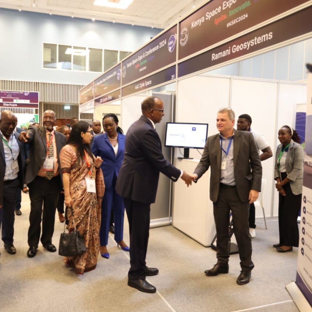
Exciting moments at the Kenya Space Expo! Our MD showcased cutting-edge solutions to the Defense CS H.E. Hon Aden Duale , sparking collaboration interest. This boosts our reputation and underscores Kenya's global space ambitions. #RAMANI@25 #KSEC2024
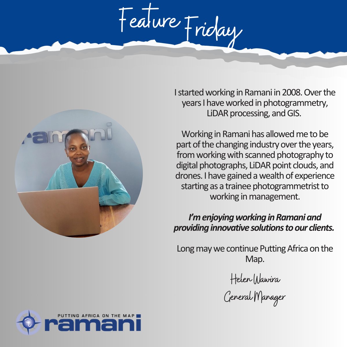
Today on Ramanis Feature Friday, we have an amazing woman, Helen Wawira, who shares, "I'm enjoying working in Ramani and providing innovative solutions to our clients." We truly appreciate your dedication and commitment, Helen. 🌟 #FeatureFriday#Dedication#Innovation#Ramani