Short, medium & long range forecasts for southern England. No hype, no like/rt bait. Snow watch Nov➡March, weather all year round. I'm the sensible one
Hello November👋
Snow watch starts here🚦
No sign of any snow conducive air, not even a first air frost either
High pressure largely dominates first 15-20 days of Nov, with mostly average temps
Less settled conditions & somewhat cooler air may arrive late in the month
During the coming week, we draw in that mouse from the east that I referenced in quoted tweet below
Max temps a little below average in the east all week and in the west from mid week, by which time maxes will range 5-8c
Will feel nice & chilly after all the recent mild air
Some details on quoted tweet below for end of Nov into early Dec
Is there a signal for HP to our north? Yes, quite a strong one
This will increase chances of an easterly air flow on northern side of low pressure systems
But no deep cold to our east so more mouse than beast🐁
With light winds & all that moisture after recent rainfall, dense fog has developed widely
Through Friday morning, the northerly wind will start to pick up, clearing the fog but reduced visibility is likely for the earlier risers ⚠️
darker blue zone probably longest to shift
I've now recorded 46.8mm since Sunday ☔
That'll do nicely
A quieter few days coming up now for most of us. A cheeky air frost for many on Fri night
the sw will see more heavy showers today & rain on Sat night/Sunday courtesy of a stalled front (parts of south coast too)
As per November forecast below, our largely high pressure dominated first half of Nov is now coming to an end
Sunday 15th brings the first of a series of low pressure systems in from the west
The second one on Tues might drop a little snow on northern edge - probably up north
@emma77911127 Thanks, yes it seems to be Alexandra park or bathwick meadow for me tomorrow. I hope it's not too cloudy! I took today's shots from around Victoria park
There remains no signs of any decent cold spells for the rest of November, or into early December either
We may get some colder air from brief northerlies as lows move across but that's it
High pressure may help keep the Atlantic onslaught modest rather than conveyor beltesque
Hello November👋
Snow watch starts here🚦
No sign of any snow conducive air, not even a first air frost either
High pressure largely dominates first 15-20 days of Nov, with mostly average temps
Less settled conditions & somewhat cooler air may arrive late in the month
Some details on quoted tweet below for end of Nov into early Dec
Is there a signal for HP to our north? Yes, quite a strong one
This will increase chances of an easterly air flow on northern side of low pressure systems
But no deep cold to our east so more mouse than beast🐁
There remains no signs of any decent cold spells for the rest of November, or into early December either
We may get some colder air from brief northerlies as lows move across but that's it
High pressure may help keep the Atlantic onslaught modest rather than conveyor beltesque
Average max temps across southern England for second half of Nov range 9-11c
Today's max temps which I've attached are above average at most stations
From tomorrow, *overall* max temps will drop back to around average
Within that range, some cooler & milder days are inevitable
There remains no signs of any decent cold spells for the rest of November, or into early December either
We may get some colder air from brief northerlies as lows move across but that's it
High pressure may help keep the Atlantic onslaught modest rather than conveyor beltesque
Those who get caught up in the hype of misinterpreted teleconnections will always be frustrated
And they will be thoroughly fed up & exhausted when the hype machine starts well before winter begins like it has this year
It's not the mjo's fault
Nor the stratosphere's 😉
@ChrisDSmyth It's above average today 🫢 You're gonna have a shock when it does eventually turn cold, you've clearly forgotten what it feels like. Chilly at times, sure. Cold, no
@BEACHYBIRDER That'll still be our dominant weather type for the remainder of the month. Plenty of unsettled, Atlantic driven weather. Just saying that high pressure may help brings some gaps between them so not a non stop conveyor belt
As per November forecast below, our largely high pressure dominated first half of Nov is now coming to an end
Sunday 15th brings the first of a series of low pressure systems in from the west
The second one on Tues might drop a little snow on northern edge - probably up north
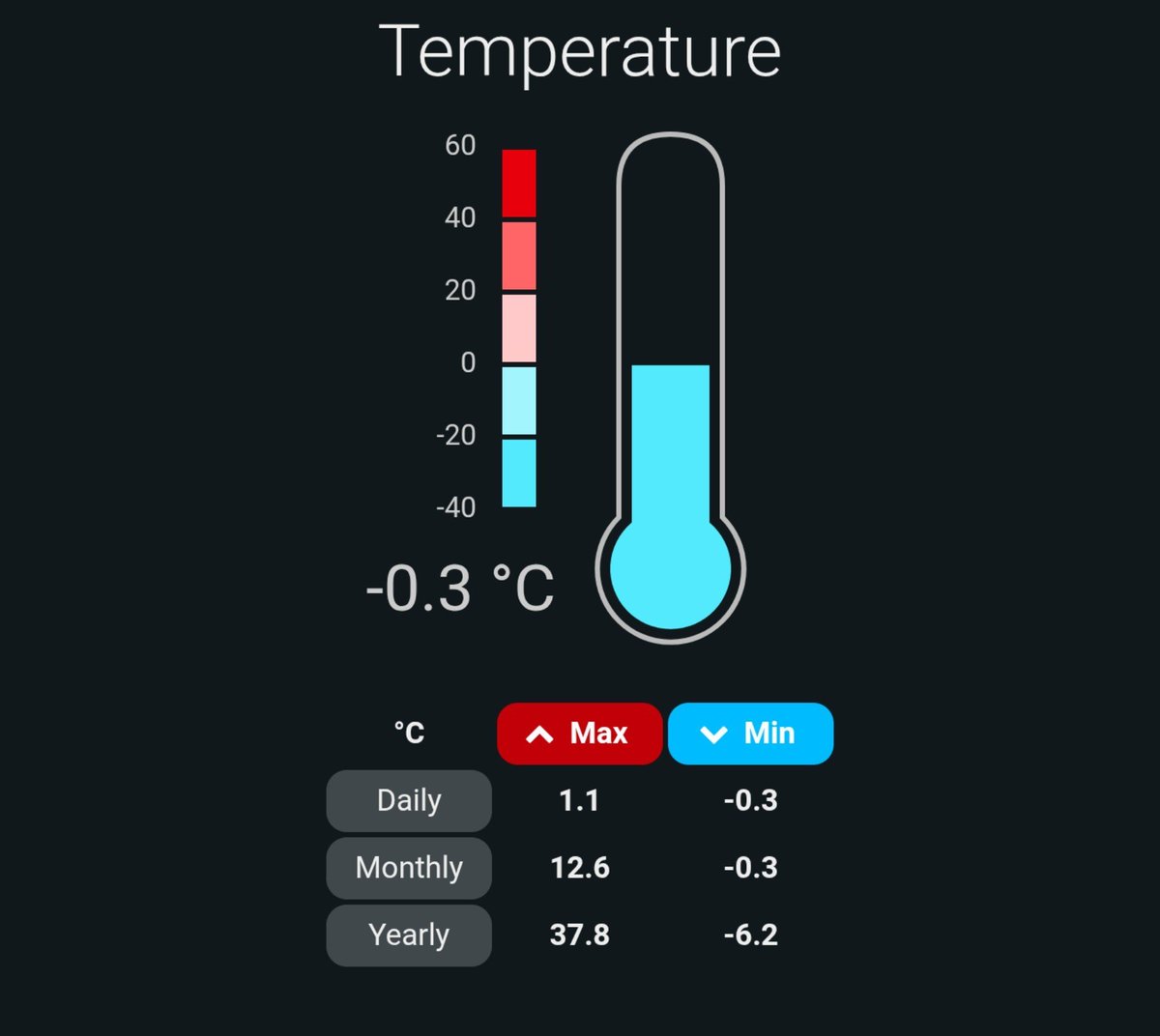
A steady drop in temps since around lunchtime as that colder northerly air flow digs in
Currently 3c here
Bring on those first couple of air frosts of the season 🎉
Baby steps to winter 👣
As per November forecast below, our largely high pressure dominated first half of Nov is now coming to an end
Sunday 15th brings the first of a series of low pressure systems in from the west
The second one on Tues might drop a little snow on northern edge - probably up north
Hello November👋
Snow watch starts here🚦
No sign of any snow conducive air, not even a first air frost either
High pressure largely dominates first 15-20 days of Nov, with mostly average temps
Less settled conditions & somewhat cooler air may arrive late in the month